Library | Tag
Hannes Matt's Climate risk tools: Germany collection
Refine
75 results
REFINE
SHOW: 16

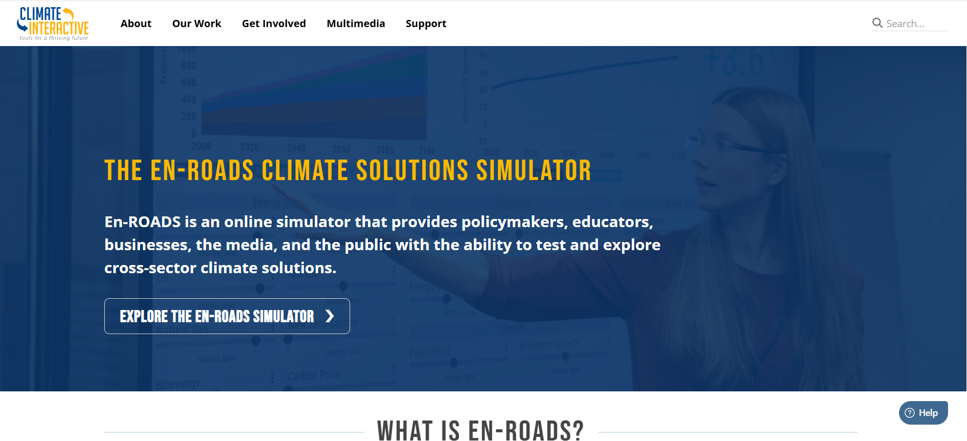
En-ROADS Climate Solutions Simulator
En-ROADS is an interactive global climate and energy policy simulation tool developed by Climate Interactive. It enables users to test policy scenarios and assess impacts on emissions, energy systems and temperature pathways to 2100, supporting climate risk analysis, strategy development and decision-making.
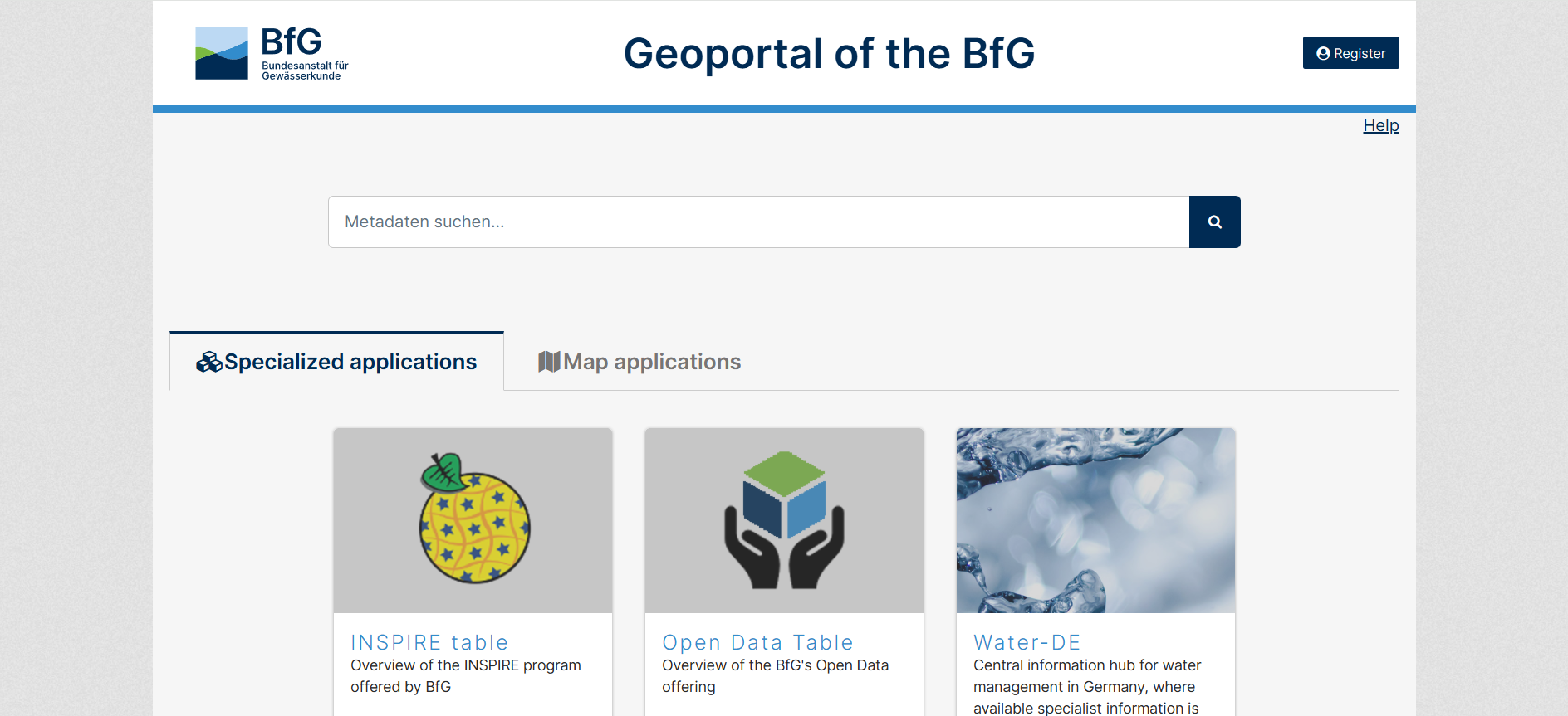
Geoportal of the BfG
The GGInA Geoportal is an online geospatial database operated by Federal Institute of Hydrology. It provides access to hydrological, waterway, and environmental spatial data for Germany, supporting analysis, research, and evidence-based decision-making through interactive maps and metadata services.
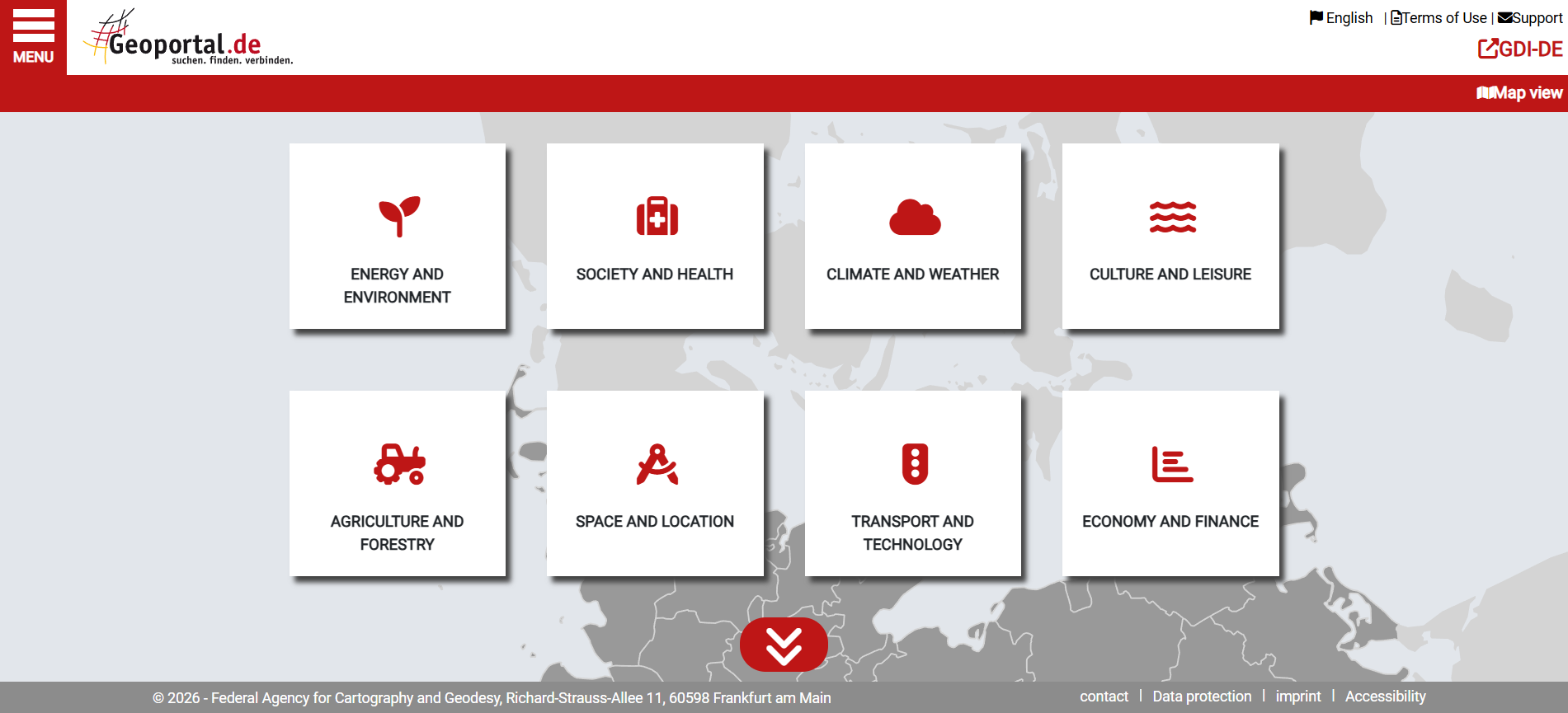
Geoportal.de
Geoportal.de is Germany’s national geospatial data portal, providing centralised access to official maps, datasets, and metadata from federal, state, and local authorities. It supports planning, environmental analysis, infrastructure development, and public-sector decision-making through standardised spatial data services.
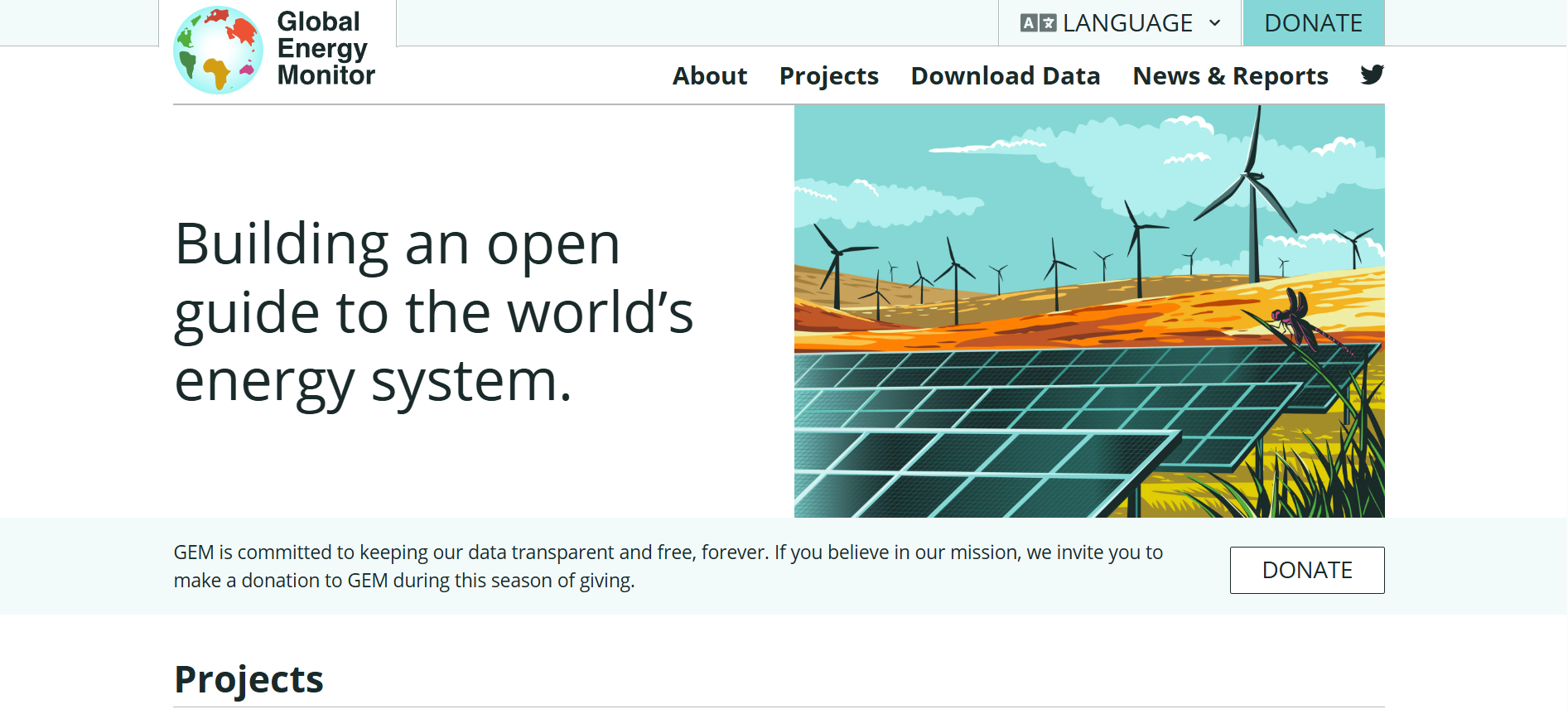
Global Energy Monitor
Global Energy Monitor is an open-access research database that compiles and analyses global energy infrastructure data, including fossil fuel and renewable projects, via interactive tools, maps and downloadable datasets to support informed analysis of energy trends and ownership structures.
KanataQ
KanataQ is a sustainability and ESG solutions marketplace that helps organisations identify, compare, and connect with software and service providers. The platform offers structured listings, trust scores, and market intelligence to support informed procurement and strategy decisions.
UNEP FI Sustainability Risk Tool Dashboard
The Sustainability Risk Tool Dashboard is an open-access database for financial institutions with an overview of 100+ environmental and social risk assessment tools, detailing features, metrics, methodologies, assumptions and common use cases to support sustainability risk analysis and comparison.
Swiss Data Cube
The Swiss Data Cube is a national platform providing consistent, long-term Earth observation data for Switzerland. It supports environmental monitoring, trend analysis, and evidence-based decision-making relevant to climate, land use, and natural resource management.
Open Geospatial Consortium (OGC) Standards
Open Geospatial Consortium (OGC) Standards provide open, internationally recognised specifications that enable interoperability of geospatial data, services, and applications. They support consistent data exchange across systems, improving integration, analysis, and decision-making for organisations using spatial information across public and private sectors.
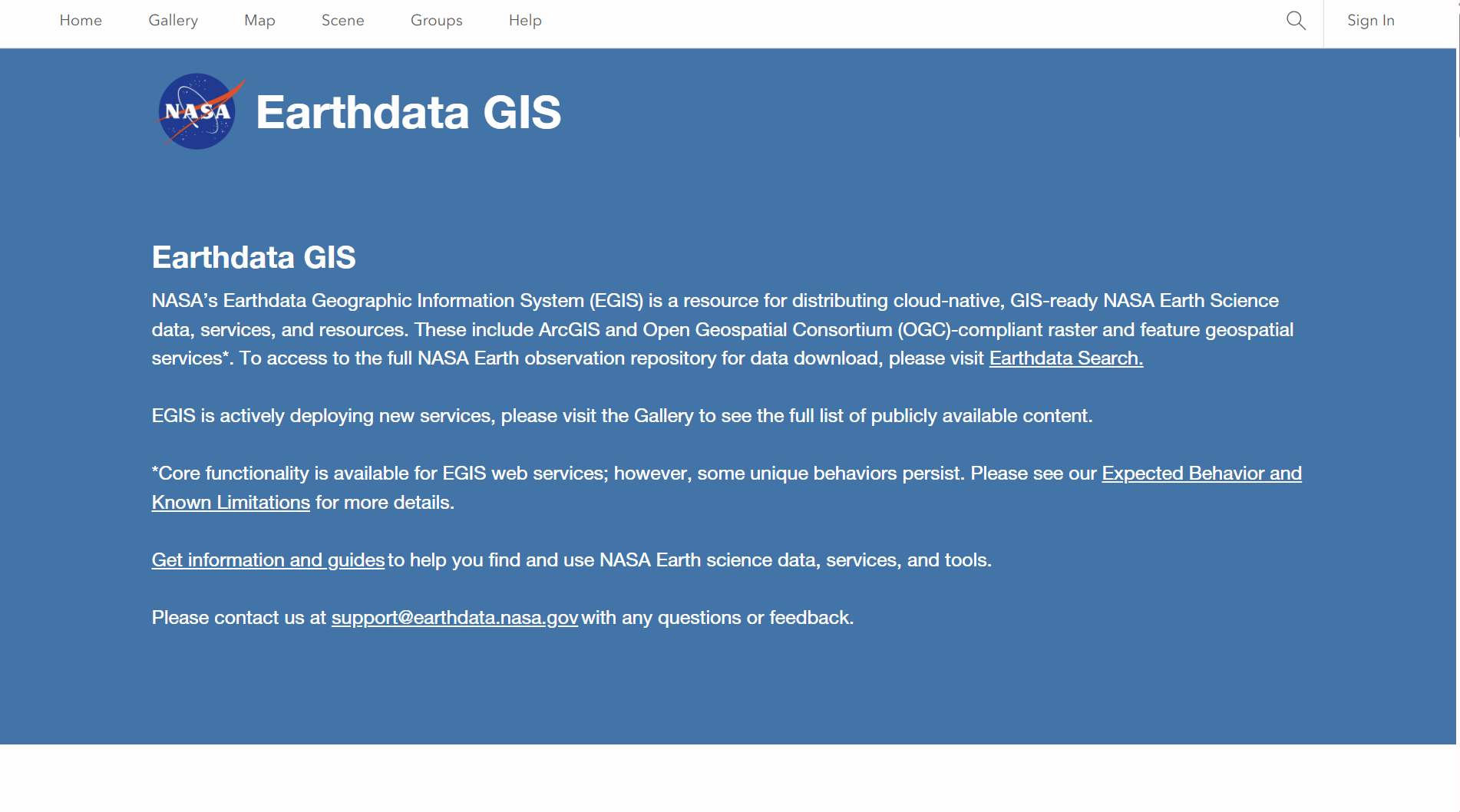
NASA Earthdata GIS
NASA Earthdata GIS Portal provides web-based access to geospatial datasets, maps, and analytical tools covering climate, land, oceans, and atmosphere. It enables users to visualise, analyse, and download Earth observation data, supporting risk assessment, environmental monitoring, and evidence-based decision-making for finance and sustainability analysis.

NASA Earthdata VEDA Dashboard
The NASA Earthdata Dashboard is an interactive platform for discovering and exploring Earth observation datasets. It allows users to search, filter, and visualise data by theme and taxonomy, supporting analysis of climate, environmental, and geospatial information relevant to risk assessment and research.
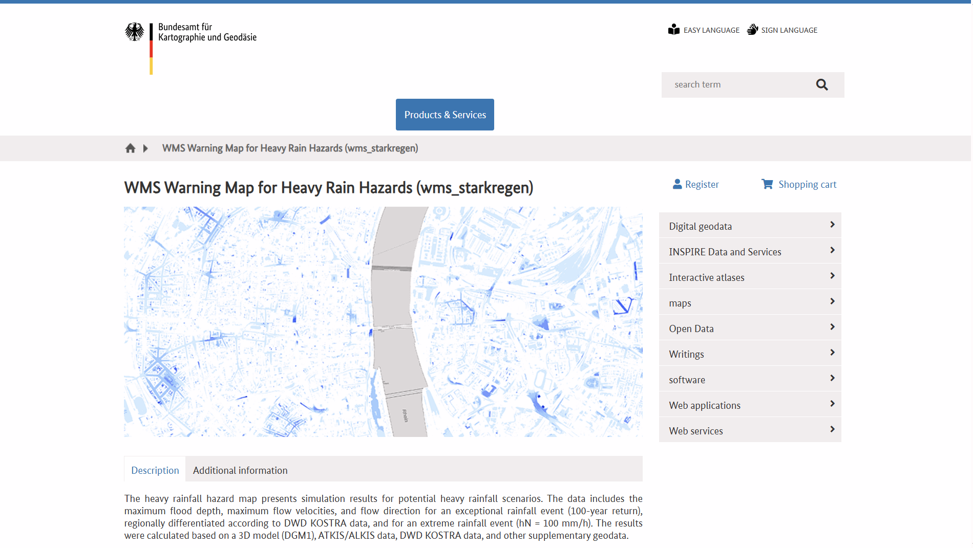
WMS Warning Map for Heavy Rain Hazards (WMS Hinweiskarte Starkregengefahren)
WMS Hinweiskarte Starkregengefahren is a German national Web Map Service showing simulated heavy-rain hazard data, including maximum inundation depths, flow velocities and directions for extreme rainfall scenarios. It supports GIS integration and helps outline potential surface flood risk areas nationwide.
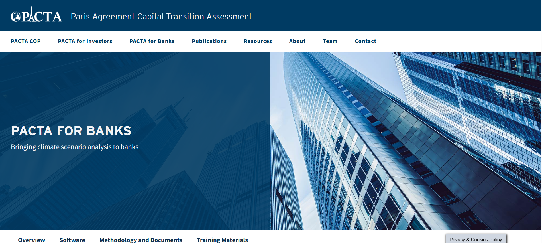
Paris Agreement Capital Transition Assessment
PACTA for Banks is a free, open-source climate scenario analysis toolkit that enables banks to assess how well their corporate lending portfolios align with climate scenarios, using sector and asset-level data to inform lending strategy and climate target-setting.
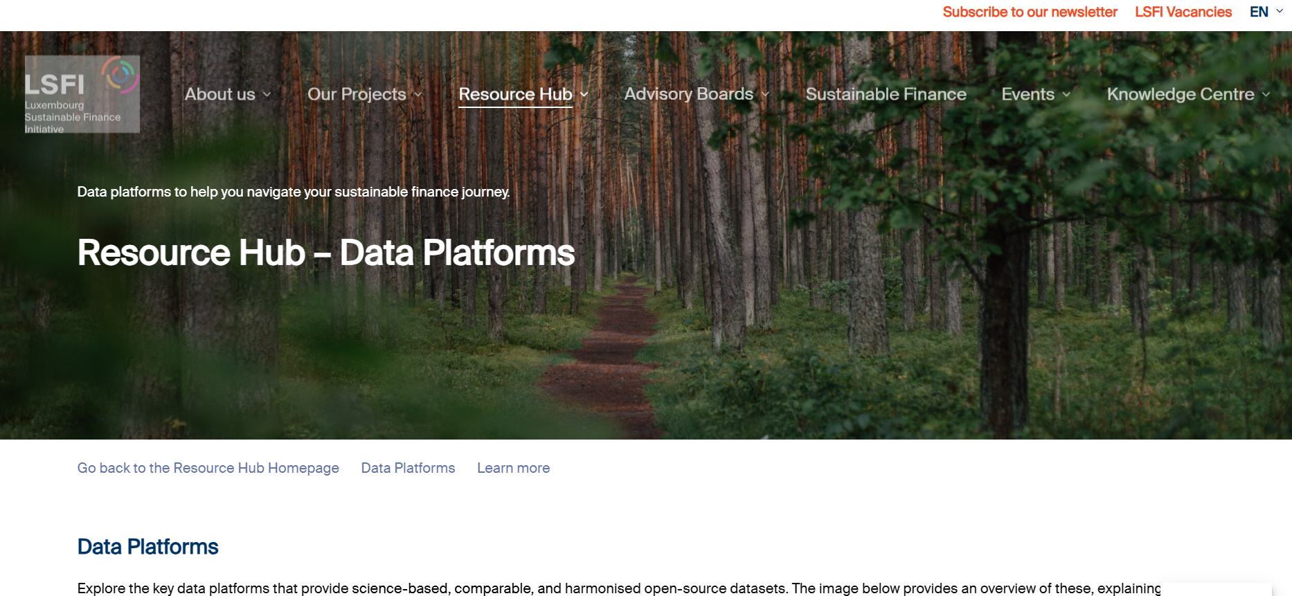
LSFI Data Platforms
The Luxembourg Sustainable Finance Initiative Tools page curates open-source data platforms supporting sustainable finance. It provides access to climate, biodiversity, social and transition-risk tools used for ESG integration, risk analysis, policy assessment and investment decision-making across financial institutions.
GHG Protocol Life Cycle Databases
The GHG Protocol Life Cycle Databases page lists third-party life cycle inventory and emissions datasets to support product life cycle and corporate value chain (Scope 3) greenhouse gas accounting. It links to multiple global and sector-specific LCI sources, with summaries of content, formats and accessibility.
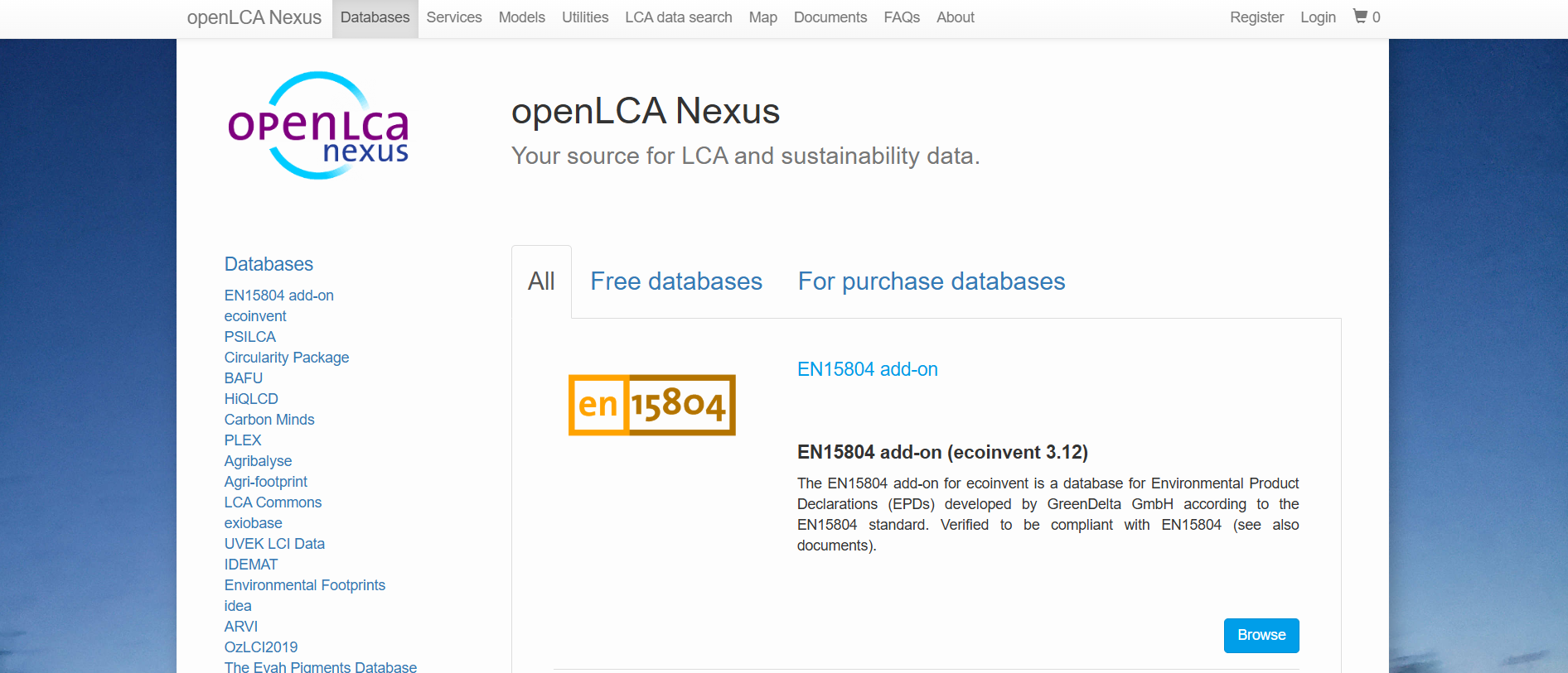
openLCA Nexus
openLCA Nexus is an online repository providing access to life cycle assessment databases for environmental and sustainability analysis. It hosts free and licensed datasets from multiple providers, covering energy, materials, agriculture, transport and waste, designed for use within the openLCA software environment.
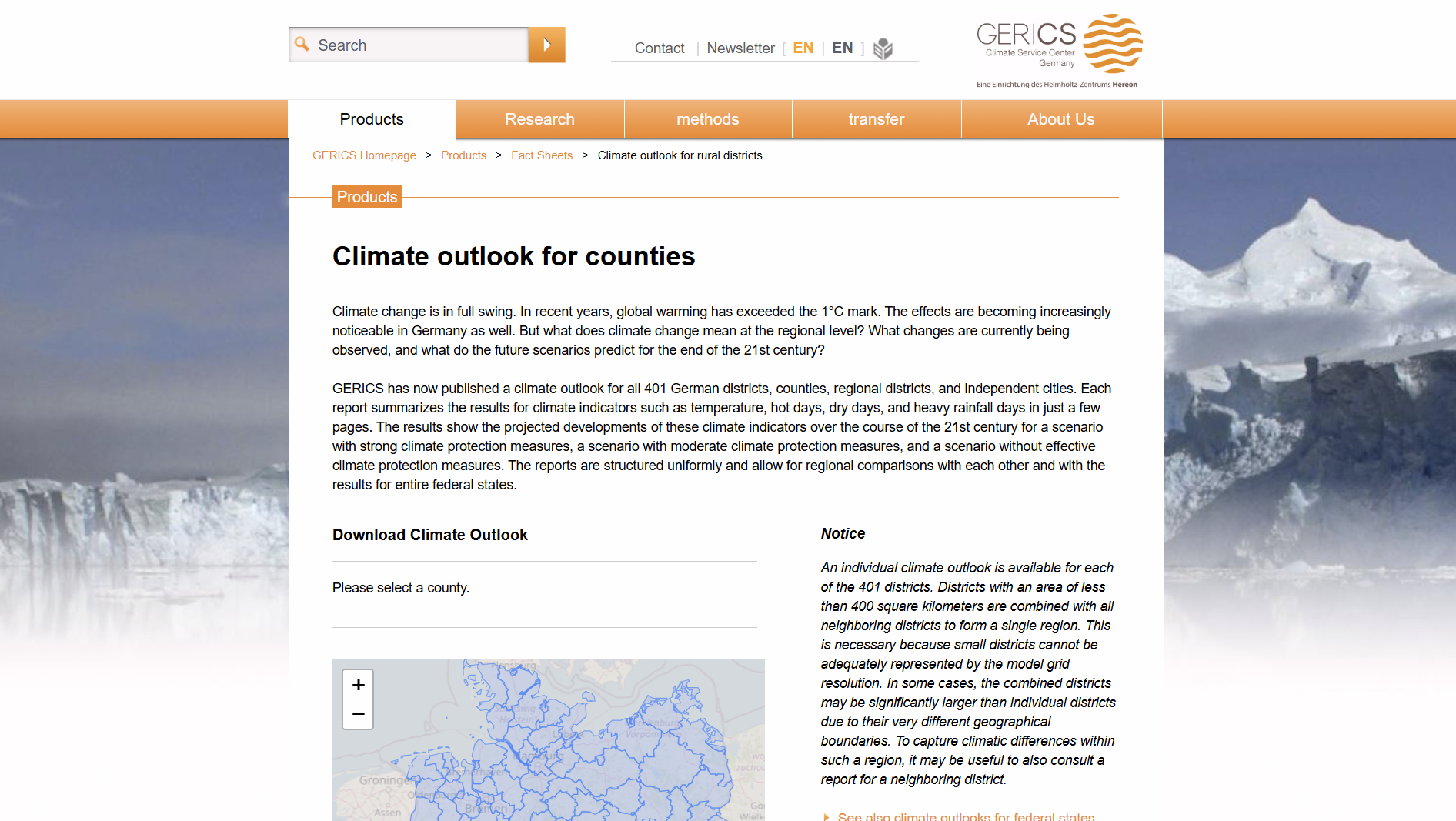
GERICS: Climate Service Center Germany
This tool provides climate impact fact sheets for German rural districts (Landkreise), developed by GERICS. It offers region-specific climate indicators, projections, and risks to support evidence-based decision-making, adaptation planning, and risk assessment relevant to public authorities and finance professionals.