Library | Tag
Hannes Matt's Climate risk tools: Germany collection
Refine
75 results
REFINE
SHOW: 16

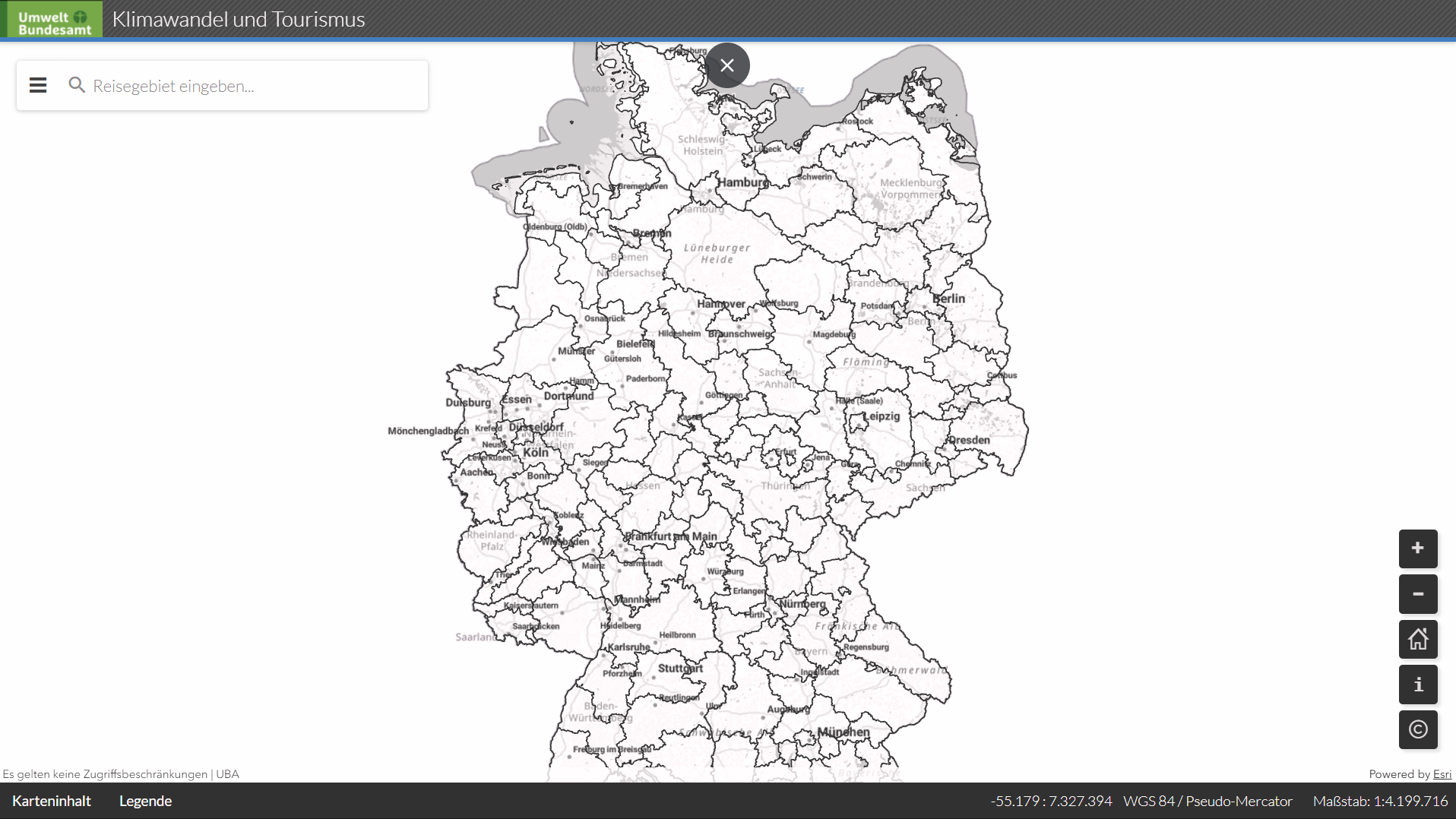
UBA: Climate change and tourism (UBA: Klimawandel und Toursimsu)
An interactive German Environment Agency (UBA) GIS tourism map showing climatic trends for key travel regions in Germany, including visualised climate data, tables and time series to support analysis of climate impacts on tourism. It aids environmental and regional planning by linking spatial data to tourism-related climate indicators
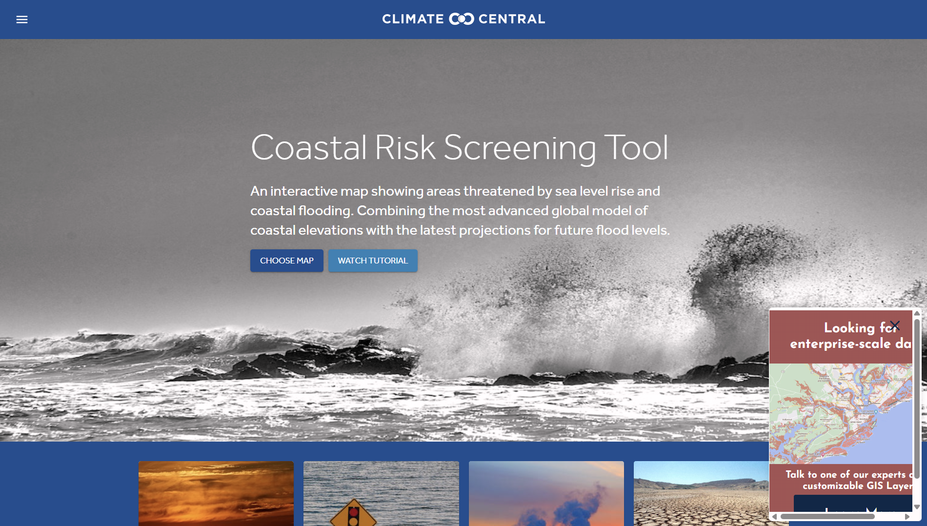
Climate Central: Coastal Risk Screening Tool
The Coastal Risk Screening Tool by Climate Central provides interactive maps and data showing current and future coastal flood exposure from sea-level rise and storm surge. It supports financial risk assessment, asset screening, and location-based climate impact analysis for coastal regions.
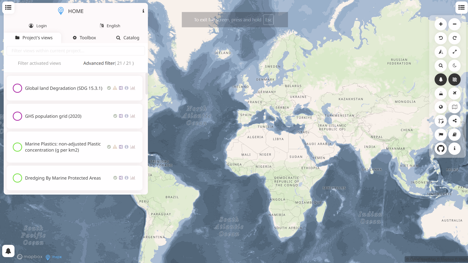
WESR: Risk
WESR: Risk is an analytical tool that examines systemic environmental and societal risks and their potential economic impacts. It provides structured insights into risk drivers, interconnections and long-term trends, supporting high-level risk identification and contextual analysis for finance and investment decision-making.
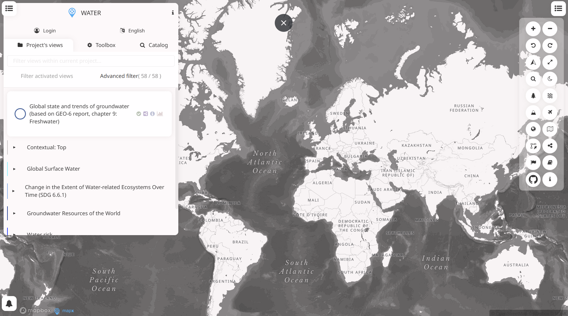
WESR: Water
WESR – Water provides geospatial insights on water availability, stress, and related risks. It supports location-based assessment of water-related exposure, enabling finance professionals to integrate water risk considerations into investment analysis, risk management, and sustainability decision-making.
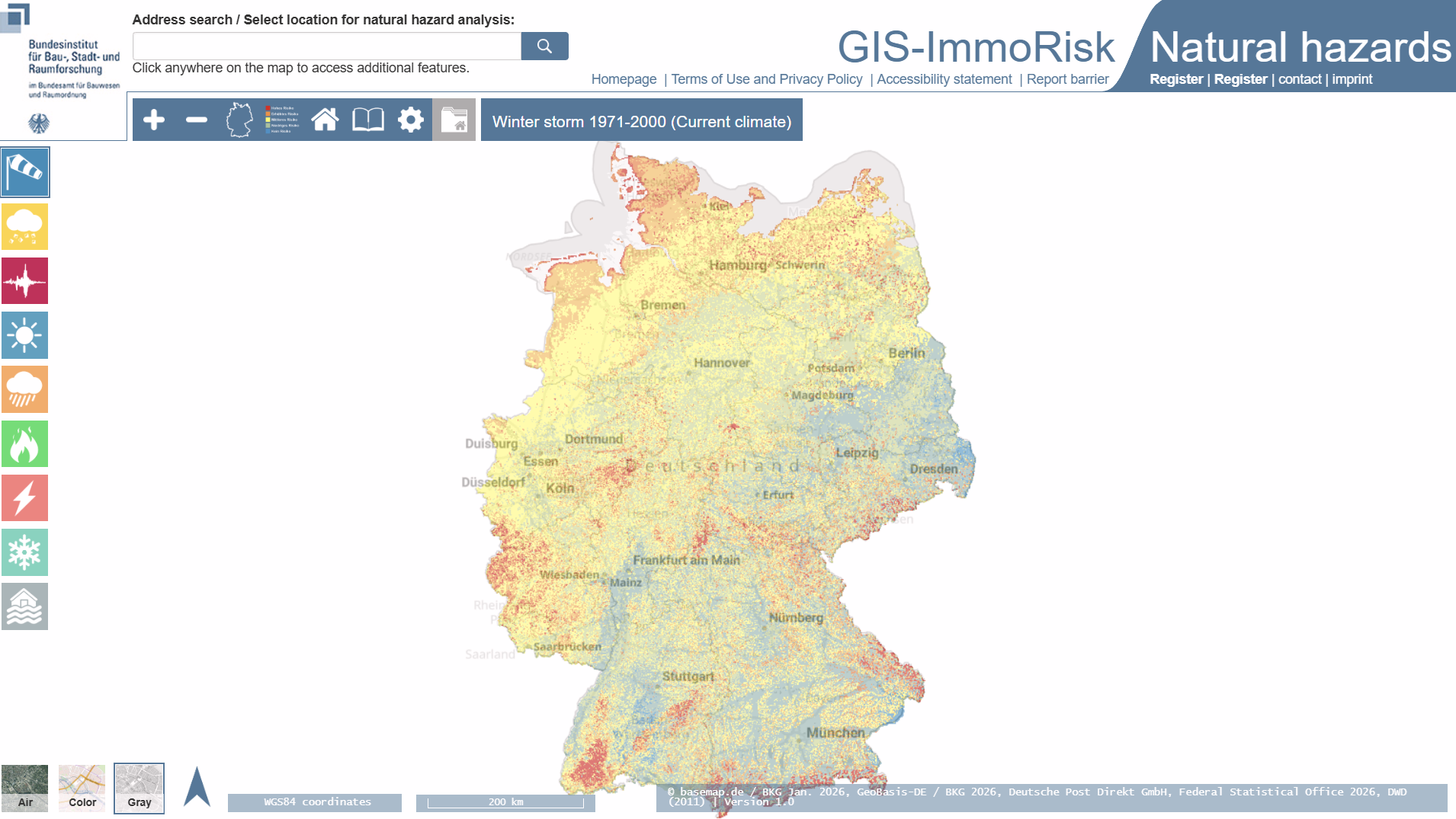
GIS-ImmoRisk Natural Hazard (GIS-ImmoRisk Naturgefahren)
GIS-ImmoRisk Naturgefahren is a German web-based GIS tool for assessing natural hazard exposure and property-specific risk from events such as floods, storms, heat and earthquakes. It combines location-based hazard data with building characteristics to inform risk analysis and investment decisions for real estate professionals.
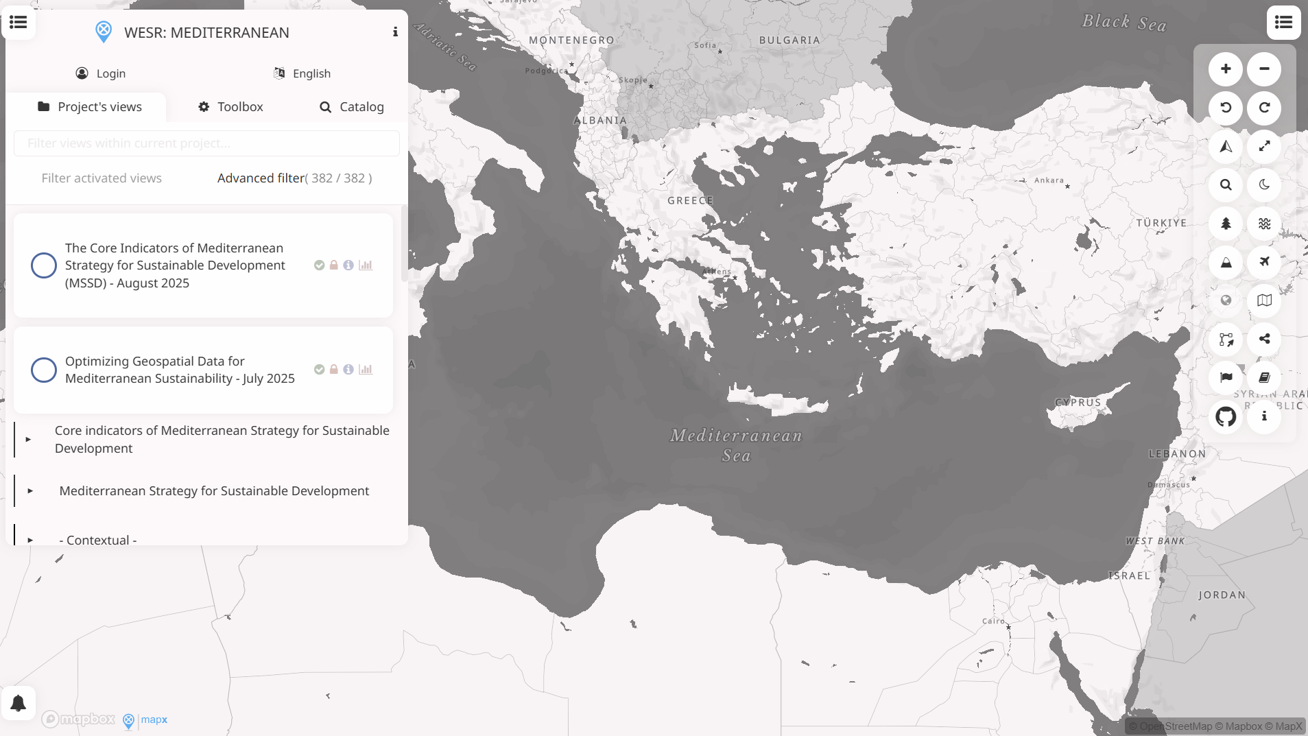
WESR: Mediterranean
The WESR: Mediterranean MapX project provides geospatial data on environmental stressors and ecosystem risks across the Mediterranean region. It supports analysis of climate, biodiversity and resource pressures, offering spatial evidence to inform environmental risk assessment and sustainability considerations relevant to finance and investment decision-making.
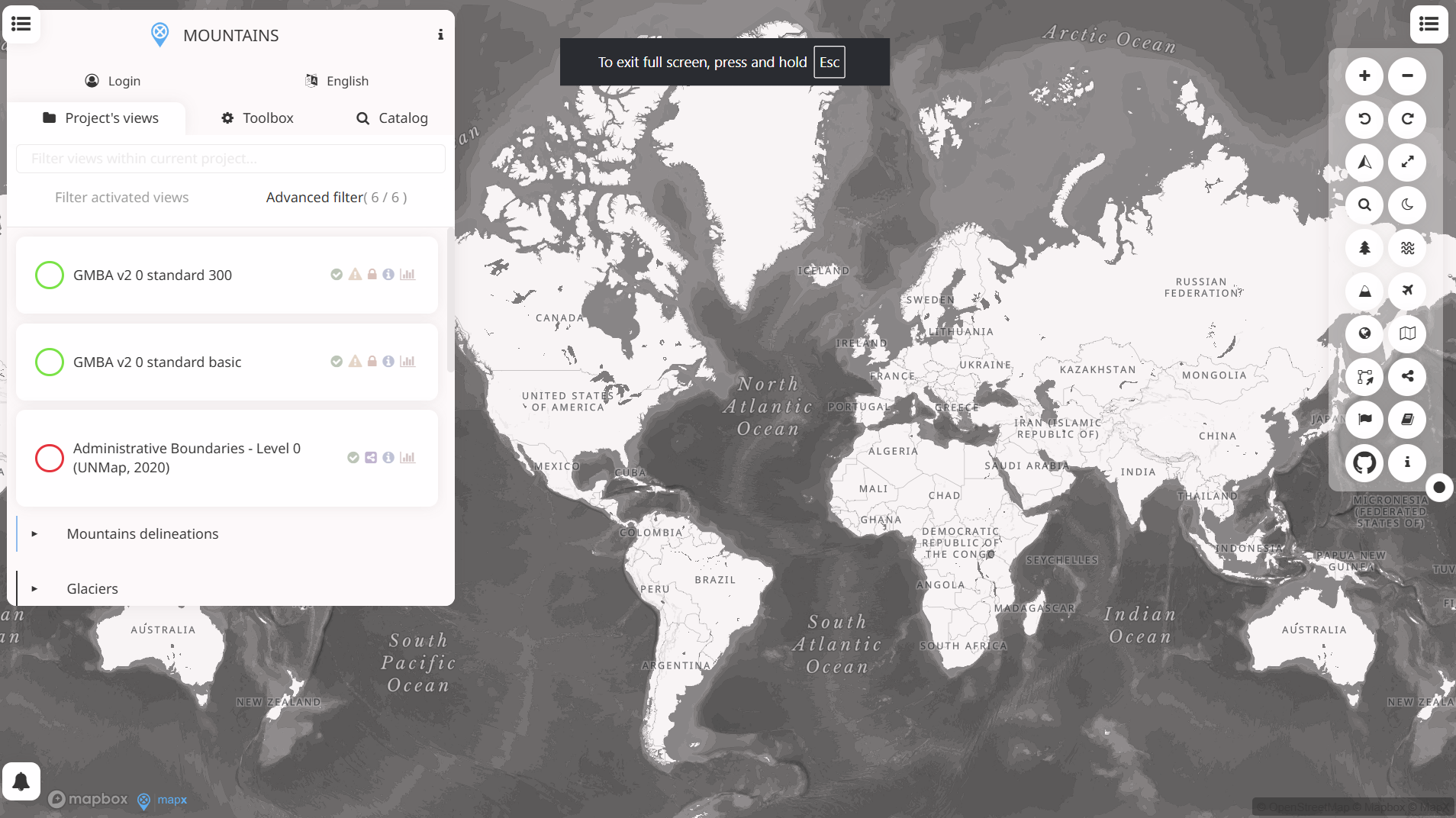
WESR: Mountain
WESR: Mountains on MapX is a geospatial tool that maps environmental and socio-economic indicators across mountain regions. It supports spatial analysis of climate, biodiversity and livelihoods, enabling evidence-based assessment of risks, resilience and sustainable development priorities in mountain ecosystems.
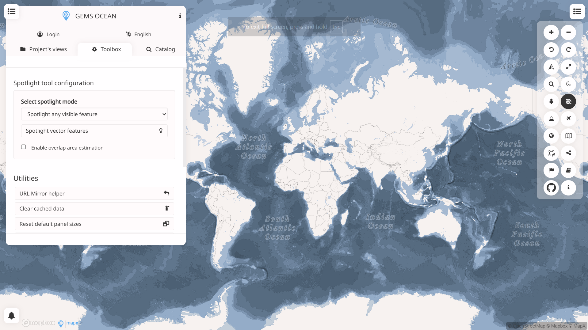
WESR: Ocean
WESR: Ocean provides high-level insights into ocean-related environmental risks and pressures, including marine ecosystems, pollution and resource use. It supports risk identification and contextual analysis for financial decision-making linked to ocean health, coastal exposure and sustainability considerations.
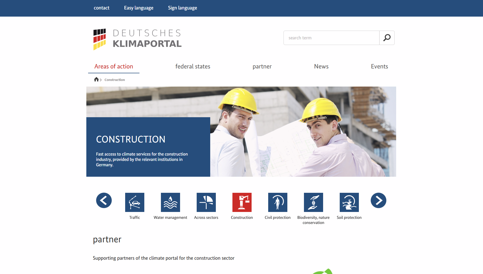
Deutsches Klimaportal
Deutsches Klimaportal’s Bauwesen section offers streamlined access to German climate services and data relevant to the built environment, drawn from national providers. It supports climate adaptation planning and decision-making for the construction sector with factual climate information and tools.
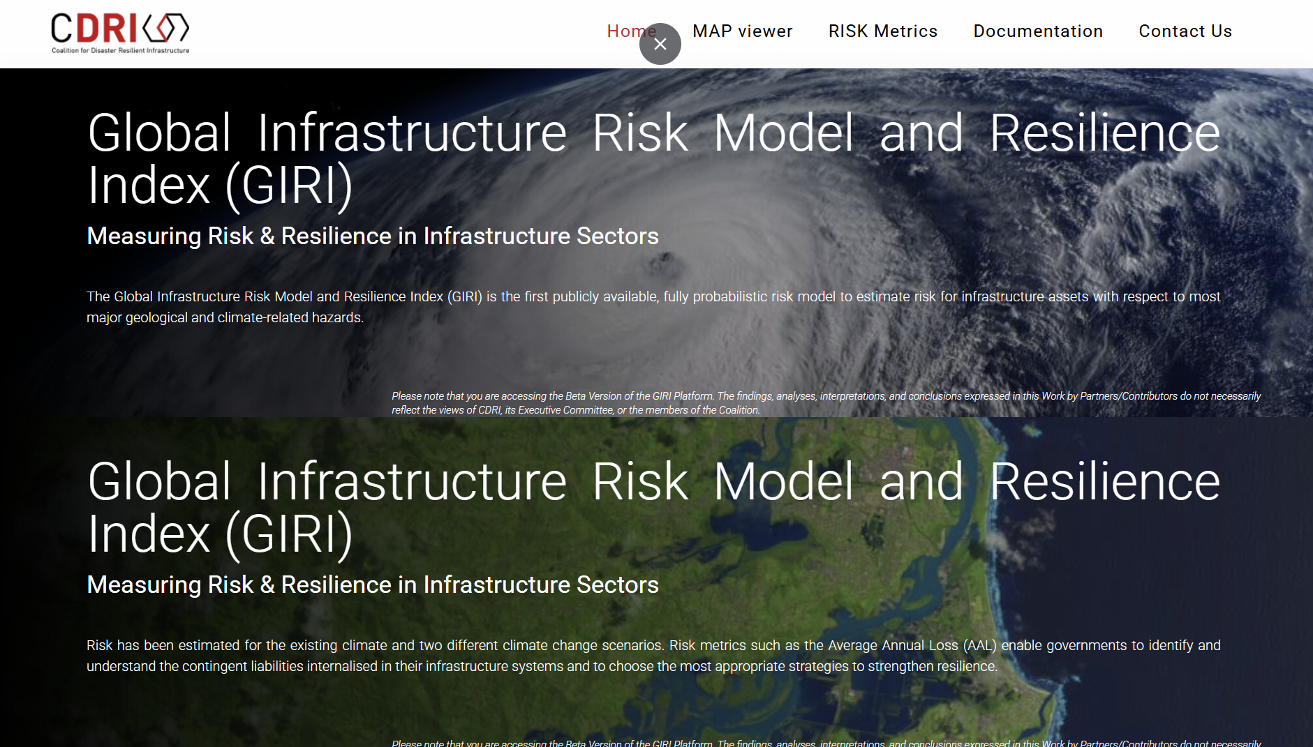
Global Infrastructure Risk Model and Resilience Index (GIRI)
The Global Infrastructure Risk Model and Resilience Index (GIRI) is a public, probabilistic model estimating infrastructure risk from major geological and climate hazards and resilience across sectors. It provides metrics like Average Annual Loss to inform national infrastructure risk assessment and resilience planning.
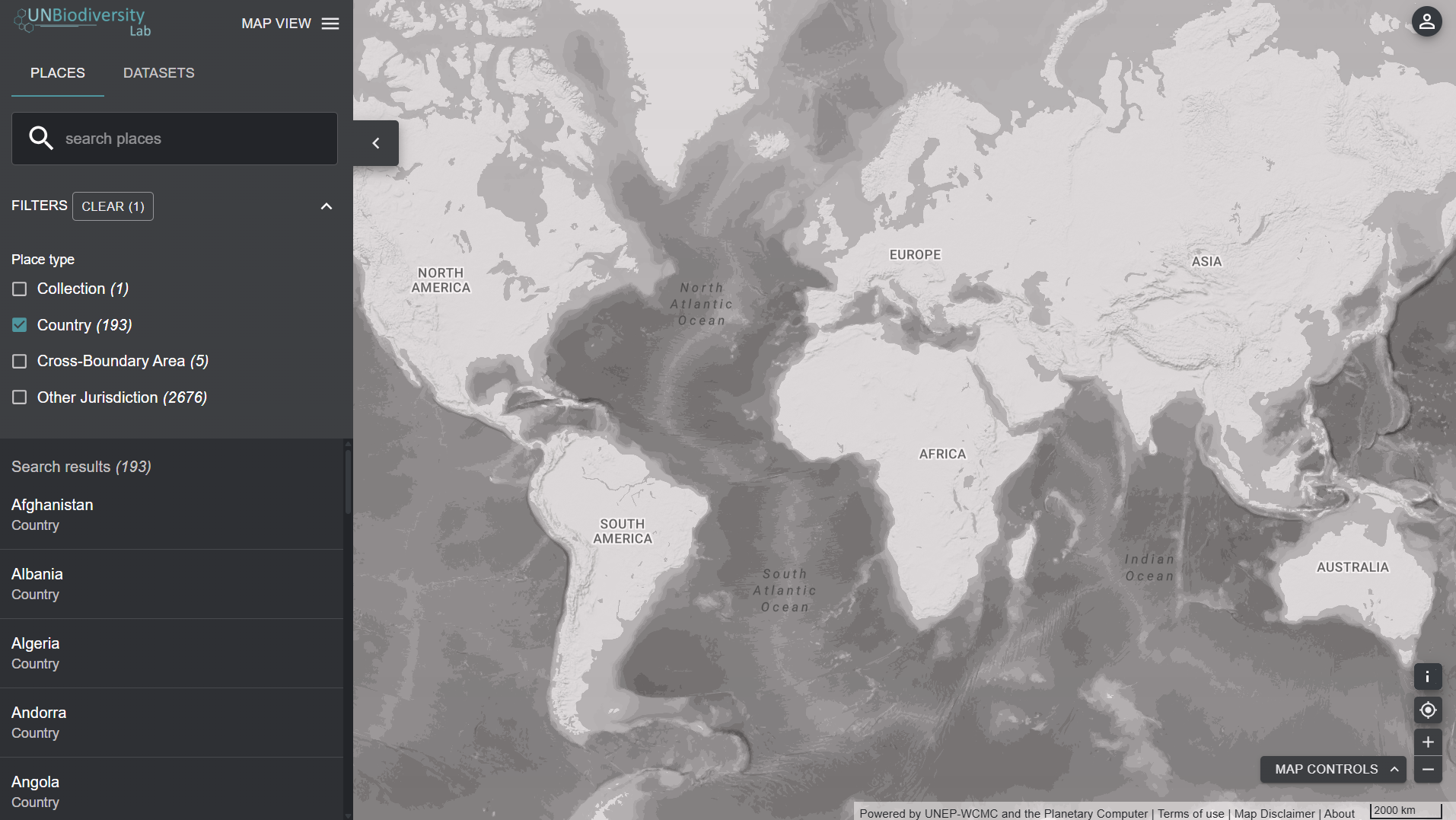
UN Biodiversity Lab
UN Biodiversity Lab’s Earth map is a free, online spatial data tool that lets users view and interact with over 400 global biodiversity, climate change and sustainable development map layers for analysis and planning. It supports visualising, downloading and combining datasets to inform conservation and policy decisions.
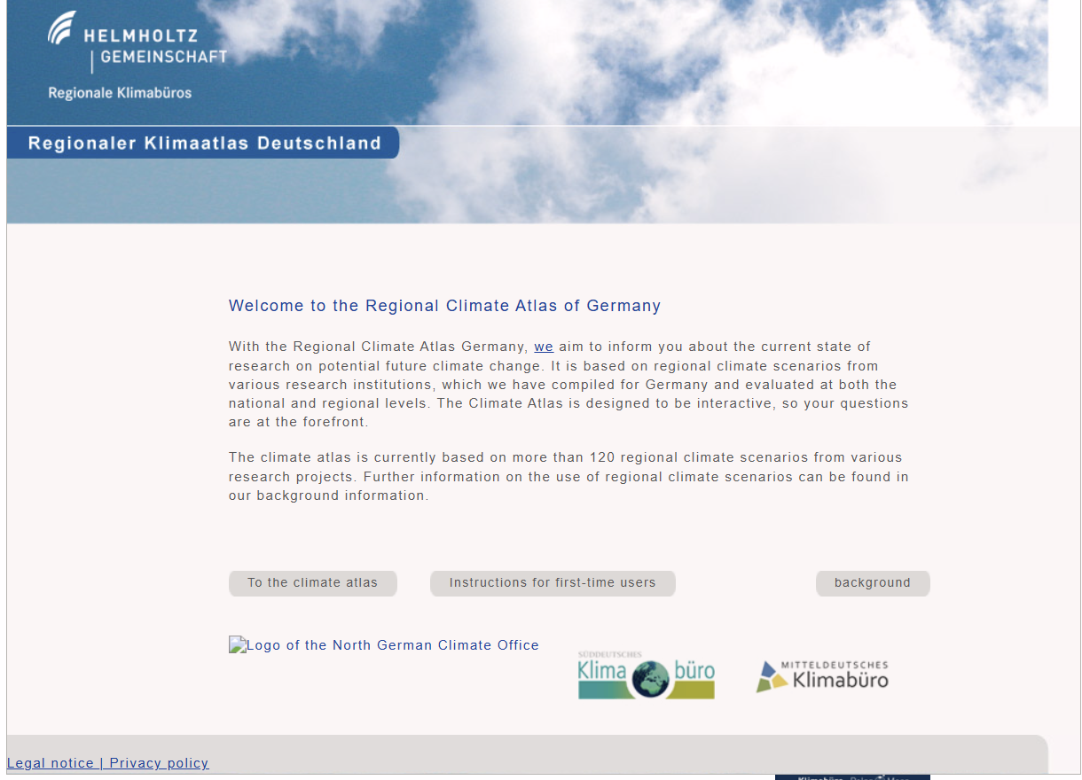
Regional Climate Atlas of Germany (Regionaler Klimaatlas Deutschland)
Regionaler Klimaatlas Deutschland is an interactive web tool presenting over 120 regional climate scenarios for Germany. It summarises research on future climate change, enabling users to view projected changes in climate elements such as temperature, precipitation and wind at national and regional levels.
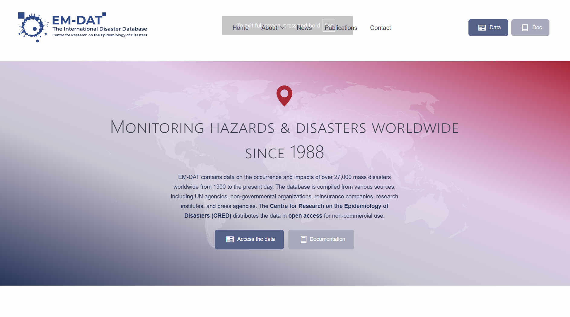
EM-DAT – The international disaster database
EM-DAT is a global database of over 27 000 major natural and technological disasters since 1900, recording their occurrence and human and economic impacts. Maintained by the Centre for Research on the Epidemiology of Disasters (CRED), it supports evidence-based disaster risk reduction, preparedness and vulnerability assessment.
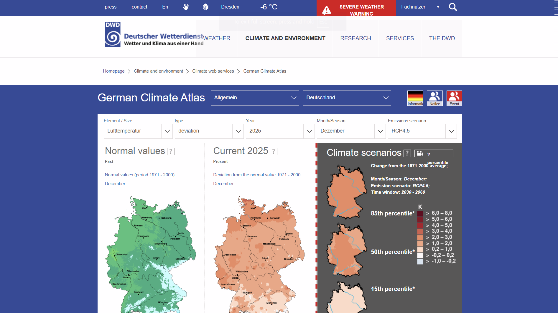
German Climate Atlas (Deutscher Klimaatlas)
The Deutscher Klimaatlas by the German Weather Service (DWD) is an interactive online tool that presents maps and time-series of past, current and projected future climate data for Germany (1881–2100), showing spatial and temporal climate patterns and scenarios.
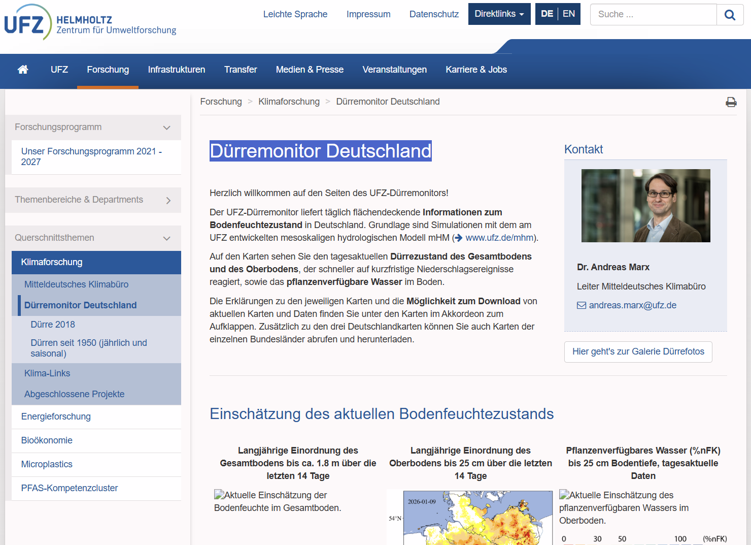
Drought Monitor Germany (Dürremonitor Deutschland)
The UFZ Drought Monitor provides daily, spatially resolved maps and downloadable data on soil moisture and drought conditions across Germany. It uses simulations from the mesoscale hydrological model (mHM) to indicate drought severity in topsoil and total soil profiles, supporting climate and water resource research.
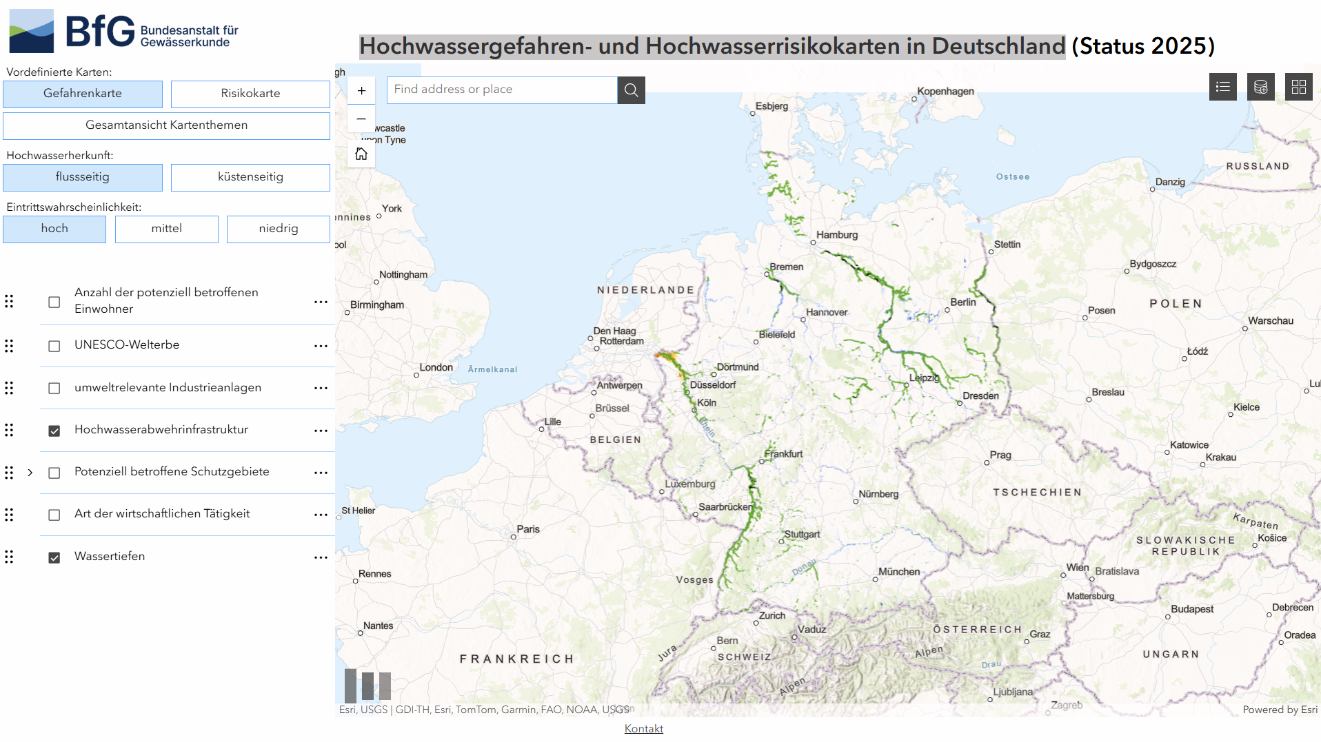
Flood hazard and flood risk maps in Germany (Hochwassergefahren- und Hochwasserrisikokarten in Deutschland)
A German Federal Institute of Hydrology geoportal showing current national flood hazard and risk maps, combining official flood extent, probability and risk layers for reporting under the EU Floods Directive. It supports spatial analysis and links to regional hazard data from responsible authorities.