Library | Tag
Hannes Matt's Climate risk tools: Germany collection
Refine
75 results
REFINE
SHOW: 16

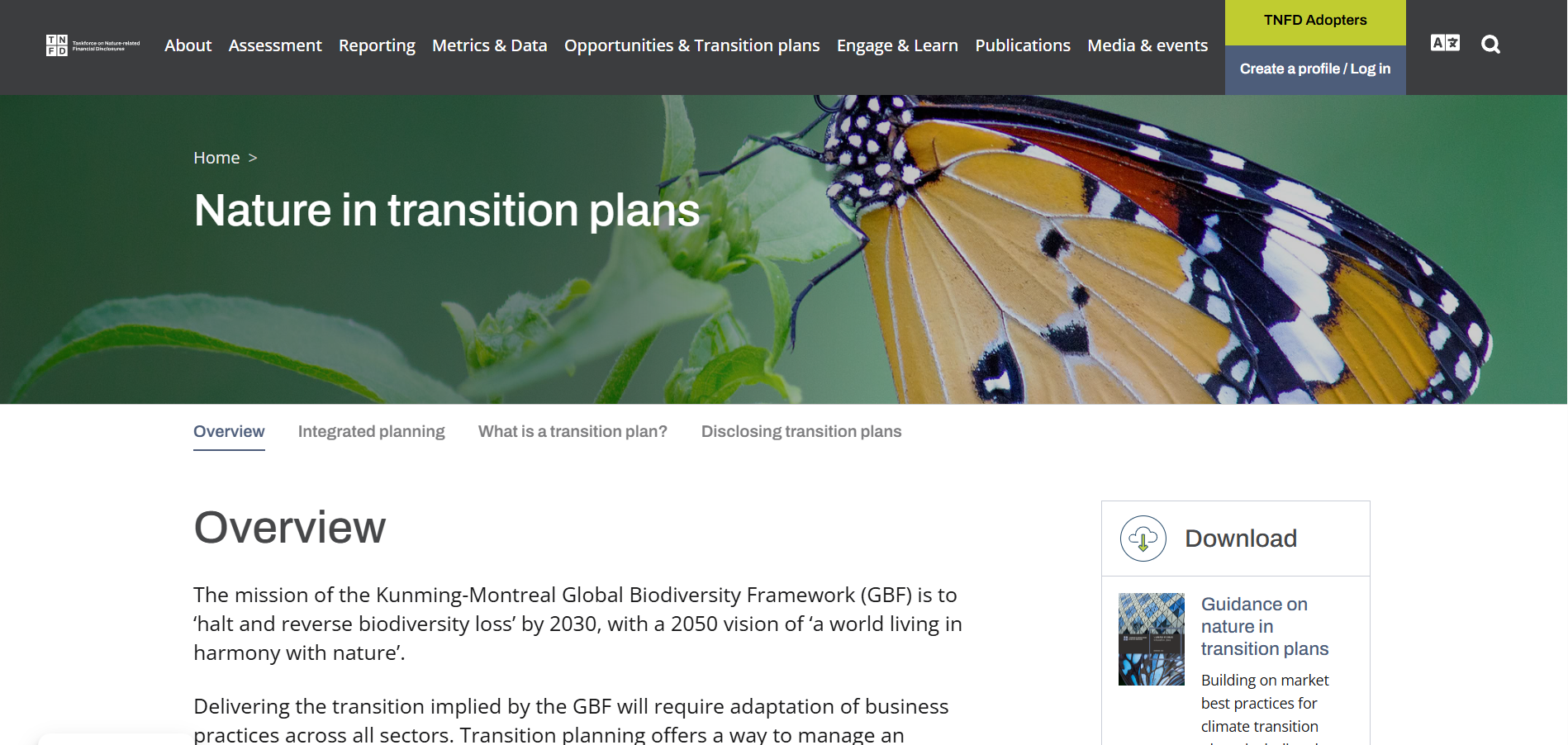
TNFD: Nature Transition Plans
The TNFD Nature Transition Plans tool provides guidance for integrating nature-related goals, actions, governance and disclosures into organisational transition planning. It supports alignment with the Global Biodiversity Framework and helps organisations assess, plan and communicate responses to nature-related dependencies, impacts, risks and opportunities.
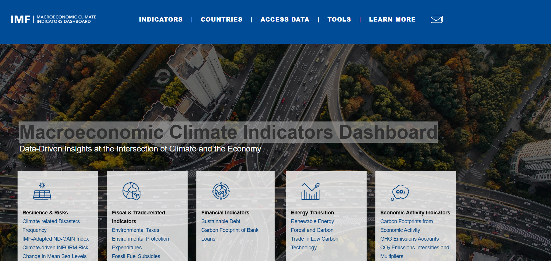
Macroeconomic Climate Indicators Dashboard
IMF Climate Data Portal
International Monetary Fund climate data portal provides country-level indicators linking climate change with macroeconomic and financial analysis, including emissions, climate risks, adaptation, mitigation, and climate finance. Data are standardised, downloadable, and designed to support policy, research, and comparative economic assessment.
International Monetary Fund climate data portal provides country-level indicators linking climate change with macroeconomic and financial analysis, including emissions, climate risks, adaptation, mitigation, and climate finance. Data are standardised, downloadable, and designed to support policy, research, and comparative economic assessment.
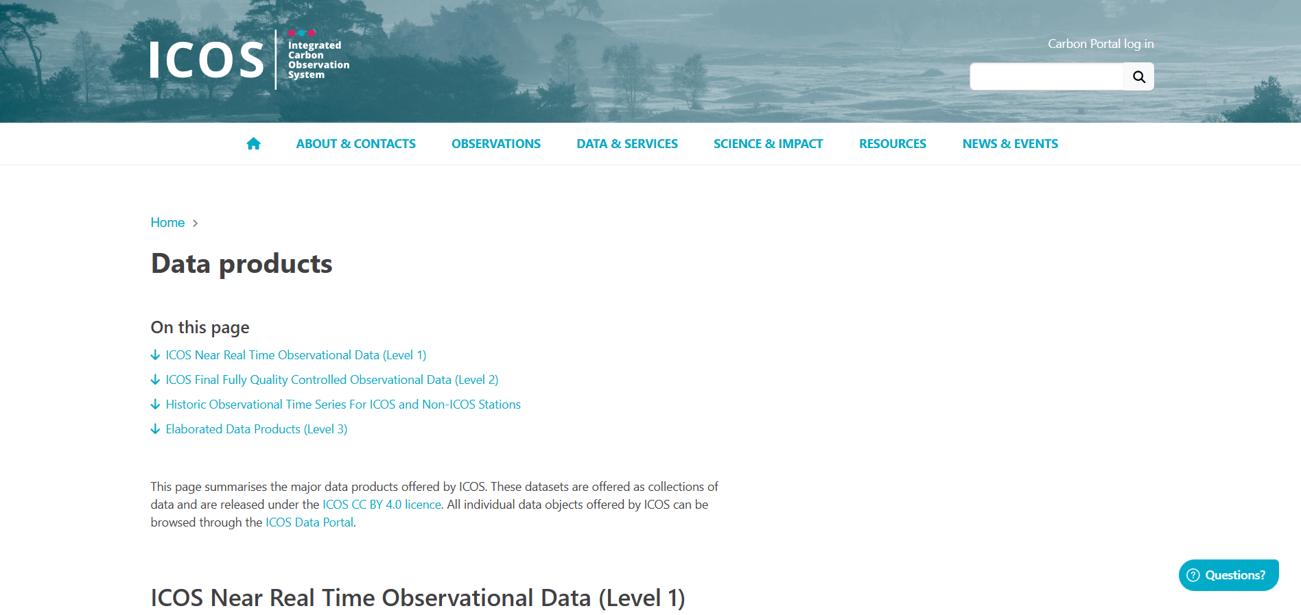
Integrated Carbon Observation System (ICOS)
Integrated Carbon Observation System (ICOS) Near Real-Time Observational Data (Level 1) provides rapidly delivered atmospheric and ecosystem measurements, typically within 24 hours. Data undergo automated quality control only and are released as growing time series. Suitable for monitoring and exploratory analysis, not final scientific assessment.
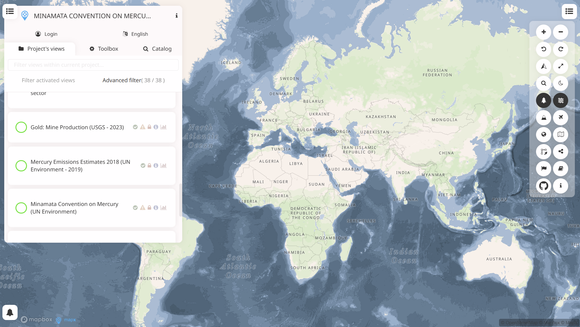
Minamata Convention Data Platorm
Minamata Convention Data Platorm is an open-source, cloud-based geospatial platform for managing, analysing and visualising spatial data on natural resources and the environment. It supports dashboards, maps and story maps to aggregate and share authoritative data for decision-making and impact monitoring.
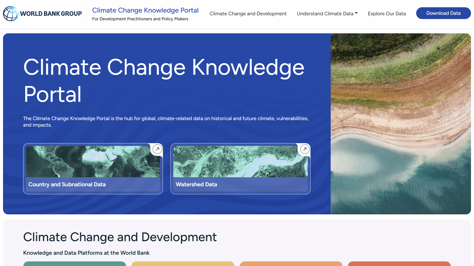
World Bank CMIP5 Global Climate Change Viewer
The World Bank’s Climate Knowledge Portal – CMIP5 section provides access to historical and future climate projections based on the Coupled Model Intercomparison Project Phase 5. It supports analysis of temperature, precipitation and climate risks for countries/regions using multi-model ensemble data to inform climate risk assessment and adaptation planning.
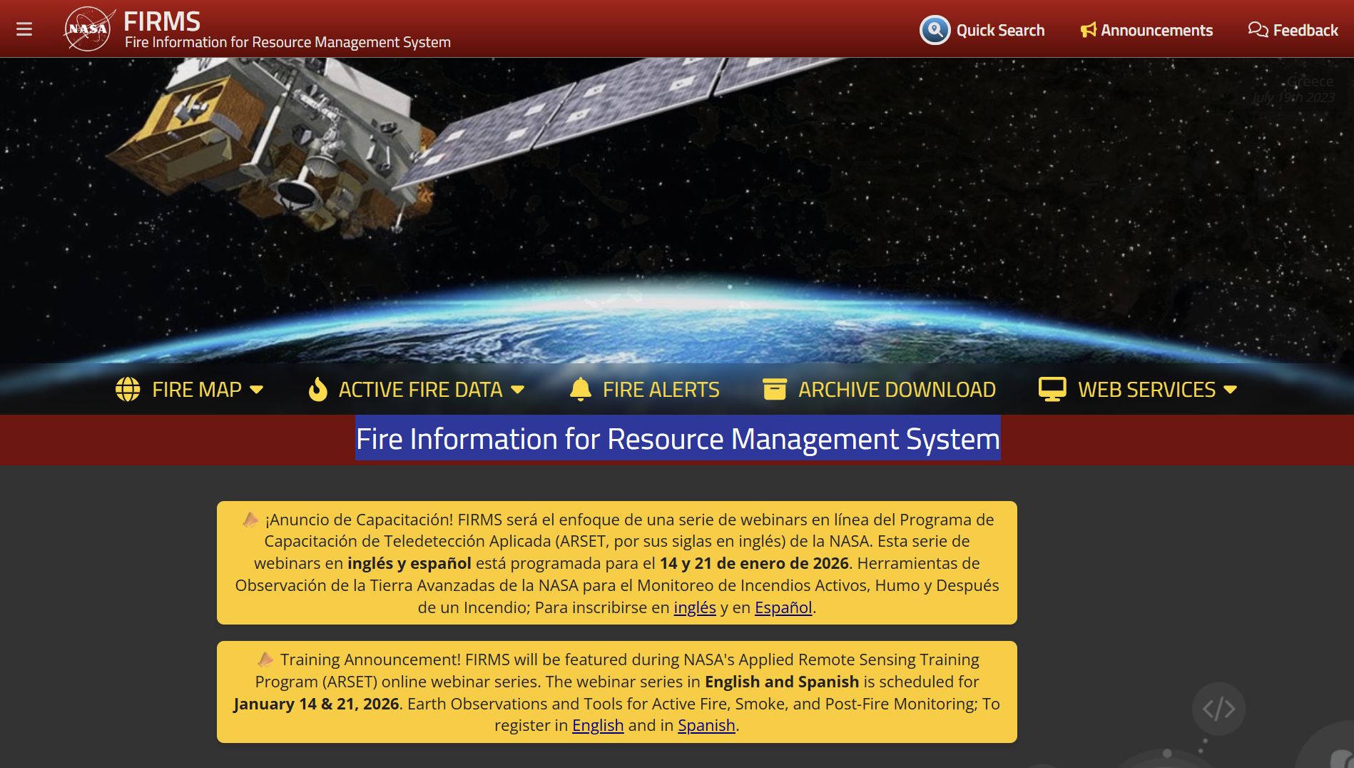
FIRMS Fire Information for Resource Management System
NASA’s Fire Information for Resource Management System (FIRMS) provides global near-real-time satellite data on active fires and thermal anomalies, viewable via interactive maps, alerts and downloadable files. It uses MODIS and VIIRS instruments to detect fire locations and deliver data within hours for monitoring, analysis and decision-making.
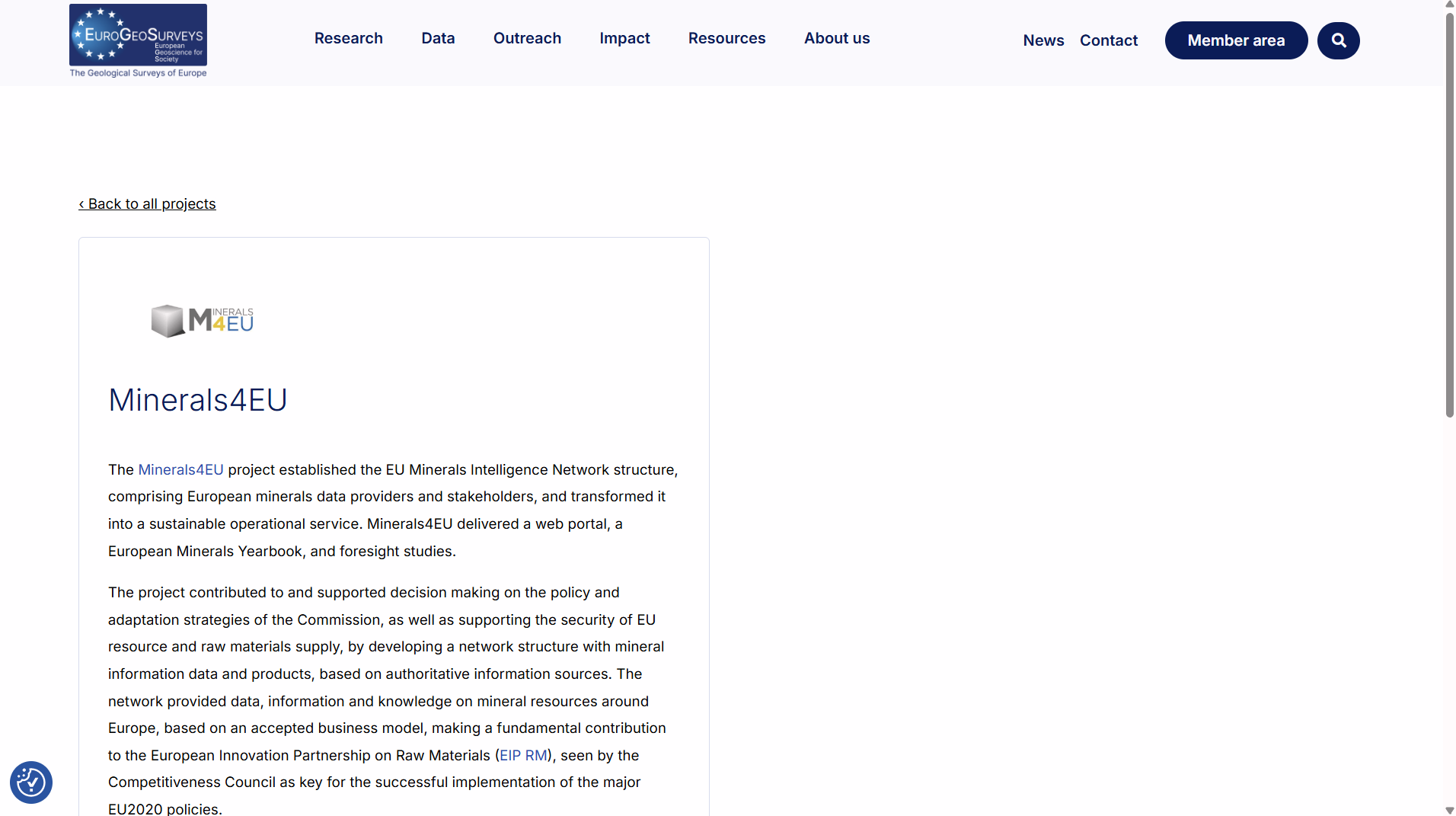
European Minerals Knowledge Data Platform (Minerals4EU)
Minerals4EU is an EU-supported initiative that created a harmonised minerals intelligence network and web portal, offering standardised European mineral resource data, a Minerals Yearbook and analytical studies. It supports policy decisions and raw materials supply security through shared georesource information across European geological surveys.
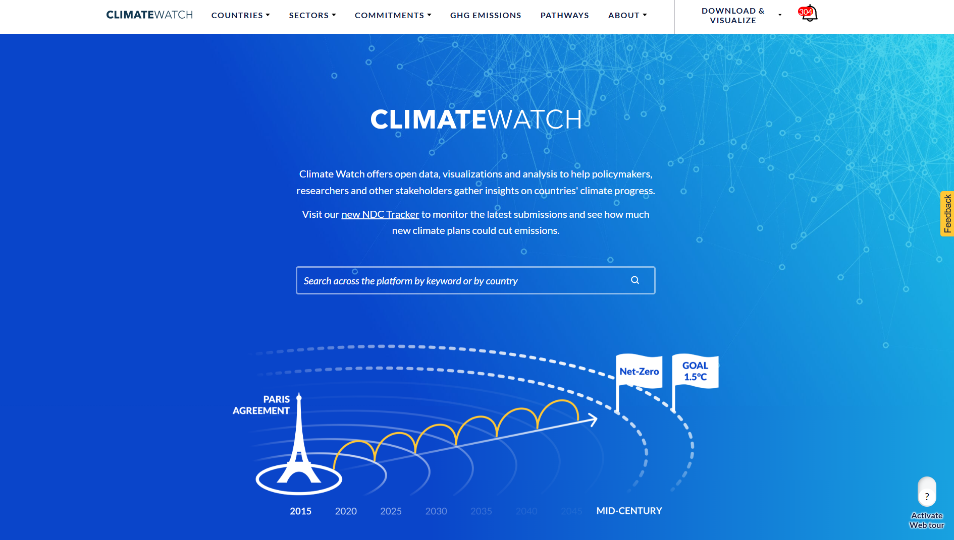
CLIMATEWATCH
Climate Watch is a free, open-data platform aggregating global and national climate information: historical greenhouse-gas emissions, future scenarios, and countries’ climate commitments (NDCs, long-term strategies, net-zero pledges).
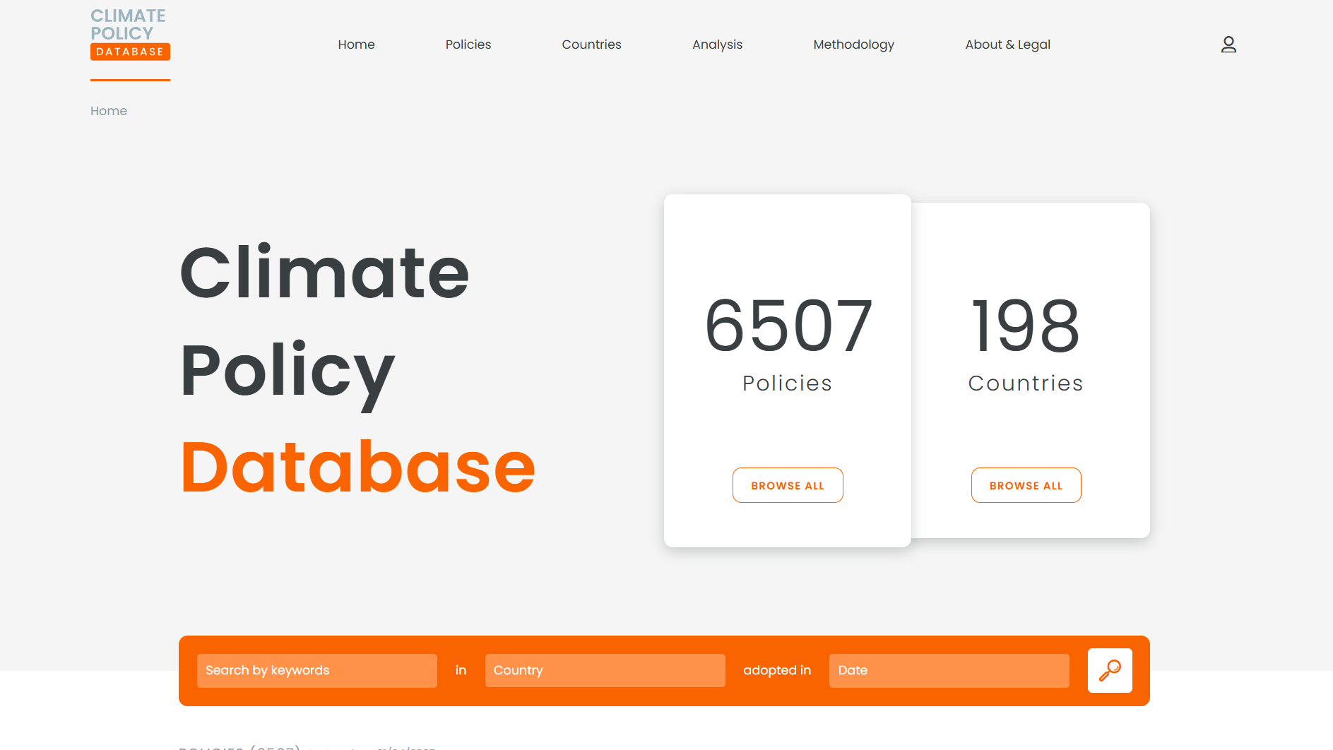
Climate Policy Database
The Climate Policy Database (CPDB) is an open, collaborative resource that compiles detailed information on climate-change mitigation policies worldwide. It categorises and tracks over 6,500 policies across nearly 200 countries, enabling comparison of policy adoption, identification of mitigation gaps, and support for climate-policy analysis.
World Database on Protected and Conserved Areas (WDPCA)
World Database on Protected and Conserved Areas (WDPCA): A global database maintained by UNEP‑WCMC (in partnership with IUCN and other bodies), combining terrestrial, inland-water, coastal and marine protected areas and other effective area-based conservation measures (OECMs).
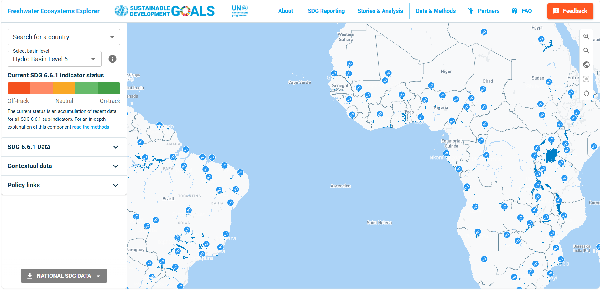
Freshwater ecosystem explorer
FreshExplorer is an interactive mapping tool that displays data on water, sanitation, and hygiene services globally, assisting policymakers and researchers to view coverage statistics, trends, and service gaps. The platform enables data exploration by country, service type, and time period, using Aus/UK spelling and grammar conventions.
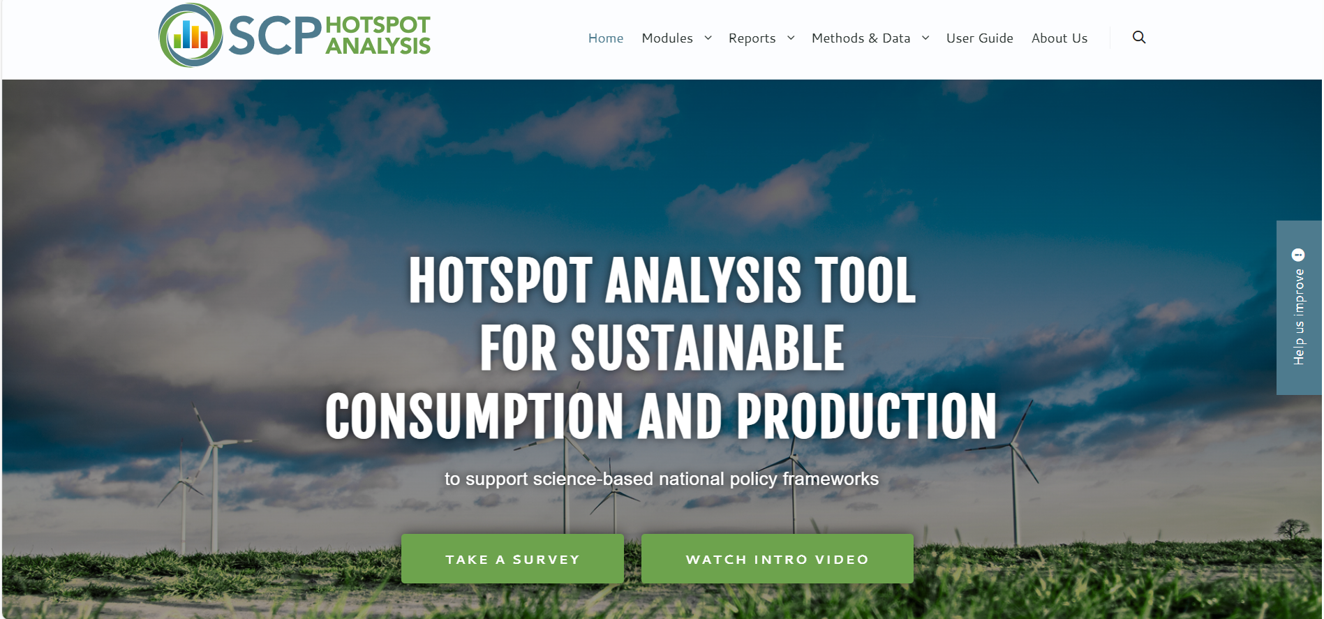
The Hotspot Analysis Tool for Sustainable Consumption and Production (SCP-HAT)
SCP-HAT (Sustainable Consumption and Production Hotspots Analysis Tool) is an online tool that maps national and sector-level “hotspots” of unsustainable production and consumption using input-output and lifecycle methodologies.
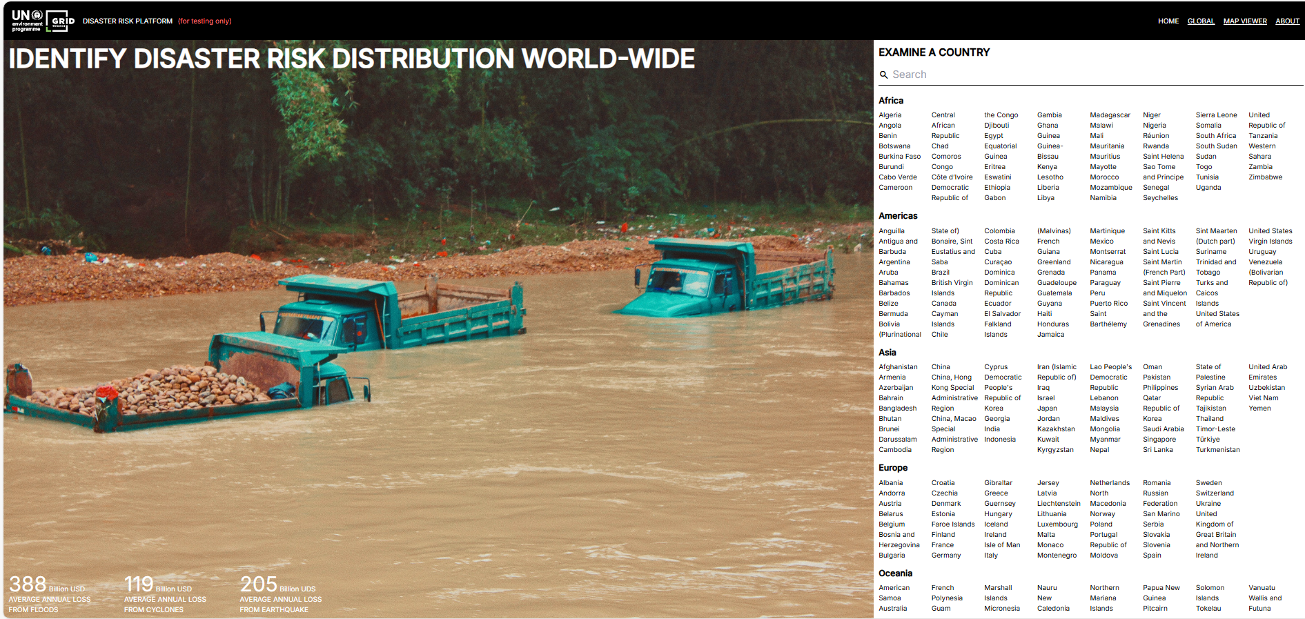
Disaster risk platform
The UNEP/GRID-Geneva Disaster Risk Platform offers an interactive global interface for analysing exposure, vulnerability and hazard data. It aids evidence-based decision-making by mapping natural risks and socio-economic factors, supporting resilient development and risk-informed finance.
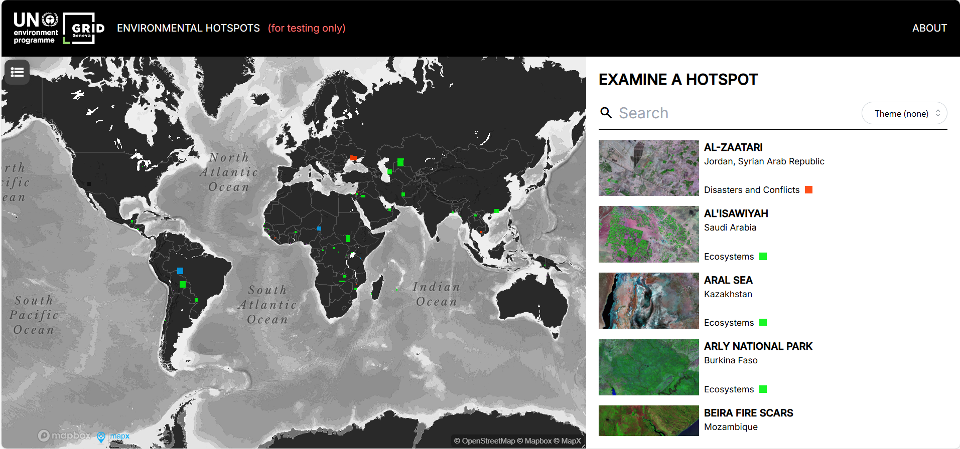
Environmental hotspots
The Environmental Hotspots tool by UNEP offers an interactive map of high-risk ecological zones worldwide, allowing users to explore environmental pressures across sectors (e.g. ecosystems, resource extraction).
InforMEA
InforMEA is a UN information portal giving central access to multilateral environmental agreements, including treaty texts, COP decisions, national reports, laws and court rulings. It also hosts a glossary, e-learning courses and tools linking MEAs to global goals.
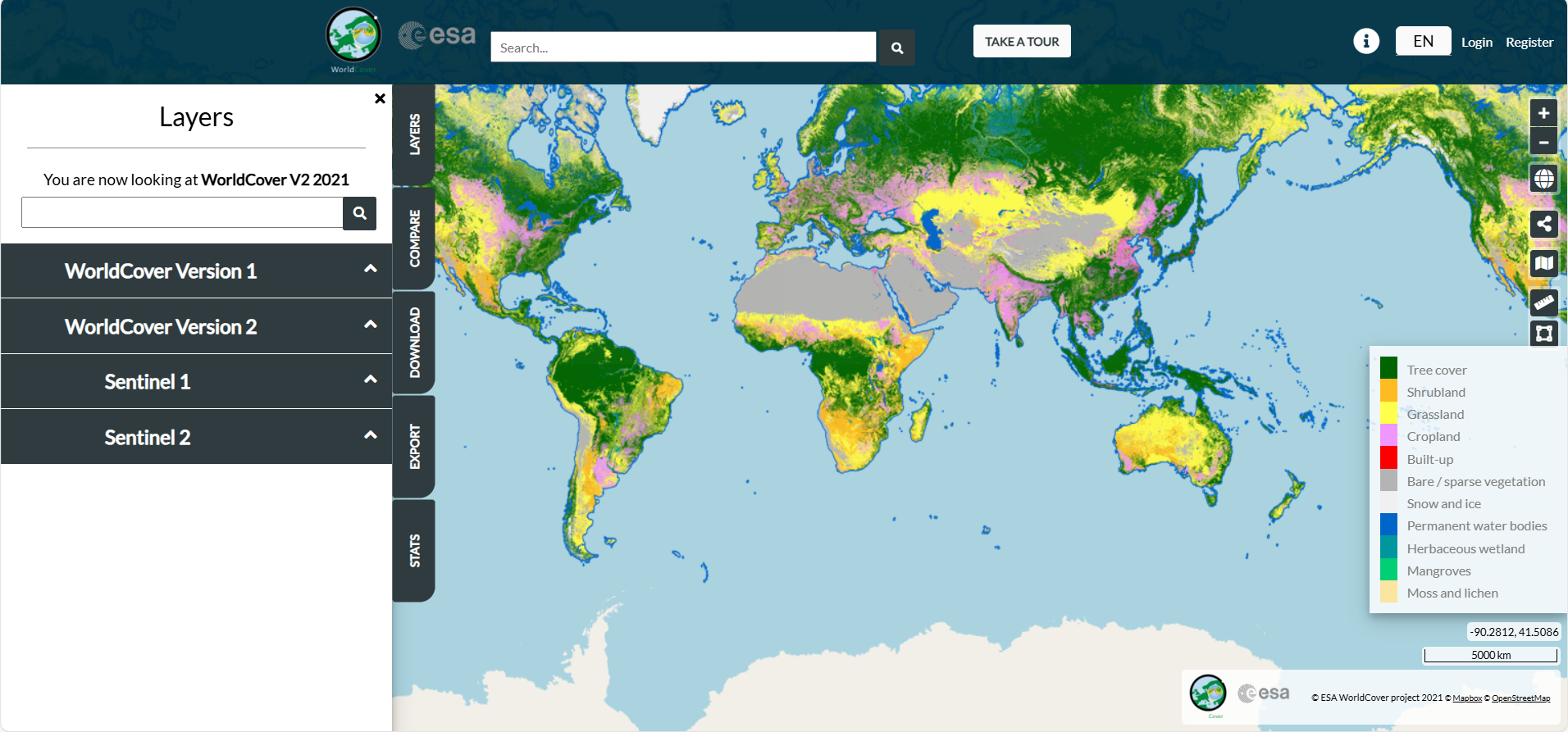
ESA WorldCover
The ESA WorldCover viewer offers an interactive web-map of global land cover at 10 m resolution, enabling overlay of Sentinel-1/2 composites, statistics by region, and download of data tiles, all without software installation.