Library | Location
Germany
Refine
170 results
REFINE
SHOW: 16


European Centre for Medium-Range Weather Forecasts (ECMWF)
European Centre for Medium-Range Weather Forecasts (ECMWF) is an independent intergovernmental organisation providing global numerical weather prediction and climate data. ECMWF supports forecasting, climate risk analysis, Copernicus services, research, and decision-making through high-resolution models, reanalysis datasets, and open scientific expertise.
International Sustainability Standards Board (ISSB)
International Sustainability Standards Board (ISSB) develops global sustainability disclosure standards for capital markets.Operating under IFRS Foundation, ISSB issues IFRS S1 and IFRS S2, supporting consistent, comparable ESG and climate reporting.Used by regulators, investors and companies to align sustainability information with financial reporting across jurisdictions worldwide and regulatory frameworks.
Tackling the insurance protection gap: Leveraging climate mitigation and nature to increase resilience
This white paper analyses how climate change and nature loss are widening insurance protection gaps in advanced economies. It outlines impacts on affordability and coverage, and recommends combining climate mitigation, nature-based solutions, and regulatory reforms to strengthen resilience and maintain insurability.
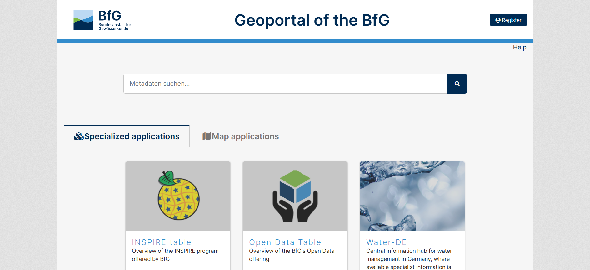
Geoportal of the BfG
The GGInA Geoportal is an online geospatial database operated by Federal Institute of Hydrology. It provides access to hydrological, waterway, and environmental spatial data for Germany, supporting analysis, research, and evidence-based decision-making through interactive maps and metadata services.
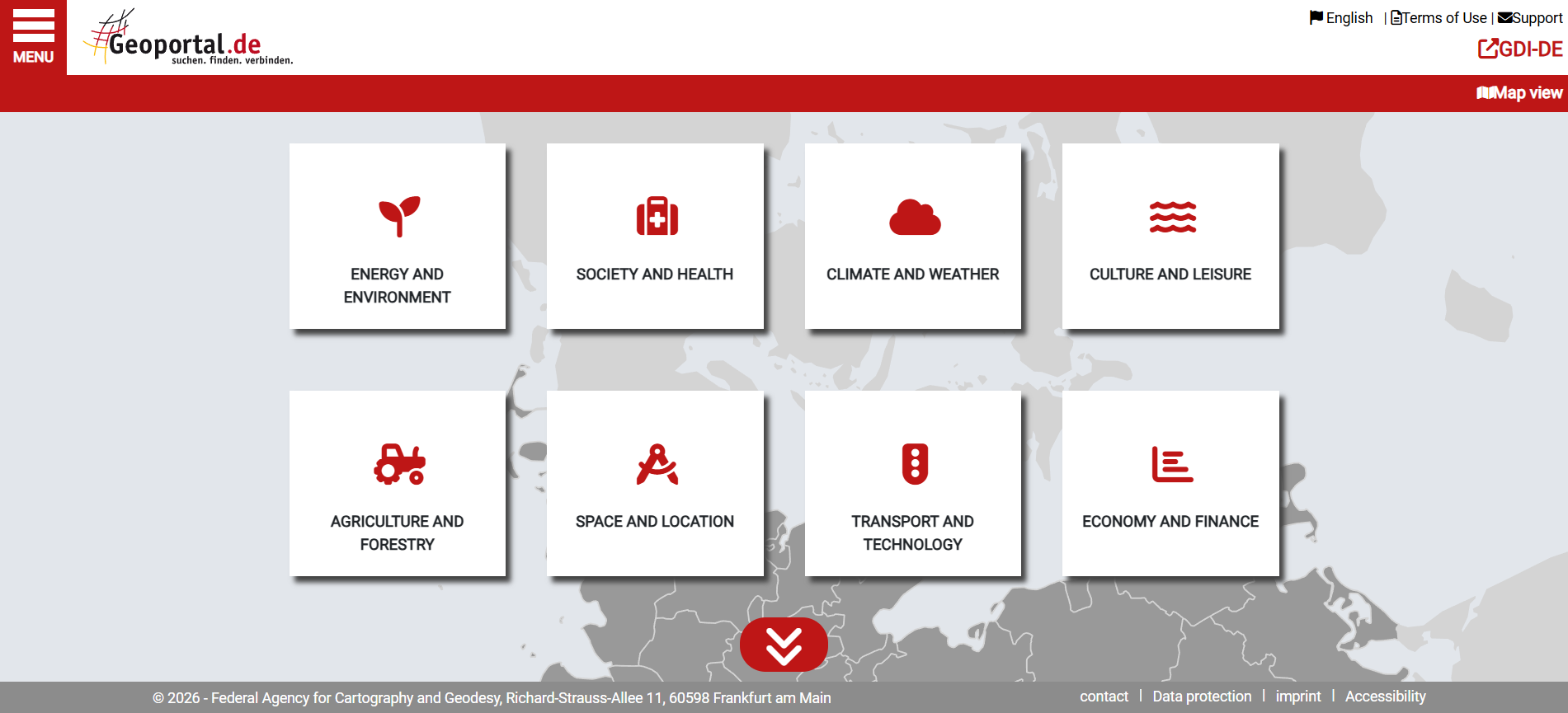
Geoportal.de
Geoportal.de is Germany’s national geospatial data portal, providing centralised access to official maps, datasets, and metadata from federal, state, and local authorities. It supports planning, environmental analysis, infrastructure development, and public-sector decision-making through standardised spatial data services.
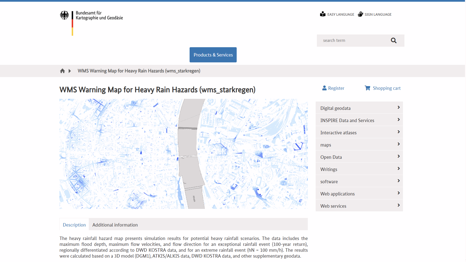
WMS Warning Map for Heavy Rain Hazards (WMS Hinweiskarte Starkregengefahren)
WMS Hinweiskarte Starkregengefahren is a German national Web Map Service showing simulated heavy-rain hazard data, including maximum inundation depths, flow velocities and directions for extreme rainfall scenarios. It supports GIS integration and helps outline potential surface flood risk areas nationwide.

The Federal Agency for Cartography and Geodesy (Bundesamt für Kartographie und Geodäsie)
Bundesamt für Kartographie und Geodäsie (BKG) is Germany’s federal authority for geodesy and cartography. It provides authoritative geospatial data, maps and spatial reference systems, supporting public administration, research and policy-making, including climate, infrastructure and digital geoinformation services at national and international levels.

Federal Institute of Hydrology (Bundesanstalt für Gewässerkunde)
Federal Institute of Hydrology (Bundesanstalt für Gewässerkunde) is Germany’s federal authority for hydrology and inland waterways. It provides scientific research, data, and expert advice on river basins, water quality, sediment, and climate impacts, supporting infrastructure planning, environmental protection, and evidence-based public policy and national water management decision-making across Germany.
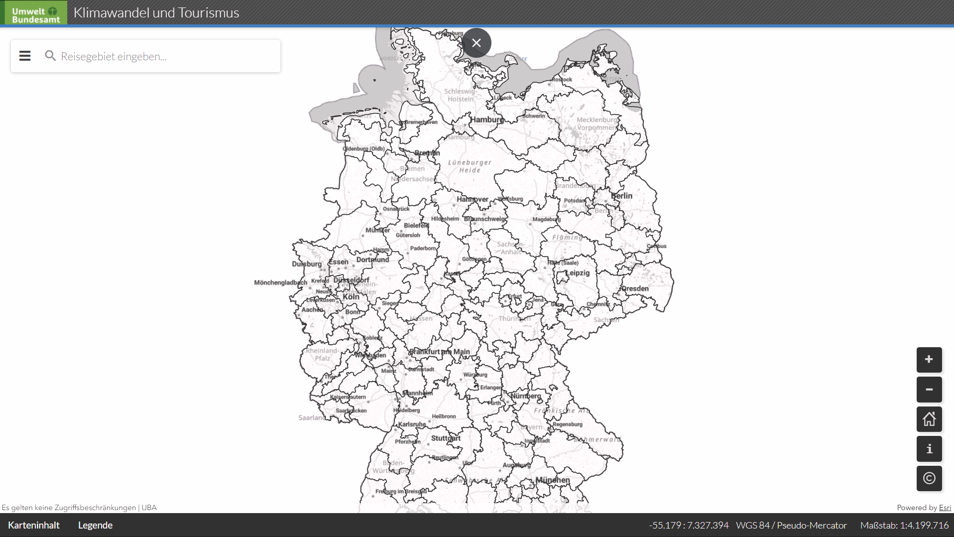
UBA: Climate change and tourism (UBA: Klimawandel und Toursimsu)
An interactive German Environment Agency (UBA) GIS tourism map showing climatic trends for key travel regions in Germany, including visualised climate data, tables and time series to support analysis of climate impacts on tourism. It aids environmental and regional planning by linking spatial data to tourism-related climate indicators
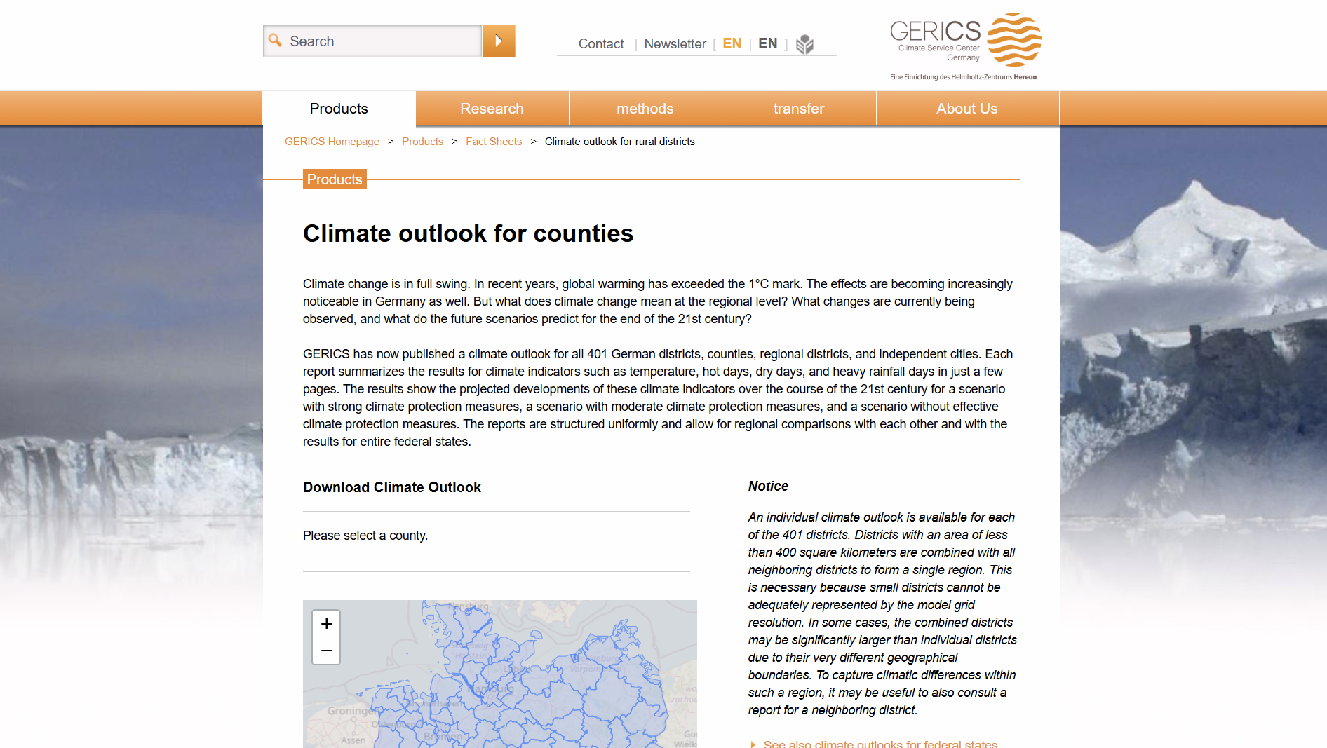
GERICS: Climate Service Center Germany
This tool provides climate impact fact sheets for German rural districts (Landkreise), developed by GERICS. It offers region-specific climate indicators, projections, and risks to support evidence-based decision-making, adaptation planning, and risk assessment relevant to public authorities and finance professionals.
German Environment Agency (Umweltbundesamt – UBA)
German Environment Agency (Umweltbundesamt – UBA) is Germany’s central federal environmental authority focused on environmental protection, climate change, air and water quality, chemicals and waste management. UBA conducts scientific research, offers policy advice, implements environmental laws and informs the public to support sustainable environmental outcomes.

GreenDelta
GreenDelta GmbH is an independent sustainability consulting, engineering and software development company specialising in life cycle assessment (LCA), sustainability data, research and tools. It develops internationally used sustainability software such as openLCA and delivers consulting, data services and project-based research to enterprises, institutes and policy clients.
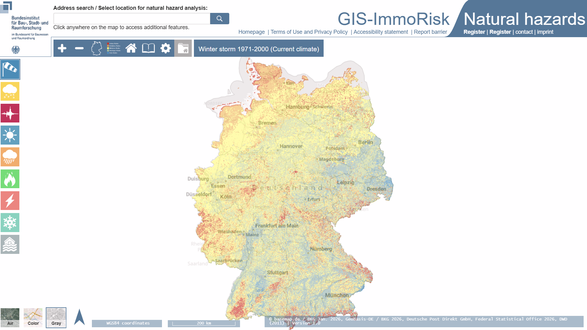
GIS-ImmoRisk Natural Hazard (GIS-ImmoRisk Naturgefahren)
GIS-ImmoRisk Naturgefahren is a German web-based GIS tool for assessing natural hazard exposure and property-specific risk from events such as floods, storms, heat and earthquakes. It combines location-based hazard data with building characteristics to inform risk analysis and investment decisions for real estate professionals.

Federal Office for Building and Regional Planning (Bundesamt für Bauwesen und Raumordnung)
Bundesinstitut für Bau-, Stadt- und Raumforschung (BBR) is a German federal research institute providing evidence-based analysis on building, housing, urban development, and spatial planning. BBR produces research, data, and policy advice supporting sustainable cities, regional development, infrastructure planning, and informed public decision-making across national and international policy contexts and programmes.
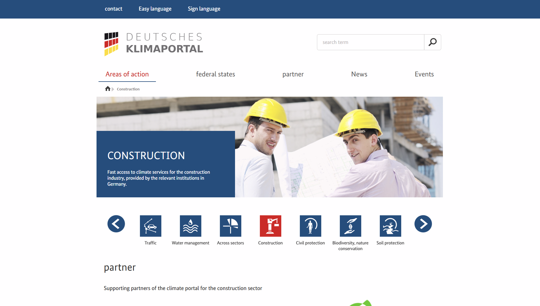
Deutsches Klimaportal
Deutsches Klimaportal’s Bauwesen section offers streamlined access to German climate services and data relevant to the built environment, drawn from national providers. It supports climate adaptation planning and decision-making for the construction sector with factual climate information and tools.
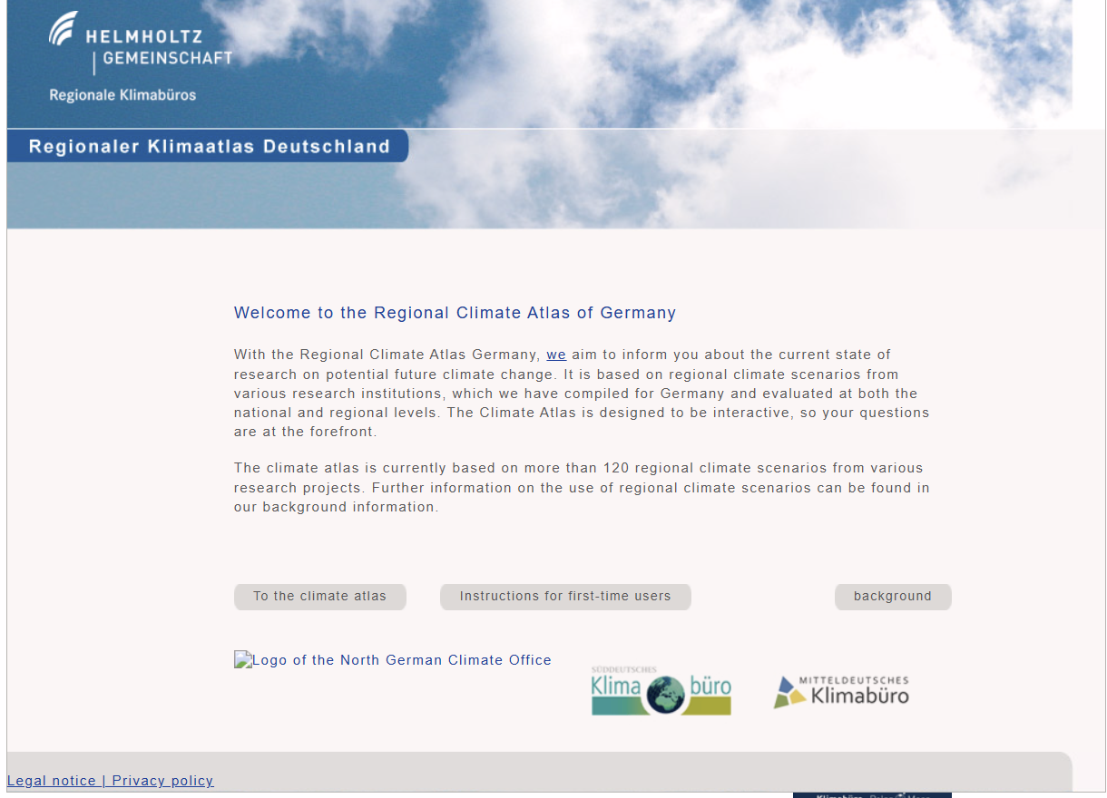
Regional Climate Atlas of Germany (Regionaler Klimaatlas Deutschland)
Regionaler Klimaatlas Deutschland is an interactive web tool presenting over 120 regional climate scenarios for Germany. It summarises research on future climate change, enabling users to view projected changes in climate elements such as temperature, precipitation and wind at national and regional levels.