Library | Location
Global
Refine
1206 results
REFINE
SHOW: 16

Sustainability-linked bond handbook
The Sustainability-Linked Bond Handbook provides a practical overview of sustainability-linked bonds, covering structure, pricing models and market dynamics. It combines financial analysis with sustainability considerations and includes over 40 case studies, offering guidance for investors and issuers on integrating these instruments into fixed income strategies.
Sectoral roadmaps as the backbone of transition planning: Linking NDCs, finance and the real economy
Sectoral roadmaps translate national climate targets into sector-specific decarbonisation pathways, guiding policy, investment and corporate transition plans. They align real-economy activity with finance, reduce uncertainty, and support risk assessment and capital allocation, strengthening the credibility and implementation of whole-economy transition planning.
GRI Standards
The GRI Standards are globally recognised sustainability reporting guidelines enabling organisations to disclose economic, environmental and social impacts in a consistent and comparable way. They support transparency, accountability and informed decision-making by helping organisations identify, measure and communicate material ESG impacts and contributions to sustainable development.
IFC's performance standards on environmental and social sustainability
The IFC Performance Standards (2012) form part of the Sustainability Framework, setting requirements for clients to identify, manage, and mitigate environmental and social risks in financed projects. They comprise eight standards covering areas such as labour, resource efficiency, biodiversity, and community impacts, and are widely used as a global benchmark for responsible investment.

Recharge for rights: Ranking the human rights due diligence reporting of leading electric vehicle makers
Amnesty International assesses 13 leading EV makers’ public reporting on human rights due diligence in battery mineral supply chains. It finds uneven progress since 2017, but no company demonstrates adequate alignment with international standards; Mercedes-Benz and Tesla lead, while BYD ranks last.
Voice of the asset owner: Survey 2025: Quantitative analysis
Global survey of 500+ asset owners finds rising ESG integration, stronger climate strategies, and support for standardised frameworks, alongside regional divergence, especially in the US. Geopolitical risks and regulation shape asset allocation, with some reallocating from US assets and increasing private market exposure.
Tipping points: Decision making under deep uncertainty
Examines climate tipping points and their implications for financial decision-making under deep uncertainty. It outlines risks of abrupt, nonlinear climate shifts, limitations of traditional valuation models, and emerging approaches including scenario analysis, resilience planning and climate intervention, emphasising challenges in pricing, timing and managing long-term systemic risks.
Implications of the International Court of Justice’s Advisory Opinion on Climate Change for directors’ duties in relation to climate-related risks
Examines how the ICJ’s climate advisory opinion may elevate climate-related risks and regulatory pressures, increasing directors’ duty of care. Highlights litigation, disclosure, and transition risks, particularly for emissions-intensive sectors, and emphasises informed decision-making and accurate reporting to mitigate liability.
State of the sector series
The State of the Sector is a series that provides annual analysis of the agricultural SME finance market, focusing on lending activity, market dynamics, and risk factors. It examines how financial institutions support small and medium-sized enterprises in agriculture and the broader ecosystem for sustainable and inclusive finance.
Oxford climate policy monitor: 2025 annual review
Assesses climate policies across 37 jurisdictions and six domains, finding overall strengthening despite political pressures, but slow implementation. Highlights rising policy leadership in developing regions and persistent gaps in ambition and execution relative to Paris Agreement targets.
Shareholder proposals: An essential investor right
The report argues shareholder proposals are a key investor right, enabling engagement on governance and ESG risks, improving corporate accountability and long-term value. It highlights regulatory frameworks, practical impacts across sectors, and emerging threats to this mechanism within US capital markets.
Sustainability at a crossroads
Survey of 844 experts finds the sustainability agenda at an inflection point, with most calling for major revision amid low confidence in progress and rising backlash. It highlights actionable levers across policy, finance, business, and civil society to drive a low-carbon, resilient transition.

ERM (Environmental Resources Management)
Environmental Resources Management (ERM) is a global sustainability consultancy providing environmental, social, risk and ESG advisory services. It supports organisations across industries to manage environmental impacts, meet regulatory requirements and accelerate sustainable transformation through climate strategy, impact assessments and sustainability reporting, helping improve performance and long-term resilience.

Advancing gender equality through gender lens investing
Examines gender lens investing as an approach integrating gender analysis into investment decisions to promote equality and returns. Outlines strategies, benefits, challenges, and case studies, linking to SDGs and emphasising measurement, engagement, and diverse investment practices.
Investing to reconnect financial value with people, nature and the real economy: An iterative blueprint for capital markets actors, policymakers and regulators
This report outlines a blueprint for reforming capital markets to better reflect human, social and natural capital. It proposes changes to fiduciary duty, financial analysis and policy frameworks to reduce systemic risks and align investment practices with long-term economic, environmental and social outcomes.
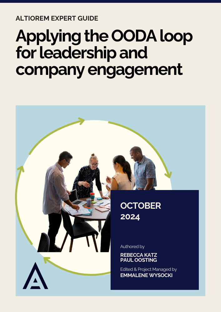
Applying the OODA loop for leadership and company engagement
This guide explains applying the OODA (Observe, Orient, Decide, Act) loop to strengthen strategic leadership and company engagement in sustainable finance, enabling adaptive decision-making, stakeholder alignment, and iterative responses to ESG challenges, illustrated through practical steps and a case study of corporate transition.