Library | ESG issues
Environmental
The environmental pillar in ESG (environmental, social, and governance) assesses an organisation’s impact on the planet. It includes issues such as climate change, biodiversity, waste management and water management. Strong environmental practices help businesses reduce risks, comply with regulations, and drive long-term sustainability.
Refine
1578 results
REFINE
SHOW: 16

Developing survey methods for collecting individual policy narratives: A case study of climate change narratives using an engaged convenience sample
This study tests open-ended survey methods for eliciting individual climate policy narratives using the Narrative Policy Framework. In a small, liberal US sample (n=88), problem-focused questions generated more complete narratives. Narrative elements varied by ideology, education and media use, supporting the ‘homo narrans’ assumption.
Nature-based risk assessment: Integrating project-related finance
Guidance from UNEP FI and the Equator Principles on integrating project-related finance into nature-based risk assessments. It outlines frameworks, governance and disclosure expectations to help financial institutions identify, assess and manage biodiversity, water and pollution-related risks at project and portfolio levels.
Advancing adaptation: Mapping costs from cooling to coastal defenses
This McKinsey Global Institute report assesses current and projected costs of adapting to heat, drought, flooding and wildfires under a 2°C warming scenario. It estimates $190 billion is spent annually today, rising to $1.2 trillion by 2050 for developed-economy protection standards, with benefits outweighing costs.

Future energy scenarios: Pathways to Net Zero
Future Energy Scenarios 2025 provides independent pathways for Great Britain’s energy system to reach net zero by 2050. It models demand, supply, flexibility and emissions across electricity, gas and hydrogen, assessing costs, infrastructure needs, carbon budgets and policy choices under varying levels of electrification, hydrogen deployment and consumer engagement.
Coal 2025: Analysis and forecast to 2030
This report analyses global coal supply, demand, trade and prices to 2030. It assesses regional consumption trends across power and industry, production outlooks for major exporters, policy and decarbonisation impacts, and market risks. Forecasts highlight shifting Asian demand, plateauing global use, and implications for investment and energy security.
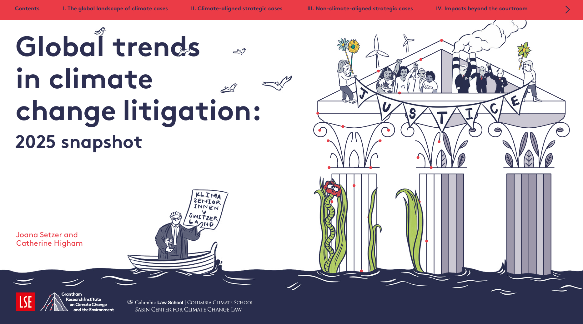
Global trends in climate change litigation series
This series reviews global developments in climate change litigation, tracking case numbers, jurisdictions, claimant and defendant trends, and evolving legal strategies. Drawing on international litigation databases, it analyses patterns in claims against governments and corporations, highlighting emerging themes in climate governance, accountability and legal risk.
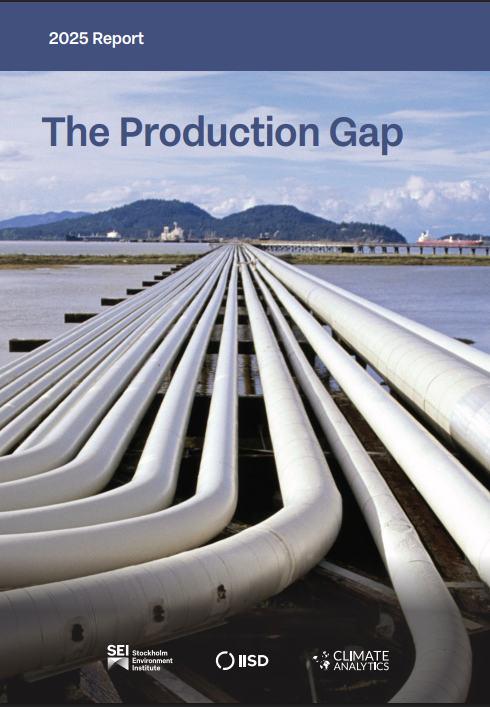
The production gap series
This benchmark series examines the gap between governments’ planned fossil fuel production and pathways consistent with international climate goals. It assesses alignment with temperature limits by reviewing national production plans and policy signals, providing a consistent framework to track progress and comparability across editions.
Sustainable finance progress tracker series
This benchmark series provides an annual, independent assessment of progress in implementing Australia’s sustainable finance roadmap and action plan. It tracks policy, regulatory, market and institutional developments, offering a consistent framework to monitor how the financial system is aligning with sustainability objectives over time.
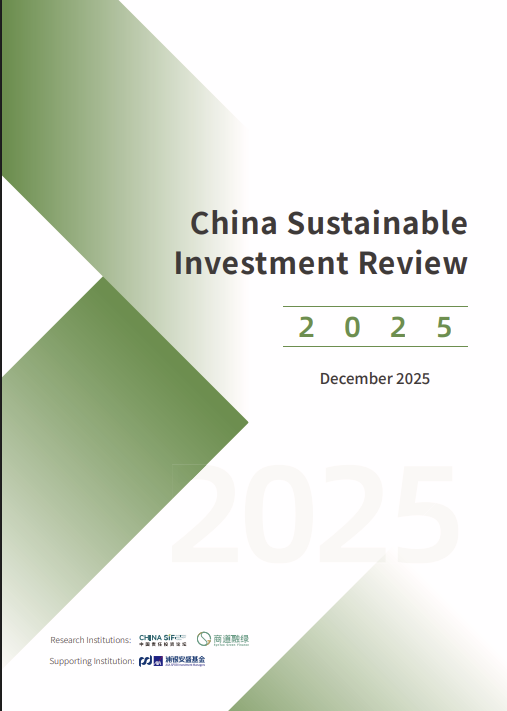
China sustainable investment review series
The China Sustainable Investment Review is a recurring research series that provides a structured overview of the development of China’s sustainable investment market. It examines policy evolution, market practices, product types, and ESG integration across financial institutions using publicly available information.
The MSCI sustainability institute net-zero tracker series
The MSCI Sustainability Institute Net-Zero Tracker is a periodic benchmark series that monitors how listed companies align with global climate goals. It provides a consistent framework for assessing emissions pathways, transition readiness, disclosure practices and climate-related investment context across markets and sectors.
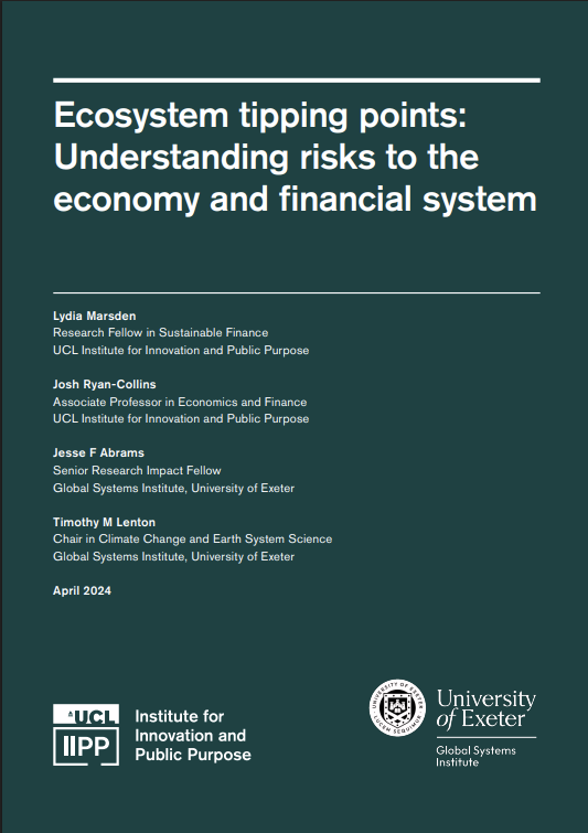
Ecosystem tipping points: Understanding the risks to the economy and the financial system
This report analyses ecosystem tipping points as systemic risks to economies and financial systems, highlighting non-linear, irreversible ecosystem collapse. It finds current models underestimate impacts and urges precautionary, ecosystem-focused policy and financial regulation to protect price and financial stability.
Unblocking climate and biodiversity finance: Global public investment for global missions
The report proposes integrating mission-oriented policy with Global Public Investment to unblock climate and biodiversity finance. It argues for predictable, equitable public funding, shared decision-making, reduced debt reliance, and reforms such as a Climate and Biodiversity Marshall Plan and redesigned debt-for-nature swaps.
Too-big-to-strand? Bond versus bank financing in the transition to a low-carbon economy
The paper shows bond markets price fossil fuel stranding risk, while syndicated bank loans do not. Firms substitute bonds with bank loans as climate policy risk rises, concentrating exposure in large banks and raising “too-big-to-strand” regulatory concerns.
Frozen gas, boiling planet: How bank and investor support for LNG is fueling a climate disaster
The report analyses bank and investor financing of LNG expansion, finding US$213 billion in bank support and US$252 billion in investor exposure since 2021. It concludes this financing drives overcapacity, climate risk and misalignment with 1.5 °C pathways.
IPBES-IPCC co-sponsored Workshop: Biodiversity and climate change
This IPBES–IPCC workshop report examines interlinkages between biodiversity, climate change and society, identifying synergies, trade-offs and risks. It assesses mitigation and adaptation impacts on ecosystems and people, and outlines integrated, nature-based solutions to inform climate and biodiversity policy and governance.
Climate change & the engagement gap: Why investors must do more than move the needle, and how they can
This report argues that climate change poses systemic risks to diversified portfolios and that conventional ESG engagement is insufficient. It proposes investor-led, enterprise-agnostic “guardrails” to limit greenhouse gas emissions, protect overall economic value, and complement inadequate regulation.