Library | SDGs
GOAL 13: Climate Action
Refine
815 results
REFINE
SHOW: 16

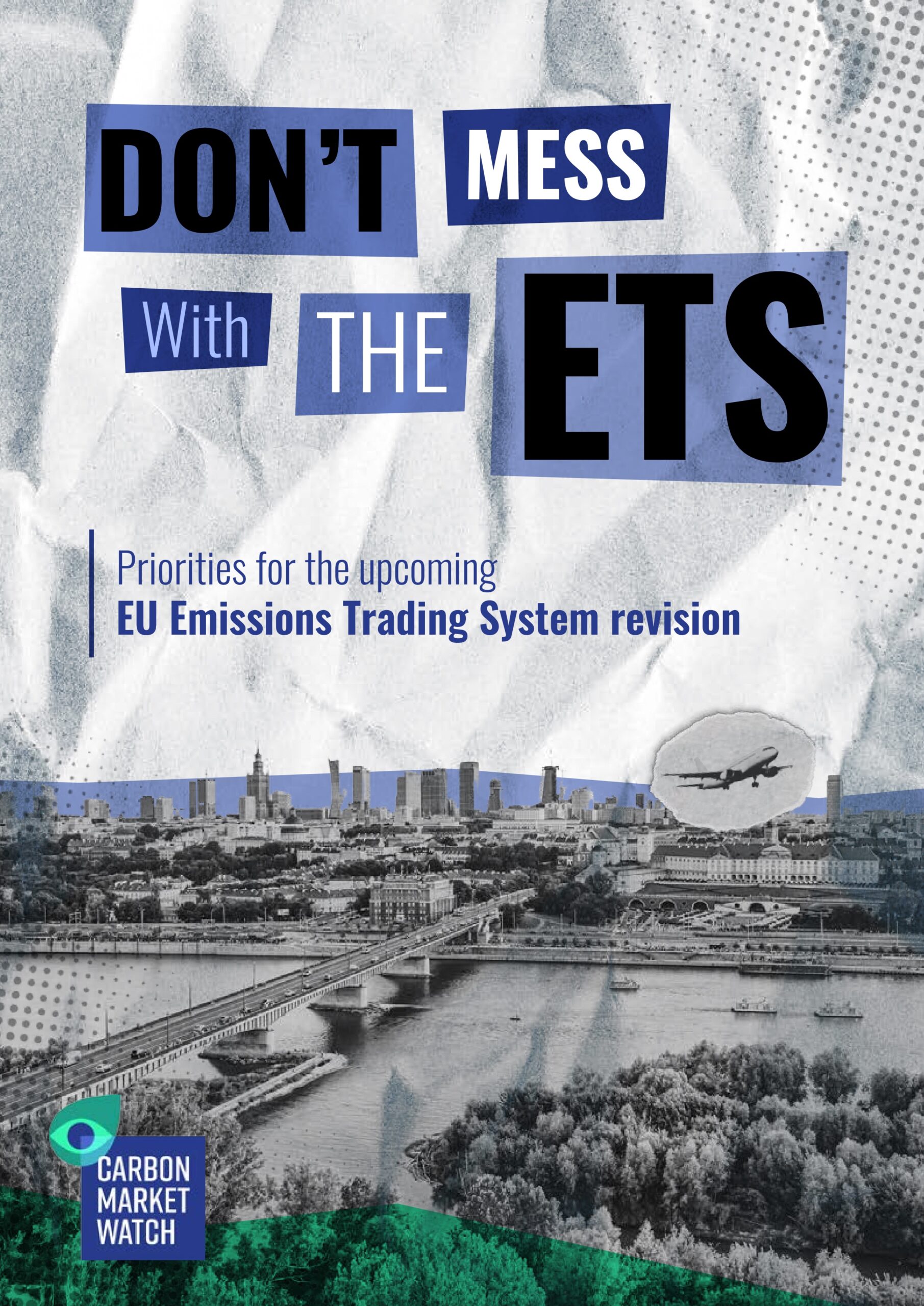
Don't mess with the ETS: Priorities for the upcoming EU emissions trading system revision
Carbon Market Watch presents a 10-point plan for improving the EU Emissions Trading System ahead of its upcoming revision. The report argues against weakening the cap, free allocation phase-out, or the Market Stability Reserve, and calls for expanded coverage of aviation, shipping, and biomass, alongside eliminating fossil fuel subsidies from ETS revenues.
IEA Methane Tracker Data Tool
The IEA Methane Tracker Data Tool provides interactive, country-level methane emissions data and enhanced policy tracking across the energy sector.
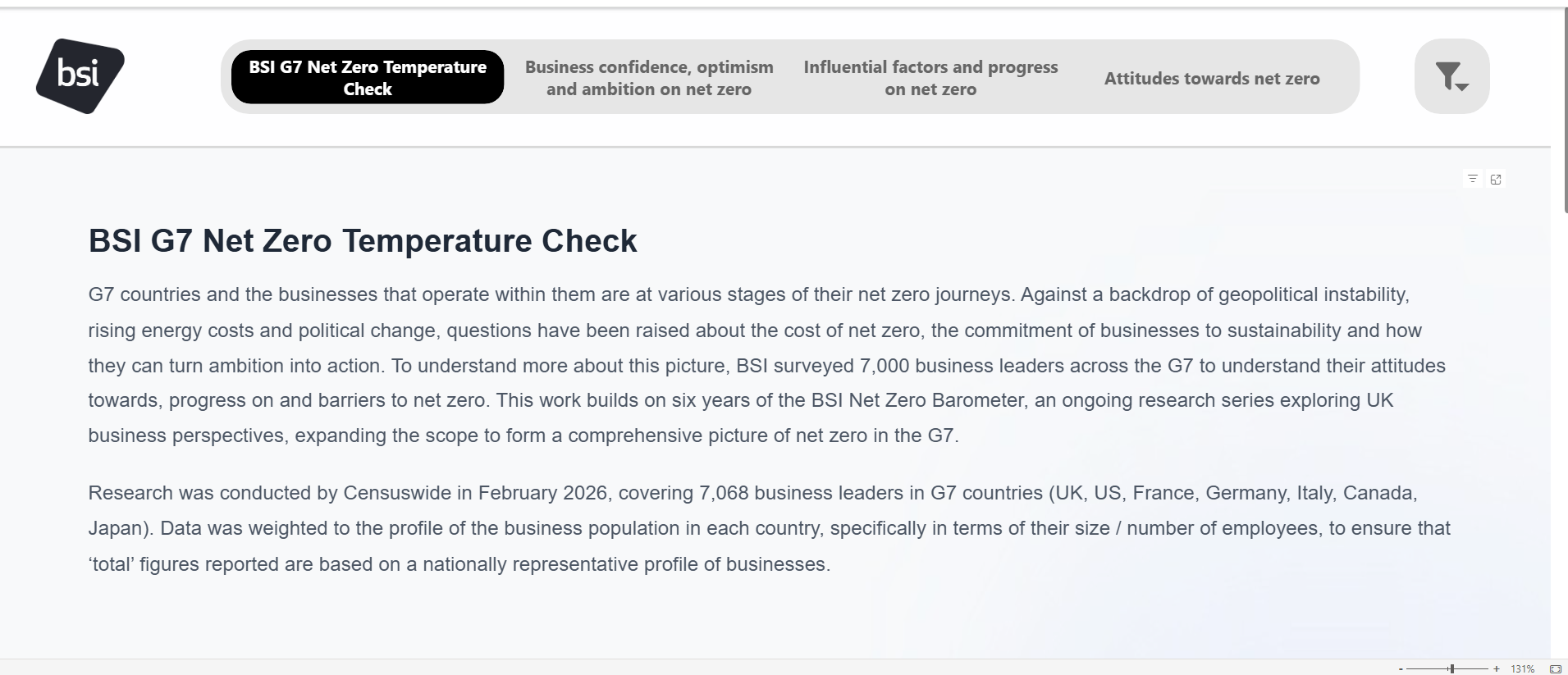
The G7 Net Zero Temperature Check
BSI's G7 Net Zero Temperature Check benchmarks corporate net zero progress across G7 nations, surveying over 7,000 business leaders on climate strategy and commitments.
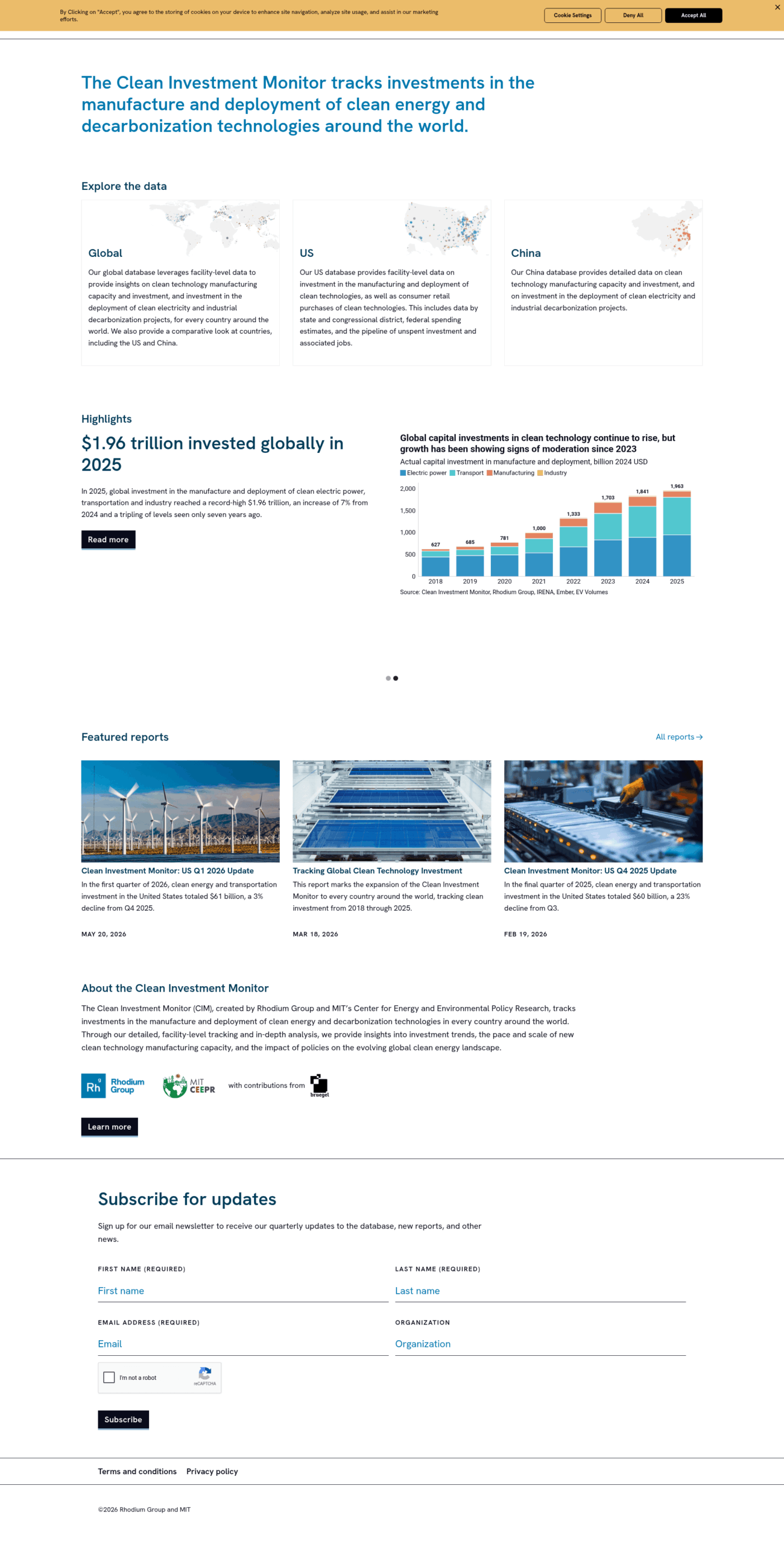
The Clean Investment Monitor
Tracks global investment in clean energy and decarbonisation technologies using facility-level data, covering the US, China, and all countries worldwide.
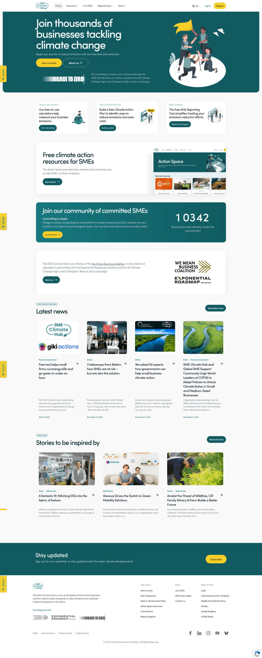
SME Climate Hub
Free platform helping SMEs measure emissions, build climate action plans, and report progress toward net zero by 2050.
PowerPulse: India Corporate Dashboard
An IEEFA dashboard assessing the financial, operational, and energy transition progress of listed power sector companies in India every quarter.
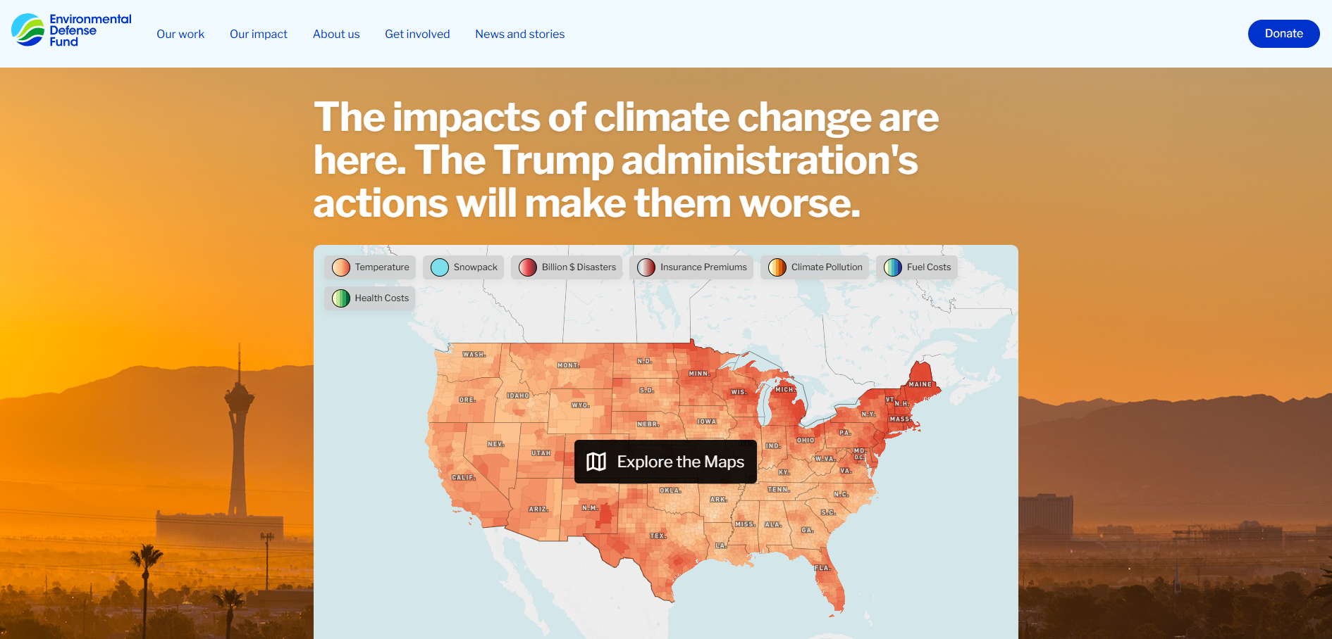
Trump climate endangerment stories
This interactive mapping tool from the Environmental Defense Fund (EDF) combines climate data and community stories to show how climate change is affecting temperatures, water resources, disaster losses, insurance costs and public health across the United States. It also illustrates the projected impacts of changes to federal climate pollution regulations.
National climate change risk assessment for Aotearoa New Zealand series
This benchmark series provides a comprehensive evaluation of climate change risks across Aotearoa New Zealand. It assesses vulnerabilities within the natural environment, built infrastructure, economy, society, and governance frameworks. The series serves as a critical resource for guiding long-term adaptation planning, resilient investment, and strategic policy development.
The progress report: Climate risk reporting in the U.S. insurance sector series
This benchmark series assesses the quality and comprehensiveness of climate risk reporting by U.S. insurance companies against the Task Force on Climate-related Financial Disclosures (TCFD) framework. It tracks industry-wide reporting practices, disclosure maturity, governance, strategy, risk management, and metrics over time to evaluate progress in climate-related financial risk disclosure.
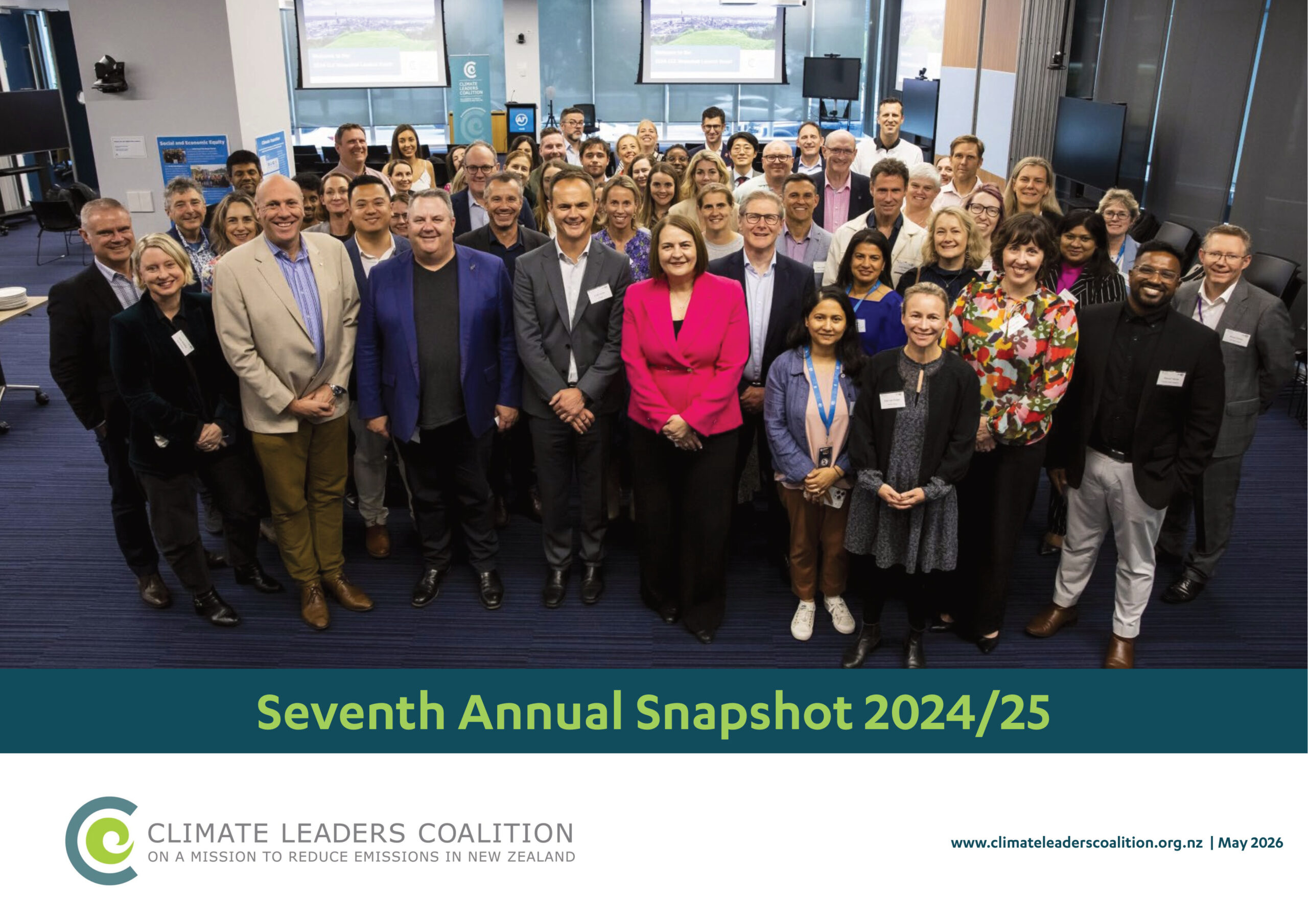
Annual snapshot series
This benchmark series provides annual snapshots of the Climate Leaders Coalition, tracking how New Zealand businesses are progressing on climate action. It outlines signatories’ commitments, emissions management, climate risk and resilience efforts, collaboration initiatives, and leadership activities supporting the transition to a low-emissions economy.
Navigating global risks in the Pacific 2026
A Pacific-focused commentary drawing on the World Economic Forum's Global Risks Report 2026, examining how geopolitical fragmentation, digital transformation, climate volatility and workforce pressures are reshaping operating environments across Australia, New Zealand and the broader Pacific region.
A guide to the New Zealand emissions trading scheme: 2026 update: Design, evolution, and current state
This guide outlines the design, evolution, and current state of the New Zealand Emissions Trading Scheme as of March 2026. It covers sectoral coverage, unit supply, price controls, free allocation, forestry, and emissions trends, including recent legislative changes to agricultural obligations and the 2050 biogenic methane target.
Boom and bust coal series
The Boom and Bust series is an annual research series that tracks the global coal plant pipeline using data from the Global Coal Plant Tracker. It examines trends in coal power development, construction, commissioning, retirements and policy developments across countries and regions, providing an overview of changes in the global coal sector.
State of the Sovereign Transition 2025
The State of the Sovereign Transition 2025 assesses 85 countries on climate targets, policies and finance using the ASCOR framework. Most have set net zero targets, but near-term ambition and transparency remain inadequate. Progress is concentrated in low- and middle-income countries, while the US has seen significant policy retreat.
Voice without influence? Global investor voting rationale disclosures in Korea
This study examines whether global institutional investors’ voting rationale disclosures influence Korean firms’ gender diversity and climate-related policies. It finds stronger investor focus on board gender diversity than climate risk, limited influence on large firms, greater impact on smaller firms’ emissions reductions, and evidence that voting rationales affect the credibility of sustainability reporting.
Beyond net zero: The rise of transition plans and what they tell investors
This Sustainable Fitch report examines the rise of corporate transition plans, driven by regulatory requirements and investor demand. It reviews six mainstream transition planning frameworks, finding alignment on core principles but variation in detail, and analyses around 40 entities, revealing strong Scope 1 and 2 targets but patchy Scope 3 commitments and limited transition revenue.