Library | Asset Class
Other Real Assets
Tangible assets with intrinsic value beyond financial instruments, e.g., timberland, farmland, or natural resources.
Refine
113 results
REFINE
SHOW: 16

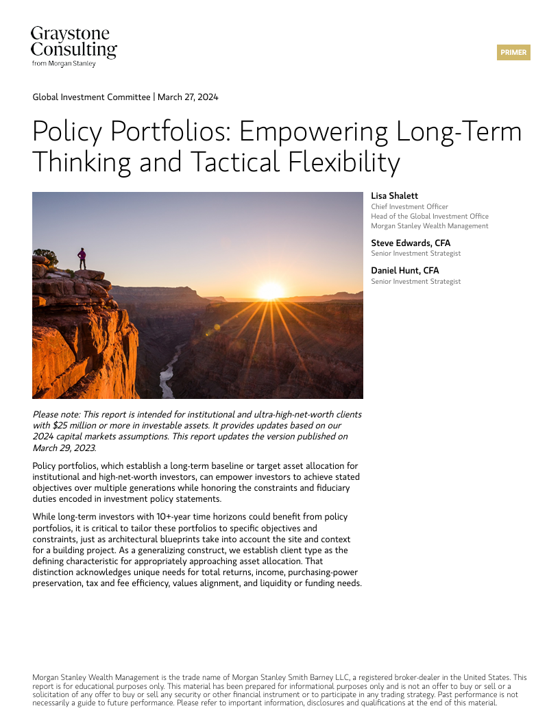
Policy portfolios: Empowering long-term thinking and tactical flexibility
This report summarises how policy portfolios support long-term, multigenerational investment planning by balancing strategic discipline with tactical flexibility. It presents model portfolios for institutional and ultra-high-net-worth clients, emphasising client-specific customisation, risk management, and the integration of long-term capital market assumptions to guide portfolio construction and decision-making.
EDHEC Climate Institute
EDHEC Climate Institute (ECI) equips finance professionals and decision-makers with climate risk research, tools and scenario analysis. It focuses on physical risks, transition risks, green assets, resilience technologies and climate policy. ECI bridges academia, industry and public stakeholders to support low-emission investment strategies.

Life Cycle Initiative
Life Cycle Initiative stewards global standards, tools and training for life-cycle assessment (LCA) and life-cycle thinking. It supports practitioners, policymakers and industry in applying LCA across plastics, textiles, tourism and construction. The initiative develops data networks, e-learning modules and hotspot analysis frameworks to advance sustainable decision making.
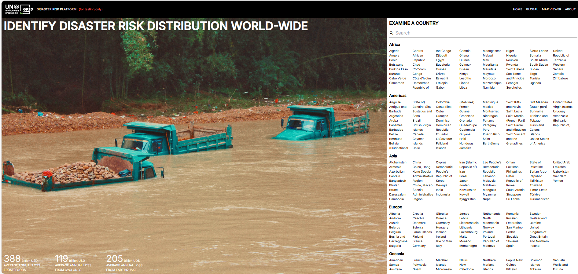
Disaster risk platform
The UNEP/GRID-Geneva Disaster Risk Platform offers an interactive global interface for analysing exposure, vulnerability and hazard data. It aids evidence-based decision-making by mapping natural risks and socio-economic factors, supporting resilient development and risk-informed finance.
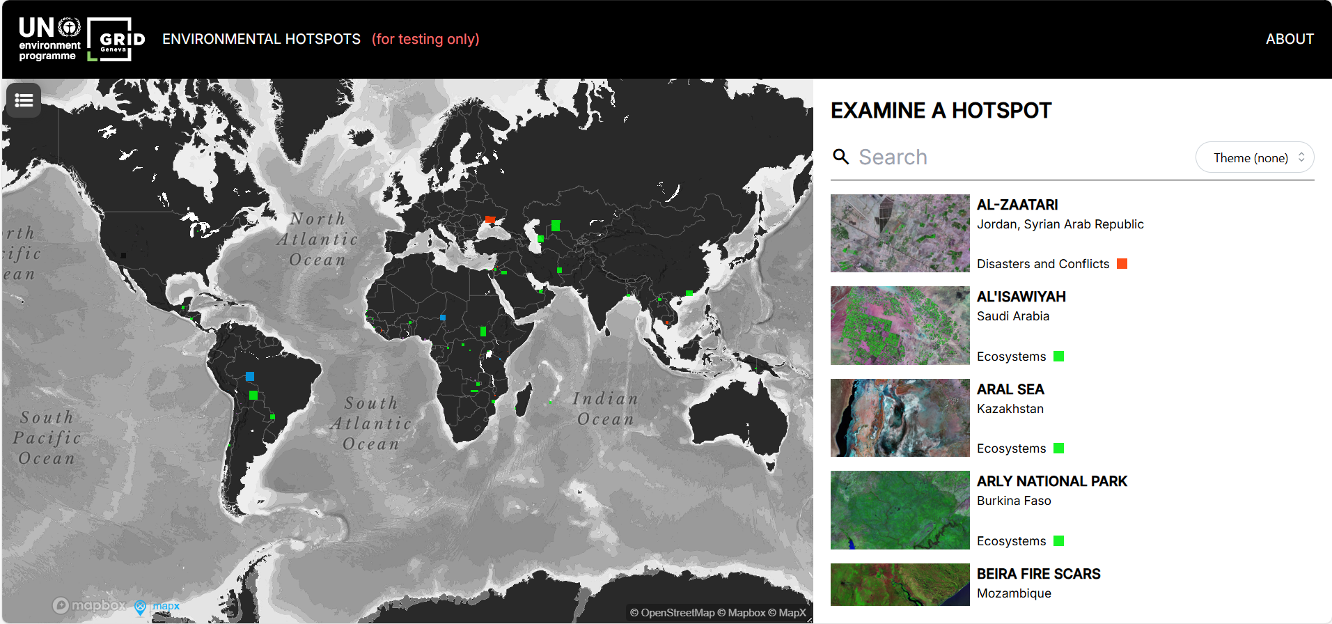
Environmental hotspots
The Environmental Hotspots tool by UNEP offers an interactive map of high-risk ecological zones worldwide, allowing users to explore environmental pressures across sectors (e.g. ecosystems, resource extraction).
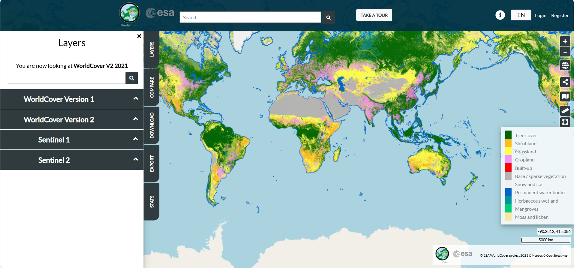
ESA WorldCover
The ESA WorldCover viewer offers an interactive web-map of global land cover at 10 m resolution, enabling overlay of Sentinel-1/2 composites, statistics by region, and download of data tiles, all without software installation.
WorldCover
WorldCover offers free, high-resolution global land cover maps at 10 m resolution for 2020 and 2021, via Sentinel-1 and Sentinel-2 data, under Creative Commons license. It supports environmental monitoring, climate research, land-use planning and biodiversity analysis.
Deutsche Rohstoffagentur (DERA)
German Mineral Resources Agency (DERA) is Germany’s national information and consultancy platform on mineral raw materials, hosted within the Federal Institute for Geosciences and Natural Resources (BGR).
DERA analyses global commodity markets, assesses supply-chain risks, and advises industry and government on raw material strategy and sustainable sourcing.
DERA analyses global commodity markets, assesses supply-chain risks, and advises industry and government on raw material strategy and sustainable sourcing.
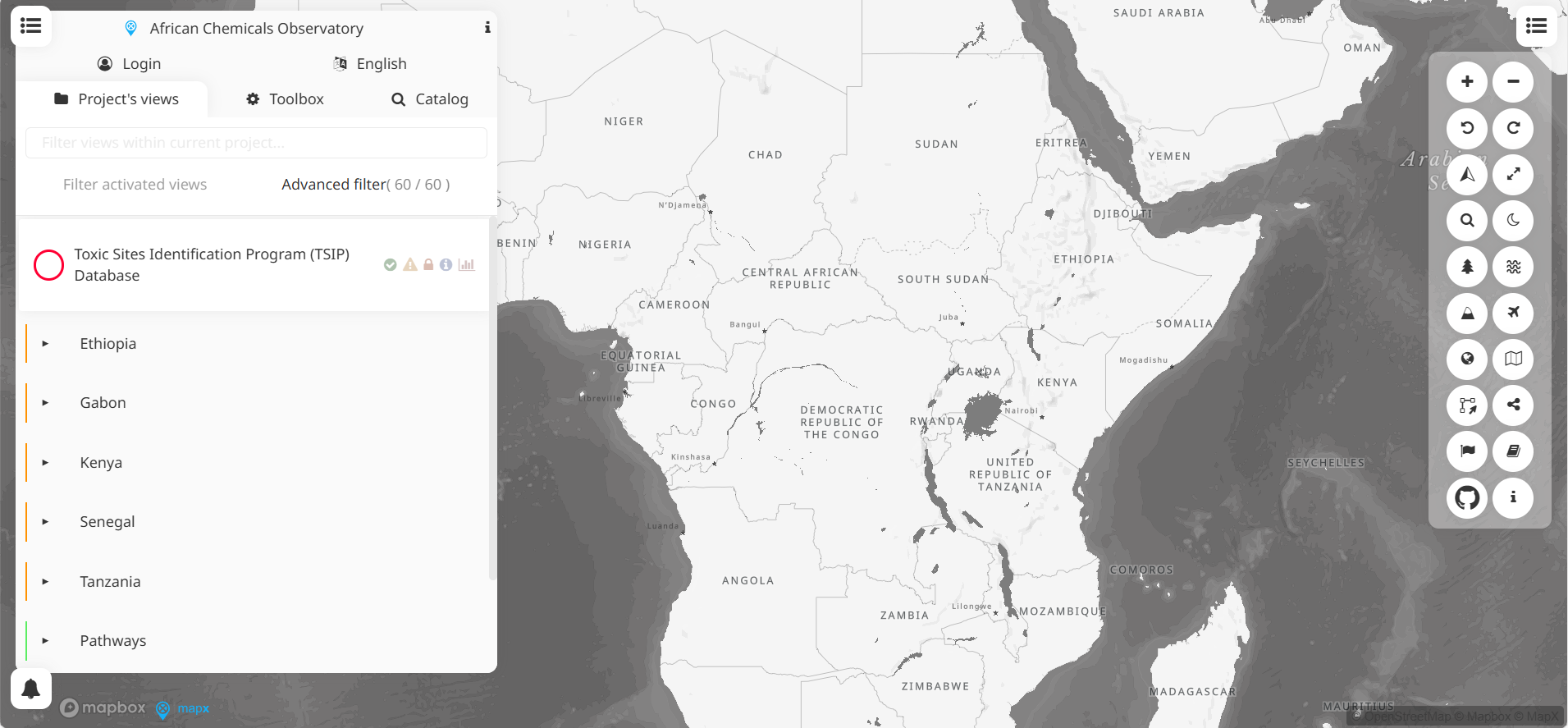
African chemical observatory
MapX is an open-source, cloud-based geospatial platform for visualising, analysing and managing environmental data. Developed by UNEP/GRID-Geneva, it supports decision-making in biodiversity, climate, land use and disaster risk, through map views, dashboards and storytelling tools.
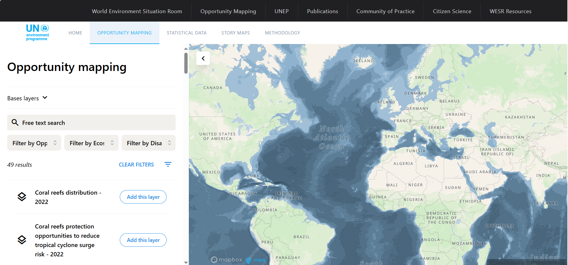
Opportunity mapping
The Opportunity Mapping tool by UNEP/GRID overlays global data on ecosystem distribution and human exposure to hazards, pinpointing areas where ecosystem protection or restoration may reduce disaster risk and protect the greatest number of people.
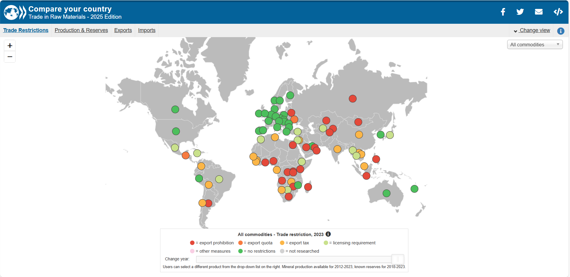
Compare your country: Trade in raw materials
This tool provides interactive visualisations and tabular data of country-level trade flows in raw materials (imports, exports, trends). It enables comparisons across years, commodities and nations, and cites metadata and definitions.
Federal Institute for Geosciences and Natural Resources (BGR)
Federal Institute for Geosciences and Natural Resources (BGR) is Germany’s national geological survey, advising the federal government on geoscience and raw materials. It undertakes research in earth sciences, resource management, geodata systems and sustainability. Located in Hannover, BGR coordinates national geoscientific data infrastructure and policy.
Climate finance
This report reviews research on climate finance, focusing on how climate risks affect financial markets. It discusses theoretical models and empirical evidence on pricing climate risk in equities, bonds, housing, and mortgages, and explores portfolio strategies for hedging. Future research directions in modelling, measurement, and financial stability are highlighted.

National Bureau of Economic Research (NBER)
National Bureau of Economic Research (NBER) is a US-based nonpartisan economic research organisation producing working papers, conferences, datasets and publications on macroeconomics, labour markets, health economics and public policy. It supports scholars and policymakers with in-depth empirical research.
Kroll
Kroll is a global financial and risk advisory firm offering services in valuation, investigations, cyber-resilience, regulatory compliance, transaction advisory, restructuring and business services.
With around 6,500 experts across 32 countries, Kroll helps clients build, protect and maximise enterprise value through data, technology and intelligence.
With around 6,500 experts across 32 countries, Kroll helps clients build, protect and maximise enterprise value through data, technology and intelligence.

IMPACT2C web-atlas
The IMPACT2C web‑atlas is an interactive, open‑access platform that visualises the projected impacts of a +2 °C global warming across Europe and key vulnerable regions. It presents harmonised, model‑based findings—via maps, texts, and storylines—across sectors such as climate, water, energy, health, agriculture and coasts.