Library | Sustainable Finance Practices
Issue/sector focused research
General research and analysis that provides deep dives and insights into specific sustainability issues or industry sectors, addressing the current status, trends, risks, and opportunities for the issue but not specifically addressing a finance or business audience.
Refine
540 results
REFINE
SHOW: 16

Global literature review and survey of implementation constraints on natural climate solutions
Global review and project survey of natural climate solutions across 137 countries finds implementation is constrained mainly by social-behavioural, knowledge, and government or organisational barriers, especially weak policy coordination and implementation capacity. Without targeted enabling measures, near-term mitigation will remain below biophysical potential.
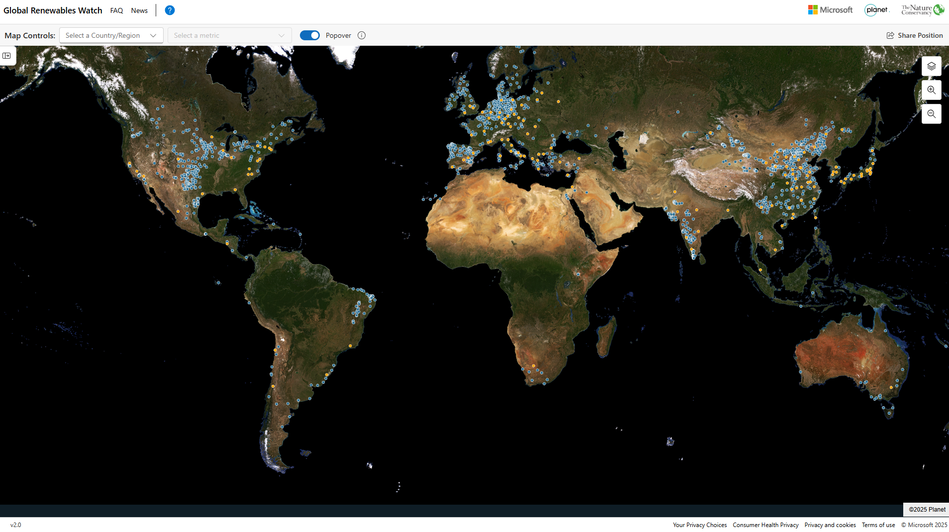
Global Renewables Watch
Global Renewables Watch Atlas is an interactive platform mapping utility-scale solar and wind installations worldwide using AI and satellite imagery. It provides regularly updated geospatial data to track deployment trends, estimate capacity, and assess progress in the energy transition, supporting analysis by policymakers, researchers, and finance professionals.
NGFS Phase 5 Scenario Explorer
Web-based platform by NGFS and IIASA providing access to climate scenario data. It enables users to visualise, compare and download time-series data on transition pathways, physical risks and macroeconomic impacts, supporting climate risk analysis, stress testing and financial modelling. Data can be accessed via workspaces, bulk downloads or APIs.
Communicating drought risk in a changing climate
Examines public perceptions of drought risk and provides evidence-based guidance for communicating climate-related drought in the UK. Emphasises audience values, narratives, trusted messengers, and linking local impacts to broader climate change to improve engagement and support for adaptation measures.
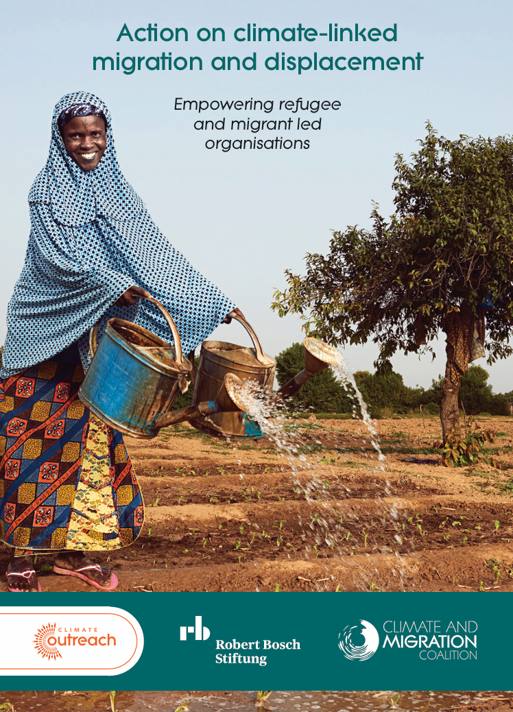
Action on climate-linked migration and displacement: Empowering refugee and migrant led organisations
Analyses climate-linked migration, highlighting impacts on displacement patterns and vulnerabilities. Evaluates roles, motivations and barriers for refugee- and migrant-led organisations, and proposes funding and policy interventions to strengthen their engagement in climate advocacy and support adaptive, rights-based responses.
Climate Outreach
Climate Outreach is a UK-based climate communication charity specialising in public engagement with climate change. It provides research, tools and training to help organisations develop effective climate narratives, reach diverse audiences and inspire action, supporting governments, businesses and NGOs to communicate climate issues in accessible, people-focused ways.

ARC Centre of Excellence for Climate Extremes
ARC Centre of Excellence for Climate Extremes (CLEX) is an Australian climate science research centre focused on understanding and predicting climate extremes. It produces research, reports and briefing notes on extreme weather, drought and climate risk, supporting policymakers and industry to assess impacts of climate change and improve resilience and forecasting capabilities.
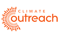
Nature-based solutions
This report explains nature-based solutions as ecosystem protection, restoration and management measures that can support climate mitigation, adaptation and biodiversity. It stresses their carbon-storage limits, vulnerability to disturbance, and the risk of overreliance in net-zero claims without deep emissions cuts.
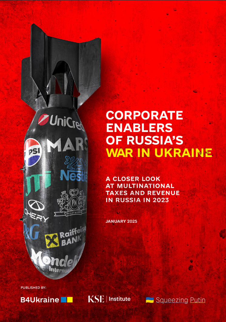
Corporate enablers of Russia’s war in Ukraine: A closer look at multinational taxes and revenue in Russia in 2023
Examines multinational companies’ revenues and taxes in Russia (2021–2023), showing continued corporate activity generated significant tax contributions supporting the Russian state. Highlights sectoral drivers, limited exits, and rising fiscal pressures, concluding that ongoing operations pose financial, legal, and human rights risks.
The circular economy: A 'triple play' solution for achieving China's climate objectives
The report argues that a circular economy can help China meet climate goals by cutting emissions in hard-to-abate sectors, securing critical materials for renewable energy, and improving climate resilience, while outlining policy actions on design, resource management, investment, measurement, and cross-sector collaboration.

Market assessment on critical minerals innovation in developing countries
This report assesses critical minerals innovation in developing countries, focusing on midstream processing and downstream manufacturing, recycling and end-of-life treatment. It reviews 30 countries, highlights policy and financing gaps, and recommends stronger infrastructure, coordination, technology transfer and support for innovation ecosystems.
Regulating finance for biodiversity: An assessment for the global biodiversity framework
This report assesses how financial regulation in Indonesia, Brazil, China, the EU and the US aligns with Global Biodiversity Framework targets, finding biodiversity integration generally weak and recommending stronger disclosure, due diligence, taxonomies, sanctions and sector-specific rules to redirect finance away from forest-risk activities.
The economics of water: Valuing the hydrological cycle as a global common good
The report argues the hydrological cycle should be governed as a global common good, with water valued more accurately and managed for efficiency, equity and environmental sustainability, supported by five missions spanning food systems, ecosystems, circular water use, lower water-intensity industry, and universal safe water access. The report is produced by the Global Commission on the Economics of Water, supported by the OECD.
The EAT-Lancet Commission on healthy, sustainable, and just food systems
This report assesses how transforming global food systems can improve health, sustainability, and equity. It updates evidence on the planetary health diet, quantifies food systems’ pressures on planetary boundaries, and analyses justice in food access and production, recommending coordinated policy, dietary shifts, and sustainable agricultural practices to support healthy diets within environmental limits.
Thriving workplaces: How employers can improve productivity and change lives
World Economic Forum report examining how employer investment in employee health and well-being improves productivity, retention and economic value. It analyses global workforce health data, identifies demographic disparities in burn-out and holistic health, and proposes measurement frameworks and organisational strategies to build healthier, more productive workplaces.
Production and externalities: How corporate governance shapes social costs
This working paper examines how corporate governance structures influence firms’ production decisions and associated negative externalities. Using a principal–agent model and empirical analysis, the authors show that costly managerial monitoring encourages performance-based pay, which can incentivise practices that increase socially costly production and broader social costs.