Overview
The WESR: Mediterranean tool is a MapX-based geospatial platform that presents spatial data on environmental stressors and ecosystem risks across the Mediterranean region. Its primary purpose is to support analysis of climate, biodiversity and resource-related pressures. Finance professionals may find it relevant for understanding location-specific environmental risks that can affect assets, portfolios and long-term investment outcomes.
Organisation behind the tool
The tool is developed and maintained by the United Nations Environment Programme (UNEP) through the MapX platform. It forms part of UNEP’s broader work on environmental data, risk assessment and decision-support, delivered in collaboration with regional and technical partners.
What the tool does
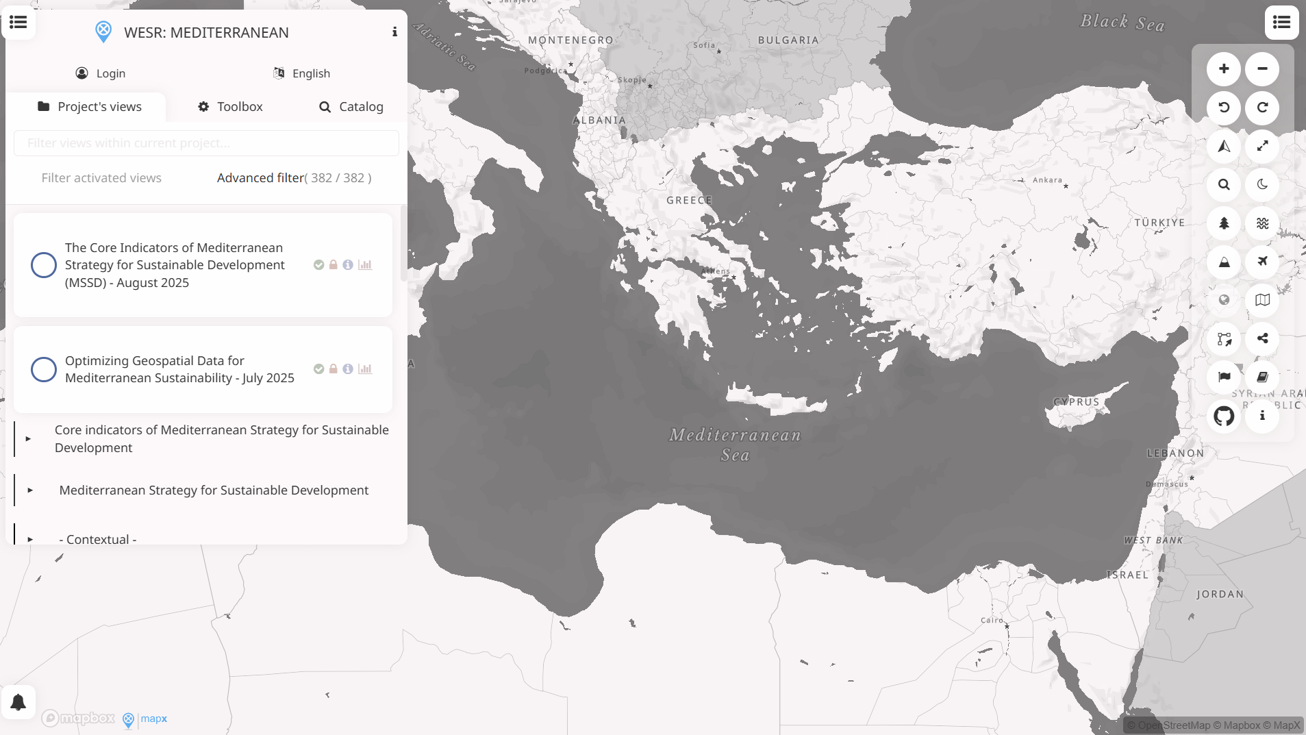
- Provides interactive geospatial maps focused on the Mediterranean region.
- Displays data on environmental stressors such as climate pressures, ecosystem vulnerability and resource constraints.
- Allows users to overlay multiple spatial layers to assess cumulative environmental risks.
- Supports visual exploration and basic spatial analysis through a web-based interface.
- Enables users to view, interpret and share map-based outputs relevant to regional environmental conditions.
Target audience
The primary audience includes policymakers, international organisations, and environmental practitioners working on Mediterranean environmental and sustainability issues. Secondary users include researchers, civil society organisations and private-sector users seeking regional environmental context.
Relevance to finance professionals
Risk assessment
- Supports identification of environmental and climate-related risks affecting Mediterranean-based assets and supply chains.
- Provides spatial context for exposure to ecosystem degradation and environmental stress.
ESG analysis
- Offers environmental data relevant to biodiversity, climate and natural resource considerations in ESG assessments.
- Can inform location-based environmental risk disclosures.
Market and commodity insights
- Relevant for sectors dependent on Mediterranean ecosystems, including agriculture, fisheries, water and coastal infrastructure.
- Helps contextualise environmental constraints that may affect regional economic activity.
Investment context
- Assists in understanding long-term environmental trends and regional vulnerabilities that may influence asset resilience and investment performance.