Overview
Geoportal.de is Germany’s central national spatial data portal, providing unified access to official geospatial data, maps, and service metadata from federal, state and local government sources. It supports the discovery and retrieval of authoritative geographic information through standardised services and interfaces. Finance professionals may find value in the portal’s environmental, infrastructure and hazard-related spatial datasets for risk and strategic analysis.
Organisation behind the tool
Geoportal.de is developed and maintained as part of the Spatial Data Infrastructure Germany (GDI-DE). It is coordinated by the Federal Agency for Cartography and Geodesy (Bundesamt für Kartographie und Geodäsie) with cooperation from federal and state government partners under national geodata governance structures.
What the tool does
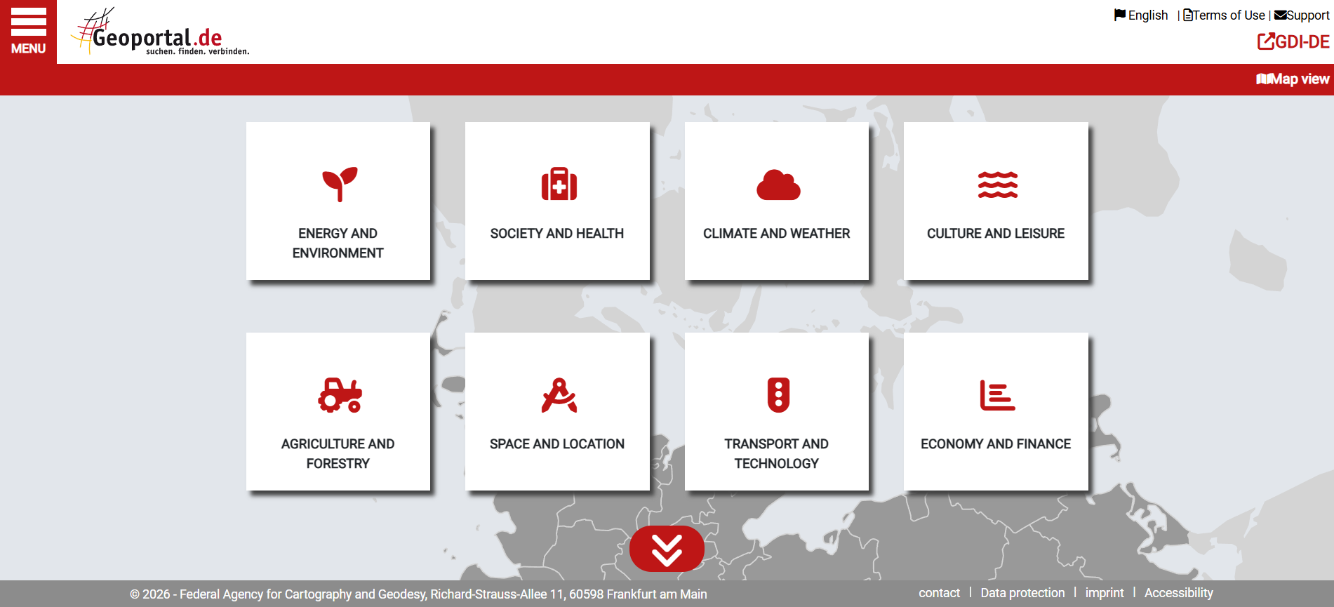
- Provides a central search and access point for geospatial datasets and services across Germany.
- Displays metadata describing spatial data from multiple public authorities.
- Offers web map services (WMS) and other standardised network services for data visualisation and retrieval.
- Facilitates thematic browsing of data, including environmental, climate, infrastructure and administrative datasets.
- Links to detailed regional and state geoportals where more granular data may be available.
Target audience
Primary users include spatial data professionals, GIS analysts, planners, researchers and public administration officials. Other users may include policymakers, environmental analysts and the general public seeking authoritative geospatial information.
Relevance to finance professionals
- Risk assessment – Supports analysis of exposure to natural hazards (floods, terrain risk) and environmental impacts through spatial hazard layers.
- ESG analysis – Enables integration of environmental and land-use data into sustainability reporting and environmental risk assessments.
- Market/commodity insights – Provides spatial context for sectors such as agriculture, water resources, transport and energy infrastructure planning.
- Investment context – Offers geodata that can inform long-term infrastructure investment, climate adaptation strategies and regional economic development considerations.