GIS-ImmoRisk Naturgefahren is an online geographic information system (GIS) based in Germany that assesses natural hazard exposure at specific property locations. It maps and quantifies risks from floods, storms, earthquakes and other events, offering property-level risk profiles. Finance professionals may use it for risk analysis, insurance and investment decisions.
Organisation behind the tool
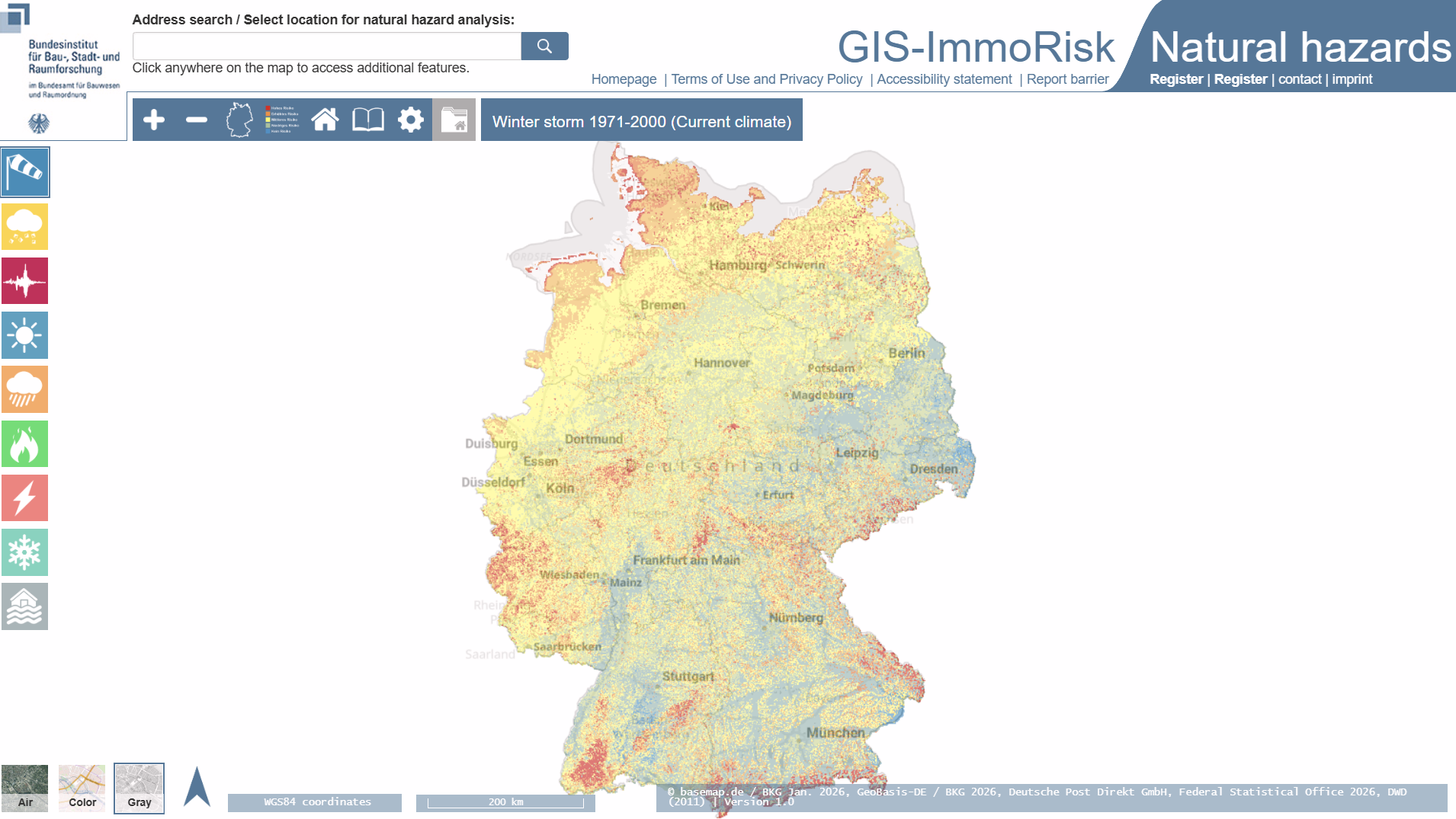
The tool is maintained under Germany’s Federal Office for Building and Regional Planning (Bundesinstitut für Bau-, Stadt- und Raumforschung) as part of the GIS-ImmoRisk suite of natural hazard risk services.
What the tool does
- Provides spatial analysis of natural hazard exposure for individual property locations.
- Offers multi-hazard risk mapping including floods, storms, earthquakes, landslides and other hazards.
- Generates property-specific risk profiles and rankings.
- Presents historical disaster data and frequency of events.
- Supports interactive GIS visualisation of hazard layers.
- Includes indicators relevant to insurance assessments.
- Allows users to focus on specific addresses or coordinates.
Target audience
The primary users are real estate owners, developers, buyers and managers. The tool is also relevant for insurance professionals, financial institutions and analysts assessing property-level environmental risk.
Relevance to finance professionals
- Risk assessment – Identifies exposure to natural hazards at specific property locations.
- ESG analysis – Provides environmental risk data that can inform sustainability and climate-related disclosures.
- Market/commodity insights – Supports assessment of climate-driven impacts on property markets and infrastructure assets.
- Investment context – Informs due diligence for property acquisitions, insurance underwriting and long-term risk-adjusted valuation.