Overview
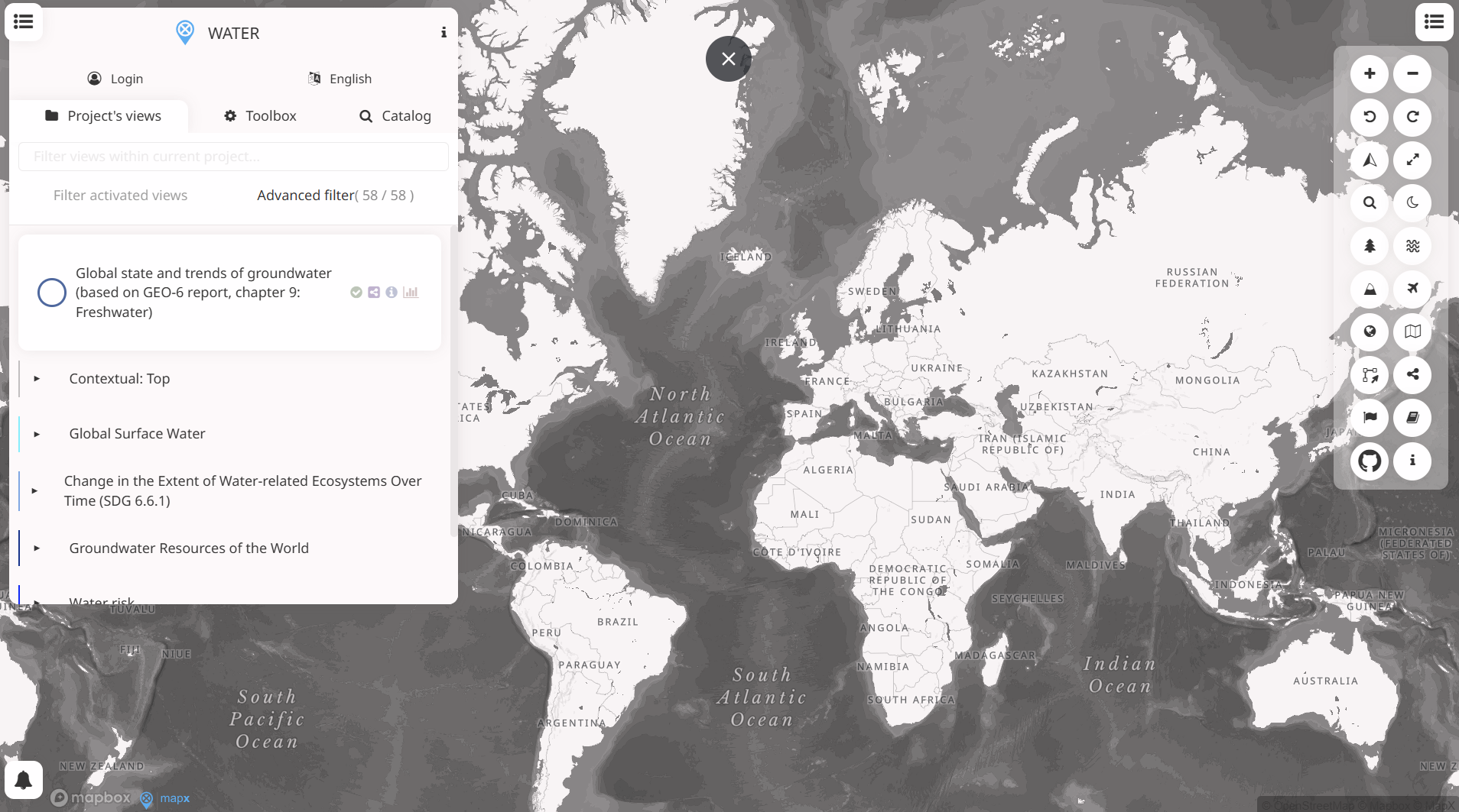
WESR – Water is a component of the World Environment Situation Room that provides global, spatially referenced information on freshwater resources and water-related pressures. It brings together environmental datasets to support analysis of water availability, stress, and trends. Finance professionals may find it relevant for assessing location-specific water risks linked to investments and portfolios.
Organisation behind the tool
The tool is developed and maintained by the United Nations Environment Programme as part of the World Environment Situation Room initiative, which aims to improve access to integrated environmental data for decision-making.
What the tool does
- Provides interactive maps and dashboards on freshwater availability and water stress.
- Enables users to explore spatial patterns at global and regional scales.
- Integrates multiple datasets related to surface water, groundwater, and water use pressures.
- Allows visual comparison across countries or basins to identify high-risk areas.
Target audience
The primary users are policymakers, environmental analysts, and international organisations. Secondary audiences include researchers, development institutions, and finance professionals seeking environmental risk data.
Relevance to finance professionals
- Risk assessment: Identifies regions exposed to water scarcity and water stress that may affect assets or operations.
- ESG analysis: Supports evaluation of water-related environmental risks relevant to disclosure and reporting.
- Market and infrastructure context: Informs analysis of water dependency in agriculture, energy, and industrial supply chains.
- Investment context: Provides long-term indicators useful for assessing structural water risks across geographies.