Library | ESG issues
Water Management
Sustainable water management ensures the availability and quality of water for current and future generations by balancing economic, social, and environmental needs. This approach involves efficient water use, protection of ecosystems, and equitable distribution, addressing challenges such as scarcity, pollution, and climate change impacts. Investors can work with companies to manage water responsibly by encouraging better water use, supporting efforts to protect ecosystems, and promoting practices that ensure water resources are used efficiently and sustainably.
Refine
171 results
REFINE
SHOW: 16

World Meteorological Organization (WMO)
World Meteorological Organization (WMO) is a United Nations specialised agency coordinating global cooperation on weather, climate, hydrology and related environmental services. WMO sets international standards, publishes authoritative climate and weather reports, supports early warning systems, and strengthens climate resilience, risk management and scientific data sharing worldwide, across governments and communities.
Institute of Public & Environmental Affairs (IPE)
Institute of Public & Environmental Affairs is a China-based environmental non-governmental organisation promoting pollution transparency and corporate accountability. It operates public databases on air, water and supply chain compliance, supporting ESG research, responsible investment, environmental risk analysis, and sustainability decision-making in China.
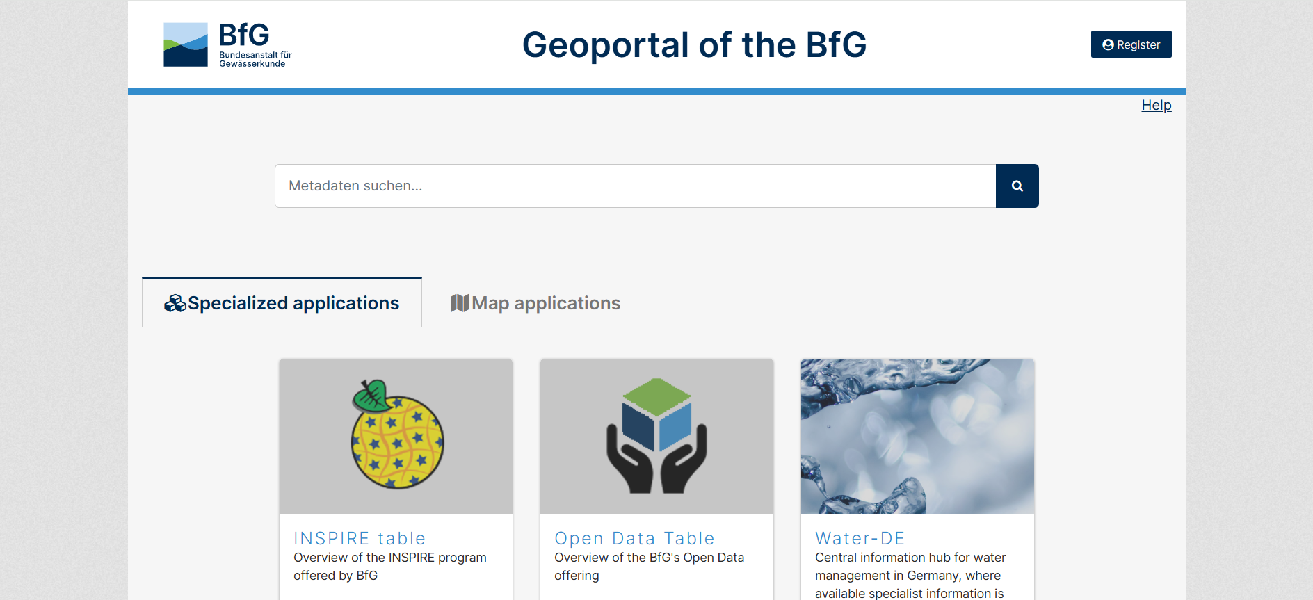
Geoportal of the BfG
The GGInA Geoportal is an online geospatial database operated by Federal Institute of Hydrology. It provides access to hydrological, waterway, and environmental spatial data for Germany, supporting analysis, research, and evidence-based decision-making through interactive maps and metadata services.
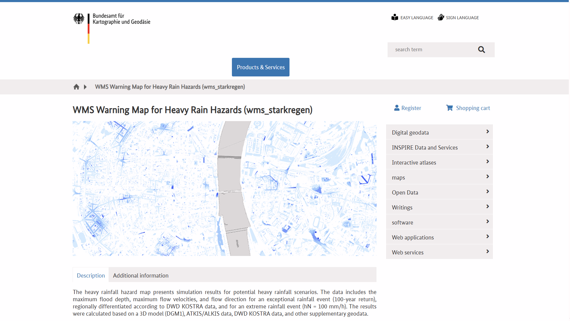
WMS Warning Map for Heavy Rain Hazards (WMS Hinweiskarte Starkregengefahren)
WMS Hinweiskarte Starkregengefahren is a German national Web Map Service showing simulated heavy-rain hazard data, including maximum inundation depths, flow velocities and directions for extreme rainfall scenarios. It supports GIS integration and helps outline potential surface flood risk areas nationwide.

Federal Institute of Hydrology (Bundesanstalt für Gewässerkunde)
Federal Institute of Hydrology (Bundesanstalt für Gewässerkunde) is Germany’s federal authority for hydrology and inland waterways. It provides scientific research, data, and expert advice on river basins, water quality, sediment, and climate impacts, supporting infrastructure planning, environmental protection, and evidence-based public policy and national water management decision-making across Germany.
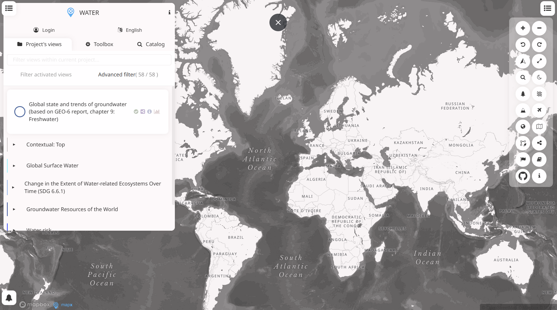
WESR: Water
WESR – Water provides geospatial insights on water availability, stress, and related risks. It supports location-based assessment of water-related exposure, enabling finance professionals to integrate water risk considerations into investment analysis, risk management, and sustainability decision-making.
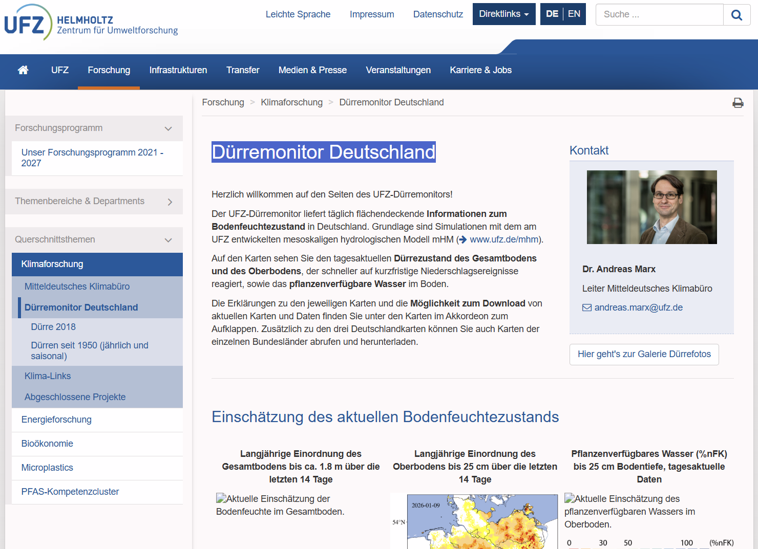
Drought Monitor Germany (Dürremonitor Deutschland)
The UFZ Drought Monitor provides daily, spatially resolved maps and downloadable data on soil moisture and drought conditions across Germany. It uses simulations from the mesoscale hydrological model (mHM) to indicate drought severity in topsoil and total soil profiles, supporting climate and water resource research.
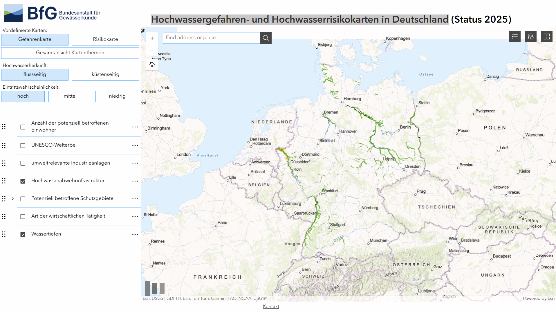
Flood hazard and flood risk maps in Germany (Hochwassergefahren- und Hochwasserrisikokarten in Deutschland)
A German Federal Institute of Hydrology geoportal showing current national flood hazard and risk maps, combining official flood extent, probability and risk layers for reporting under the EU Floods Directive. It supports spatial analysis and links to regional hazard data from responsible authorities.
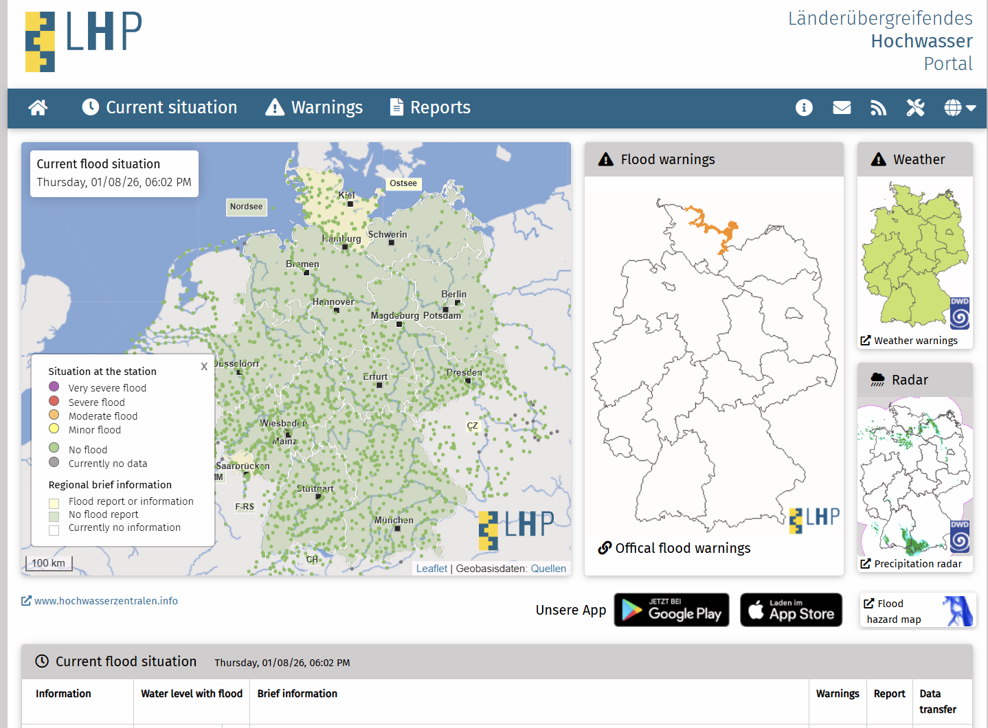
Cross-border flood portal (Länderübergreifendes Hochwasser Portal)
Länderübergreifendes Hochwasserportal (Hochwasserzentralen.de) provides up-to-date flood warnings, water levels and reports for Germany and adjacent regions. It aggregates official river gauge data and warning information from federal states, with links to local flood services and an API for developers.

Nature Enters the Boardroom: Why Directors Are Paying Attention
Drawing on Australia’s first national study of board-level engagement with nature, this article shows how directors are treating nature as a material governance and financial issue. It highlights how boards are extending climate governance systems to manage nature-related risks, adopt frameworks like TNFD, and build resilience and long-term value despite policy uncertainty.

CIMA Research Foundation
CIMA Research Foundation is a non-profit scientific organisation specialising in environmental monitoring, climate risk and disaster risk reduction. It develops forecasting models, early warning systems and applied research for civil protection, climate adaptation and resilience, working with governments, academia and international programmes across Europe and globally in multiple hazard domains.
Federal Institute of Hydrology, BfG (Bundesanstalt für Gewässerkunde)
Bundesanstalt für Gewässerkunde (Federal Institute of Hydrology, BfG) is a German federal government scientific authority conducting hydrology and waterway research.It provides data, analysis and technical advice on rivers, sediment, climate impacts and water management to support public policy, infrastructure planning and environmental decision-making.
UN SDG Portal
The United Nations SDGs platform (sdgs.un.org) is an online hub for the 2030 Agenda and 17 Sustainable Development Goals, offering goals, targets, indicators, events, publications and global actions to track and support SDG implementation. It also includes registries of voluntary commitments and multi-stakeholder partnerships.
Climate risk index series
The Climate Risk Index is an annual benchmark series that compares countries’ exposure and vulnerability to extreme weather events using a consistent, historical, data-driven framework. Across all editions, it supports comparative assessment of physical climate risk over time and informs policy, risk analysis, and climate-aware financial decision-making.
Growing resilience: Unlocking the potential of nature-based solutions for climate resilience in sub-Saharan Africa
The report assesses nature-based solutions for climate resilience in sub-Saharan Africa, reviewing nearly 300 projects. It finds growing adoption but insufficient scale, highlighting financing, policy, and capacity gaps, and recommends integrating NBS into infrastructure planning, diversifying funding, and strengthening social inclusion and local capability.
Nature-related risks and the duties of directors of Canadian corporations
This legal opinion examines whether nature-related risks are foreseeable and material for Canadian companies. It concludes directors must consider, manage and, where material, disclose such risks to meet fiduciary and care duties under Canadian corporate and securities law.