Library | Sustainable Finance Practices
ESG Integration and analysis
Tools, methodologies, and frameworks for embedding ESG factors into financial analysis, valuation, credit assessment, underwriting, and portfolio management, while separating out broader strategic elements.
Refine
537 results
REFINE
SHOW: 16

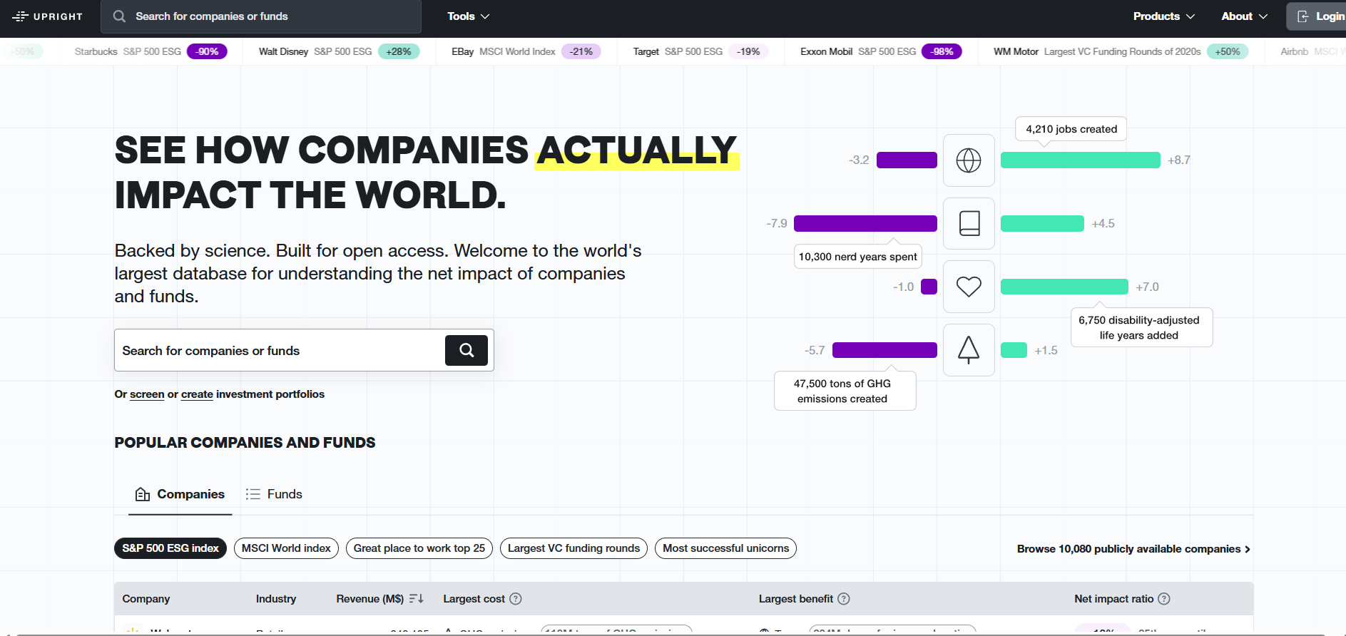
Upright Net Impact Model
Upright Platform offers impact-based ESG analytics that quantify companies’ positive and negative effects across environmental, social and economic dimensions. The S&P 500 ESG preset enables benchmarking of index constituents using monetised impact data to support portfolio analysis and comparability.
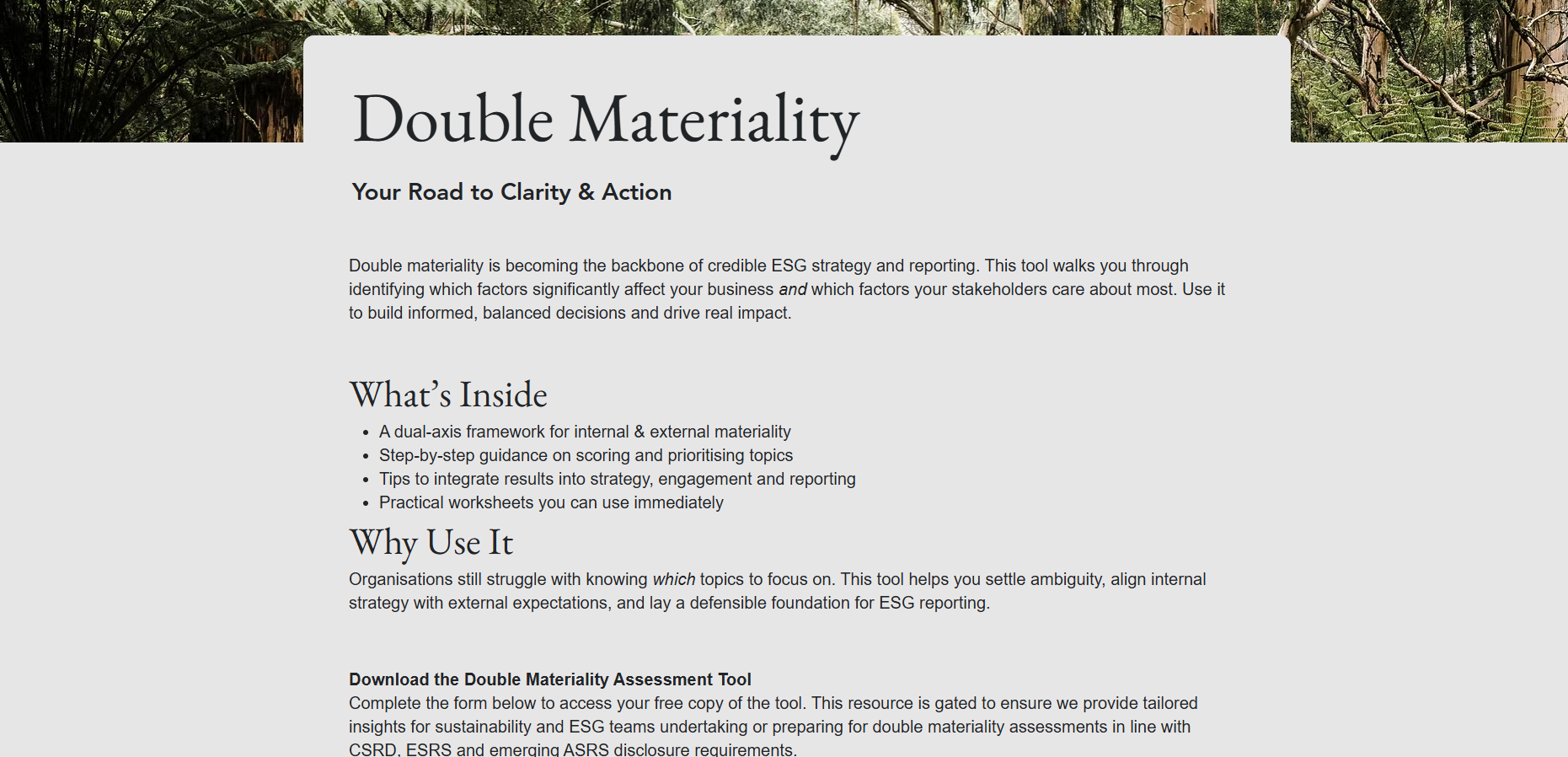
Double Materiality Assessment Tool
The Bloom Sustainability Double Materiality Tool supports CSRD-aligned assessments by identifying, scoring, and prioritising impact and financial risks and opportunities. It combines structured stakeholder input with quantitative scoring to document materiality outcomes and provide audit-ready outputs for sustainability and ESG reporting.

European Centre for Medium-Range Weather Forecasts (ECMWF)
European Centre for Medium-Range Weather Forecasts (ECMWF) is an independent intergovernmental organisation providing global numerical weather prediction and climate data. ECMWF supports forecasting, climate risk analysis, Copernicus services, research, and decision-making through high-resolution models, reanalysis datasets, and open scientific expertise.
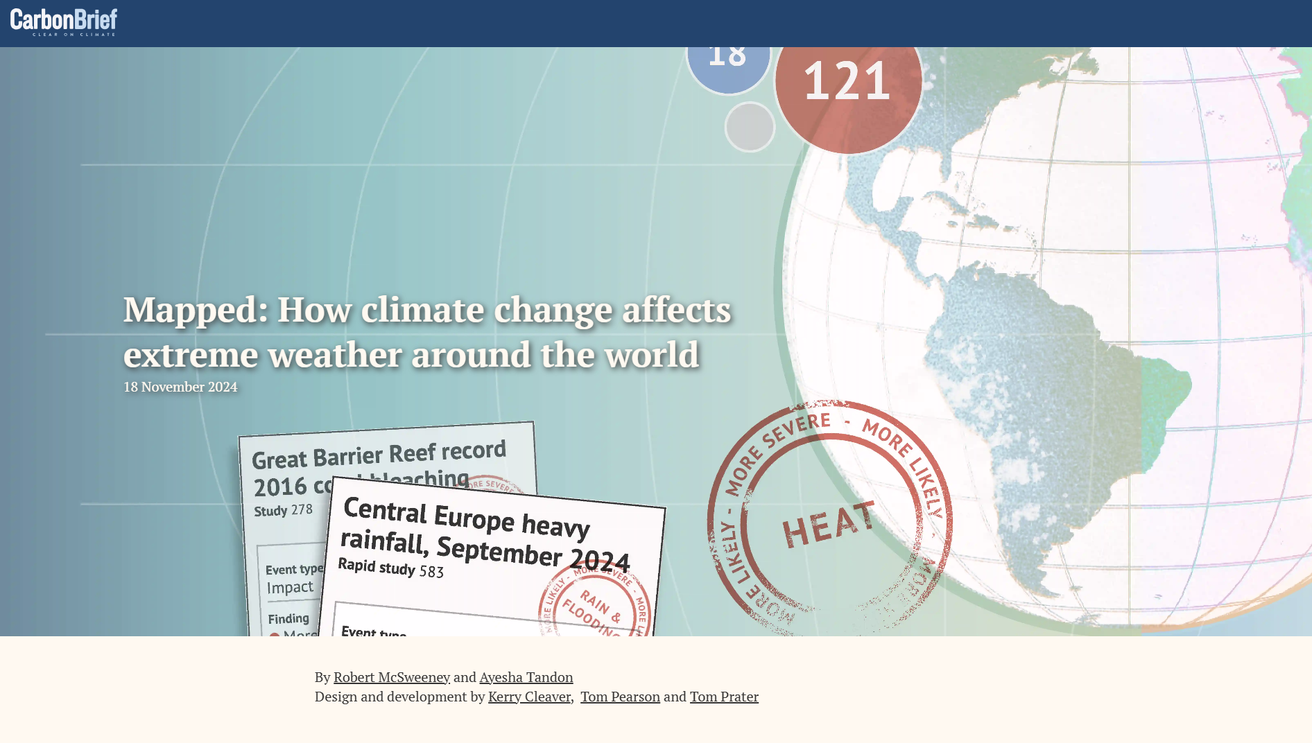
Climate Impact Attribution
Carbon Brief’s Attribution Studies Interactive Map is a searchable database mapping published climate-event attribution research. It shows how climate change influenced the likelihood or severity of extreme weather events globally, categorised by country and event type, with visual indicators of study findings on human-caused warming.
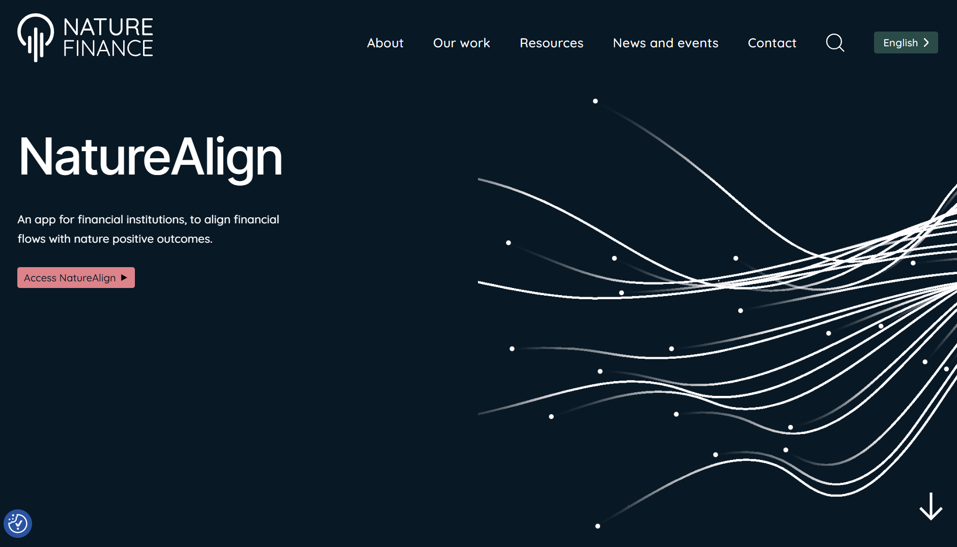
NatureAlign
NatureAlign is a decision-support tool by Nature Finance that helps financial institutions identify, assess and respond to nature-related risks and opportunities by aligning portfolios, strategies and governance with nature-positive outcomes.
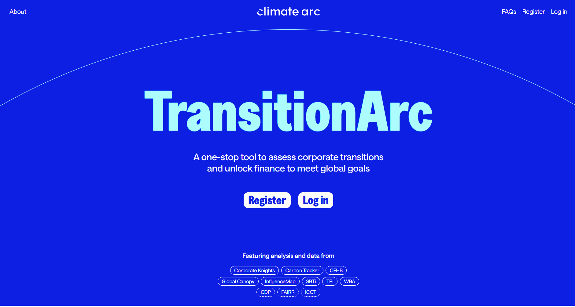
TransitionArc
TransitionArc is a public-facing platform that aggregates leading corporate climate transition data and analysis, enabling comparison of companies’ progress on science-aligned targets and disclosure metrics to support investment, engagement and policy decisions. It streamlines disparate assessments into a coherent view of corporate transition performance
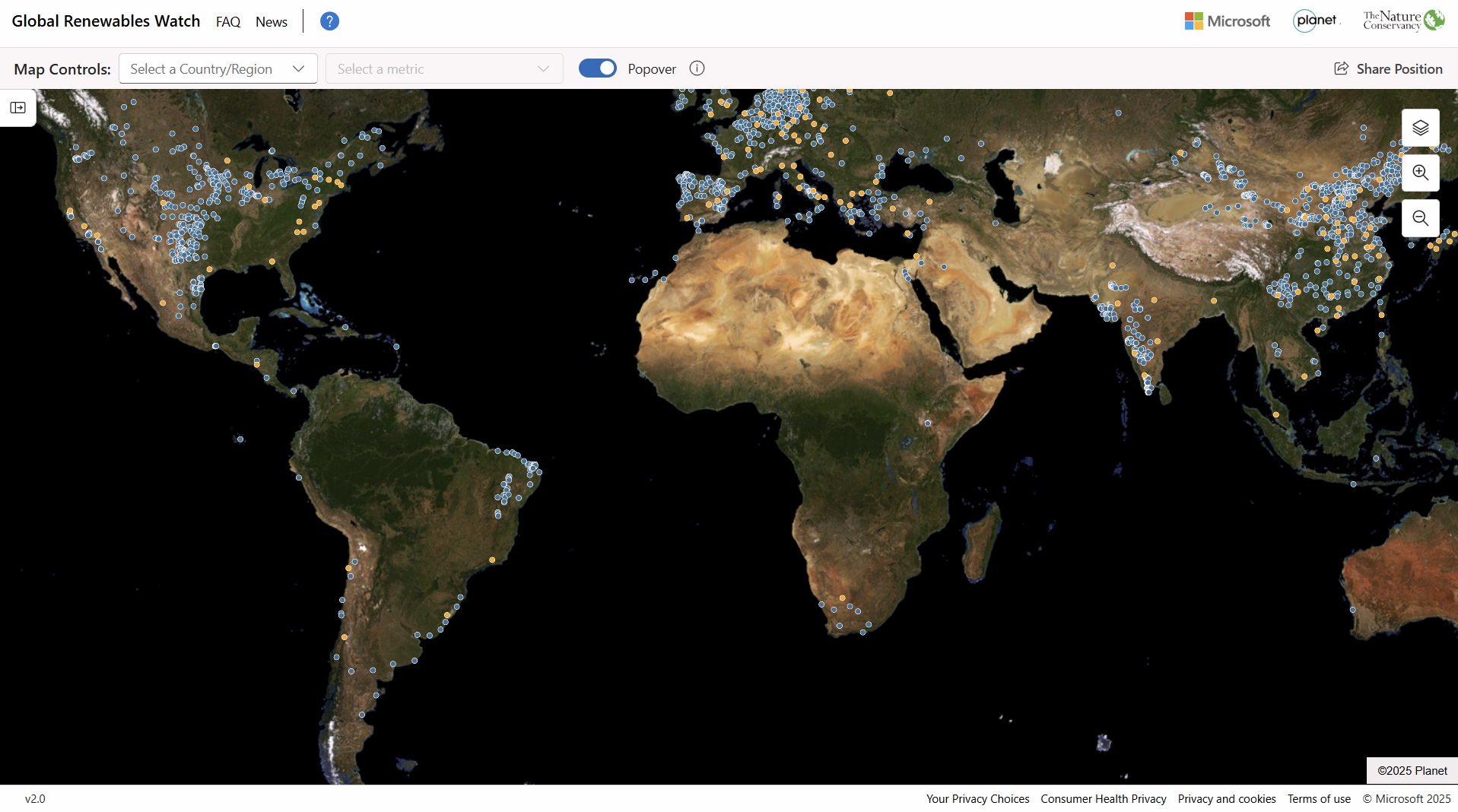
Global Renewables Watch
Global Renewables Watch Atlas is an open, interactive database mapping utility-scale solar and wind projects worldwide. It provides project-level data on location, capacity, and development status to support analysis of renewable energy deployment, infrastructure planning, and investment-related research.
Global Renewables Watch is a project/initiative of Global Energy Monitor, which acts as the organisational author and is responsible for governance, data production, and oversight.
Global Renewables Watch is a project/initiative of Global Energy Monitor, which acts as the organisational author and is responsible for governance, data production, and oversight.
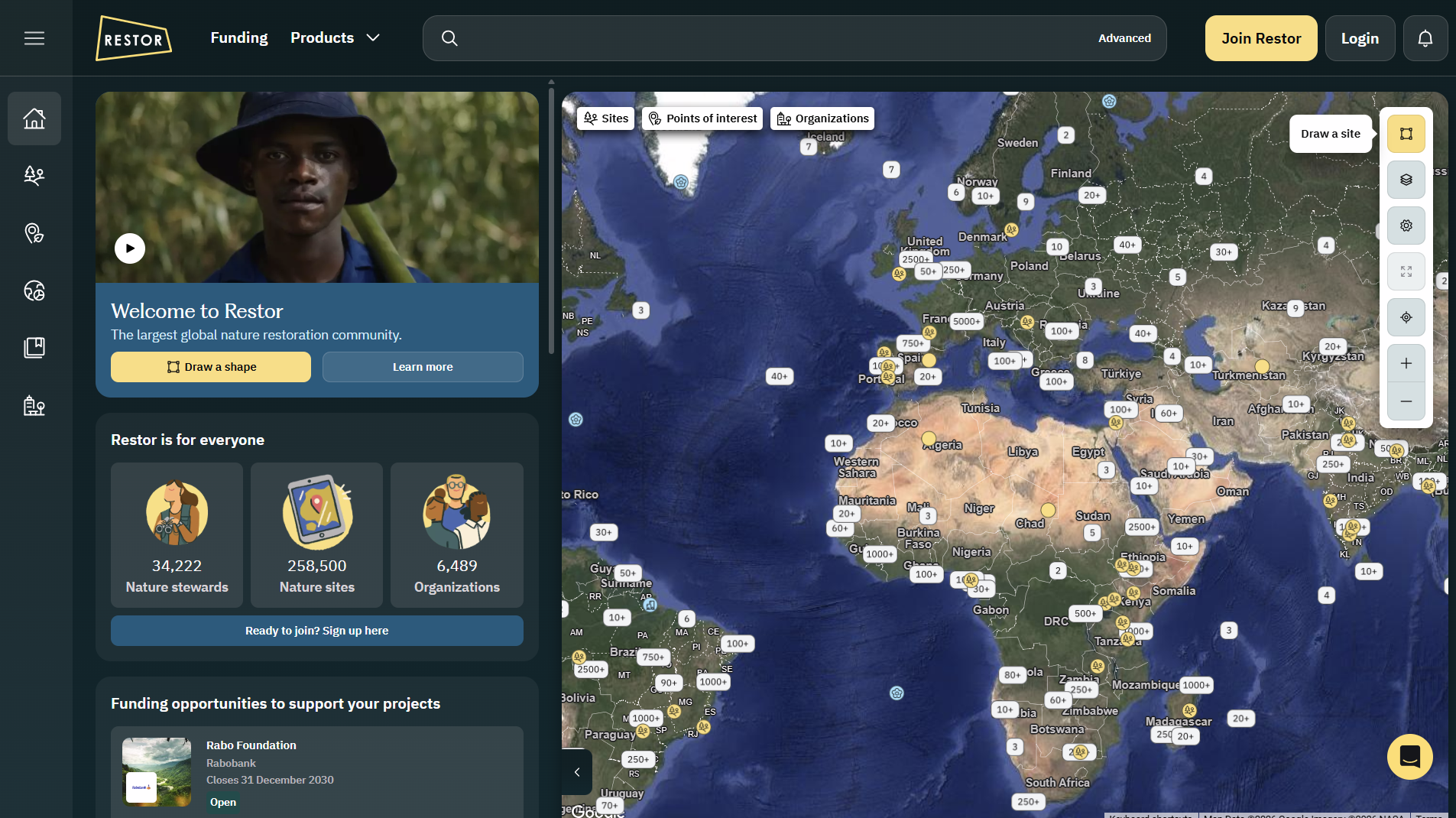
Restor
Restor.eco is an open-data geospatial platform that maps and analyses global nature restoration and biodiversity projects, offering environmental datasets, impact tracking, funding opportunities and reporting tools to support transparent ecosystem restoration and conservation efforts worldwide.
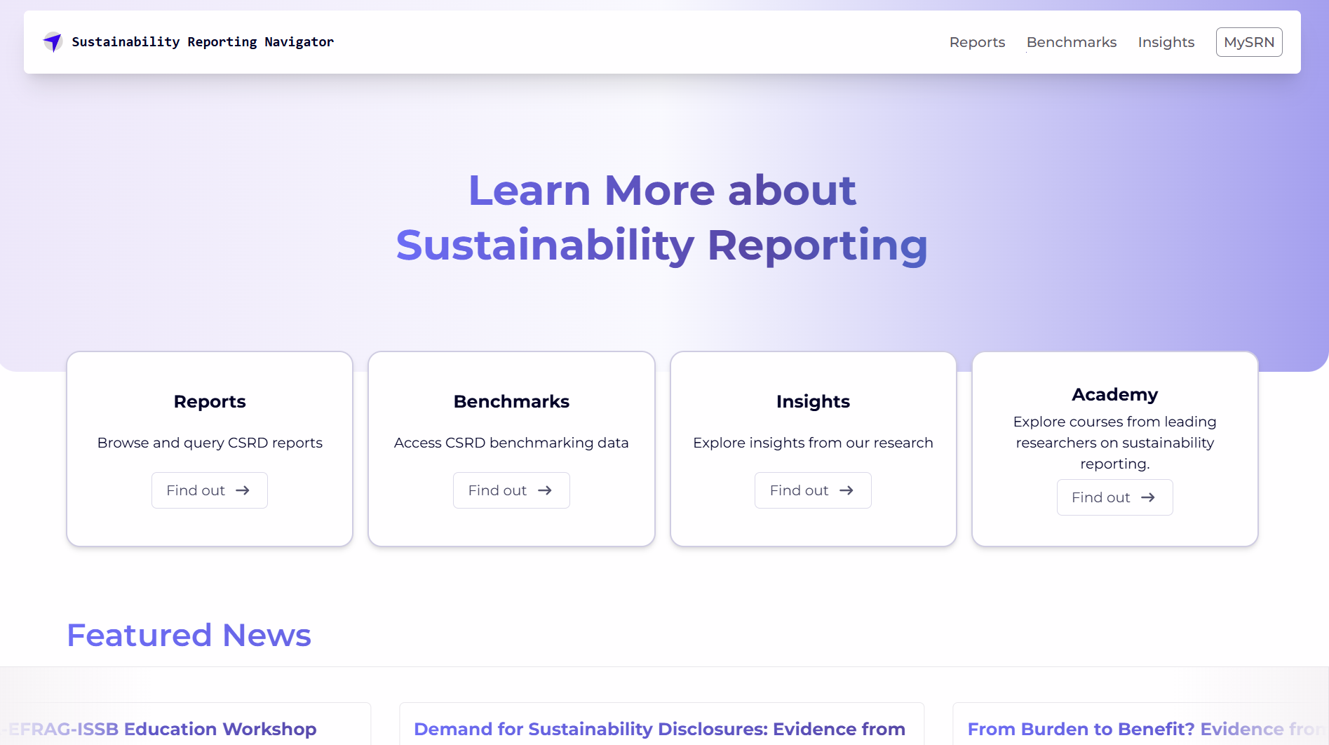
Sustainability Reporting Navigator
Sustainability Reporting Navigator (SRNAV) is an online database and benchmarking platform providing access to over 500 mandatory CSRD sustainability reports, interactive comparison tools and research insights to support systematic analysis of corporate sustainability disclosures. It includes a free benchmarking hub for reports and disclosure data under the EU CSRD regime. Accounting Research Centre (ARC) is a research centre operated within the EAA, created to develop and host research tools and databases such as SRNAV.
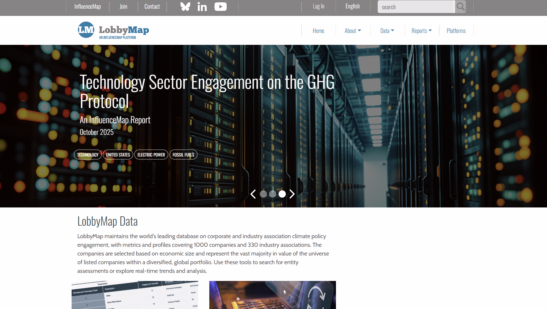
LobbyMap
LobbyMap is an online database that analyses corporate and trade association lobbying on climate and energy policy. It compares stated public positions with lobbying activities to assess alignment, consistency, and potential risks for investors and financial decision-making.
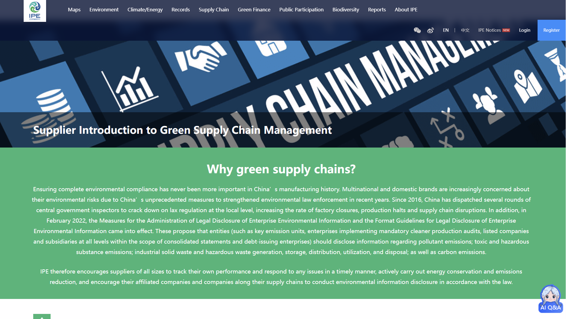
IPE Green supply chain
The Institute of Public & Environmental Affairs Green Supply Chain Supplier Database tracks environmental compliance of Chinese suppliers. It consolidates government violation records and corporate disclosures to support supply chain due diligence, risk screening, and ESG assessment by investors and companies.

European Accounting Association (EAA)
European Accounting Association (EAA) is an international academic association supporting accounting research, education and knowledge exchange. EAA organises annual congresses, doctoral workshops and specialist events, publishes leading accounting journals, and connects researchers, educators and institutions across Europe and globally, with focus on academic collaboration, standards debate and professional development activities.

ETH Zurich
ETH Zurich is a leading Swiss public research university specialising in science, technology, engineering and mathematics. It conducts globally recognised research, education and innovation across climate, energy, sustainability and digital technologies, supporting evidence-based policy, industry collaboration and societal impact through independent academic expertise.

Restor
Restor is an open-access digital platform supporting ecosystem restoration and biodiversity monitoring worldwide. It integrates spatial data, science-based tools, and community networks to track restoration progress, assess ecological impact, and inform decision-making for practitioners, researchers, investors, and policymakers involved in nature and biodiversity outcomes across terrestrial and marine landscapes globally.

Valuing Impact
Valuing Impact is an impact measurement and valuation consultancy supporting businesses, investors and organisations to understand social and environmental outcomes. It develops practical impact valuation frameworks, tools and research to inform sustainability strategy, ESG decision-making, impact reporting and responsible investment practices across sectors.

Climate arc
Climate Arc is a non-profit organisation focused on accelerating capital flows to climate solutions. It develops data tools, research, and insights to assess transition performance across companies, sectors, and markets. Climate Arc supports investors, policymakers, and practitioners seeking credible, decision-useful climate intelligence, with a global perspective and independent analytical approach.