Library | Sustainable Finance Practices
ESG Integration and analysis
Tools, methodologies, and frameworks for embedding ESG factors into financial analysis, valuation, credit assessment, underwriting, and portfolio management, while separating out broader strategic elements.
Refine
537 results
REFINE
SHOW: 16

Institute of Public & Environmental Affairs (IPE)
Institute of Public & Environmental Affairs is a China-based environmental non-governmental organisation promoting pollution transparency and corporate accountability. It operates public databases on air, water and supply chain compliance, supporting ESG research, responsible investment, environmental risk analysis, and sustainability decision-making in China.
Climate transition and global financial stability
This literature review assesses evidence on how delayed, failed or uneven climate transitions affect UK and global financial stability. It finds intensifying physical and transition risks, potential mispricing and spillovers, and significant uncertainty, highlighting EMDE transitions as central to managing systemic financial risk.
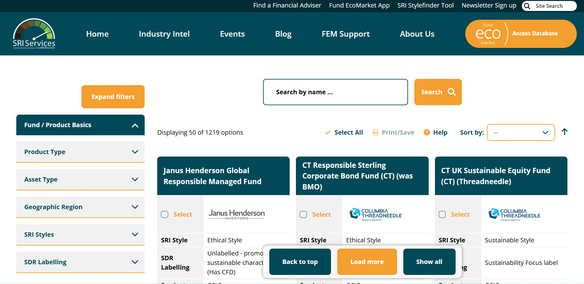
Fund EcoMarket database tool
Fund EcoMarket is a UK-based database offering ESG, impact, and sustainability information on investment funds. It compiles fund-level disclosures to support screening, comparison, reporting, and regulatory alignment for asset managers, advisers, and institutional investors.
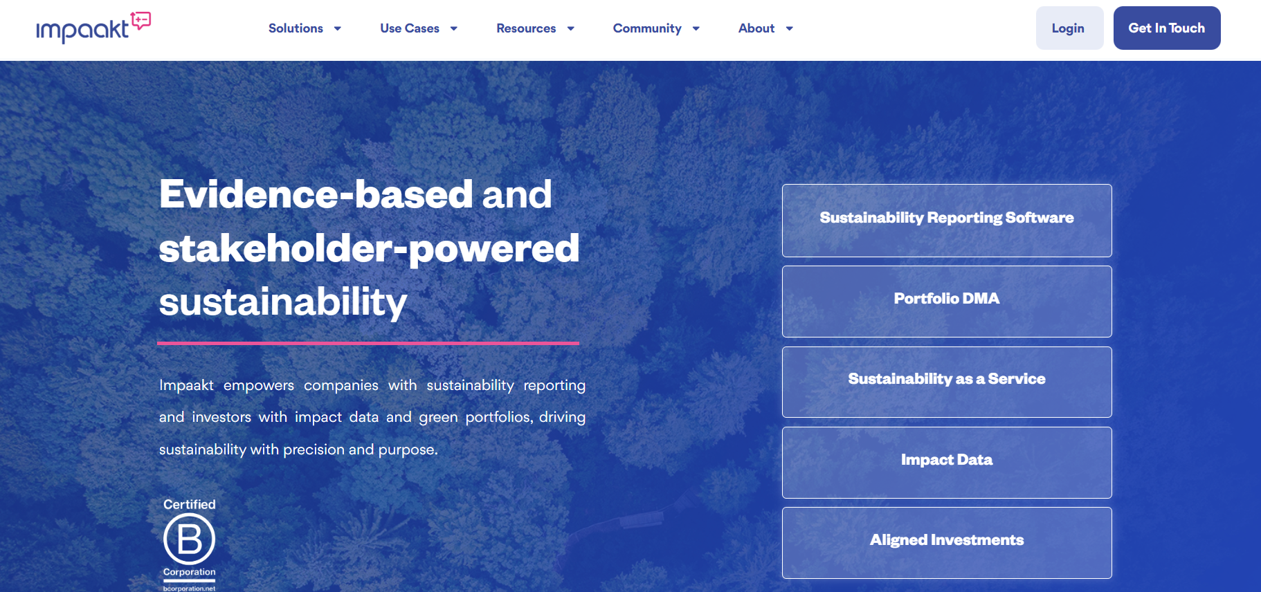
Impaakt
Impaakt is a crowdsourced impact analysis platform that enables investors to assess companies’ environmental, social, and governance performance. It aggregates structured user evaluations to support more transparent, impact-focused investment decision-making.
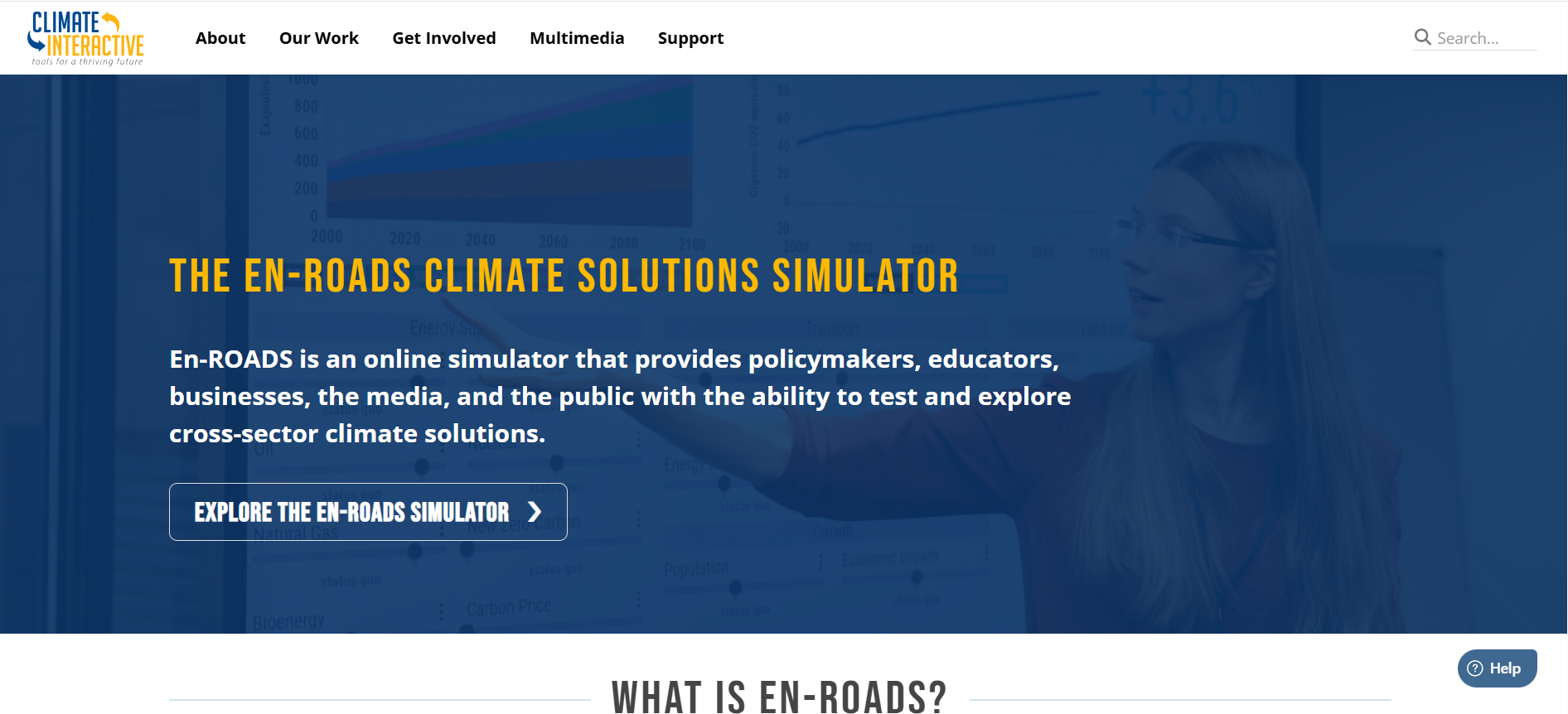
En-ROADS Climate Solutions Simulator
En-ROADS is an interactive global climate and energy policy simulation tool developed by Climate Interactive. It enables users to test policy scenarios and assess impacts on emissions, energy systems and temperature pathways to 2100, supporting climate risk analysis, strategy development and decision-making.

SRI Services
SRI Services is an independent responsible investment research and data provider. It supports asset managers, consultants and advisers with ESG, sustainable and impact investing analysis. Core services include Fund EcoMarket, fund classification, screening tools and research that improve transparency, comparability and decision-making across global responsible investment markets and users worldwide.

Impaakt
Impaakt is a Swiss-based ESG and impact data platform that uses stakeholder-powered, collective intelligence to assess companies’ social and environmental impact. It offers sustainability reporting, impact data, and materiality assessments for investors and corporates to improve transparency and avoid greenwashing.
Adaptation and resilience impact measurement toolkit : A practical framework for financial institutions
Provides a practical framework for financial institutions to measure climate adaptation and resilience impacts. It sets principles, indicators and decision pathways across banks, insurers, DFIs and asset managers, linking outputs, outcomes and impacts to capital allocation, risk management, compliance and reporting.
UNICEF USA’s child lens investing series
This series outlines UNICEF’s Child-Lens Investing approach, providing practical guidance for investors to integrate children’s rights and well-being into investment strategy, due diligence, contribution, and measurement across asset classes. It supports consistent application of a child lens alongside established impact and ESG practices.
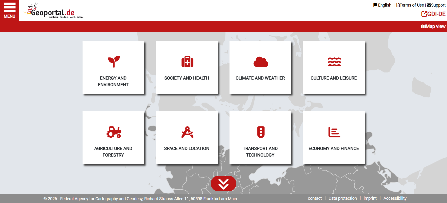
Geoportal.de
Geoportal.de is Germany’s national geospatial data portal, providing centralised access to official maps, datasets, and metadata from federal, state, and local authorities. It supports planning, environmental analysis, infrastructure development, and public-sector decision-making through standardised spatial data services.
Swiss Data Cube
The Swiss Data Cube is a national platform providing consistent, long-term Earth observation data for Switzerland. It supports environmental monitoring, trend analysis, and evidence-based decision-making relevant to climate, land use, and natural resource management.
NASA Earthdata GIS
NASA Earthdata GIS Portal provides web-based access to geospatial datasets, maps, and analytical tools covering climate, land, oceans, and atmosphere. It enables users to visualise, analyse, and download Earth observation data, supporting risk assessment, environmental monitoring, and evidence-based decision-making for finance and sustainability analysis.

NASA Earthdata VEDA Dashboard
The NASA Earthdata Dashboard is an interactive platform for discovering and exploring Earth observation datasets. It allows users to search, filter, and visualise data by theme and taxonomy, supporting analysis of climate, environmental, and geospatial information relevant to risk assessment and research.
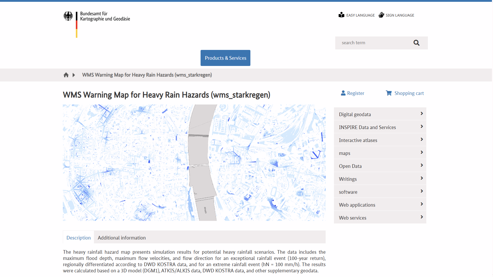
WMS Warning Map for Heavy Rain Hazards (WMS Hinweiskarte Starkregengefahren)
WMS Hinweiskarte Starkregengefahren is a German national Web Map Service showing simulated heavy-rain hazard data, including maximum inundation depths, flow velocities and directions for extreme rainfall scenarios. It supports GIS integration and helps outline potential surface flood risk areas nationwide.

KanataQ Ltd
KanataQ Ltd provides climate and nature risk analytics for financial institutions, corporates and investors. It develops data-driven models, scenarios and tools to assess physical and transition risks, support regulatory reporting, and inform strategic decision-making across climate, ESG and sustainable finance, using forward-looking insights aligned with global climate frameworks and standards.
Paris Agreement Capital Transition Assessment
PACTA for Banks is a free, open-source climate scenario analysis toolkit that enables banks to assess how well their corporate lending portfolios align with climate scenarios, using sector and asset-level data to inform lending strategy and climate target-setting.