Overview
WESR: Mountains is an interactive geospatial tool hosted on MapX that focuses on environmental and socio-economic conditions in mountain regions. It brings together spatial datasets relevant to climate, ecosystems and human activity in mountainous areas. Finance professionals may find it useful for understanding location-specific environmental risks and long-term sustainability trends affecting assets and investments.
Organisation behind the tool
The tool is hosted on MapX, a United Nations-supported open geospatial platform. MapX is developed under the leadership of the United Nations Environment Programme (UNEP), in collaboration with partners from research institutions, international organisations and governments. WESR refers to the World Environment Situation Room framework, which aims to support evidence-based decision-making.
What the tool does
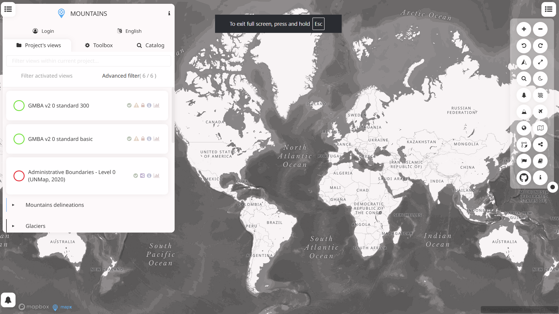
WESR: Mountains enables users to explore spatial data related to mountain environments through an interactive map interface. Key functions include:
- Visualising environmental indicators such as climate exposure, biodiversity and land cover in mountain regions
- Displaying socio-economic layers linked to livelihoods, population and development pressures
- Overlaying multiple datasets to examine spatial relationships and regional patterns
- Accessing map layers and descriptive metadata through a web-based interface
- Supporting basic visual analysis rather than advanced modelling or forecasting
- The tool focuses on geographic context and comparative spatial insight rather than numerical financial data.
Target audience
The primary audience includes policymakers, environmental analysts and researchers working on mountain ecosystems and sustainable development. Secondary users include development organisations, NGOs and the general public. The platform is also accessible to non-technical users, as it does not require specialist GIS software.
Relevance to finance professionals
For finance and investment professionals, the tool can support contextual analysis and qualitative screening, particularly in relation to environmental and social risk:
- Risk assessment – Identifying exposure of assets or supply chains located in mountain regions to climate stress, land degradation or ecosystem sensitivity
- ESG analysis – Informing environmental and biodiversity considerations relevant to disclosure, stewardship and sustainability frameworks
- Market and sector insights – Providing geographic context for sectors such as agriculture, hydropower, mining and infrastructure operating in mountainous areas
- Investment context – Supporting long-term assessment of environmental pressures and resilience in regions relevant to project finance or sovereign risk
The tool is best used as a complementary source of spatial context rather than a standalone analytical or financial decision tool.