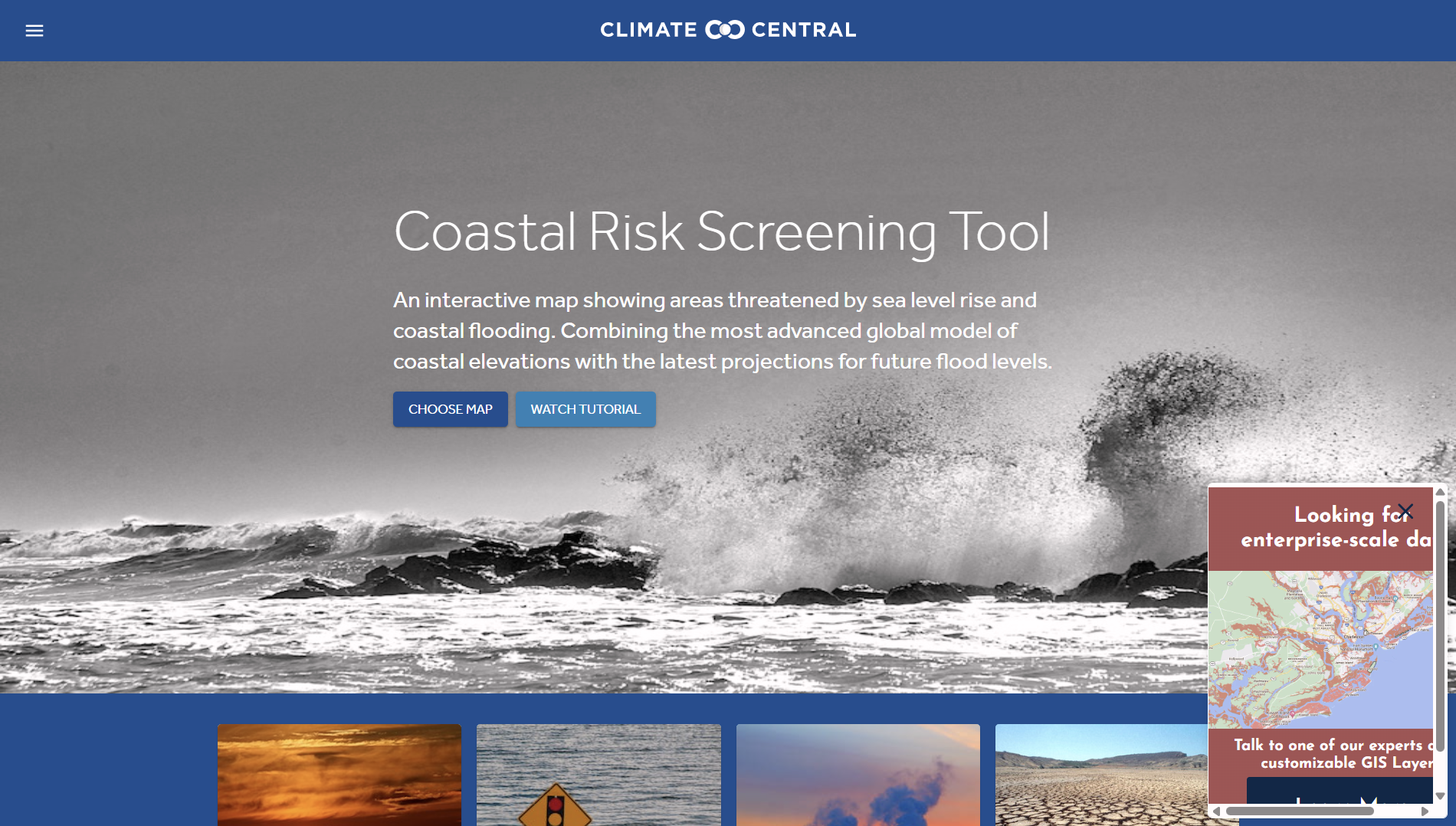
The Coastal Risk Screening Tool is an online, map-based platform that visualises current and future coastal flood risk driven by sea-level rise and coastal flooding. It translates climate science into location-specific risk indicators. Finance professionals may find it relevant for assessing physical climate risk exposure across assets, portfolios, and regions.
Organisation behind the tool
The tool is developed and maintained by Climate Central, an independent, non-profit research organisation focused on climate science communication. The Coastal Risk Screening Tool builds on Climate Central’s scientific research on sea-level rise, coastal flooding, and climate attribution. The organisation works with scientists, data specialists, and mapping experts to make climate risk information accessible to decision-makers and the public.
What the tool does
The Coastal Risk Screening Tool provides interactive, location-based visualisations of coastal flood exposure. Key functions include:
- Interactive global and regional maps showing areas exposed to coastal flooding.
- Visualisation of land and population exposure to flooding under different sea-level rise scenarios.
- Ability to assess current conditions and projected future risk based on climate pathways.
- Location search to identify flood exposure for specific coastal cities or regions.
- Layered views that show flood extents, elevation, and population impact.
- Clear differentiation between present-day risk and long-term projected exposure.
The tool is primarily visual and exploratory. It is designed for screening and high-level analysis rather than detailed engineering or asset-level modelling.
Target audience
The primary audience includes policymakers, journalists, researchers, and the general public seeking to understand coastal climate risks. Secondary users include finance professionals, insurers, urban planners, infrastructure managers, and sustainability practitioners who require accessible climate risk indicators for high-level decision-making.
Relevance to finance professionals
For finance professionals, the tool can support early-stage physical climate risk assessment and contextual analysis:
Risk assessment
- Identify coastal regions exposed to sea-level rise and coastal flooding.
- Screen portfolios for geographic exposure to long-term flood risk.
- Support climate scenario analysis by highlighting areas of increasing physical risk.
ESG analysis
- Inform environmental risk considerations linked to climate adaptation and resilience.
- Support disclosures related to climate-related physical risks under sustainability frameworks.
Market and infrastructure insights
- Assess potential exposure of coastal infrastructure, real estate, and urban areas.
- Provide context for sectors sensitive to coastal flooding, such as transport, property, tourism, and utilities.
Investment context
- Highlight long-term environmental trends relevant to asset valuation and location-based investment decisions.
- Support strategic thinking around climate adaptation, retreat, and resilience in coastal regions.
- The tool is best suited for high-level screening and awareness rather than quantitative financial modelling.