Overview
The WMS Hinweiskarte Starkregengefahren is a German national web map service that provides indicative information on heavy rainfall hazard scenarios. It visualises potential surface water flooding, flow paths and water depths based on standardised extreme rainfall simulations. Finance professionals may find it relevant for understanding physical climate risk exposure, particularly for assets and activities located in Germany.
Organisation behind the tool
The tool is developed and maintained by Bundesamt für Kartographie und Geodäsie (BKG), Germany’s federal agency responsible for geospatial data, mapping services and spatial reference systems. The service supports national risk awareness and spatial planning by providing consistent, country-wide hazard information.
What the tool does
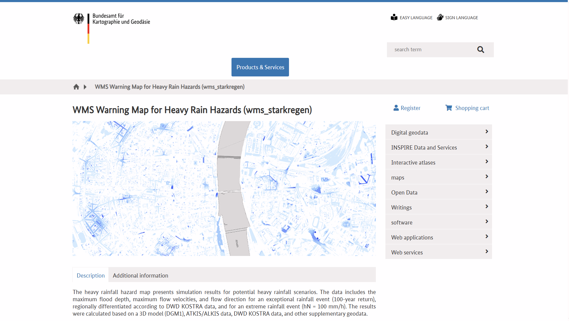
- Provides a Web Map Service (WMS) layer for heavy rainfall hazard indication across Germany.
- Displays simulated extreme rainfall scenarios, including:
- Potential inundation depth.
- Surface runoff flow direction and velocity.
- Allows integration into GIS software and other spatial analysis platforms.
- Supports overlay with other geospatial datasets, such as land use, infrastructure or asset locations.
- Offers a standardised, nationwide view rather than site-specific flood modelling.
Target audience
The primary users are public authorities, spatial planners and emergency management professionals. Other relevant users include researchers, infrastructure operators, insurers, consultants and financial institutions assessing location-based climate risks.
Relevance to finance professionals
Risk assessment
- Supports identification of areas potentially exposed to surface water flooding from extreme rainfall.
- Useful for screening physical climate risks to real assets, infrastructure and property portfolios in Germany.
ESG analysis
- Contributes to environmental risk disclosure by informing assessments of climate-related hazards.
- Can support inputs into climate risk reporting under emerging sustainability frameworks.
Market and infrastructure insights
- Relevant for sectors sensitive to flooding impacts, including real estate, transport, utilities and industrial facilities.
Investment context
- Provides spatial context for long-term climate resilience considerations.
- Useful for due diligence, portfolio monitoring and stress testing linked to extreme weather exposure.