Library | ESG issues
Environmental
The environmental pillar in ESG (environmental, social, and governance) assesses an organisation’s impact on the planet. It includes issues such as climate change, biodiversity, waste management and water management. Strong environmental practices help businesses reduce risks, comply with regulations, and drive long-term sustainability.
Refine
1578 results
REFINE
SHOW: 16

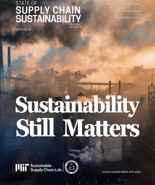
State of supply chain sustainability series
The State of Supply Chain Sustainability is an annual benchmark series that examines how organisations define, govern, and implement environmental and social sustainability across global supply chains. It provides a consistent research framework to track evolving practices, pressures, and management approaches over time.
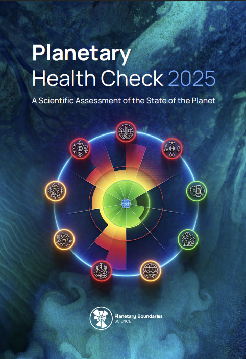
Planetary health check series
The Planetary Health Check is an annual benchmark series providing a consistent, science-based assessment of the Earth system. It applies the Planetary Boundaries framework to monitor planetary stability, resilience, and life-support functions, supporting comparability over time and informing policy, finance, and strategic decision-making and Planetary Boundaries Science is a research lab within the Potsdam Institute for Climate Impact Research (PIK), focused on advancing scientific understanding of the planetary boundaries framework. It does not operate as an independent organisation and should be covered under PIK’s institutional profile.
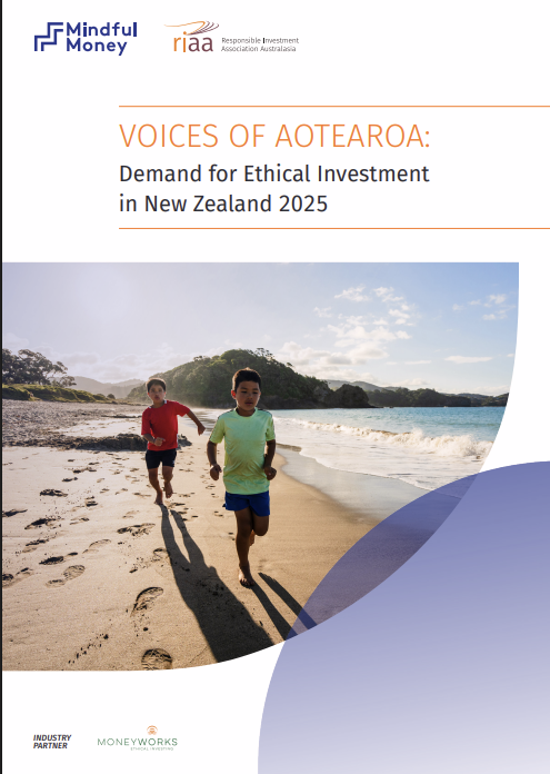
Voices of Aotearoa: Demand for ethical investment in New Zealand series
This annual research series examines public attitudes, expectations and behaviours relating to ethical, responsible and impact investing in New Zealand. It tracks how consumers engage with investment choices, transparency, fund practices and adviser interactions, providing a consistent evidence base to monitor evolving demand over time.
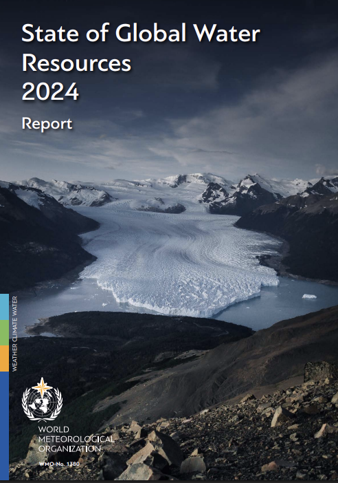
State of global water resources series
The State of Global Water Resources is an annual benchmark series produced by the World Meteorological Organization. It provides a consistent, global overview of freshwater conditions across key components of the hydrological cycle, supporting comparative assessment and decision-making across regions and time.

International Campaign to Abolish Nuclear Weapons (ICANW)
International Campaign to Abolish Nuclear Weapons (ICAN) is a global civil society coalition working to eliminate nuclear weapons. ICAN leads advocacy for the Treaty on the Prohibition of Nuclear Weapons, produces policy research, and supports disarmament campaigns worldwide, engaging governments, UN institutions, partners across regions, and multilateral policy forums.
Carbon Market Watch
Carbon Market Watch is an independent climate policy NGO focused on carbon markets, offsets and climate finance integrity. It monitors EU and global climate policies, produces research and policy analysis, and advocates for robust carbon market rules that protect environmental integrity, human rights and ambition across voluntary and compliance systems.

MIT Center for Transportation & Logistics
MIT Center for Transportation & Logistics (MIT CTL) is a research centre advancing supply chain management, logistics and transportation systems.Based at Massachusetts Institute of Technology, it produces applied research, executive education and industry partnerships focused on resilience, sustainability, digital innovation and global supply chain performance across sectors worldwide today.
World Climate Research Programme (WCRP)
World Climate Research Programme (WCRP) is an international initiative advancing climate science and Earth system understanding. It coordinates global research on climate variability, change, extremes and predictability, producing authoritative reports, data and science events that inform policy, risk assessment and climate-resilient decision-making worldwide across sectors and regions for society globally.
The state of the climate series
This benchmark series provides concise annual assessments of the global climate, using consistent scientific indicators to monitor environmental conditions, human pressures, and system responses. It is designed to support structured analysis and comparison over time for researchers, policymakers, and finance and sustainability professionals.

Peoples' climate vote series
The Peoples’ Climate Vote is a global survey series capturing public perspectives on climate change, policy priorities and collective action. Led by international institutions, it provides a consistent framework to understand how people experience climate impacts and how they expect governments, businesses and global actors to respond.
Banking on climate chaos series
The Banking on Climate Chaos is a multi-year research series assessing how major global banks finance fossil fuel activities. It provides a consistent framework to review lending and underwriting linked to fossil fuels and expansion, supporting year-on-year comparison and broader analysis of banking practices.
Endowment impact benchmark series
The Endowment Impact Benchmark is a benchmark series that provides a structured assessment and benchmarking framework for endowments and foundations. It evaluates policies, governance, management and transparency related to sustainable and impact investing, enabling consistent comparison and ongoing progress tracking across participating institutions.
Net zero atlas series
The COP Net Zero Atlas is an annual research series examining transition and physical climate risks across major economies. It provides a structured framework to assess national climate commitments, policy pathways and exposure to climate hazards, supporting comparative analysis for investors and policymakers.
State of the global climate series
The State of the Global Climate is an annual benchmark series produced by the World Meteorological Organization that synthesises authoritative observations across the climate system, including the atmosphere, oceans and cryosphere, to provide a consistent, comparable evidence base for global climate monitoring, policy analysis and long-term assessment.
State and trends of carbon pricing series
The State and Trends of Carbon Pricing series provides an annual, global overview of carbon pricing policies and carbon markets. It reviews the development and structure of carbon taxes, emissions trading systems, and crediting mechanisms to support policy, regulatory, and market analysis.
How do-more-good frames influence climate action likelihood and anticipated happiness
Two preregistered online experiments (N≈1,550) show that framing climate actions as “do more good” increases self-reported action likelihood and anticipated happiness compared with “do less bad”, with effects varying by specific action.