Library | Sustainable Finance Practices
ESG Integration and analysis
Tools, methodologies, and frameworks for embedding ESG factors into financial analysis, valuation, credit assessment, underwriting, and portfolio management, while separating out broader strategic elements.
Refine
537 results
REFINE
SHOW: 16

Sustainable Finance Roundup January 2026: Geopolitics, Energy Transitions, and Systemic Risk
This month’s sustainable finance article roundup examines a landscape increasingly shaped by geopolitics and climate risk, as near-term fragmentation, energy security, and affordability pressures collide with intensifying long-term threats from climate change, biodiversity loss, and water stress. The works featured analyse how these dynamics are reshaping capital allocation, disclosure, and resilience planning, demonstrating the growing need for sustainable finance to integrate geopolitical risk with real-economy transition.

Corporate climate responsibility monitor series
The Corporate Climate Responsibility Monitor is a recurring research series that independently assesses the transparency, integrity and credibility of corporate climate strategies. It evaluates how major global companies set, disclose and implement emission reduction targets, using a consistent methodology to enable year-on-year comparison across sectors.
Canadian pension climate report card series
The Canadian Pension Climate Report Card is an annual benchmark series assessing how major Canadian pension funds manage climate-related risks and align investment and stewardship practices with climate science. It applies a consistent, comparative framework using publicly disclosed information to evaluate governance, targets, engagement and integration over time.
Global landscape of climate finance series
Global Landscape of Climate Finance is a recurring benchmark series produced by Climate Policy Initiative that provides a consistent overview of global climate finance flows. It examines sources, instruments, uses, and geographic distribution of finance to track progress and comparability across years.
Benchmarking impact: Australian impact investor insights activity and performance series
Benchmarking Impact is a benchmark series that provides a structured, recurring assessment of Australia’s impact investing market. It examines investor activity, market practices, and product development to support comparability over time and inform understanding of how impact investing is evolving across the financial system.
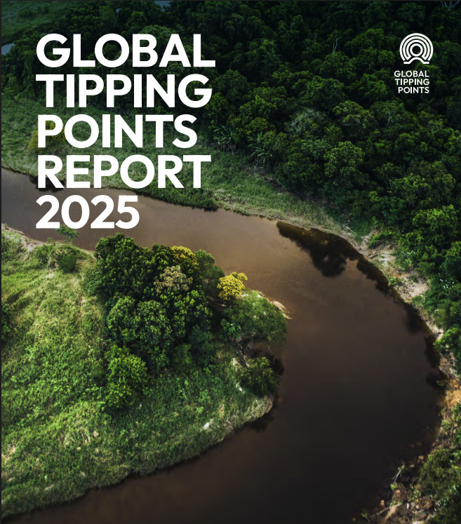
The global tipping points series
The Global Tipping Points Report is a research series examining Earth system tipping points and positive tipping dynamics. It synthesises interdisciplinary evidence on systemic risks, governance considerations and pathways for transformation, supporting decision-makers in understanding non-linear climate and environmental change across global systems.
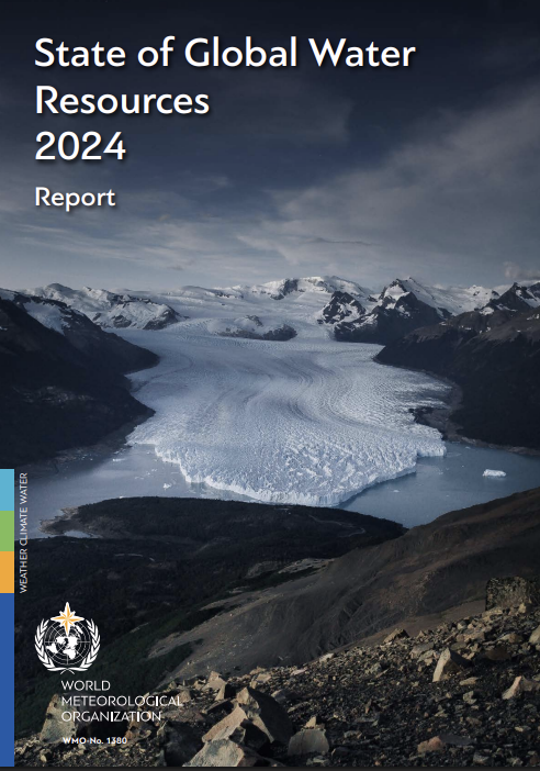
State of global water resources series
The State of Global Water Resources is an annual benchmark series produced by the World Meteorological Organization. It provides a consistent, global overview of freshwater conditions across key components of the hydrological cycle, supporting comparative assessment and decision-making across regions and time.

Finnish Sustainable Investment Forum (Finsif)
Finnish Sustainable Investment Forum (FINSIF) is a membership-based organisation promoting sustainable and responsible investment in Finland. It connects asset owners, investors, service providers and policymakers, produces research and guidance, and hosts events to advance ESG integration, impact investing, stewardship, and sustainable finance market development through collaboration and policy engagement nationally.
Shift: Action for Pension Wealth and Planet Health
Shift: Action for Pension Wealth and Planet Health is a Canadian non-profit advancing climate-aligned pension investing. It engages pension beneficiaries, publishes research such as the Canadian Pension Climate Report Card, and advocates for responsible investment, climate risk management, transparency, and long-term financial security across public retirement systems in Canada today.
Endowment impact benchmark series
The Endowment Impact Benchmark is a benchmark series that provides a structured assessment and benchmarking framework for endowments and foundations. It evaluates policies, governance, management and transparency related to sustainable and impact investing, enabling consistent comparison and ongoing progress tracking across participating institutions.
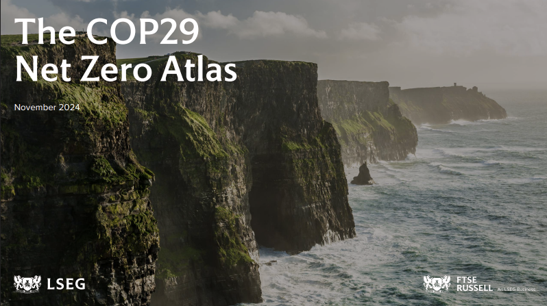
Net zero atlas series
The COP Net Zero Atlas is an annual research series examining transition and physical climate risks across major economies. It provides a structured framework to assess national climate commitments, policy pathways and exposure to climate hazards, supporting comparative analysis for investors and policymakers.
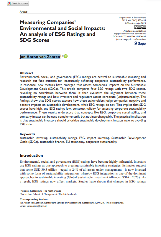
Measuring companies’ environmental and social impacts: An analysis of ESG ratings and SDG scores
This study compares ESG ratings with SDG scores across major providers. It finds little correlation. SDG scores align with investor exclusions and EU Taxonomy assessments, while ESG ratings largely measure financial risk exposure, not real-world environmental or social impacts.
Banking on Climate Chaos Coalition (BOCC)
Banking on Climate Chaos Coalition (BOCC) exposes global banks’ financing of fossil fuel projects and tracks lending and underwriting by the world’s largest banks to coal, oil and gas companies. Its annual Banking on Climate Chaos reports highlight fossil fuel finance data, frontline community impacts and drive climate accountability in banking.
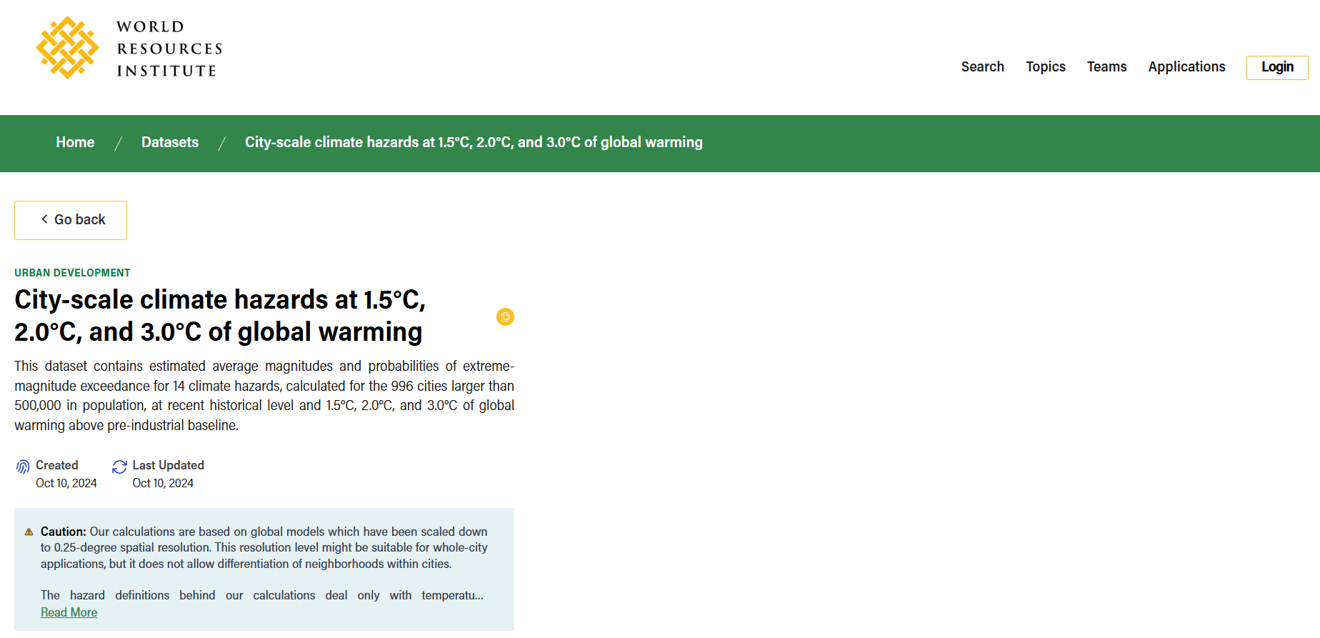
City-scale climate hazards at 1.5°C, 2.0°C, and 3.0°C of global warming
City-Scale Climate Hazard Indicators under Warming Scenarios is a global dataset by the World Resources Institute providing projected heat and precipitation hazard indicators for 996 large cities under 1.5°C, 2.0°C and 3.0°C warming scenarios, supporting climate risk and urban planning analysis.
RETScreen
RETScreen is a clean energy management software developed by Natural Resources Canada to assess renewable energy and energy efficiency projects. It supports feasibility analysis, financial evaluation, energy performance tracking and greenhouse gas emissions analysis using integrated global climate, cost and benchmark datasets.
Online Climate Scenario Analysis Narrative Tool
An interactive climate financial risk tool developed by the UK Centre for Greening Finance and Investment to support scenario analysis. It enables users to explore climate transition and physical risk pathways for financial decision-making, stress testing, and research, with a focus on climate-related financial impacts.