Overview
The GGInA Geoportal is an online geospatial information system maintained by the German Bundesanstalt für Gewässerkunde. It centralises hydrological, waterway, environmental and geographical data collected through federal monitoring and research. The portal supports interactive mapping, data discovery and analysis, and offers metadata and download services. Finance professionals may find it relevant for environmental risk, infrastructure and resource assessments.
Organisation behind the tool
The portal is developed and maintained by the Bundesanstalt für Gewässerkunde (Federal Institute of Hydrology), a federal scientific authority in Germany responsible for research, assessment and advice on hydrology, water quality and water resources. It operates as part of Germany’s federal water management infrastructure.
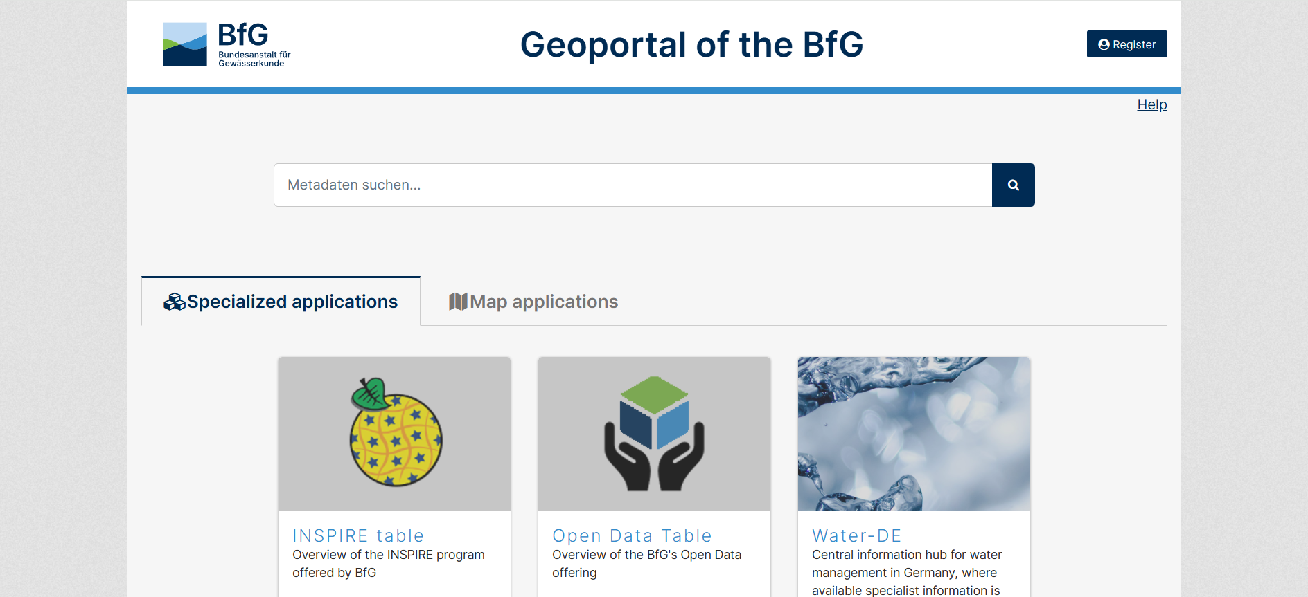
What the tool does
- Provides access to geospatial data related to hydrology, waterways, water quality and environmental factors.
- Hosts the Gewässerkundliches Geografisches Informations- und Analysesystem (GGInA) for spatial data analysis.
- Supports interactive map browsing and visualisation of datasets.
- Offers metadata search and structured data discovery.
- Enables download of open data and access via geodata services; some datasets require registration.
Target audience
Primary users include hydrologists, environmental researchers, water resource managers, policymakers and GIS specialists. Secondary audiences may include infrastructure planners, climate analysts and the general public interested in water-related geospatial data.
Relevance to finance professionals
Risk assessment
- Assess exposure to water-related hazards (floods, droughts) via historical and real-time data.
- Support scenario modelling for infrastructure risk and resilience.
ESG analysis
- Provide environmental indicators such as water quality and ecosystem health.
- Inform sustainability reporting and compliance with environmental standards.
Market/commodity insights
- Supply contextual data for sectors dependent on water resources (agriculture, energy, utilities).
- Enable evaluation of resource availability and seasonal variability.
Investment context
- Contribute to long-term trend analysis in climate adaptation and infrastructure planning.
- Support due diligence for projects with environmental and regulatory considerations.