Library | Location
Global
Refine
1163 results
REFINE
SHOW: 16

GHG Protocol Life Cycle Databases
The GHG Protocol Life Cycle Databases page lists third-party life cycle inventory and emissions datasets to support product life cycle and corporate value chain (Scope 3) greenhouse gas accounting. It links to multiple global and sector-specific LCI sources, with summaries of content, formats and accessibility.
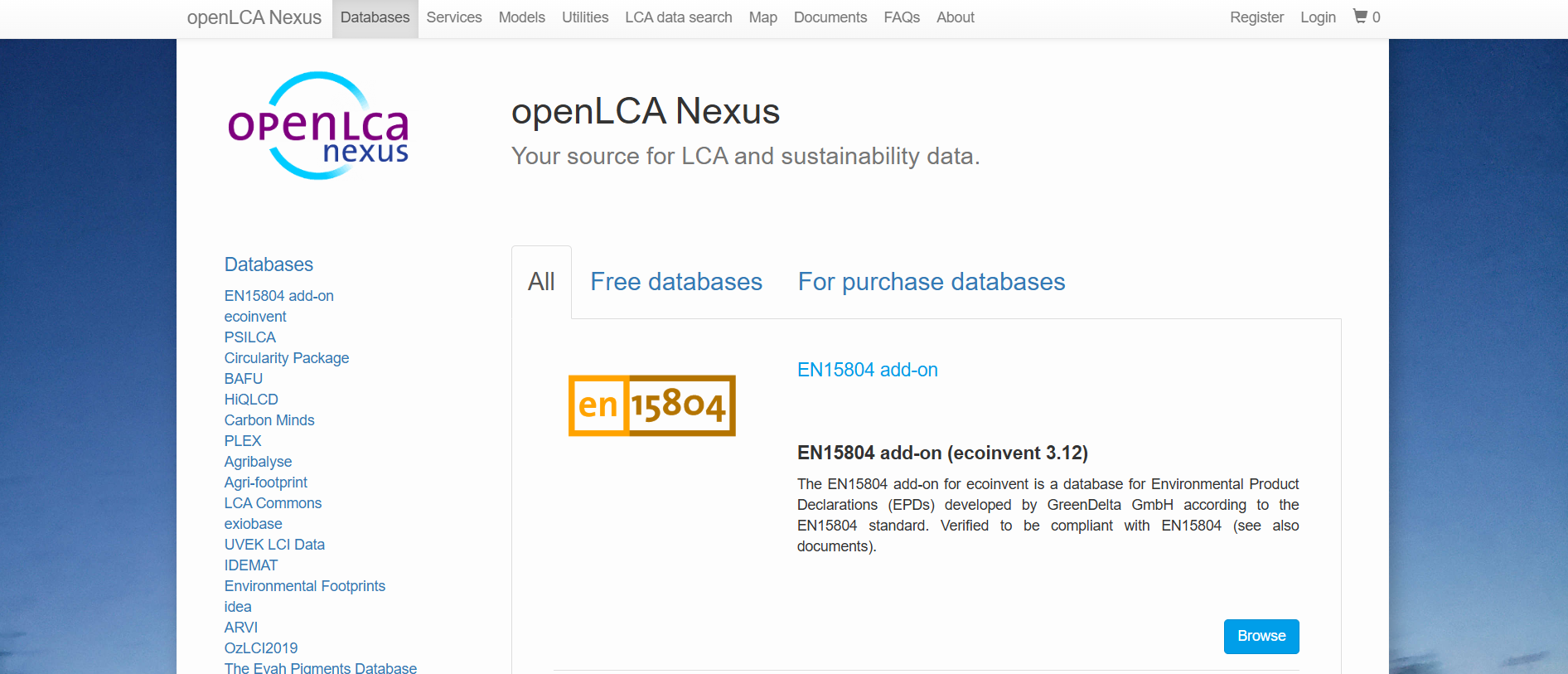
openLCA Nexus
openLCA Nexus is an online repository providing access to life cycle assessment databases for environmental and sustainability analysis. It hosts free and licensed datasets from multiple providers, covering energy, materials, agriculture, transport and waste, designed for use within the openLCA software environment.
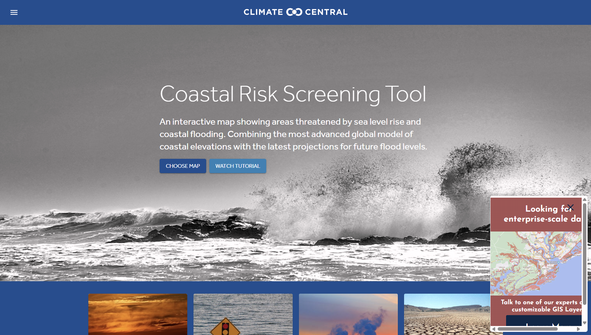
Climate Central: Coastal Risk Screening Tool
The Coastal Risk Screening Tool by Climate Central provides interactive maps and data showing current and future coastal flood exposure from sea-level rise and storm surge. It supports financial risk assessment, asset screening, and location-based climate impact analysis for coastal regions.
WESR: Risk
WESR: Risk is an analytical tool that examines systemic environmental and societal risks and their potential economic impacts. It provides structured insights into risk drivers, interconnections and long-term trends, supporting high-level risk identification and contextual analysis for finance and investment decision-making.
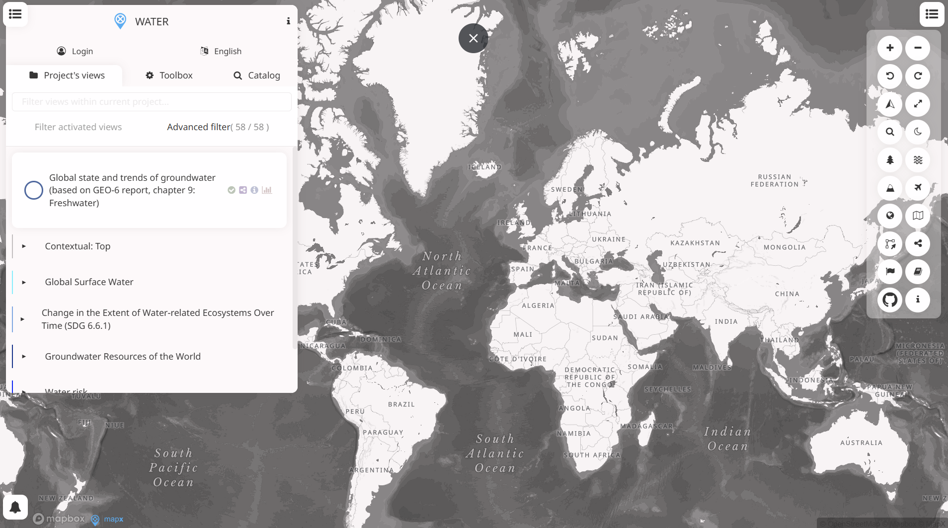
WESR: Water
WESR – Water provides geospatial insights on water availability, stress, and related risks. It supports location-based assessment of water-related exposure, enabling finance professionals to integrate water risk considerations into investment analysis, risk management, and sustainability decision-making.
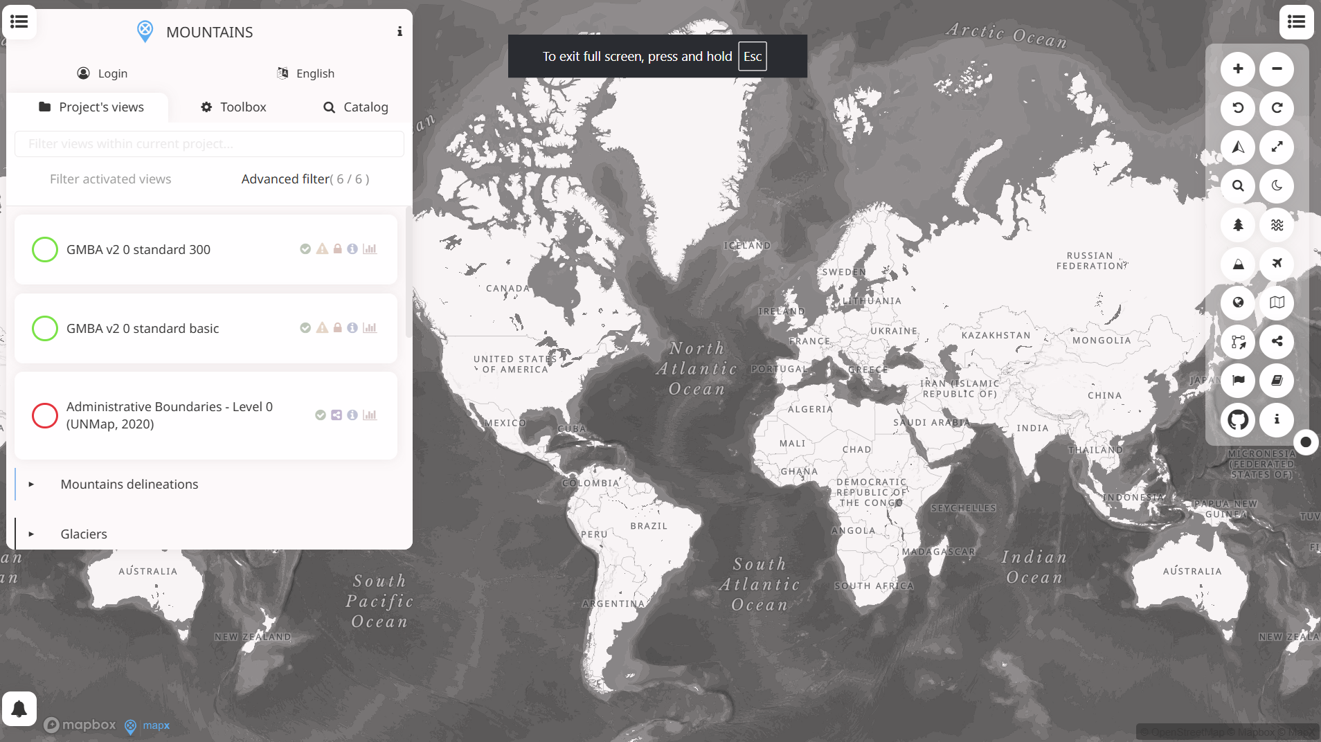
WESR: Mountain
WESR: Mountains on MapX is a geospatial tool that maps environmental and socio-economic indicators across mountain regions. It supports spatial analysis of climate, biodiversity and livelihoods, enabling evidence-based assessment of risks, resilience and sustainable development priorities in mountain ecosystems.
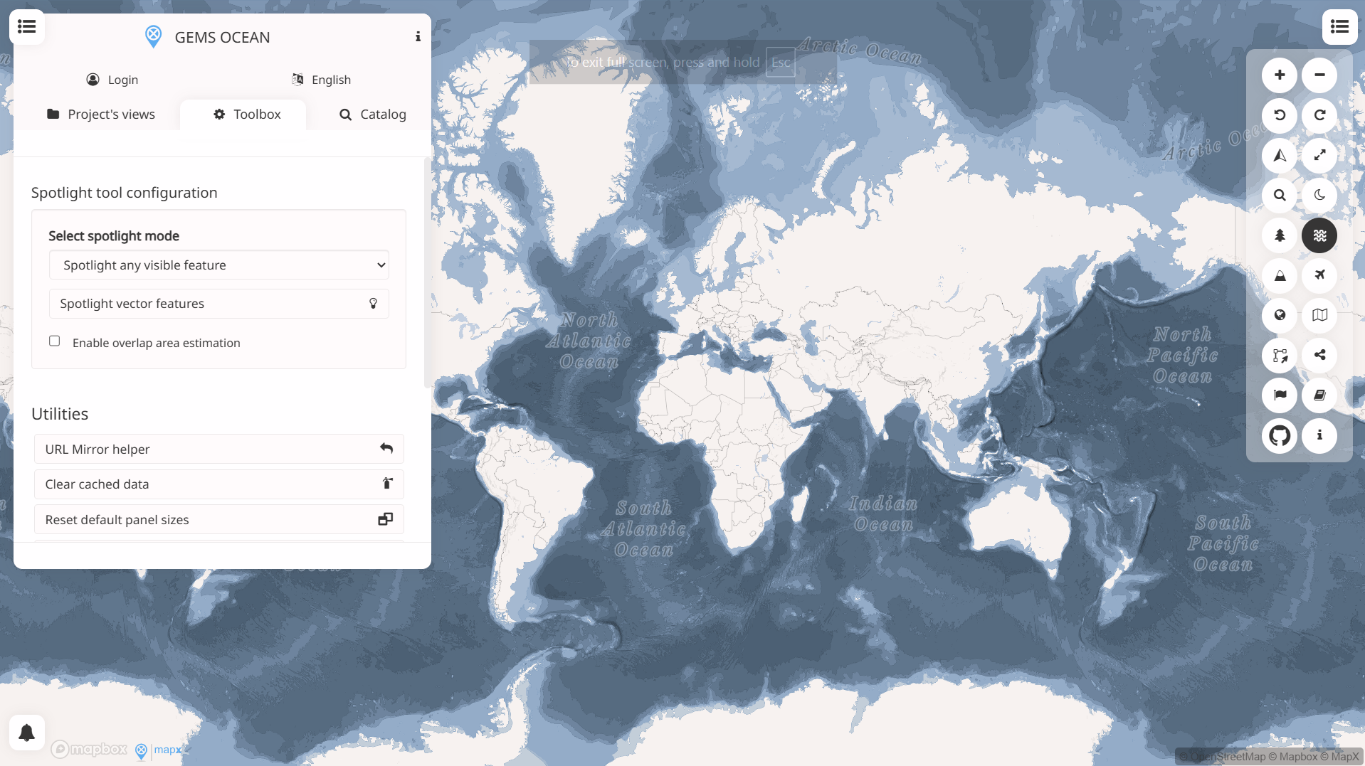
WESR: Ocean
WESR: Ocean provides high-level insights into ocean-related environmental risks and pressures, including marine ecosystems, pollution and resource use. It supports risk identification and contextual analysis for financial decision-making linked to ocean health, coastal exposure and sustainability considerations.
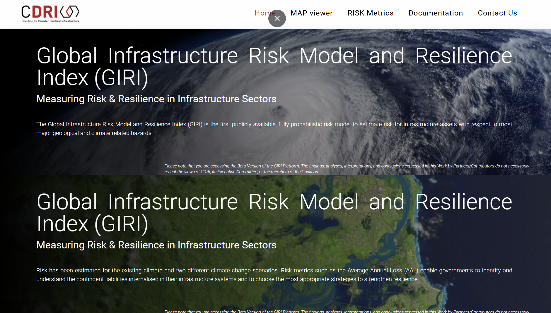
Global Infrastructure Risk Model and Resilience Index (GIRI)
The Global Infrastructure Risk Model and Resilience Index (GIRI) is a public, probabilistic model estimating infrastructure risk from major geological and climate hazards and resilience across sectors. It provides metrics like Average Annual Loss to inform national infrastructure risk assessment and resilience planning.
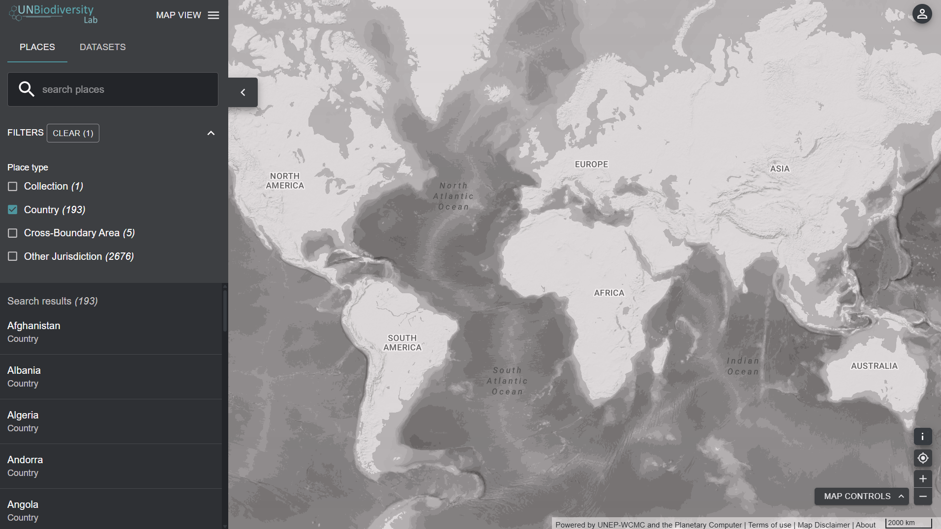
UN Biodiversity Lab
UN Biodiversity Lab’s Earth map is a free, online spatial data tool that lets users view and interact with over 400 global biodiversity, climate change and sustainable development map layers for analysis and planning. It supports visualising, downloading and combining datasets to inform conservation and policy decisions.
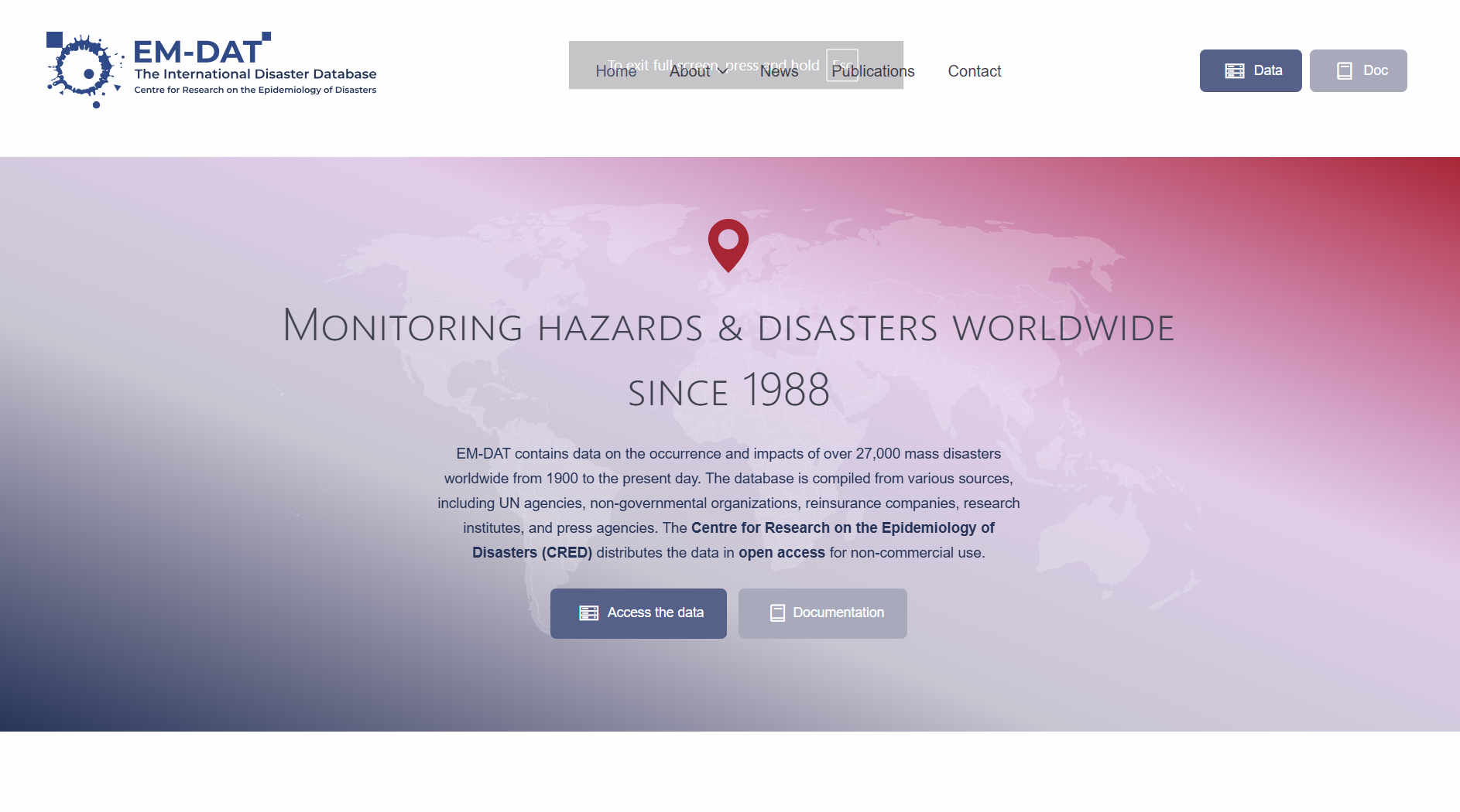
EM-DAT – The international disaster database
EM-DAT is a global database of over 27 000 major natural and technological disasters since 1900, recording their occurrence and human and economic impacts. Maintained by the Centre for Research on the Epidemiology of Disasters (CRED), it supports evidence-based disaster risk reduction, preparedness and vulnerability assessment.
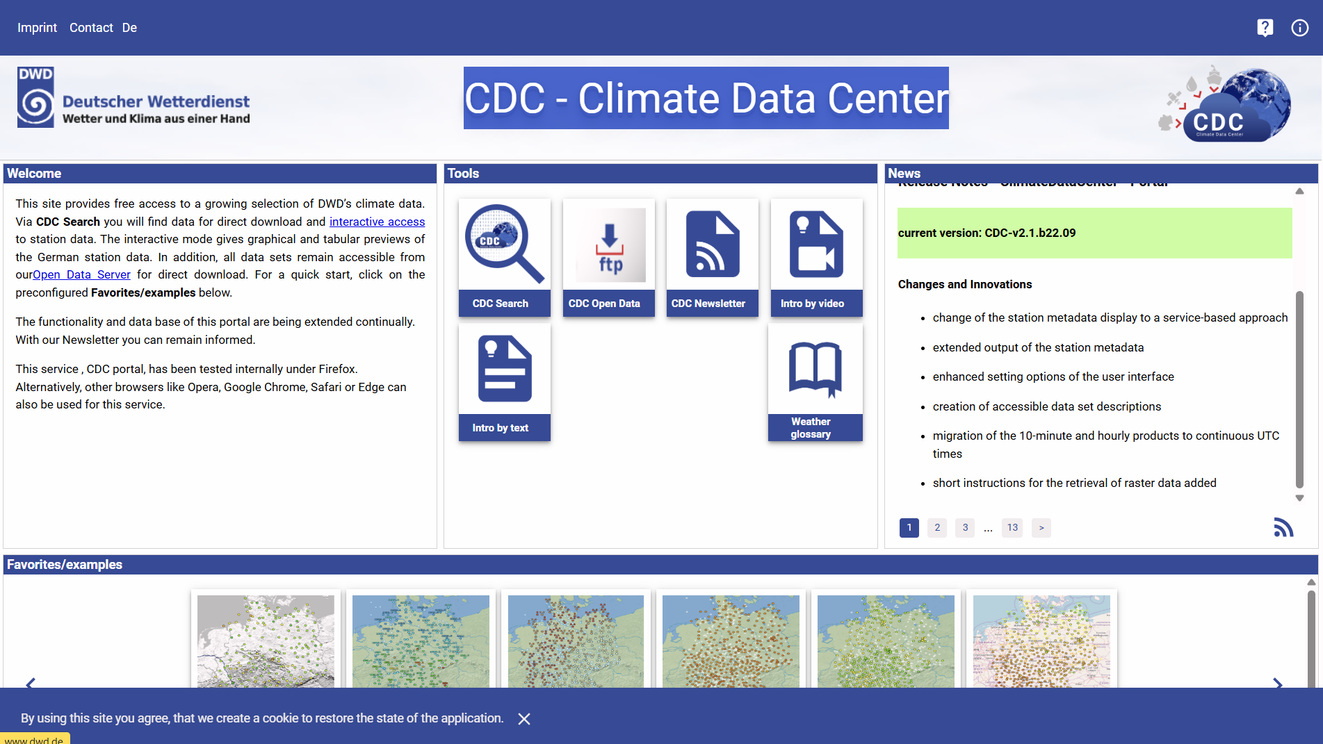
CDC: Climate Data Center
The CDC-Portal is an interactive web interface from the Deutscher Wetterdienst’s Climate Data Center that provides searchable access to climate data sets, enabling graphical and tabular previews and downloads of observational and derived climate data for research and analysis.
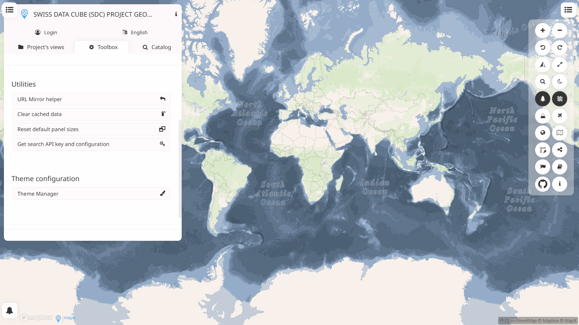
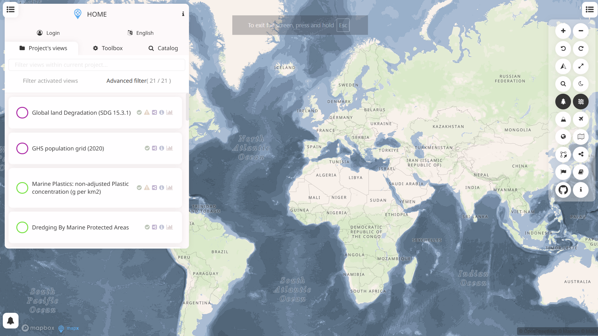
MapX
This MapX project is part of an open-source web platform for managing, analysing and visualising geospatial data. It enables interactive mapping of spatial datasets and statistics within themed projects, supporting environmental, resource and risk assessments through layered maps and related tools.
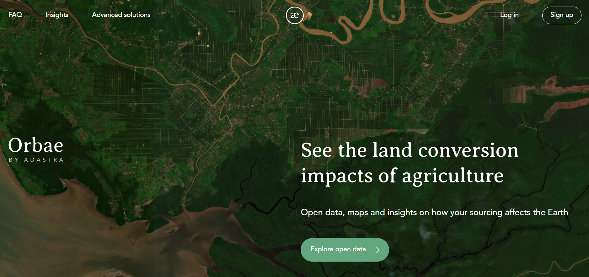
Orbae
Orbae is an open-data platform by AdAstra Sustainability that quantifies greenhouse gas emissions from agricultural land-use change. It provides high-resolution, spatially explicit data to assess land conversion impacts across crops, regions and supply chains, supporting climate risk analysis, reporting and sustainable finance decision-making.
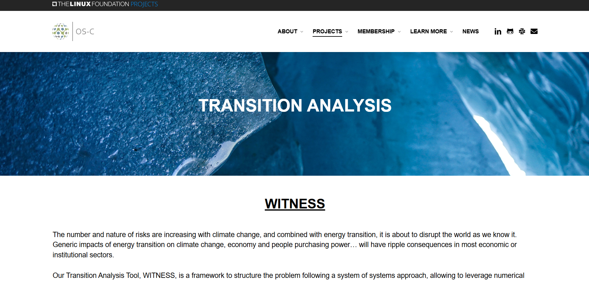
OS-Climate: Transition Analysis
OS-Climate Transition Analysis is an open-source scenario-modelling tool that simulates economic, energy and climate system interactions. It supports assessment of transition risks, technology pathways and investment trade-offs under alternative decarbonisation scenarios for financial and strategic analysis.
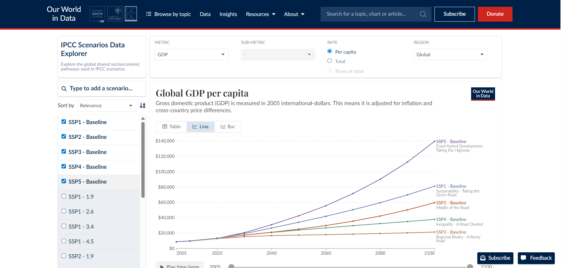
IPCC Shared Economic Pathways (SPPs)
An interactive data explorer for the Shared Socioeconomic Pathways (SSPs) used in IPCC climate modelling, allowing comparison of socioeconomic and emissions trajectories under different future scenarios. It presents scenario data on population, economy, energy and related variables to analyse possible climate outcomes.
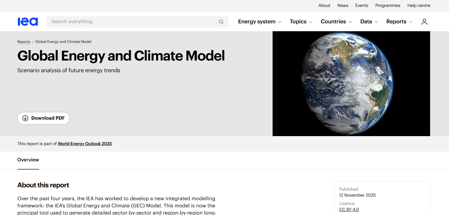
IEA Global Energy and Climate Model
The Global Energy and Climate Model is an integrated analytical tool developed by the International Energy Agency to assess long-term global energy systems. It supports scenario analysis of energy demand, supply, investment and emissions under different policy and technology pathways.