Overview
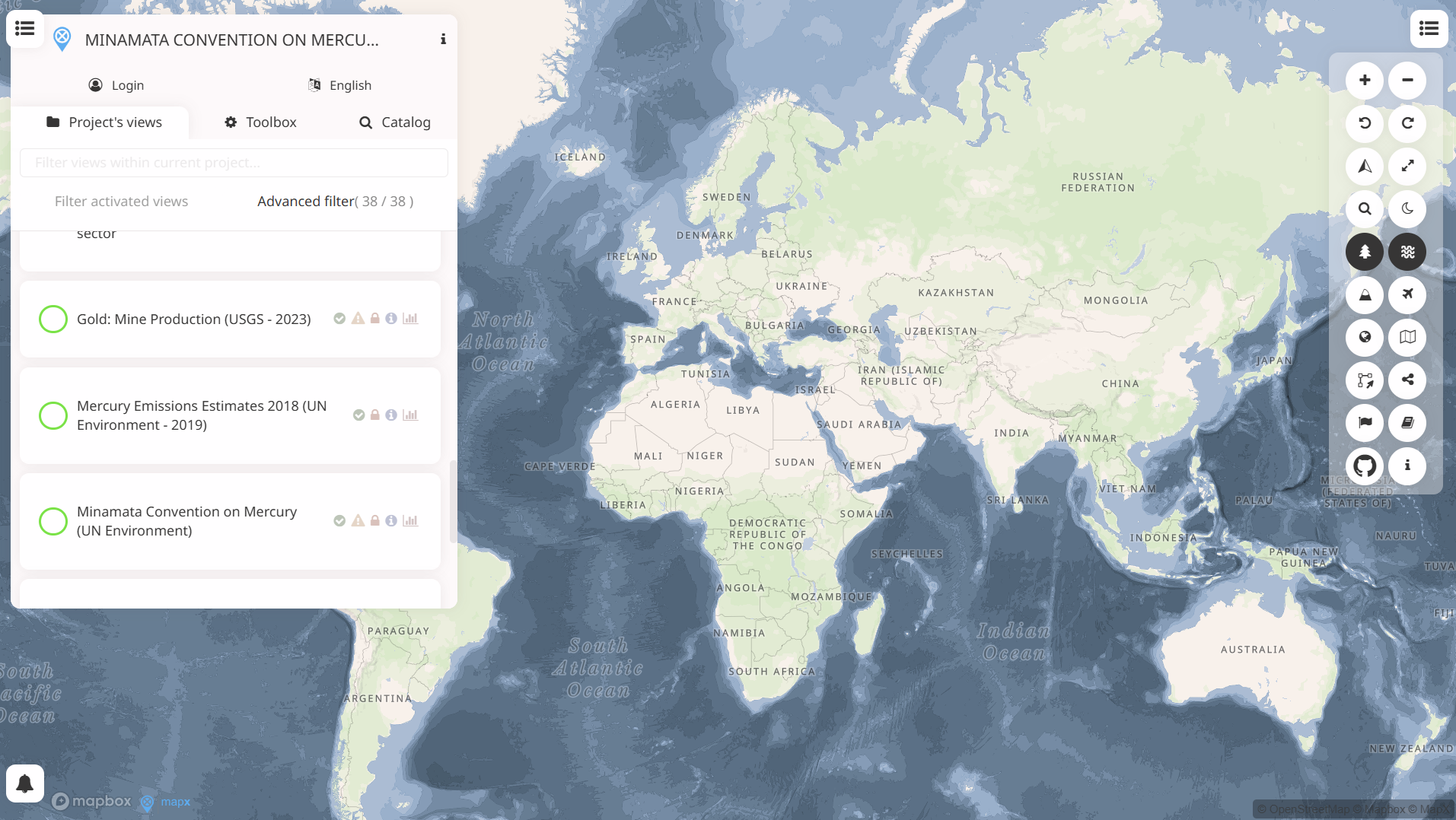
MapX is an open-source, cloud-based geospatial platform for managing, analysing and visualising spatial data on natural resources and environmental factors. It aggregates authoritative datasets at local, national and global scales and supports custom maps, dashboards and story maps to explore and communicate information. Finance professionals may find it relevant for risk analysis, environmental, social and governance (ESG) assessments and investment decision-making where spatial context matters.
Organisation behind the tool
MapX was developed and is maintained by GRID-Geneva, part of the United Nations Environment Programme (UNEP/GRID-Geneva). It is supported through partnerships with the UN and other international stakeholders and is offered as an open-source platform for global use.
What the tool does
Key functions and features of MapX include:
- Web-based platform for visualising and analysing geospatial data on natural resources and the environment.
- Aggregates spatial datasets at multiple geographical scales (site, national, regional, global).
- Tools for customising and exporting maps, including a map composer for layout control.
- Dashboards for dynamic indicator monitoring and data visualisation.
- Story map engine to combine narrative with interactive maps for communication.
- Data integrity framework and metadata descriptions to support quality and transparency.
- Supports data upload, visual queries, overlay analysis and exports in common formats.
Target audience
Primary intended users:
- Government agencies and policymakers working on natural resource management and environmental planning.
- UN bodies and international organisations involved in sustainable development and monitoring.
Other relevant audiences:
- Researchers and academics using spatial data for environmental and social analyses.
- Civil society groups and non-governmental organisations engaged in land use, disaster risk and biodiversity planning.
- Private sector stakeholders requiring spatial context for risk or investment decisions.
Relevance to finance professionals
MapX can support finance professionals in the following areas:
Risk assessment
- Spatial identification of environmental hazards and exposures.
- Overlay of risk layers with infrastructure or asset locations for impact analysis.
ESG analysis
- Environmental metrics for reporting and disclosure.
- Visualisation of ecosystem, biodiversity and land-use data relevant to sustainability frameworks.
Market/commodity insights
- Spatial trends in natural resources (e.g. minerals, water, land cover) that may influence commodity markets.
- Geospatial context for agricultural and energy sector planning.
Investment context
- Long-term environmental and socio-economic trends useful for scenario analysis.
- Evidence base for prioritising sustainable investments or monitoring impacts.
The platform’s ability to integrate diverse spatial datasets with analytical and visual tools can enhance due diligence, scenario modelling and reporting in environmental and sustainability-linked finance.