Developed by:
The tool originates from the Centre for Disaster Management and Risk Reduction Technology (CEDIM), an interdisciplinary research centre at the Karlsruhe Institute of Technology (KIT).
Target audience:
It serves researchers, decision‑makers, industry professionals—including insurance and finance sectors—and the interested public seeking spatial insights into natural hazard risks.
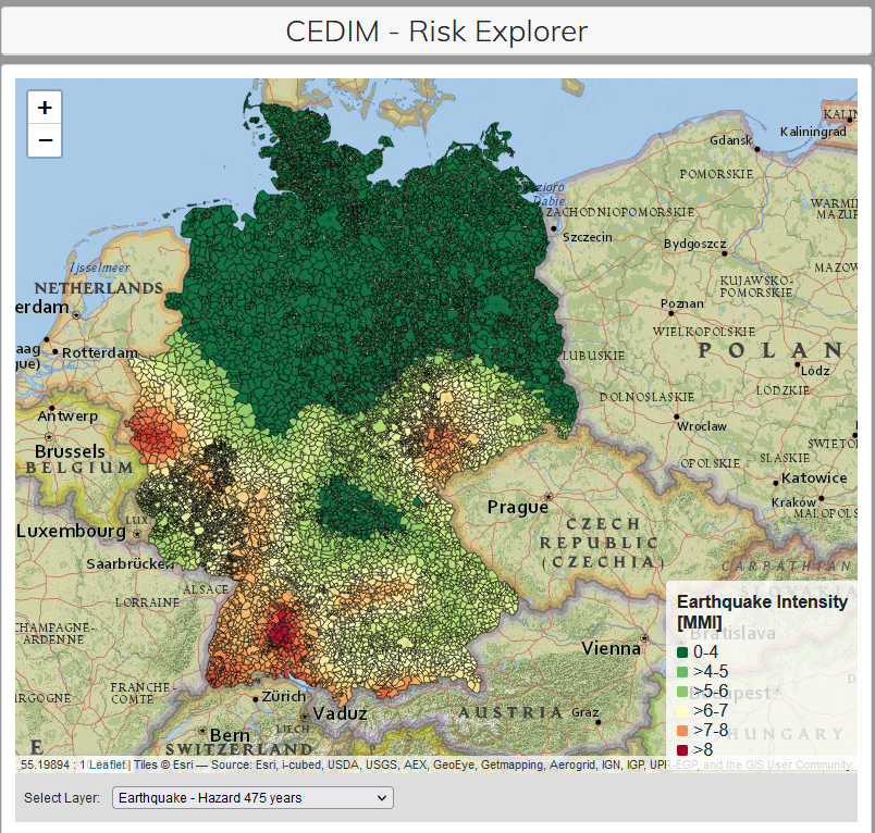
Purpose and functionality:
The Risk Explorer is a publicly accessible, web‑based mapping application. It enables users to interactively view and compare maps showing hazards (e.g. likelihood of earthquakes, winter storms, floods), vulnerability (percentage loss estimates), risk (expected monetary losses), and asset distributions across Germany.
Relevance to finance professionals:
- It quantifies spatial risk in monetary terms, aiding in risk assessment.
- Supports models for underwriting, pricing and capital allocation.
- Enhances scenario planning by offering return‑period analysis and loss estimates for 50‑, 100‑, 500‑year events.
- Facilitates informed investment decisions and stress testing by identifying geographically concentrated vulnerabilities.