Library | ESG issues
Agriculture, Forestry & Other Land Use
Land use for agriculture, forestry, and related activities plays a critical role in food security, biodiversity, and climate impact. As a major contributor to global emissions, land use faces challenges such as resource depletion, waste, and chemical overuse, which threaten ecosystems and long-term productivity. Sustainable practices are essential for maintaining soil health, ensuring food supply, preserving forests, and supporting farmers and rural communities. Effective land management can mitigate environmental and social risks while creating opportunities for innovation and long-term economic stability.
Refine
231 results
REFINE
SHOW: 16

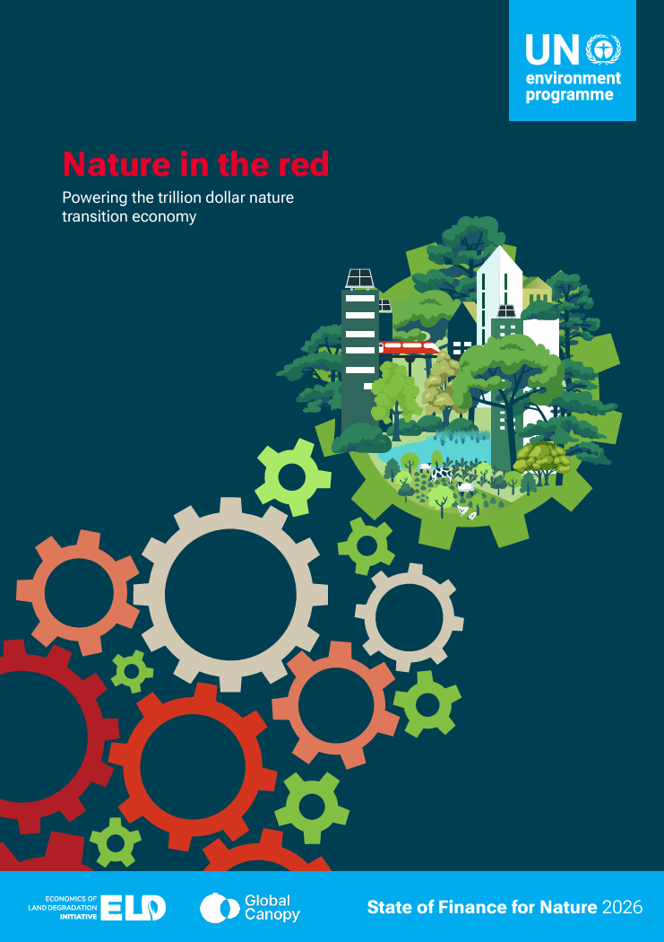
State of finance for nature 2026: Nature in the red: Powering the trillion dollar nature transition economy
UNEP’s State of Finance for Nature 2026 finds global finance remains heavily skewed towards nature-negative activities. In 2023, US$7.3 trillion harmed nature versus US$220 billion for nature-based solutions. Meeting Rio Convention targets requires more than doubling nature investment by 2030.
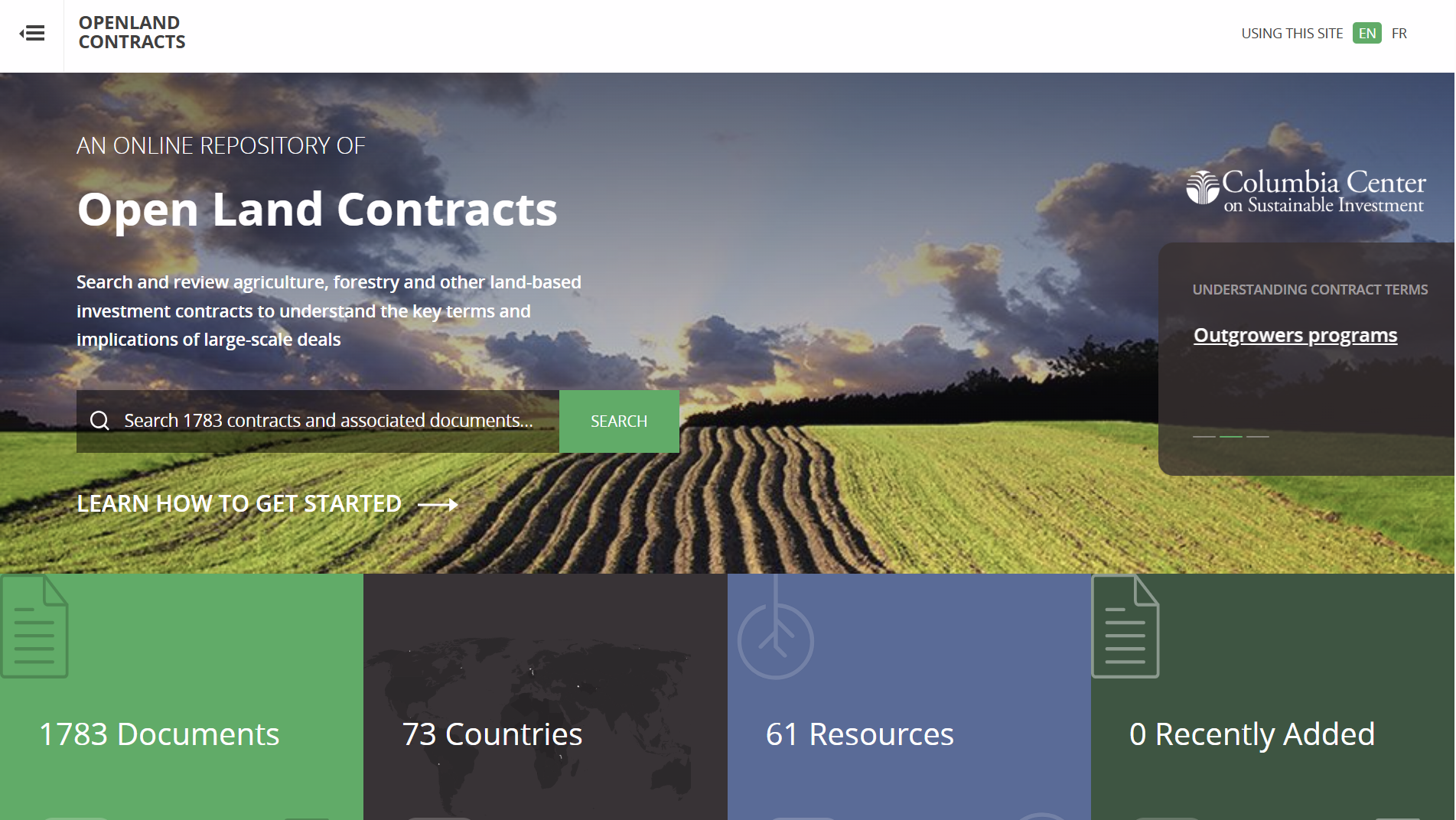
Open Land Contracts Database
OpenLandContracts.org is an online, searchable repository of publicly available contracts and related documents for large-scale land, agriculture, forestry and renewable energy investments. It provides full texts and annotated summaries of key social, environmental, fiscal and operational terms to support analysis, comparison and transparency.
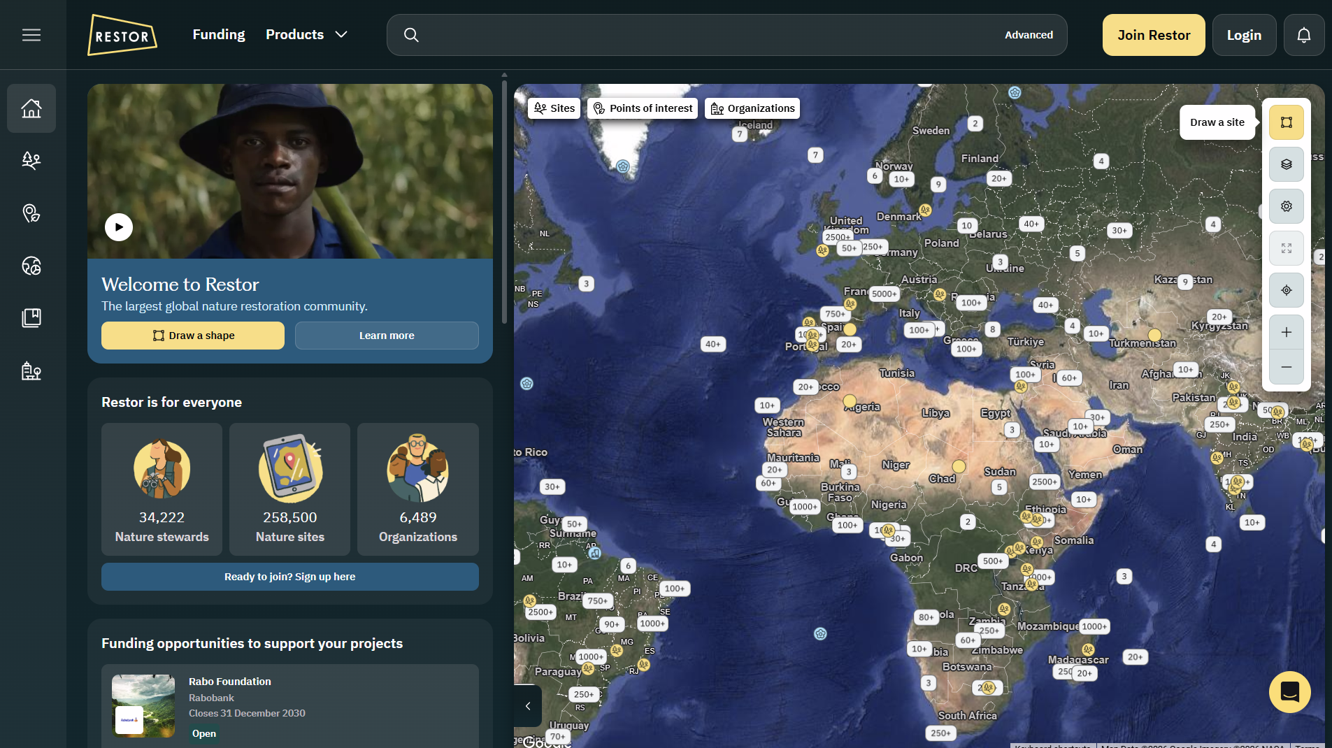
Restor
Restor.eco is an open-data geospatial platform that maps and analyses global nature restoration and biodiversity projects, offering environmental datasets, impact tracking, funding opportunities and reporting tools to support transparent ecosystem restoration and conservation efforts worldwide.

Restor
Restor is an open-access digital platform supporting ecosystem restoration and biodiversity monitoring worldwide. It integrates spatial data, science-based tools, and community networks to track restoration progress, assess ecological impact, and inform decision-making for practitioners, researchers, investors, and policymakers involved in nature and biodiversity outcomes across terrestrial and marine landscapes globally.
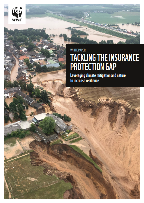
Tackling the insurance protection gap: Leveraging climate mitigation and nature to increase resilience
This white paper analyses how climate change and nature loss are widening insurance protection gaps in advanced economies. It outlines impacts on affordability and coverage, and recommends combining climate mitigation, nature-based solutions, and regulatory reforms to strengthen resilience and maintain insurability.
Swiss Data Cube
The Swiss Data Cube is a national platform providing consistent, long-term Earth observation data for Switzerland. It supports environmental monitoring, trend analysis, and evidence-based decision-making relevant to climate, land use, and natural resource management.
FIRMS Fire Information for Resource Management System
NASA’s Fire Information for Resource Management System (FIRMS) provides global near-real-time satellite data on active fires and thermal anomalies, viewable via interactive maps, alerts and downloadable files. It uses MODIS and VIIRS instruments to detect fire locations and deliver data within hours for monitoring, analysis and decision-making.
Food systems investing in East Africa: The roles of funds in financing food systems transformation
This report analyses 23 impact funds investing in East African food systems, assessing their design, impact alignment, and financing roles. It identifies gaps, good practices, and recommendations to strengthen agroecological and regenerative food systems investing.
Creating a sustainable food future
The report assesses how to feed nearly 10 billion people by 2050 while limiting land expansion and emissions. It identifies food, land and greenhouse gas gaps, and proposes 22 solutions spanning demand reduction, productivity gains, ecosystem protection, fisheries growth and agricultural emissions mitigation.
Corporate manual: For setting science-based targets for nature
This manual provides practical guidance for companies to set science-based targets for nature, outlining a structured, science-led process to assess impacts, prioritise actions, and set targets across land, freshwater, climate, and biodiversity, supporting credible, transparent corporate sustainability action.
Climate change impacts increase economic inequality: Evidence from a systematic literature review
This systematic review of 127 studies finds consistent evidence that climate change worsens economic inequality, disproportionately affecting poorer countries and households. Impacts arise across sectors and regions via channels such as reduced labour productivity and agricultural losses, with strong agreement that effects are regressive.
The Other Half of the Transition: Why Livestock Deserves as Much Attention as Energy
This article highlights the major climate impact of livestock and explains why the absence of clear roadmaps, metrics, and financing strategies has left the sector far behind the energy transition. It proposes policy reforms, mitigation hierarchies, and justice-centered pathways to unlock effective and equitable change.

Conservation International (CI)
Conservation International (CI) is a global non-profit that champions nature conservation to benefit both biodiversity and human societies. It uses science, fieldwork, policy and finance to protect critical land and marine ecosystems. Since 1987, CI has helped safeguard 13 million km² of land and sea across more than 70 countries.

World Database on Protected and Conserved Areas (WDPCA)
World Database on Protected and Conserved Areas (WDPCA): A global database maintained by UNEP‑WCMC (in partnership with IUCN and other bodies), combining terrestrial, inland-water, coastal and marine protected areas and other effective area-based conservation measures (OECMs).
Missing ingredients: How agriculture and diet get overlooked in media coverage of climate change
The report finds agriculture particularly animal agriculture and diet, receives disproportionately little climate coverage. Only small fractions of articles mention meat or dietary shifts, despite their emissions significance. Coverage is declining overall, limiting public awareness and policy momentum. The analysis urges more accurate, comprehensive reporting on food-system climate impacts.

Agriculture sector climate change scenarios
The report outlines climate change scenarios for New Zealand’s agriculture sector, assessing physical and transition risks across regions and farm systems. It presents orderly, disorderly and hothouse futures, highlighting impacts on production, land use and communities, and providing a foundation for sector-wide resilience planning and adaptation.