Library | Finance relevance
Insurance and risk professionals
Refine
346 results
REFINE
SHOW: 16

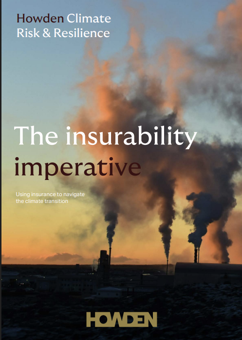
The insurability imperative: Using insurance to navigate the climate transition
This report argues that insurability is a strategic indicator of financial viability in a climate-disrupted economy. It explains how insurance, risk modelling, resilience investment, and policy alignment shape access to capital, asset values, and transition finance, urging leaders to embed insurability into decision-making.

United Nations Human Rights Council
United Nations Human Rights Council (UNHRC) is an intergovernmental body within United Nations system made up of 47 Member States responsible for the promotion and protection of all human rights around the globe. It addresses human rights issues, themes, and violations throughout the year and meets regularly in Geneva, Switzerland.
Green finance was supposed to contribute solutions to climate change. So far, it’s fallen well short
The article argues that while climate disclosure and green finance initiatives have expanded since Mark Carney’s “tragedy of the horizon” speech, they have failed to shift capital at the scale required to address climate and nature risks. It contends that deeper structural reforms to financial valuation, incentives and capital allocation are needed to move beyond managing symptoms toward financing real-world solutions.
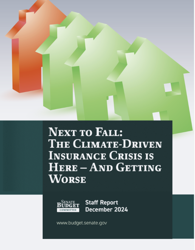
Next to fall: The climate-driven insurance crisis is here and getting worse
The report analyses U.S. homeowners’ insurance non-renewals, showing strong links between climate risks, rising premiums, and declining coverage. It finds coastal and wildfire-exposed regions face pronounced instability, with risks spreading inland. The Committee warns that worsening insurability could erode property values and trigger broader financial impacts.
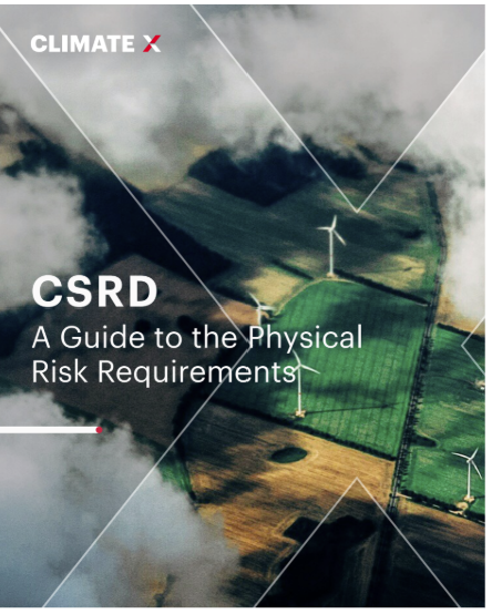
CSRD: A guide to the physical risk requirements
This guide explains Corporate Sustainability Reporting Directive physical risk requirements, detailing scope, timelines and ESRS E1 disclosures. It outlines how organisations must identify, assess and report climate-related physical risks, financial impacts and adaptation actions, with a focused application to real estate portfolios.
Trillions or billions: Reassessing the potential for european institutional investment in emerging markets and developing economies
The report finds European pension funds and insurers have limited capacity to scale EMDE investment. Even doubling allocations by the 35 largest asset owners would yield about USD 120 billion annually, concentrated in investment-grade assets. Regulation constrains insurers more than pension funds.
Climate X
Climate X is a climate risk analytics company providing asset-level physical climate risk data and scenario analysis. It supports financial institutions, insurers and corporates with decision-making, stress testing and regulatory alignment using proprietary climate models and geospatial intelligence.

Sustainable Finance Roundup December 2025: Nature, Regulation, and the Hardening of Risk
This month’s sustainable finance roundup traces the shift from ambition to enforcement, as climate and nature risks become financial, regulatory and legal realities. It covers Australia’s environmental law reforms, the embedding of climate and nature risk through prudential supervision, disclosure and shareholder pressure, and insurer warnings on the limits of insurability. It also highlights how markets are responding to deforestation and biodiversity risk, and how litigation and regulation are reshaping governance and long-term financial resilience.
Investing in tomorrow: A guide to building climate-resilient investment portfolios
This guide outlines how investors can integrate physical climate risks into listed equity and debt portfolios, strengthen portfolio resilience, and mobilise capital for adaptation through asset allocation, due diligence, engagement, and collaboration across policy, finance and the real economy.
Combined climate stress testing of supply-chain networks and the financial system with nation-wide firm-level emission estimates
This study utilises comprehensive Hungarian firm-level data to stress-test the economy and banking system against carbon pricing shocks. While direct impacts at €45/t appear minimal, supply chain contagion significantly amplifies losses, potentially by 4000% if essential inputs cannot be substituted. This highlights critical risks in systemic supply network dependencies.
Responsible Digital Finance Ecosystem (RDFE): A conceptual framework
The report outlines a framework for a Responsible Digital Finance Ecosystem, urging holistic, collaborative consumer protection amid rising digital finance risks. It defines ecosystem actors and four pillars—customer centricity, collaboration, capability, and commitment—to strengthen regulation, improve outcomes, and reduce harms in rapidly evolving digital financial services.
Governance of AI adoption in central banks
This BIS report outlines central banks’ AI use cases, associated strategic, operational, cyber and reputational risks, and advocates adapting existing risk-management and three-lines-of-defence frameworks, supported by an adaptive AI governance model and ten practical actions, to balance innovation with security, compliance, data privacy and organisational resilience.
Planetary solvency – finding our balance with nature
This report outlines how climate and nature risks threaten the Earth system that underpins economies and societies. It proposes a Planetary Solvency framework, using risk-led assessment principles to inform policymakers of escalating systemic risks, tipping points and mitigation needs, emphasising the urgency of realistic global risk management to avoid severe disruption.
Sustainable Finance Roundup November 2025: Transition Turning Points and Rising Accountability
This month’s sustainable-finance roundup highlights faster transition momentum, rising physical risks and a tightening focus on accountability. COP30 reinforced expectations for stronger 2035 targets, while national actions underscored diverging paths toward decarbonisation. Markets continued shifting toward clean energy and resilience, and new science made climate harms more visible. With regulatory scrutiny and litigation increasing, transition credibility and real-economy resilience are becoming core drivers of financial risk and investment decisions.
Social benchmark 2024 insights report
This benchmark series assesses the world’s most influential companies on their human rights, decent work and ethical conduct practices. It provides a comparative view of corporate social performance, supporting stakeholders to understand progress, identify gaps and inform actions that contribute to a more inclusive and sustainable global economy.
A legal framework for impact: Sustainability impact in investor decision-making
The report analyses how legal frameworks across major jurisdictions shape investors’ ability to pursue sustainability impact. It clarifies when impact-focused approaches are permitted or required and outlines policy options to support them. It provides guidance for aligning investment decisions with sustainability goals while maintaining financial objectives.