Library | ESG issues
Climate Change
Climate change, driven by human-induced greenhouse gas (GHG) emissions, is increasing global temperatures and extreme weather events. Major GHGs like carbon dioxide and methane primarily come from burning fossil fuels, deforestation, and agriculture. Key sectors contributing to emissions include energy, industry, transport, buildings, and land use, making mitigation and adaptation essential for environmental and economic stability.
Team Altiorem recommends
Refine
975 results
REFINE
SHOW: 16

Sustainable Finance Roundup February 2026: Disclosure, Carbon Trade, and Transition Economics
This month’s sustainability roundup traces a rapidly evolving landscape in climate governance and industrial transition, highlighting the convergence of ISSB-aligned disclosure standards and emerging carbon trade measures alongside shifting cost curves in transport and critical minerals. It underscores how tighter emissions accounting and border policies are embedding carbon competitiveness into capital allocation, while advances in electrification, AI-driven power demand and expanding legal accountability are integrating climate and nature risk into mainstream financial decision-making.
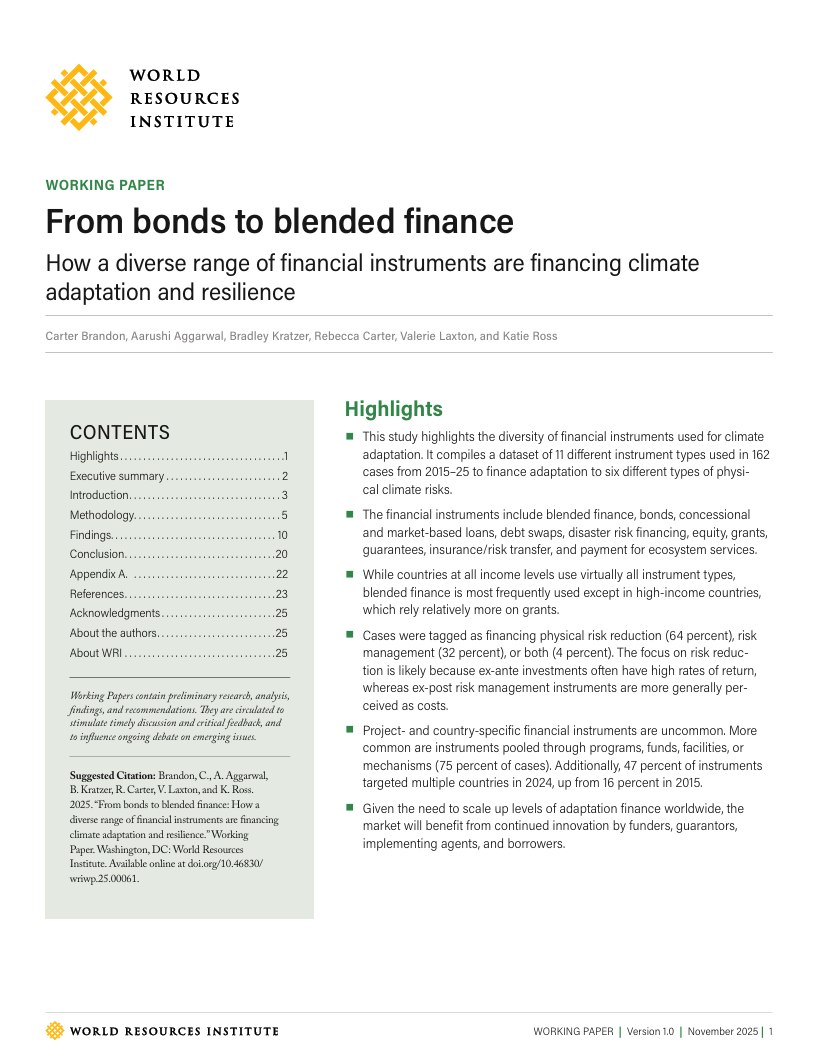
From bonds to blended Finance: How a diverse range of financial instruments are financing climate adaptation and resilience
Analyses 162 cases (2015–2025) of 11 financial instruments financing climate adaptation. Finds blended finance most prevalent, with instruments mainly supporting ex-ante risk reduction. Adaptation finance is largely pooled and increasingly multicountry. Use varies by income level, highlighting growing innovation to mobilise capital for resilience.
Understanding climate finance for resilient infrastructure
This expert guide outlines the rationale, tools and barriers for mobilising climate finance to deliver resilient infrastructure. It examines adaptation and mitigation finance, funding gaps, economic benefits, and stakeholder roles, supported by case studies demonstrating blended finance, insurance and public–private approaches in developing and developed contexts.
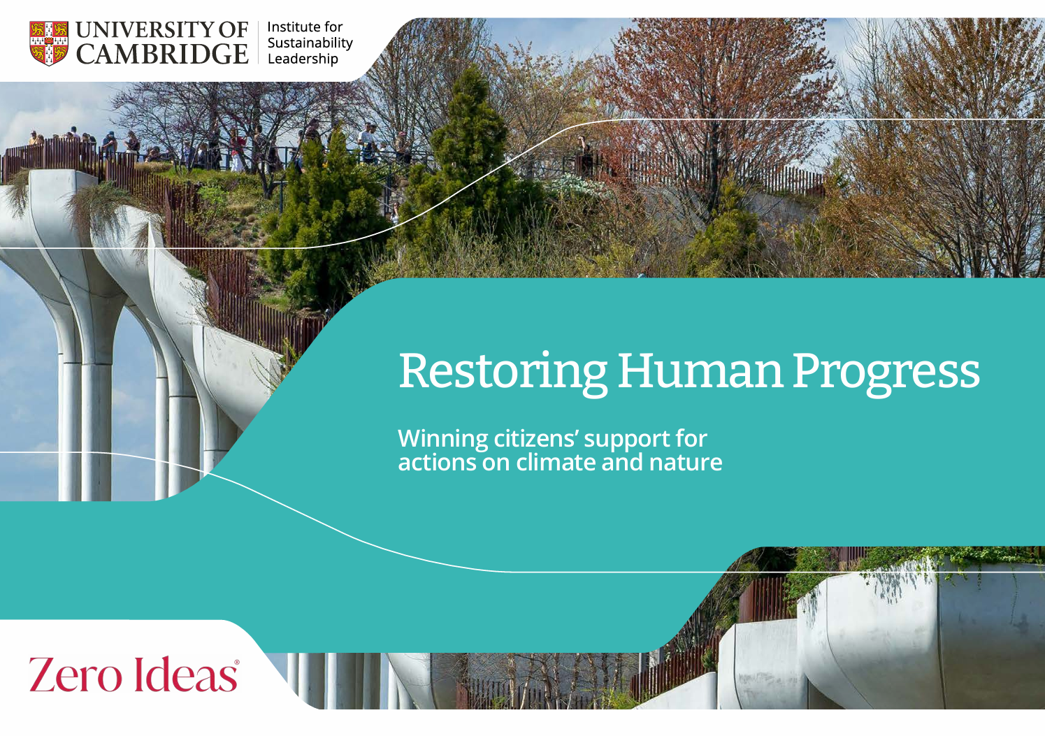
Restoring human progress: Winning citizens’ support for actions on climate and nature
This report argues that despite widespread concern about climate and nature, durable policy support depends on restoring belief in human progress. Drawing on surveys and literature, it proposes three principles: deliver meaningful sectoral gains, play to national strengths, and make progress visible to build optimism, agency and sustained public backing.
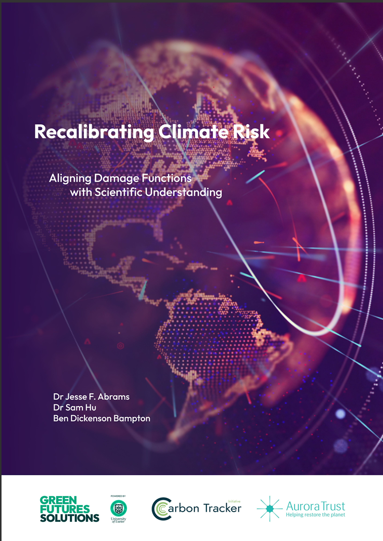
Recalibrating climate risk: Aligning damage functions with scientific understanding
This report argues climate damage functions systematically underestimate risks by relying on smooth, GDP-centred models. Drawing on expert elicitation, it highlights nonlinear, cascading and tail risks, tipping points, and limits to growth. It recommends recalibrating modelling and financial supervision towards precaution, systemic resilience and transparent uncertainty.

Aurora Trust
Aurora Trust is a UK-based grant-making charity focused on climate change mitigation, environmental conservation and sustainable development. Part of the Sainsbury Family Charitable Trusts, it funds programmes in nature connection, sustainable farming, stopping deforestation and energy efficiency to support efforts aligned with the Paris Agreement’s 1.5 °C goal.
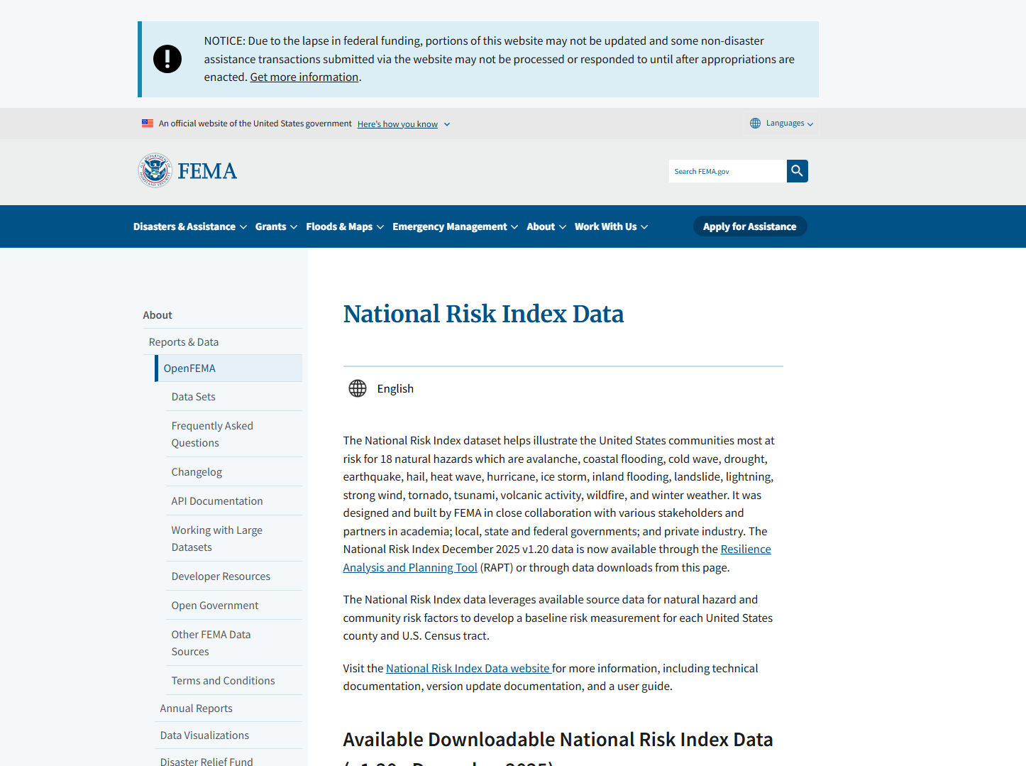
OpenFEMA National Risk Index Data
The OpenFEMA National Risk Index Data is a dataset that shows which United States communities are most at risk from 18 natural hazards, using measures of expected annual loss, social vulnerability and community resilience. Data are available for counties and Census tracts and can be downloaded for analysis.
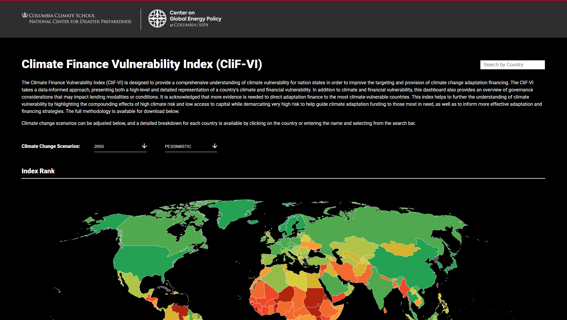
Climate Finance Vulnerability Index (CliF-VI)
The Climate Finance Vulnerability Index (CliF-VI) is a data-driven global tool that assesses nations’ climate risk alongside their financial capacity to respond, helping guide adaptation financing. It combines climate, financial and governance indicators in an interactive dashboard to inform equitable allocation of climate adaptation funds.
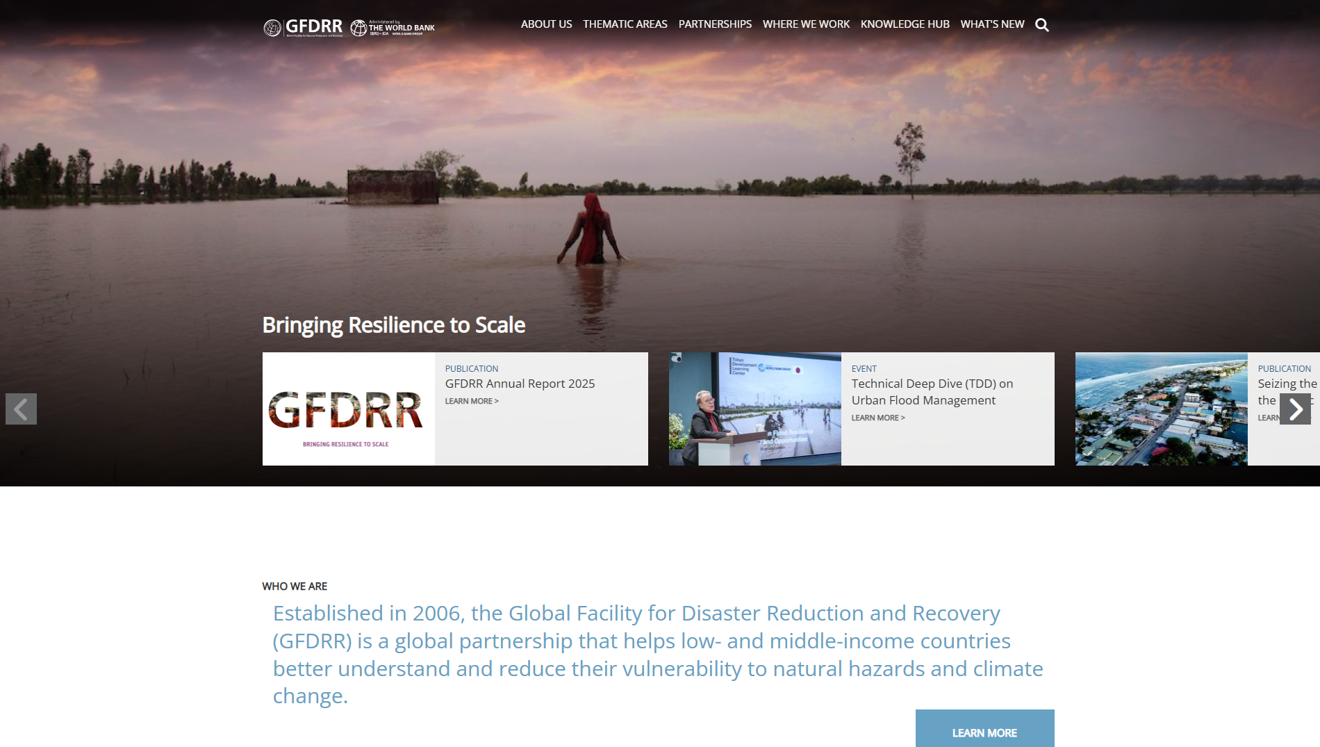
Global Facility for Disaster Reduction and Recovery (GFDRR)
The Global Facility for Disaster Reduction and Recovery (GFDRR) is a World Bank-managed, multi-donor partnership that provides grants, technical assistance and tools to help low- and middle-income countries understand, manage and reduce disaster and climate risks. It supports resilience planning, risk analytics and disaster risk management integration into development.
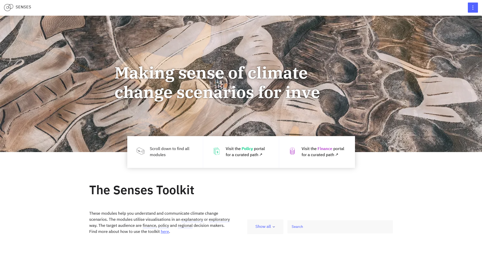
SENSES Toolkit
The SENSES Toolkit is an interactive online platform offering modules to learn about, visualise and explore climate change scenarios. It supports decision-makers in understanding scenario approaches, climate impacts, mitigation and adaptation pathways, with practical guidelines for policy, finance and regional users.

Wageningen University & Research (WUR)
Wageningen University & Research (WUR) is a leading Dutch academic institution focused on sustainable food systems, climate change, biodiversity, agriculture and environmental science.
It combines university education with applied and fundamental research to address global challenges in nutrition, health, water and circular bioeconomy. WUR partners with industry and governments worldwide.
It combines university education with applied and fundamental research to address global challenges in nutrition, health, water and circular bioeconomy. WUR partners with industry and governments worldwide.
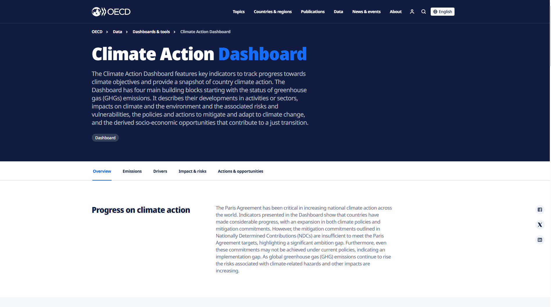
OECD Climate Action Dashboard
The OECD Climate Action Dashboard is an interactive tool showing key indicators of national climate action and progress towards objectives such as net-zero greenhouse gas emissions. It provides comparable, country-level data to track climate mitigation, emissions trends and policy responses.
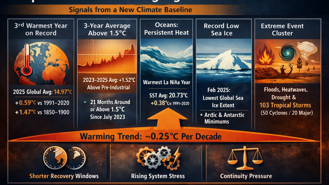
PerilScope: Strategic Deep Dive Copernicus Global Climate Highlights 2025 — From Records to Operating Conditions in the 3°C World SRP® Frame
The article interprets Copernicus’s Global Climate Highlights 2025 as a shift from episodic extremes to a structurally warmer, more volatile baseline. It argues that persistent temperature exceedances, ocean heat, cryosphere decline, and overlapping hazards demand a move from climate risk awareness to disciplined adaptation and continuity planning.
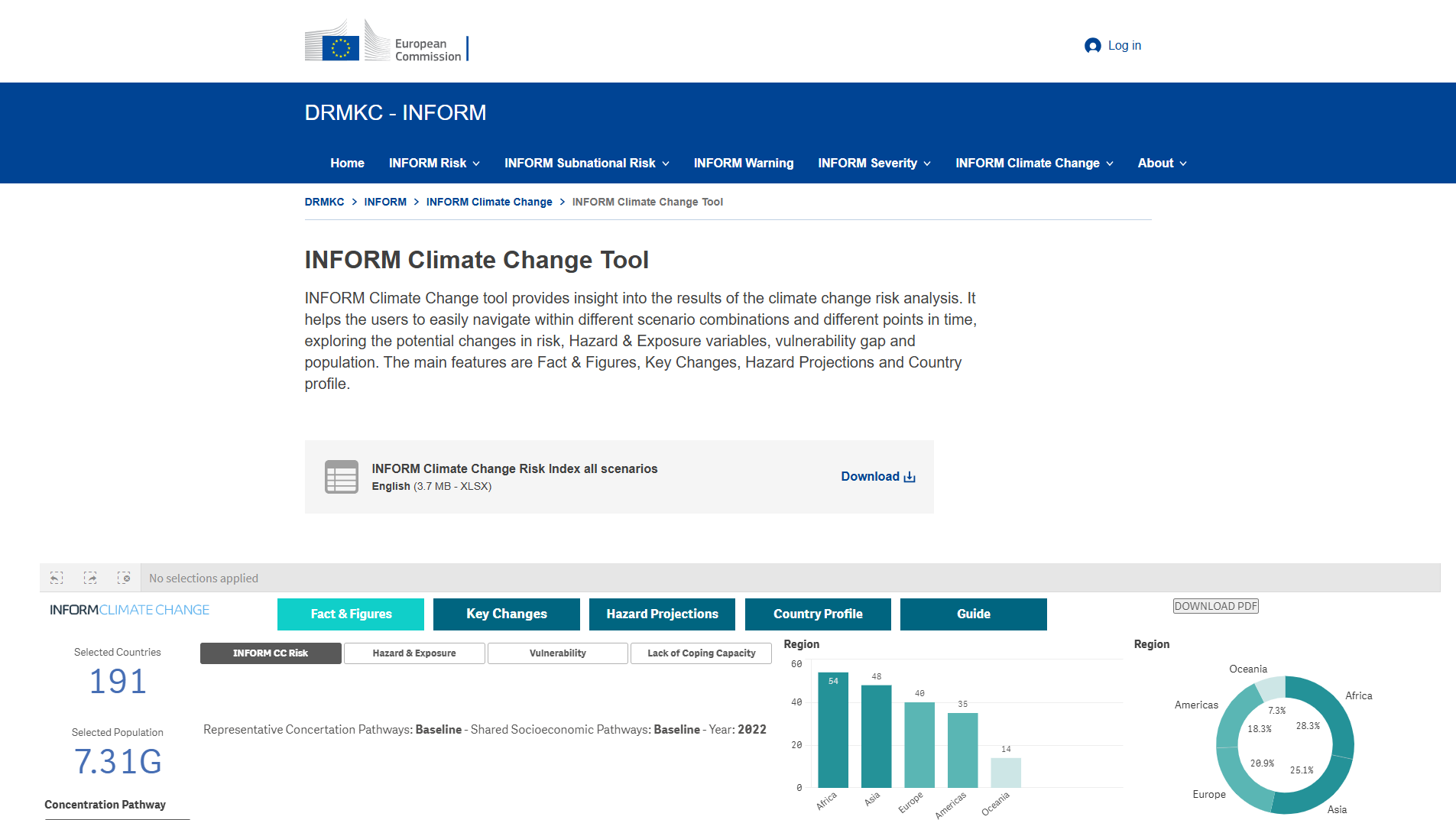
INFORM Climate Change tool
INFORM Climate Change Tool visualises climate-change risk projections, letting users explore future risk, hazard & exposure variables, vulnerability gaps and population changes under different scenarios and time points. It supports analysis of climate impacts on humanitarian and disaster risk via scenario comparison and country profiles.
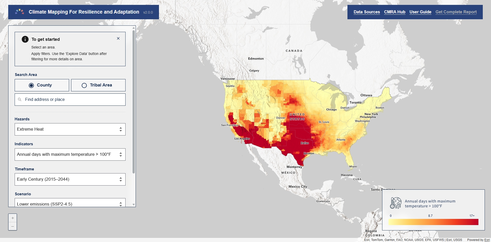
Climate Mapping for Resilience and Adaptation
Climate Mapping for Resilience and Adaptation (CMRA) is a portal that helps users assess local exposure to climate-related hazards using federal data, enabling analysis of past, present and projected climate conditions to support risk assessments and resilience planning.

National Oceanic and Atmospheric Administration (NOAA)
National Oceanic and Atmospheric Administration (NOAA) is a US government science agency focused on understanding and predicting changes in climate, weather, oceans and coasts. It provides environmental data, severe weather forecasting, climate monitoring and marine ecosystem management to support public safety, commerce and research.