
Library | Resource Types
Online tool/database
Tools and databases are resources designed to help members evaluate the sustainability impact and financial performance of investments or business decisions. Tools allow members to assess impact, model scenarios and enable informed decisions that align with sustainability goals.
Refine
292 results
REFINE
SHOW: 16


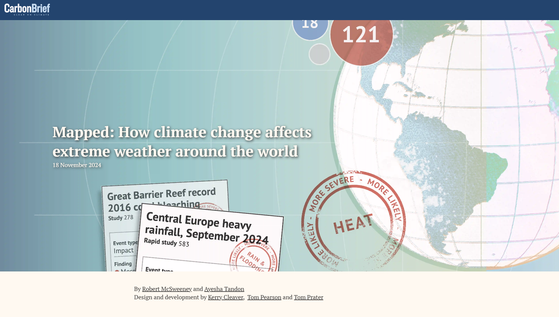
Climate Impact Attribution
Carbon Brief’s Attribution Studies Interactive Map is a searchable database mapping published climate-event attribution research. It shows how climate change influenced the likelihood or severity of extreme weather events globally, categorised by country and event type, with visual indicators of study findings on human-caused warming.
NatureAlign
NatureAlign is a decision-support tool by Nature Finance that helps financial institutions identify, assess and respond to nature-related risks and opportunities by aligning portfolios, strategies and governance with nature-positive outcomes.
Roadmap development tool for adopting ISSB Standards
IFRS Foundation Sustainability Disclosure Standards Roadmap Development Tool is an online resource supporting jurisdictions in planning adoption of IFRS Sustainability Disclosure Standards. It outlines key steps, policy choices, timelines, and implementation considerations to support consistent, decision-useful sustainability reporting aligned with financial markets.
TransitionArc
TransitionArc is a public-facing platform that aggregates leading corporate climate transition data and analysis, enabling comparison of companies’ progress on science-aligned targets and disclosure metrics to support investment, engagement and policy decisions. It streamlines disparate assessments into a coherent view of corporate transition performance
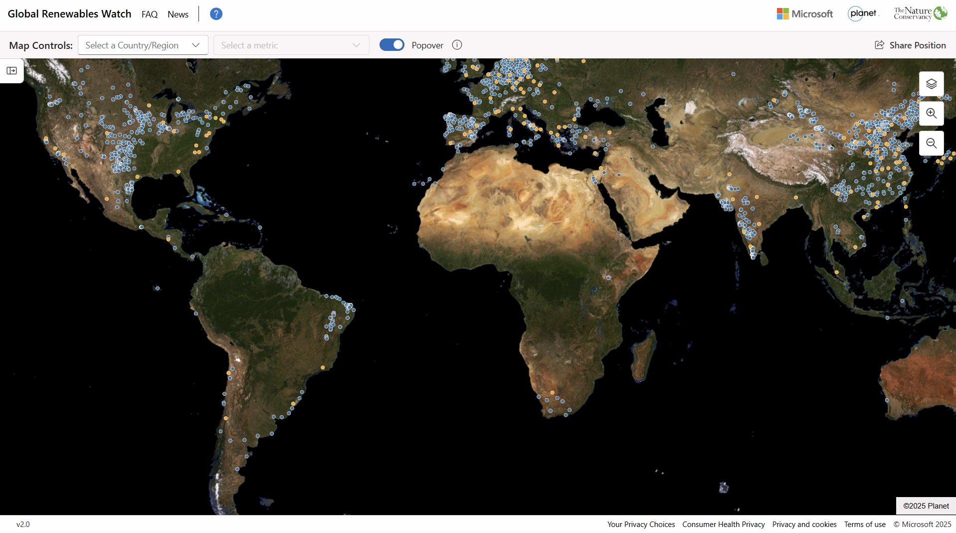
Global Renewables Watch
Global Renewables Watch Atlas is an open, interactive database mapping utility-scale solar and wind projects worldwide. It provides project-level data on location, capacity, and development status to support analysis of renewable energy deployment, infrastructure planning, and investment-related research.
Global Renewables Watch is a project/initiative of Global Energy Monitor, which acts as the organisational author and is responsible for governance, data production, and oversight.
Global Renewables Watch is a project/initiative of Global Energy Monitor, which acts as the organisational author and is responsible for governance, data production, and oversight.
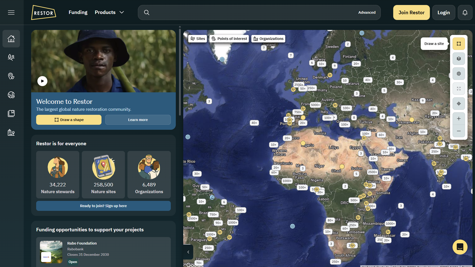
Restor
Restor.eco is an open-data geospatial platform that maps and analyses global nature restoration and biodiversity projects, offering environmental datasets, impact tracking, funding opportunities and reporting tools to support transparent ecosystem restoration and conservation efforts worldwide.
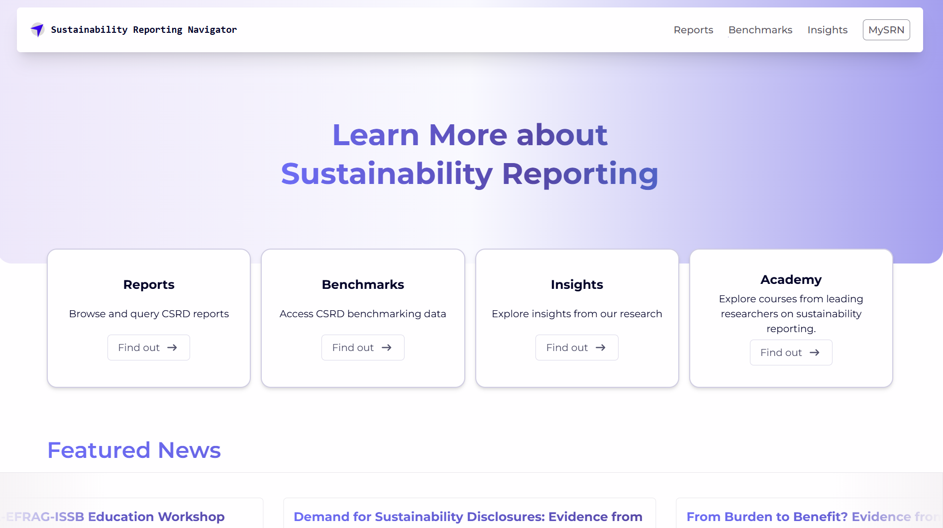
Sustainability Reporting Navigator
Sustainability Reporting Navigator (SRNAV) is an online database and benchmarking platform providing access to over 500 mandatory CSRD sustainability reports, interactive comparison tools and research insights to support systematic analysis of corporate sustainability disclosures. It includes a free benchmarking hub for reports and disclosure data under the EU CSRD regime. Accounting Research Centre (ARC) is a research centre operated within the EAA, created to develop and host research tools and databases such as SRNAV.
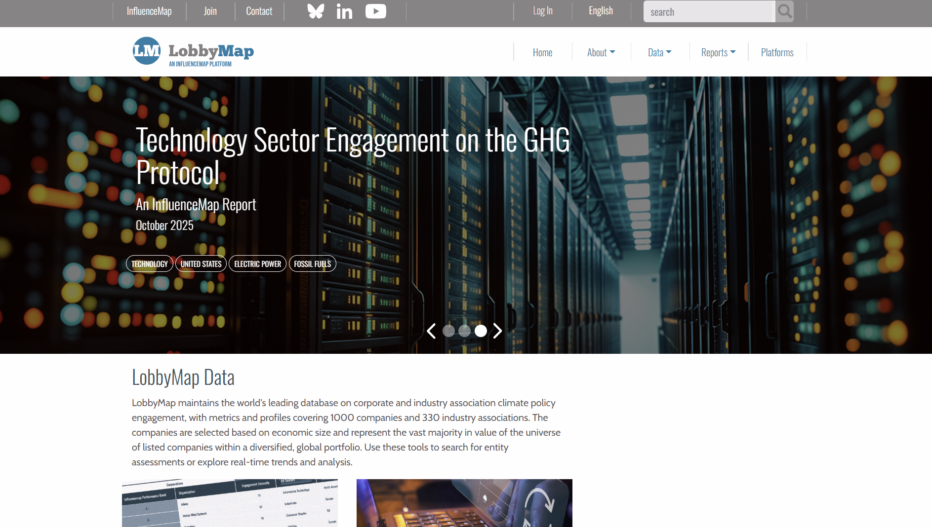
LobbyMap
LobbyMap is an online database that analyses corporate and trade association lobbying on climate and energy policy. It compares stated public positions with lobbying activities to assess alignment, consistency, and potential risks for investors and financial decision-making.
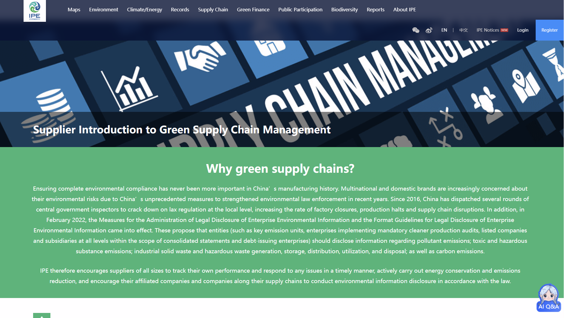
IPE Green supply chain
The Institute of Public & Environmental Affairs Green Supply Chain Supplier Database tracks environmental compliance of Chinese suppliers. It consolidates government violation records and corporate disclosures to support supply chain due diligence, risk screening, and ESG assessment by investors and companies.
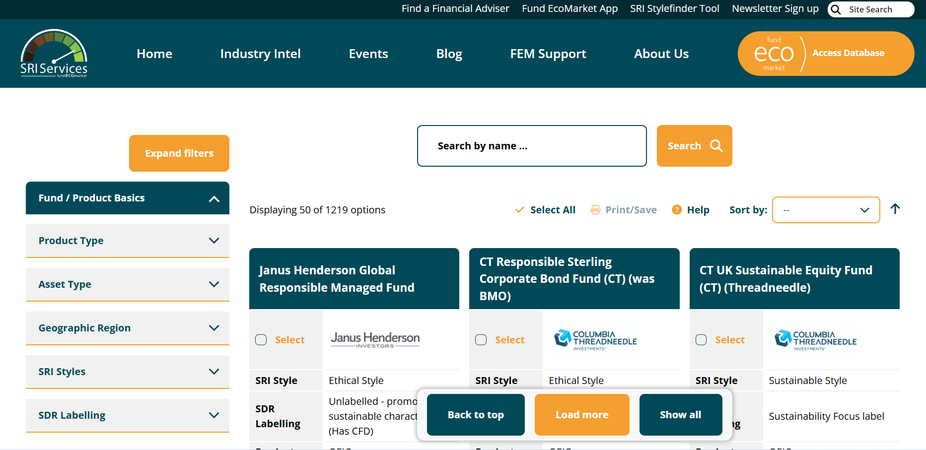
Fund EcoMarket database tool
Fund EcoMarket is a UK-based database offering ESG, impact, and sustainability information on investment funds. It compiles fund-level disclosures to support screening, comparison, reporting, and regulatory alignment for asset managers, advisers, and institutional investors.

Database of Business Enterprises Pursuant to Human Rights Council Resolutions 31/36 and 53/25
A document database maintained by the Office of the United Nations High Commissioner for Human Rights providing structured access to official Human Rights Council documentation from sessions 31–36, including resolutions, reports, and meeting records, for reference, review, and archival research purposes.
GIIN Benchmarks
The IRIS+ Benchmarks tool by the Global Impact Investing Network (GIIN) enables users to compare impact performance across sectors, themes and regions using standardised IRIS+ metrics. It supports performance benchmarking through aggregated data visualisations rather than providing access to raw datasets.
Impaakt
Impaakt is a crowdsourced impact analysis platform that enables investors to assess companies’ environmental, social, and governance performance. It aggregates structured user evaluations to support more transparent, impact-focused investment decision-making.
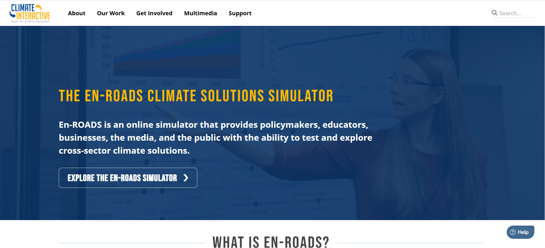
En-ROADS Climate Solutions Simulator
En-ROADS is an interactive global climate and energy policy simulation tool developed by Climate Interactive. It enables users to test policy scenarios and assess impacts on emissions, energy systems and temperature pathways to 2100, supporting climate risk analysis, strategy development and decision-making.
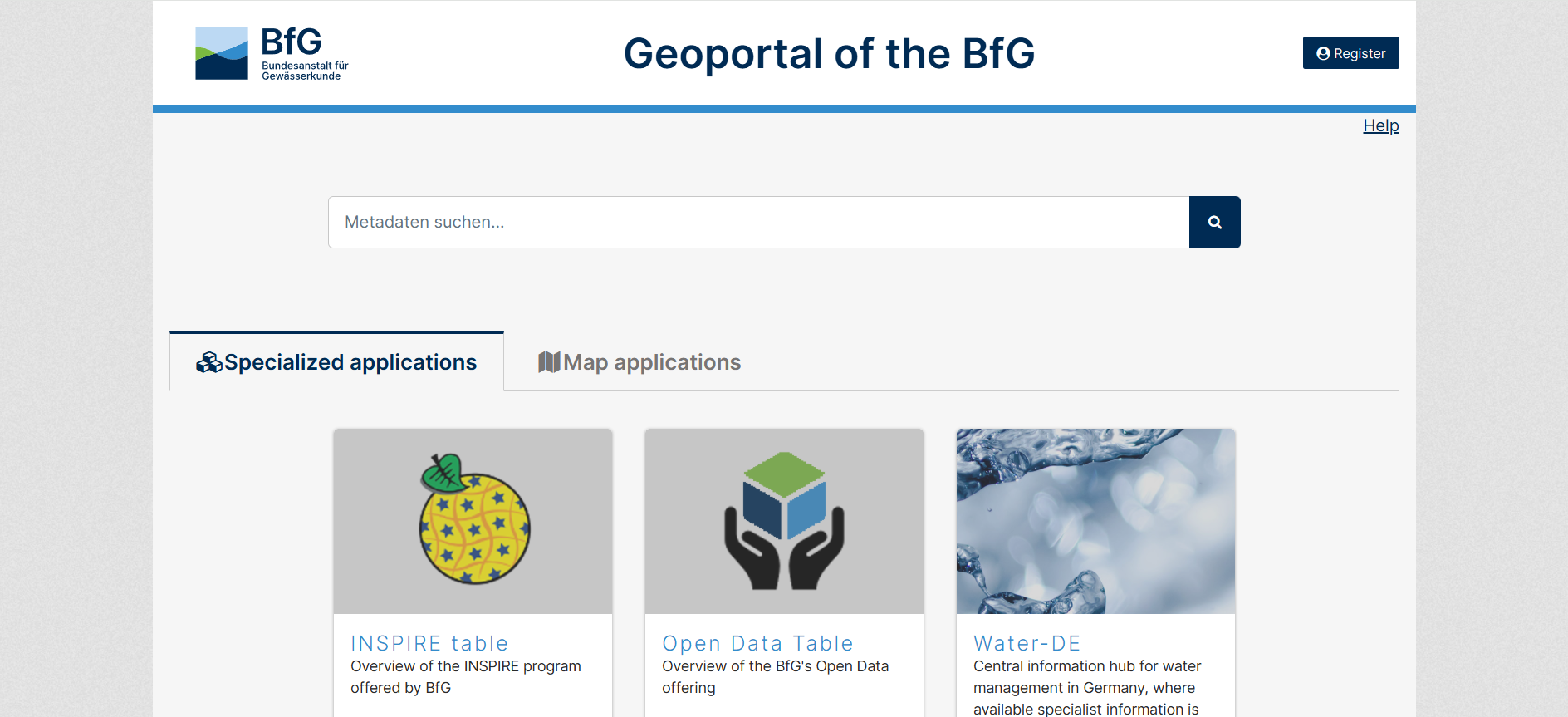
Geoportal of the BfG
The GGInA Geoportal is an online geospatial database operated by Federal Institute of Hydrology. It provides access to hydrological, waterway, and environmental spatial data for Germany, supporting analysis, research, and evidence-based decision-making through interactive maps and metadata services.
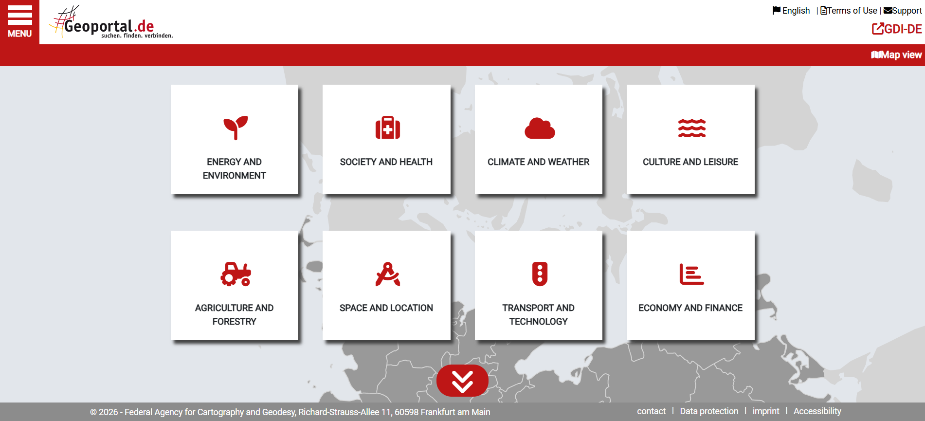
Geoportal.de
Geoportal.de is Germany’s national geospatial data portal, providing centralised access to official maps, datasets, and metadata from federal, state, and local authorities. It supports planning, environmental analysis, infrastructure development, and public-sector decision-making through standardised spatial data services.


