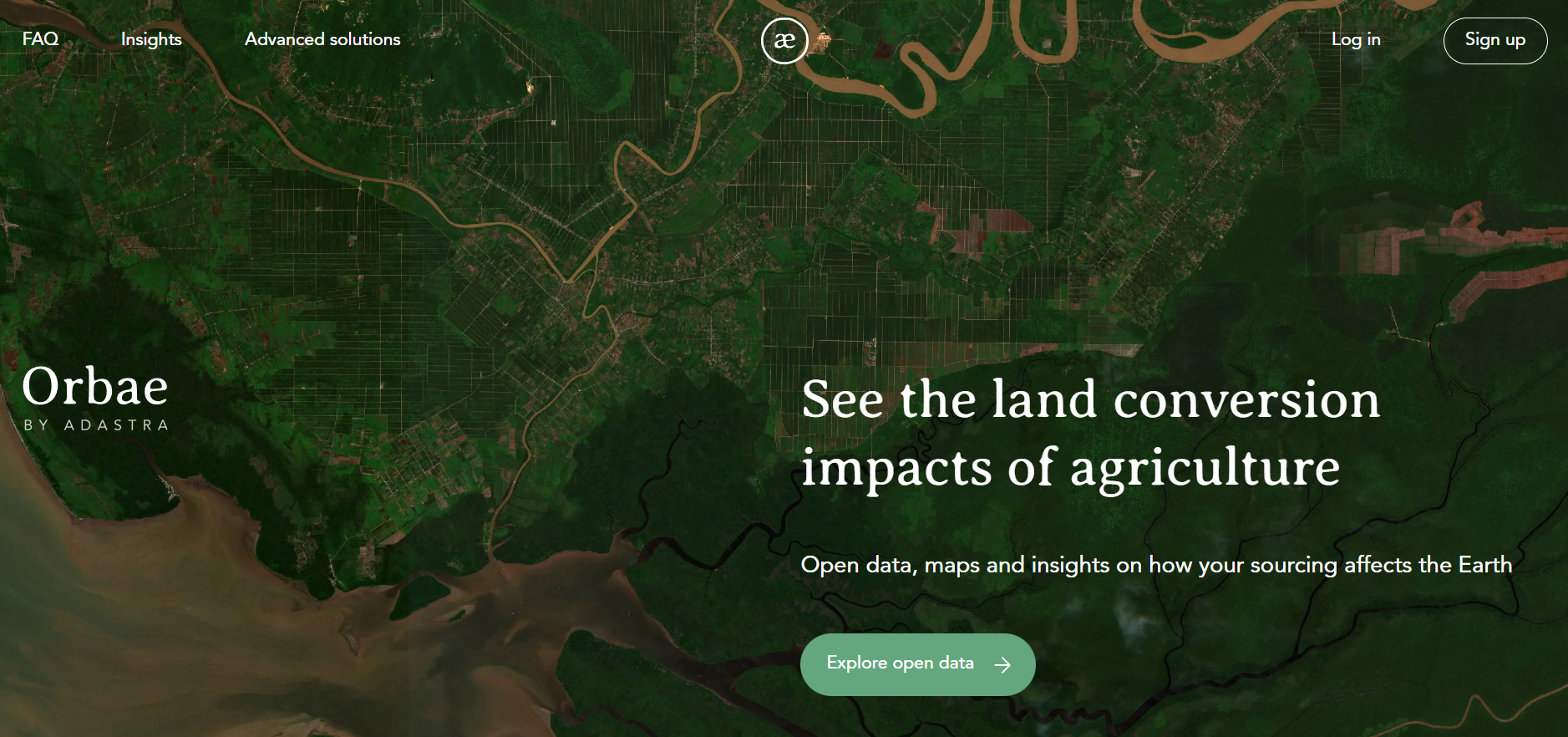
Overview
Orbae is an open-data platform that quantifies environmental impacts of agricultural land conversion, including greenhouse gas emissions, using high-resolution satellite data. It provides spatially explicit metrics for farms, regions and countries. Finance professionals may use it to assess nature-related risks, support climate reporting and inform sustainable investment decisions.
Organisation behind the tool
Orbae is developed and maintained by AdAstra Sustainability, a Swiss organisation specialising in environmental accounting, data science and geospatial analysis. It collaborates with industry partners and supporters to keep the platform’s data open and accessible.
What the tool does
- Provides open land conversion data under Creative Commons licence.
- Calculates land use change emission factors for agricultural commodities at high spatial resolution.
- Generates heatmaps and maps of carbon intensity and land conversion hotspots.
- Covers more than 30 countries and datasets for multiple commodities (e.g. palm, soy, corn).
- Allows users to download data in Excel format.
- Aggregates metrics for any area of interest, such as farms, sourcing regions or jurisdictions.
- Offers an advanced “Pro” version with additional analytics, forest loss trends and product emissions breakdown.
Target audience
Primary users are sustainability teams, commodity analysts and supply chain managers. Other audiences include policymakers, researchers, consultancies and NGOs seeking land use change insights.
Relevance to finance professionals
Risk assessment
- Assess exposure to nature-related risks tied to land conversion in agricultural supply chains.
- Identify geographic and commodity hotspots of high emissions.
ESG analysis
- Support environmental, social and governance reporting with spatially explicit land conversion and emissions data.
- Enhance carbon accounting consistent with standards such as the Greenhouse Gas Protocol and SBTi guidance.
Market/commodity insights
- Analyse land conversion impacts across key agriculture commodities, informing commodity-specific risk and opportunity assessments.
- Compare emission factors across producing regions.
- Investment context
- Inform long-term environmental risk evaluation in portfolios exposed to agriculture and land use change.
- Support integration of nature-related data into sustainable investment frameworks and disclosure processes.