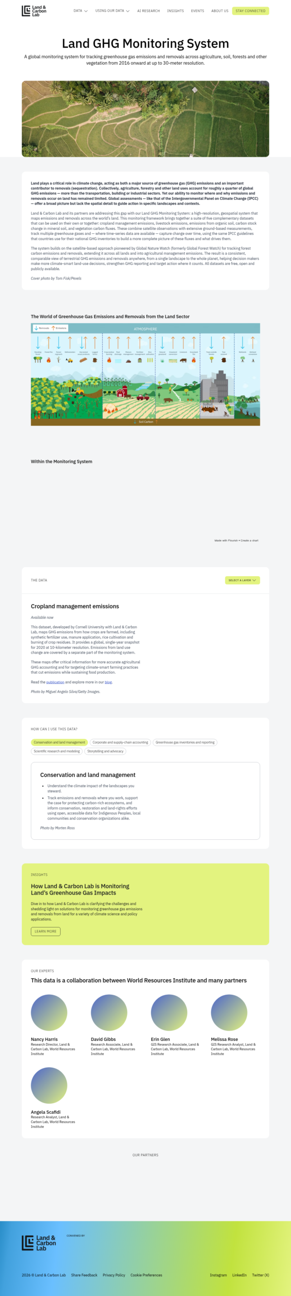
Land GHG Monitoring System
A high-resolution geospatial monitoring system from Land & Carbon Lab and WRI that tracks global greenhouse gas emissions and removals across agriculture, forests, and soils to support corporate accounting and climate-smart land management.
Please login or join for free to read more.

OVERVIEW
The Land GHG Monitoring System is a high-resolution geospatial tool designed to track greenhouse gas (GHG) emissions and removals across global land sectors, including agriculture, forests, and soils. Developed by Land & Carbon Lab and its partners, the system provides data at up to 30-metre resolution from 2016 onwards. It enables finance professionals and decision-makers to identify where and why land-sector emissions occur, supporting climate-smart land-use decisions and more accurate GHG reporting.
Organisation behind the tool
The tool is managed by Land & Carbon Lab, an initiative convened by the World Resources Institute (WRI). Development involved collaboration with Cornell University, OpenGeoHub, and several national soil research institutes. The system builds upon methodologies pioneered by Global Nature Watch (formerly Global Forest Watch).
What the tool does
The system integrates five primary datasets to provide a comprehensive view of terrestrial carbon fluxes:
- Cropland management emissions: Maps GHGs from fertiliser use, manure, and rice cultivation (2020 snapshot).
- Livestock emissions: Estimates methane and nitrous oxide from digestion and manure.
- Organic soil emissions: Tracks emissions from peatlands and disturbed carbon-rich landscapes.
- Soil carbon gain and loss: Monitors organic carbon density changes in mineral soils.
- Vegetation emissions and removals: Provides annual time-series data on biomass carbon changes.
Target audience
The primary users include corporate sustainability officers, national GHG inventory compilers, conservation organisations, Indigenous Peoples, and scientific researchers.
Relevance to finance professionals
- Risk assessment: Identifying exposure to land degradation and the physical risks associated with carbon-rich asset loss.
- ESG analysis: Providing transparent data for corporate and supply-chain accounting, particularly for Scope 3 emissions related to land use.
- Investment context: Assessing the long-term viability of agricultural and forestry investments through high-resolution sequestration and emission trends.
- Reporting compliance: Feeding consistent data into reporting frameworks such as the GHG Protocol’s Land Sector and Removals Standard.