
Library | Resource Types
Online tool/database
Tools and databases are resources designed to help members evaluate the sustainability impact and financial performance of investments or business decisions. Tools allow members to assess impact, model scenarios and enable informed decisions that align with sustainability goals.
Refine
296 results
REFINE
SHOW: 16


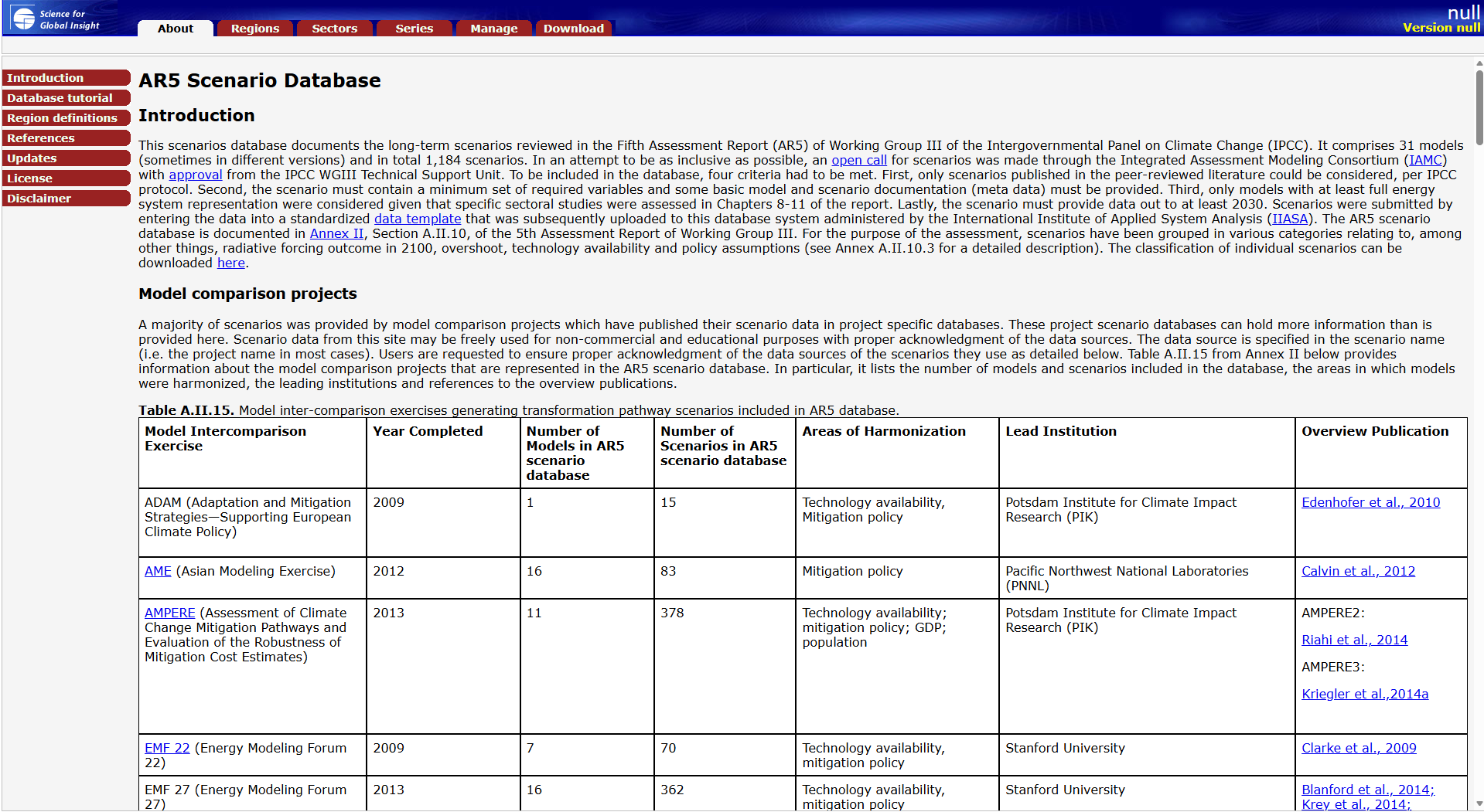
AR5 Scenario Database
The IPCC AR5 Scenario Database, hosted by IIASA, provides access to long-term emissions and mitigation scenarios assessed in Working Group III’s Fifth Assessment Report. It enables users to explore modelled pathways on climate change, energy systems and greenhouse gas emissions, supporting analysis of transition risks and policy-relevant climate outcomes.
Climate Impact Lab
Climate Impact Lab uses historical climate and socioeconomic data with evidence-based, data-driven analysis to quantify climate change impacts and economic costs at local and sector levels, informing policymakers, investors and business decisions, including an empirically-derived estimate of the social cost of carbon.
Carbon Tracker Initiative
Carbon Tracker’s Reports page hosts research analysing how supply, demand and climate policy affect fossil-fuel exposed companies and markets. It provides scenario analysis, methodological frameworks and sector-specific insights for investors and policymakers on climate-related financial risk and the energy transition.
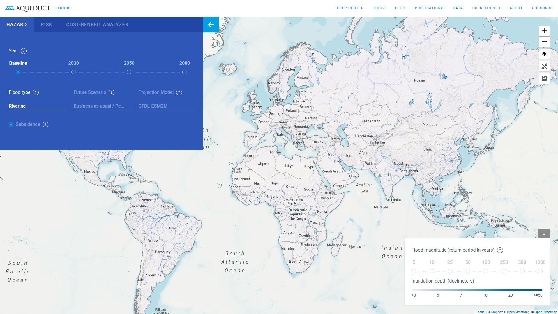
AQUEDUCT Floods
Aqueduct Floods is an interactive tool by WRI that maps current and projected riverine and coastal flood risk globally. It enables users to assess exposure, urban damage, and economic impacts under different climate scenarios, supporting risk analysis, resilience planning, and investment decision-making at country and sub-national levels.
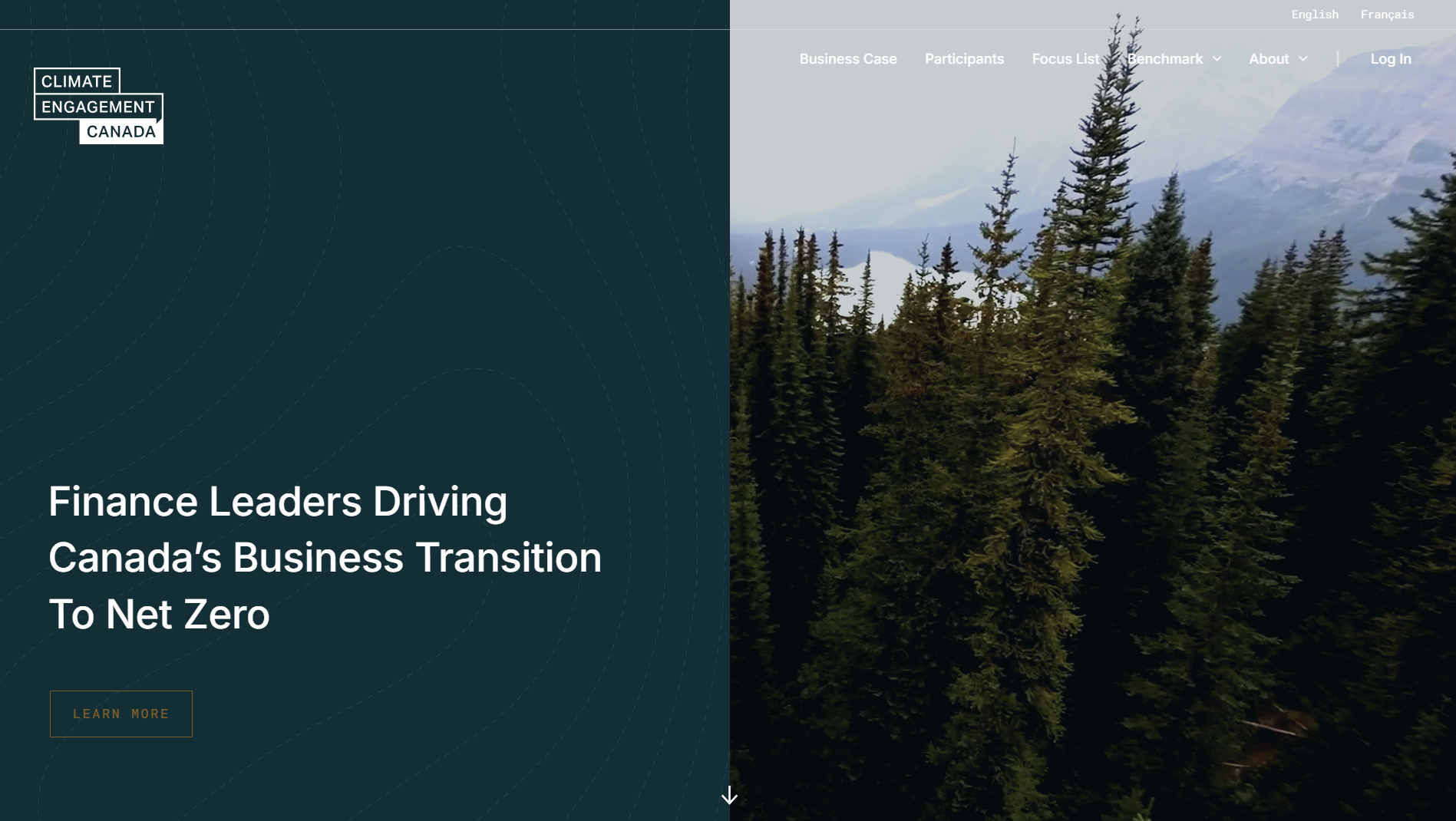
Climate Engagement Canada
Climate Engagement Canada is a public database that tracks and analyses climate-related engagement activities by Canadian institutional investors. It provides company-level information on engagement themes, progress, and outcomes to support transparency, accountability, and informed assessment of investor stewardship practices.
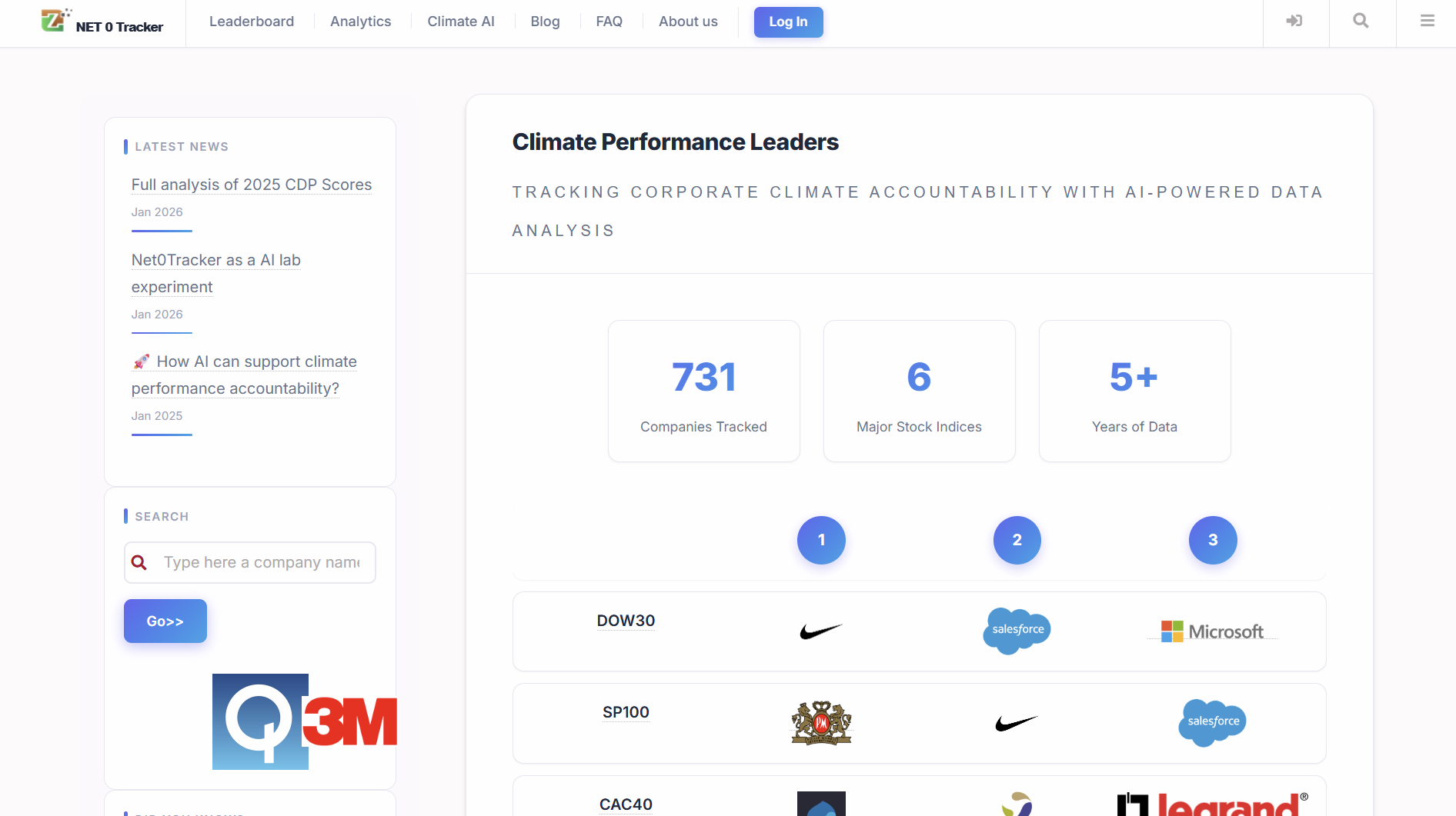
Net 0 Tracker
Net Zero Tracker is a publicly accessible database tracking net zero targets and progress of countries, regions, cities and companies. It standardises information on pledges, legal status and implementation, supporting comparison, accountability and evidence-based analysis of climate commitments.
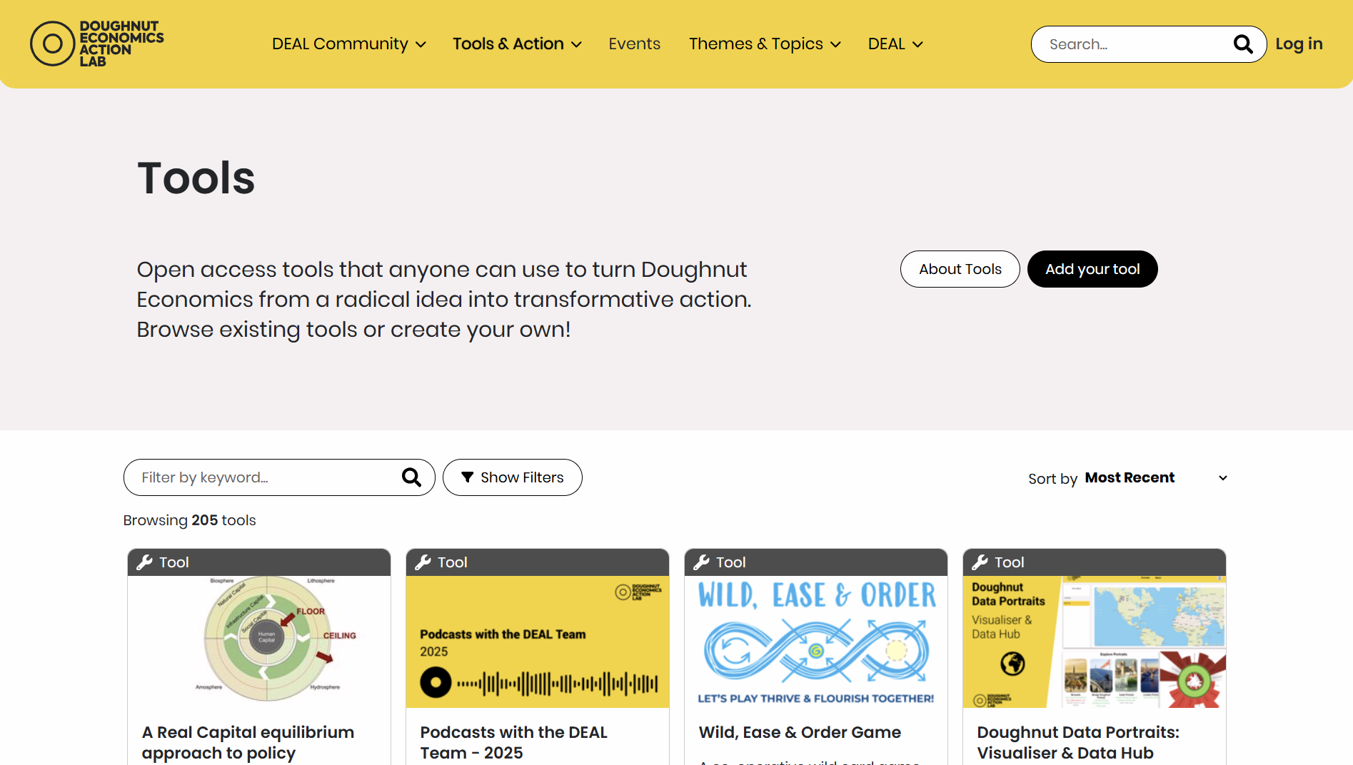
Doughnut Economics Action Lab
Doughnut Economics Action Lab tools provide practical frameworks, guides, and interactive resources to apply Doughnut Economics in policy, business, and place-based contexts, supporting decision-making that balances social foundations with ecological limits through evidence-informed, adaptable methodologies.
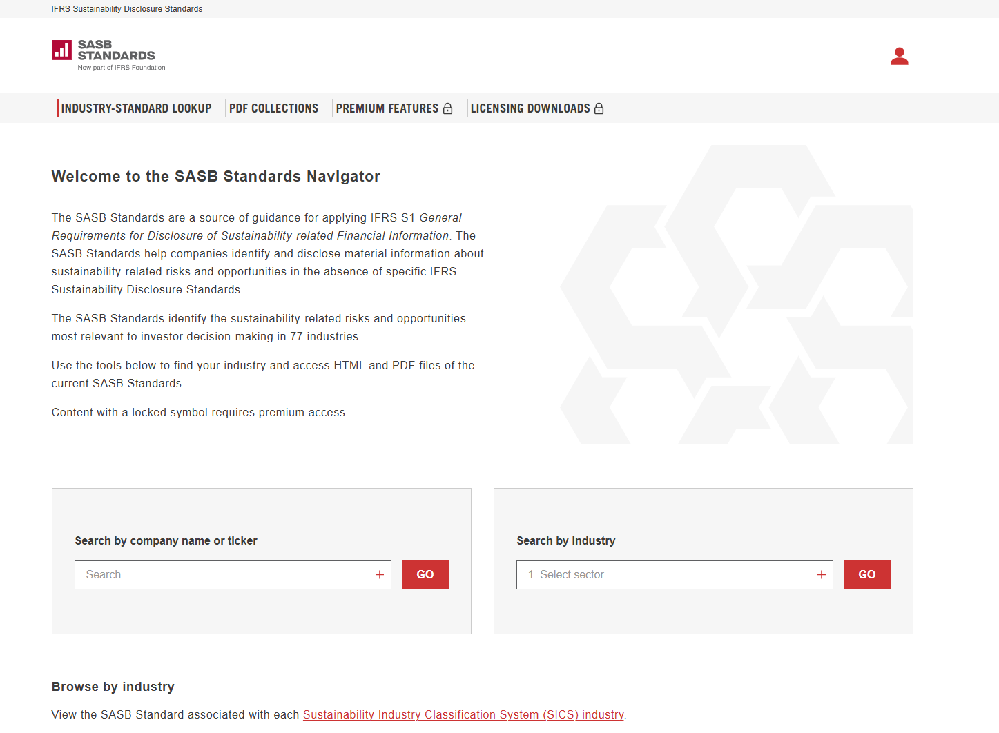
SASB Standards Navigator
The SASB Standards Navigator is an online database that enables users to explore industry-specific sustainability disclosure standards. It allows comparison of topics, metrics, and guidance across industries to support consistent ESG analysis and corporate reporting aligned with investor needs.
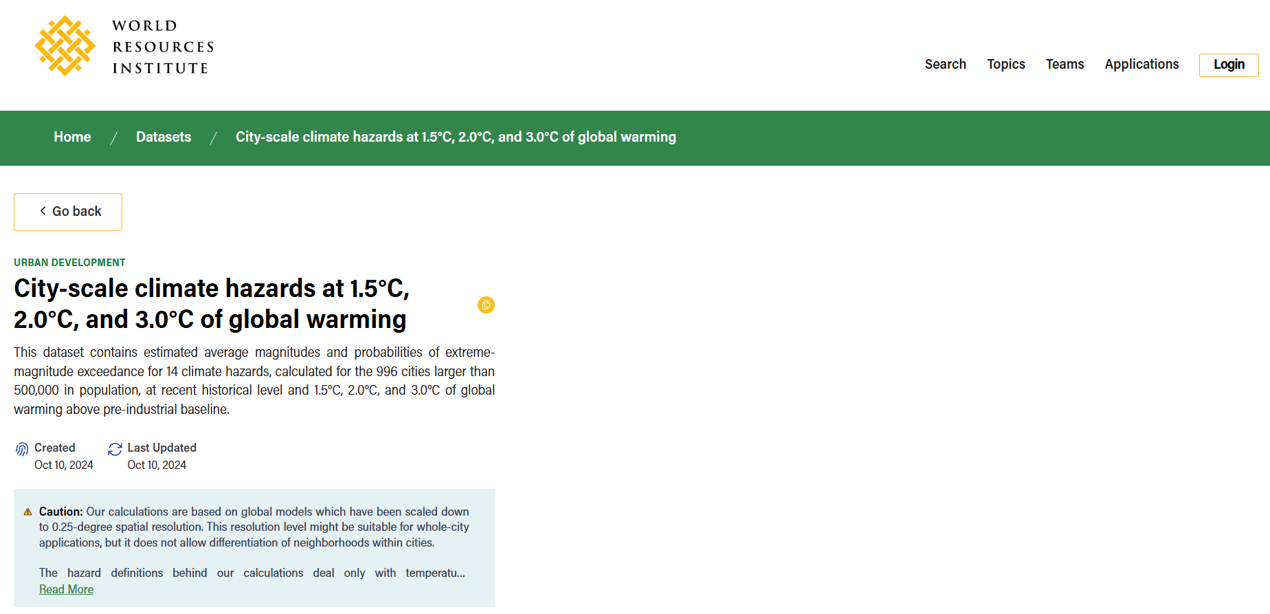
City-scale climate hazards at 1.5°C, 2.0°C, and 3.0°C of global warming
City-Scale Climate Hazard Indicators under Warming Scenarios is a global dataset by the World Resources Institute providing projected heat and precipitation hazard indicators for 996 large cities under 1.5°C, 2.0°C and 3.0°C warming scenarios, supporting climate risk and urban planning analysis.
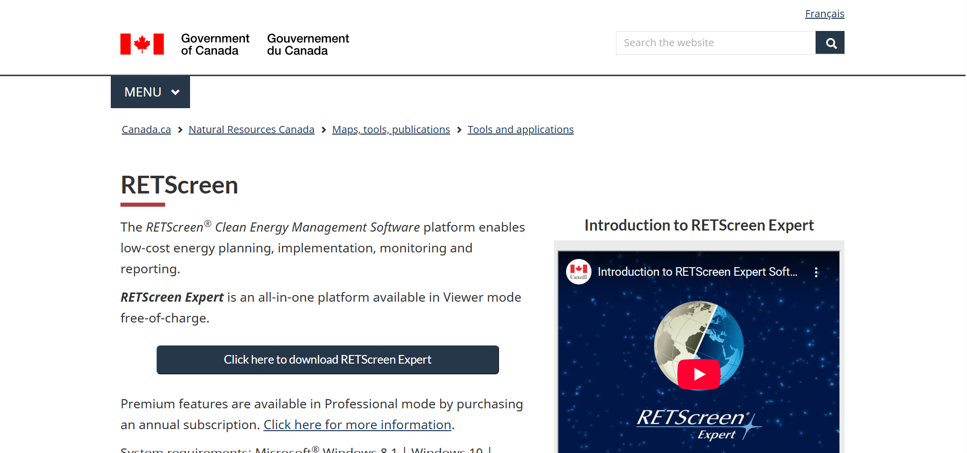
RETScreen
RETScreen is a clean energy management software developed by Natural Resources Canada to assess renewable energy and energy efficiency projects. It supports feasibility analysis, financial evaluation, energy performance tracking and greenhouse gas emissions analysis using integrated global climate, cost and benchmark datasets.
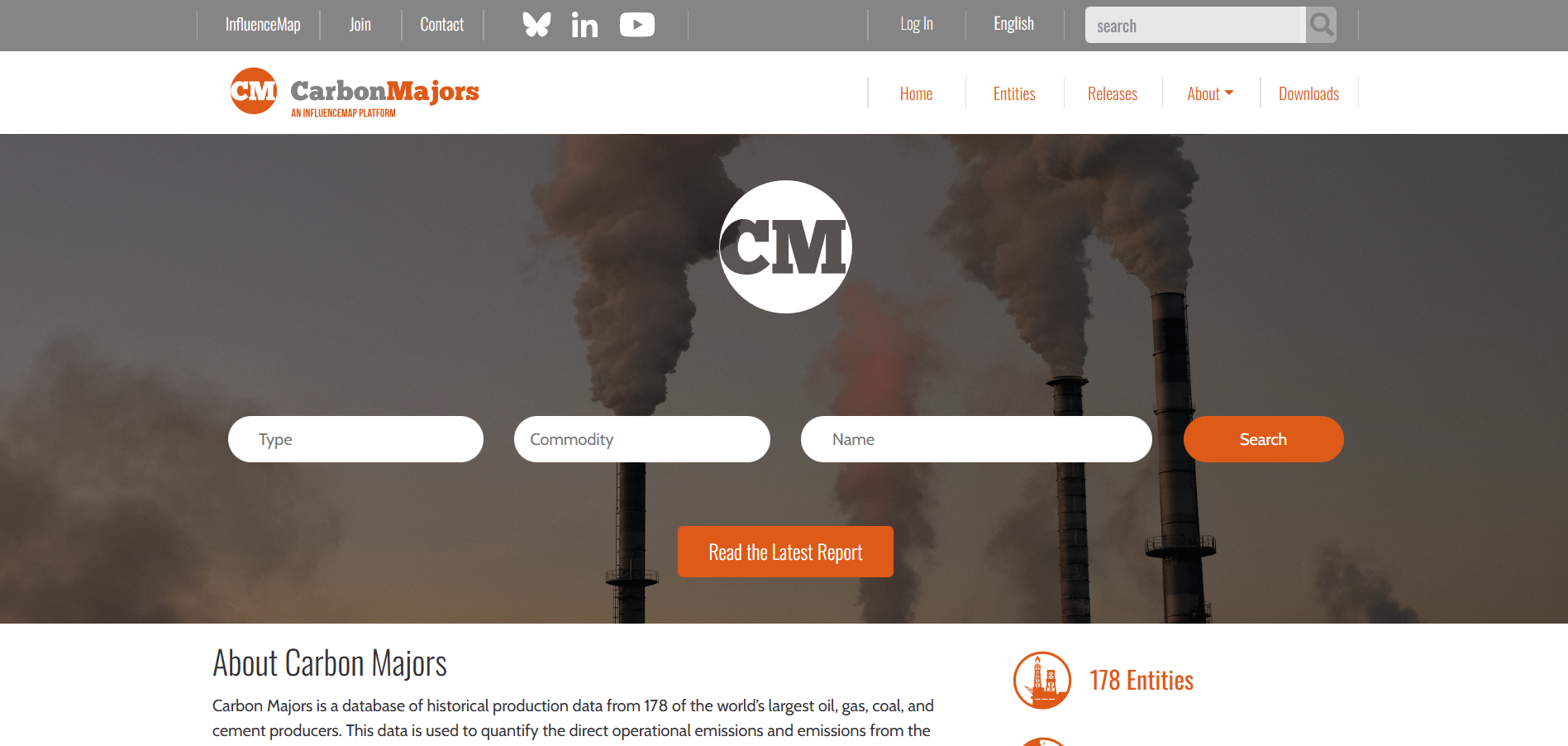
Carbon Majors
Carbon Majors is a public database that quantifies historical and current greenhouse gas emissions attributable to major fossil fuel producers. It provides company-level data, methodologies, and analysis to support climate risk assessment, policy research, and accountability across financial, regulatory, and academic contexts.
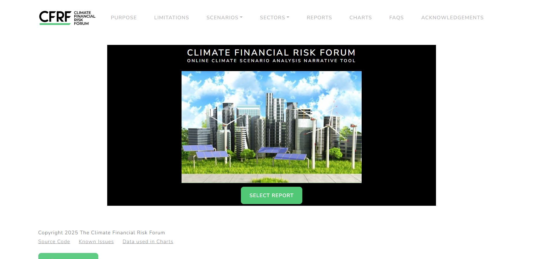
Online Climate Scenario Analysis Narrative Tool
An interactive climate financial risk tool developed by the UK Centre for Greening Finance and Investment to support scenario analysis. It enables users to explore climate transition and physical risk pathways for financial decision-making, stress testing, and research, with a focus on climate-related financial impacts.
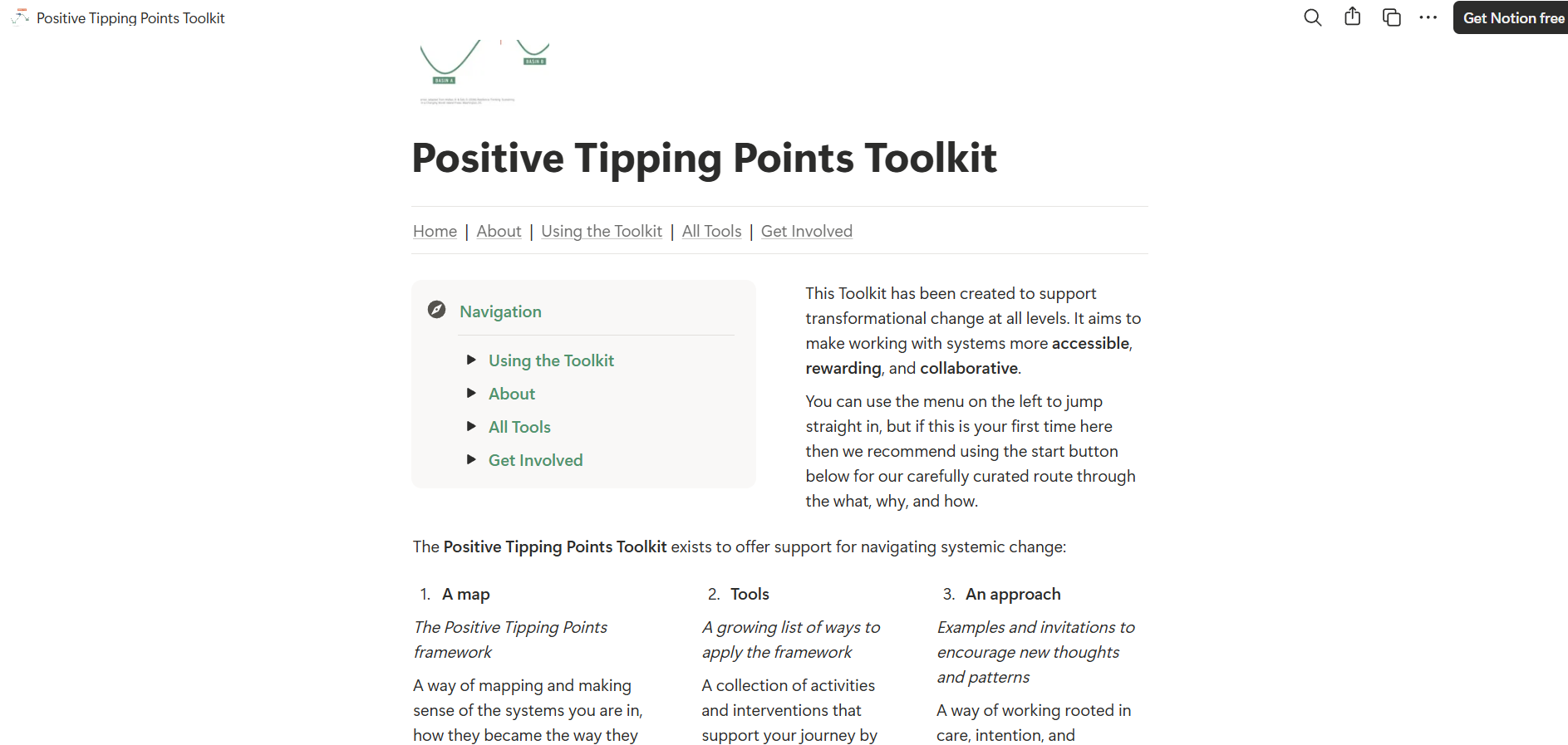
Positive Tipping Points Toolkit
The Positive Tipping Points Toolkit is an open-access, modular resource that supports analysis and application of positive tipping points in complex systems. It provides practical frameworks, examples and methods to identify leverage points and accelerate self-reinforcing change across social, environmental and economic contexts.
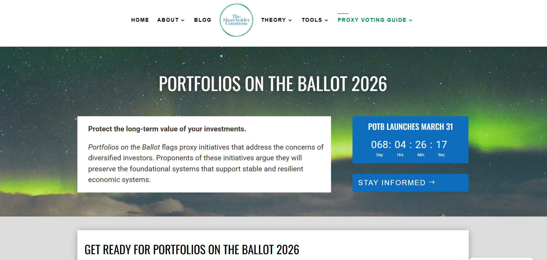
Portfolios on the ballot
Portfolios on the Ballot (POTB) is a tool by The Shareholder Commons that tracks shareholder proposals with potential system-wide economic impacts. It supports portfolio-level analysis of proxy votes, focusing on long-term market, social, and environmental risks relevant to diversified investors.
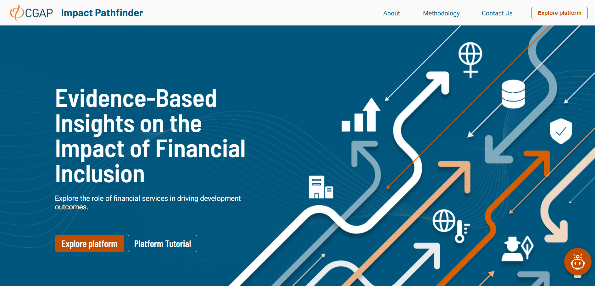
CGAP's Impact Path Finder
Impact Pathfinder is an interactive evidence platform developed by CGAP that maps how financial inclusion interventions contribute to development outcomes. It synthesises global research to inform investors, funders and policymakers on effective pathways, contextual factors and evidence gaps.
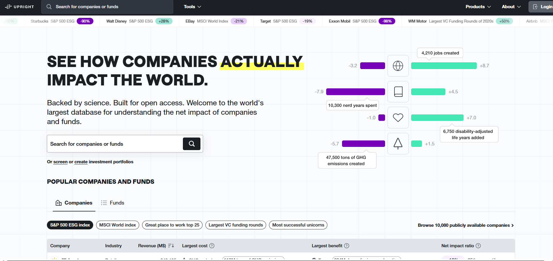
Upright Net Impact Model
Upright Platform offers impact-based ESG analytics that quantify companies’ positive and negative effects across environmental, social and economic dimensions. The S&P 500 ESG preset enables benchmarking of index constituents using monetised impact data to support portfolio analysis and comparability.


