U.S. Drought Monitor
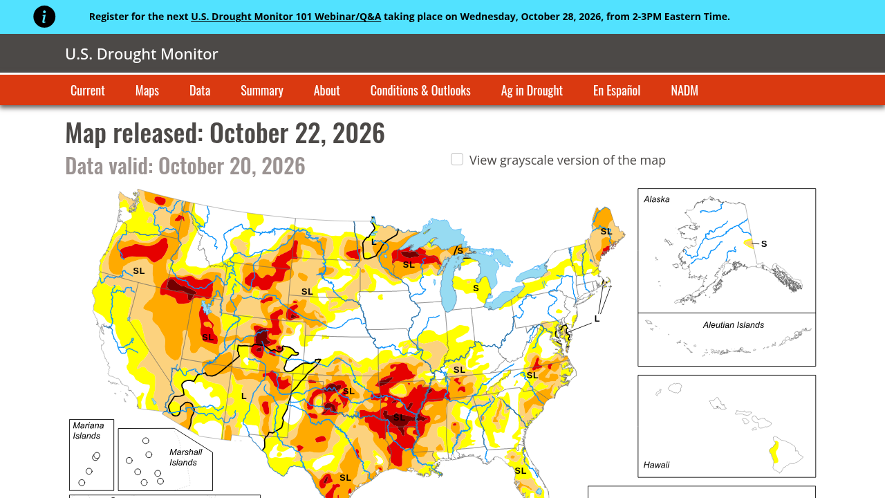
A weekly tool monitoring drought location and severity across the U.S., produced by the NDMC, USDA, and NOAA. It offers essential data for assessing agricultural risk and water stress.
Please login or join for free to read more.

OVERVIEW
The U.S. Drought Monitor (USDM) is a weekly map and data tool that tracks the location and intensity of drought across the United States and its territories. It provides a standardised assessment of moisture conditions by categorising drought into five levels of severity, ranging from Abnormally Dry (D0) to Exceptional Drought (D4). For finance professionals, this tool is a critical resource for assessing physical climate risks and identifying potential disruptions to supply chains and agricultural output.
Organisation behind the tool
The USDM is produced through a partnership between the National Drought Mitigation Center (NDMC) at the University of Nebraska-Lincoln, the United States Department of Agriculture (USDA), and the National Oceanic and Atmospheric Administration (NOAA).
What the tool does
- Updates weekly maps (released every Thursday) showing drought intensity across the continental U.S., Alaska, Hawaii, Puerto Rico, and Pacific Islands.
- Provides a data archive and time series for historical drought comparison and trend analysis.
- Offers downloadable GIS data, metadata, and high-resolution maps for technical integration.
- Features specific data tables and graphs for population statistics, drought severity, and coverage indices.
- Includes a Condition Monitoring Observer Report (CMOR) system for ground-level impact verification.
Target audience
The primary users include agricultural producers, meteorologists, and policymakers. Secondary audiences include researchers, infrastructure planners, and financial analysts monitoring climate-related physical risks.
Relevance to finance professionals
- Risk assessment – Evaluation of physical risk exposure for assets and operations located in regions prone to water scarcity and wildfires.
- ESG analysis – Provision of objective environmental metrics for reporting on climate adaptation and geographical water stress.
- Market/commodity insights – Assessment of potential impacts on agricultural yields, livestock productivity, and energy production (specifically hydropower).
- Investment context – Monitoring long-term environmental trends to inform real estate valuation, infrastructure longevity, and insurance underwriting.