Opportunity mapping
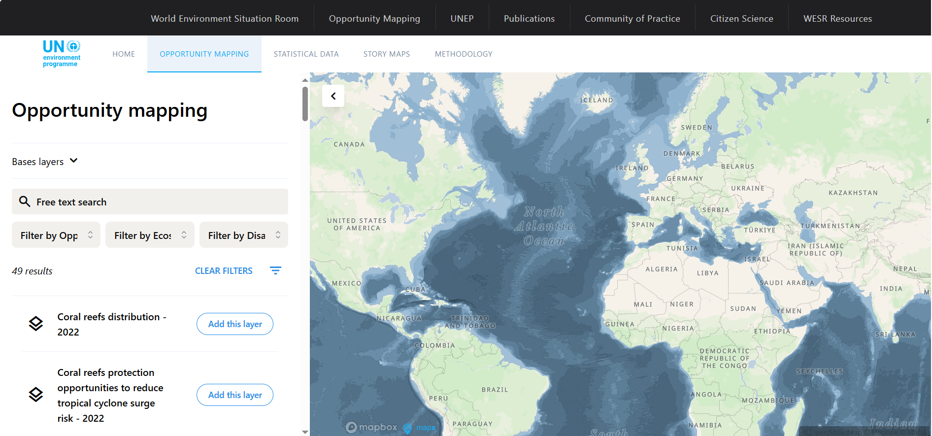
The Opportunity Mapping tool by UNEP/GRID overlays global data on ecosystem distribution and human exposure to hazards, pinpointing areas where ecosystem protection or restoration may reduce disaster risk and protect the greatest number of people.
Please login or join for free to read more.
OVERVIEW
The Opportunity Mapping tool is developed by UNEP / GRID-Geneva, with support from the European Commission, Norway and SIDA.
Target audience
- Decision-makers and practitioners in governments and public agencies
- Private sector and development organisations engaged in environmental, infrastructure or risk planning
- Analysts, spatial planners and climate / disaster risk experts
How it can help finance professionals
- It offers a spatial screening tool to locate regions where ecosystem protection or restoration can reduce hazard exposure and benefit many people.
- It helps prioritise nature-based investments by linking ecosystem services with risk reduction potential (e.g. mangroves reducing storm surge, forests reducing landslide susceptibility).
- It supports early screening of investment regions, enabling better alignment of climate adaptation and resilience funding.
- It provides downloadable spatial datasets and summary metrics to inform financial risk assessments, project appraisals or blended finance proposals.
Limitations to note
- It uses a coarse grid (~ 100 km² cells) and global data; local planning requires higher resolution and field validation.
- It does not account for feasibility or land-use constraints (e.g. built-up areas).
In sum, for finance professionals seeking to integrate resilience and nature-based solutions, this tool is a useful screening and prioritisation resource, not a substitute for local due diligence.
LINKS & ATTACHMENTS


SASB Sustainability Sector
Finance relevance
Asset Class
Sustainable Finance Practices
RELEVANT LOCATIONS
RELATED TAGS
Date added to Altiorem: 28 September 2025