Disaster risk platform
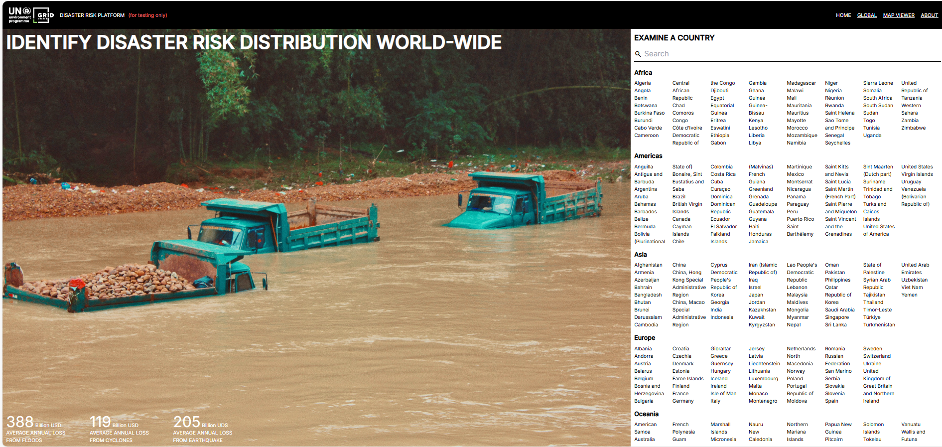
The UNEP/GRID-Geneva Disaster Risk Platform offers an interactive global interface for analysing exposure, vulnerability and hazard data. It aids evidence-based decision-making by mapping natural risks and socio-economic factors, supporting resilient development and risk-informed finance.
Please login or join for free to read more.
OVERVIEW
Developer & organisation
The platform is developed and hosted by UNEP/GRID-Geneva, which is part of the UN Environment Programme’s Global Resource Information Database network in partnership with the Swiss Federal Office for the Environment and the University of Geneva.
Target audience
The tool is designed for policymakers, planners, risk analysts, researchers and institutions that require geospatial insight into hazards, exposure and vulnerability.
Functionality & features
- Displays global hazard layers (floods, droughts, earthquakes, cyclones, landslides, etc.) and exposure (economic, population) across regions.
- Calculates Average Annual Loss (AAL) and probabilistic estimates to quantify risk.
- Allows users to visualise, overlay, download, or integrate datasets into GIS and analytical models.
- Supports future climate scenarios (e.g. using ISIMIP-3b projections) to assess changes in risk under climate change.
Relevance to finance professionals
- Assists in identifying contingent liabilities from natural hazards by estimating probable losses over time.
- Supports spatially informed stress testing, scenario analysis and resilience planning for infrastructure, real assets or investment portfolios.
- Enables integration of geospatial risk data into financial models, improving risk-adjusted decision making and capital allocation.
- Helps in regulatory reporting, climate risk disclosures and aligning investments with resilience objectives under changing hazard exposures.

