Environmental hotspots
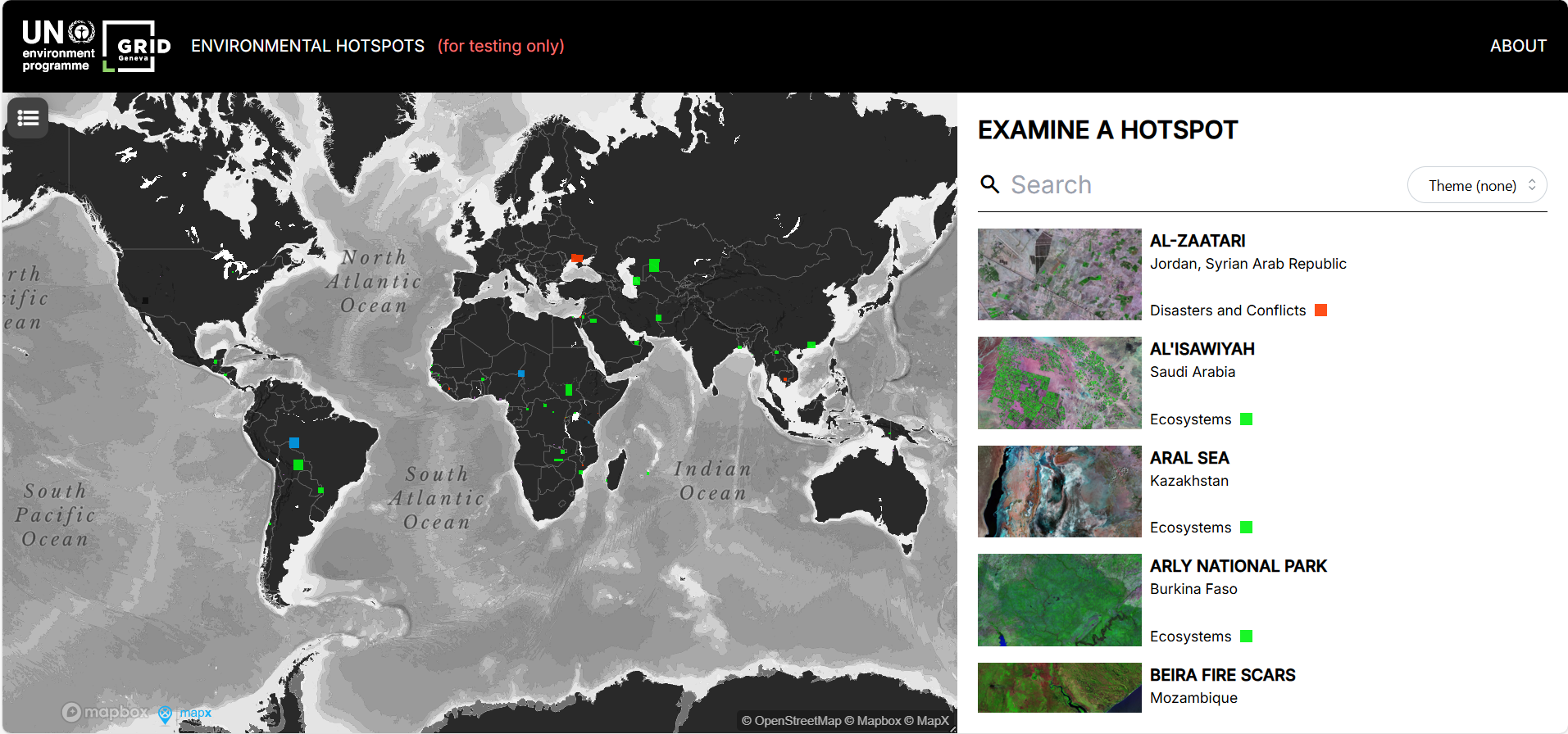
The Environmental Hotspots tool by UNEP offers an interactive map of high-risk ecological zones worldwide, allowing users to explore environmental pressures across sectors (e.g. ecosystems, resource extraction).
Please login or join for free to read more.
OVERVIEW
Developer & organisation
The tool is managed by UNEP’s Global Resource Information Database (GRID-Geneva) in conjunction with the MapX platform.
Target audience
Environmental analysts, policymakers, development agencies, climate and nature risk practitioners, and researchers seeking geospatial insight on ecological pressures.
Functionality & features
- Provides an interactive global map of environmental “hotspots” categorized by themes such as ecosystems, resource extraction, urbanisation, climate stress, disasters and conflicts.
- Enables temporal comparisons via satellite imagery (compare different years or spectral bands) to detect environmental change.
- Offers metadata for each hotspot, allowing drilling down into local pressures and drivers.
Relevance to finance professionals
- Assists in nature-risk and climate-risk screening by highlighting regions under high environmental stress
- Supports due diligence and ESG integration, particularly for investments or infrastructure in sensitive geographies
- Helps firms anticipate regulatory, physical or reputational risks associated with ecological degradation or resource conflicts
- Can inform scenario analysis and stress testing by overlaying hotspot data with asset or portfolio exposure.
LINKS & ATTACHMENTS


ESG issues
SASB Sustainability Sector
Finance relevance
Asset Class
Sustainable Finance Practices
RELEVANT LOCATIONS
RELATED TAGS
Date added to Altiorem: 30 September 2025