ESA WorldCover
The ESA WorldCover viewer offers an interactive web-map of global land cover at 10 m resolution, enabling overlay of Sentinel-1/2 composites, statistics by region, and download of data tiles, all without software installation.
Please login or join for free to read more.
OVERVIEW
Developer & organisation
The ESA WorldCover tool is an initiative under the European Space Agency (ESA), implemented by a consortium of European service providers and research organisations. The consortium has expertise in land cover mapping, Copernicus services and remote sensing.
Target audience
- Researchers, environmental analysts, spatial planners, and government agencies.
- Users requiring consistent global land cover data (e.g. in climate, ecology, land management).
Functionality & features
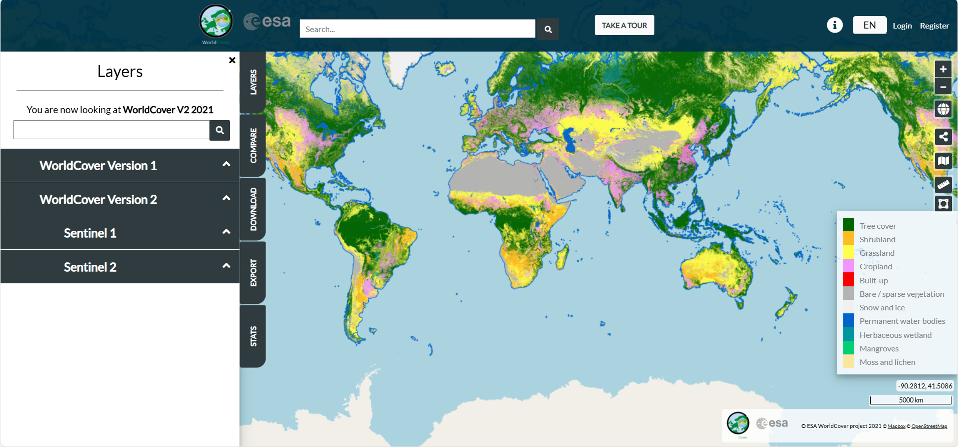
- Offers global land cover maps at 10 m resolution for 2020 and 2021, using combined Sentinel-1 (radar) and Sentinel-2 (optical) data.
- Provides 11 discrete land cover classes based on the FAO Land Cover Classification System.
- Features include:
• Web viewer for interactive visualisation (no local software needed)• Comparison of land cover vs Sentinel composites, region statistics per administrative unit• Data download as Cloud Optimised GeoTIFF (COG) tiles, region-of-interest downloads, and programmatic access via APIs or Python tools• Support for Web Map Services (WMS, WMTS) and integration with GIS tools or web clients (for visualisation, though less suited for analysis)• Independent validation: 2021 product achieves ~ 76.7 % global accuracy.
Relevance to finance professionals
- ESG / Natural capital risk: Enables quantification of land use, deforestation, urban expansion, or habitat loss exposure in investment regions.
- Valuation & due diligence: Integrate spatial land cover data into models—for instance, estimating carbon credits, agribusiness productivity, water stress impacts.
- Portfolio monitoring: Track changes over time in regions of interest to detect evolving environmental or regulatory risk.
- Scenario analysis: Use high-resolution land cover data in stress tests (e.g. climate, land regulation shifts) or for climate compliance metrics.
- Transparency & reporting: Employ publicly available, high-quality geospatial data to support disclosures (TCFD, sustainable finance frameworks) without licensing constraints.
LINKS & ATTACHMENTS


ESG issues
SASB Sustainability Sector
Finance relevance
Asset Class
Sustainable Finance Practices
RELEVANT LOCATIONS
RELATED TAGS
Date added to Altiorem: 29 September 2025